
This Gorgeous Nevada Bike Pathway Packs Over 30 Miles Of Desert Views
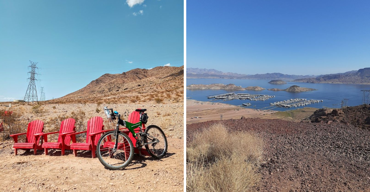
Southern Nevada has a bike ride that feels more like a desert road trip without the car. This paved route rolls for more than 30 miles through open basins, rugged hills, lake views, and wide stretches of sky that make the Las Vegas area feel surprisingly far away.
It is long enough to feel like a real adventure, but easy to enjoy in shorter sections if the full loop sounds like too much. Riders get a traffic-free path built for human-powered fun, plus overlooks, trail connections, and scenery that keeps shifting along the way.
With desert colours, mountain edges, and lake glimpses packed into one route, this Southern Nevada ride feels anything but ordinary.
The Trail Loops For Around 34 Miles Through Southern Nevada
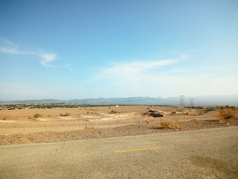
The complete circuit measures approximately 34 miles, forming a continuous loop that begins and ends at the same point regardless of where you start. Riders can access the trail from multiple trailheads scattered around the route, each offering parking and basic facilities.
The pathway itself maintains a consistent paved surface throughout its length, eliminating concerns about sudden terrain changes or rough patches that might interrupt momentum.
Completing the full loop typically requires three to five hours depending on fitness level and how often you stop to absorb the scenery. The route gains and loses elevation gradually in most sections, though certain segments present more demanding climbs.
Carrying sufficient water becomes essential since services remain sparse once you leave the trailheads, and the desert climate can dehydrate cyclists faster than anticipated even during cooler months.
It Connects Henderson, Boulder City, And Lake Mead
Three distinct destinations anchor different portions of the loop, creating natural stopping points and access locations. Henderson sits on the western edge, providing urban amenities and several trailhead options for those starting from the valley floor.
Boulder City occupies the southern section, its historic downtown just minutes from the trail and offering cafes and shops for pre-ride fueling or post-ride recovery.
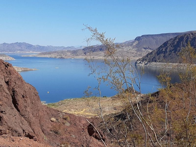
Lake Mead National Recreation Area forms the eastern boundary, where the trail climbs toward overlooks that reveal the reservoir stretching into the distance. This connectivity transforms the route from a simple cycling path into a regional recreation corridor that links communities with natural landmarks.
Riders can plan partial loops that focus on specific segments, using the town connections to create shorter out-and-back routes rather than committing to the full 34-mile circuit in a single outing.
The Path Is Paved And Built For Non-Motorised Recreation
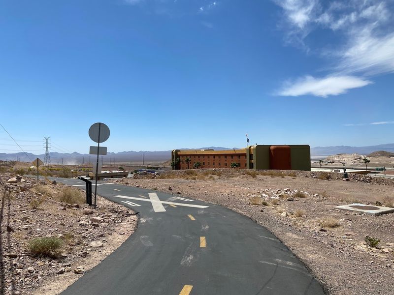
Smooth asphalt covers the entire route, creating conditions that accommodate road bikes, hybrid cycles, inline skates, and pedestrians with equal ease. The surface receives regular maintenance to address cracks and weather damage, keeping the pathway safe for thin tires and fast speeds.
Lane markings appear at intervals to guide traffic flow, though the trail width allows comfortable passing even during busier weekend periods.
Motor vehicles receive no access to the trail itself, eliminating the stress and danger that comes from sharing space with cars or motorcycles. This separation creates an atmosphere where families can ride together without constant vigilance, and faster cyclists can maintain their pace without navigating around automotive traffic.
The design reflects a commitment to human-powered recreation, reserving this corridor exclusively for those willing to move under their own strength through the desert landscape surrounding the communities it serves.
Cyclists Get Desert, Mountain, And Lake Views In One Ride
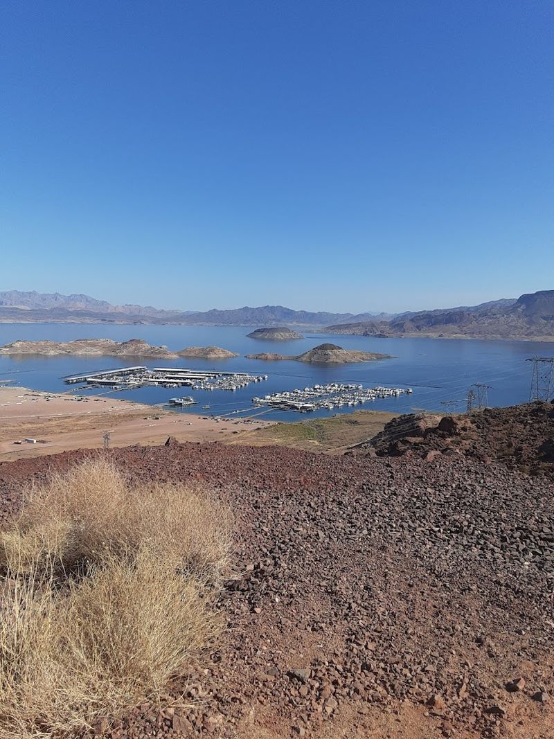
Few routes pack such varied scenery into a single loop without requiring a car shuttle or backtracking. Desert vegetation dominates the lower sections, where creosote bushes and barrel cacti populate the sandy soil between trail and horizon.
Mountain ridges rise on multiple sides as you progress, their rocky faces changing color with the sun’s angle and providing dramatic backdrops for the physical effort of climbing.
Lake Mead appears as you gain elevation on the eastern portions, its blue surface contrasting sharply with the surrounding tan and brown landscape. The variety prevents visual monotony during the hours required to complete the circuit.
Each section presents different photographic opportunities and distinct moods, from the intimate scale of desert washes to the grand perspectives available from higher elevations where all three landscape types appear simultaneously in your field of vision.
Lake Mead Is One Of The Biggest Scenic Rewards
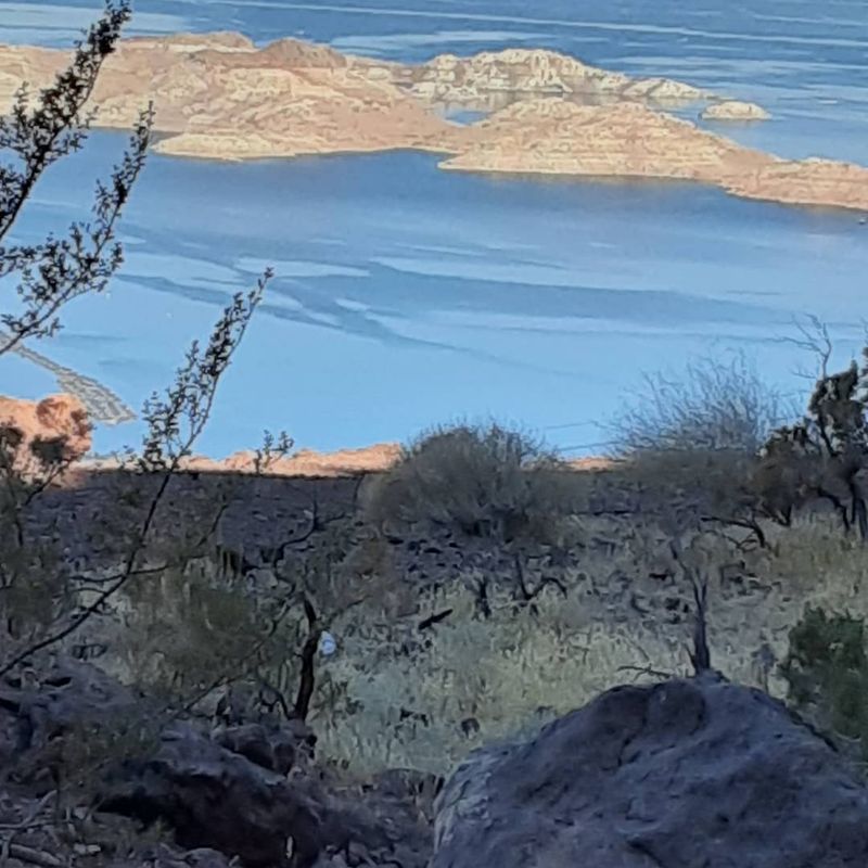
The reservoir stretches across the eastern horizon as you climb toward Boulder City, revealing more of its massive surface with each upward pedal stroke. Lake Mead ranks among the largest human-made reservoirs in the United States, and viewing it from the elevated trail sections provides perspective on its scale that ground-level approaches cannot match.
The water’s presence in an otherwise arid environment creates visual drama that justifies the effort required to reach the overlook points.
Photographers often time their rides to catch morning or late afternoon light reflecting off the lake surface, when the water takes on deeper blue tones and the surrounding cliffs glow with warm color. The contrast between liquid and desert proves especially striking during summer months when temperatures soar and the sight of water becomes psychologically refreshing even from a distance.
These views represent the trail’s most memorable moments for many riders.
The Trail Was Named A National Recreation Trail In 2010
Federal recognition arrived in 2010 when the National Park Service added the loop to its registry of outstanding recreational trails. This designation acknowledges routes that provide exceptional opportunities for outdoor activity while demonstrating quality construction and maintenance standards.
The honor places the River Mountains Loop among a select group of American trails deemed worthy of national attention and protection.
Achieving this status required documentation of the trail’s design, usage patterns, and community support, proving its value beyond local boundaries. The recognition has helped secure funding for improvements and raised the route’s profile among cycling tourists planning trips to the Las Vegas area.
Signs along the trail mark its National Recreation Trail status, reminding users that they ride on a pathway considered significant enough to merit federal acknowledgment and the preservation efforts that designation encourages.
It Has Become A Destination Ride For Cyclists
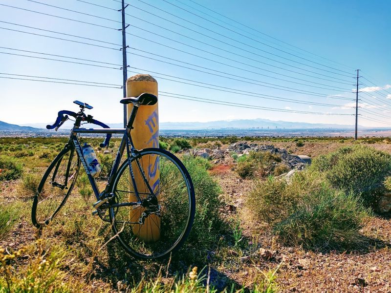
Serious cyclists now travel specifically to ride this loop, adding it to their collection of notable routes across the American West. The combination of length, scenery, and well-maintained pavement attracts riders seeking a substantial workout without the complications of traffic or poorly marked roads.
Local cycling clubs use the trail for group rides and training sessions, while visiting enthusiasts incorporate it into Las Vegas vacation itineraries.
Bike shops in Henderson and Boulder City report increased rental activity tied to the trail, with customers arriving from other states and countries to experience the route firsthand. The loop’s reputation has grown through word of mouth and online cycling forums where riders share their experiences and recommend the trail to others seeking quality desert riding.
This destination status brings economic benefits to surrounding communities while validating the investment made in creating and maintaining such an extensive recreational facility.
Riders May Spot Desert Wildlife Along The Route
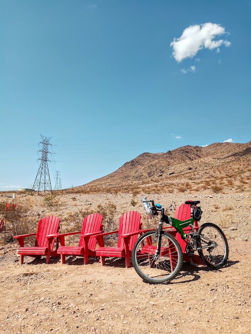
Bighorn sheep inhabit the rocky slopes visible from various trail sections, and patient observers sometimes catch sight of these agile animals navigating terrain that appears impossibly steep. Jackrabbits bound across the pathway with startling speed, their oversized ears rotating to track sounds as they disappear into the scrub.
Lizards sun themselves on rocks near the trail edge, and hawks circle overhead scanning for prey in the open desert below.
Early morning and late afternoon rides increase wildlife encounter odds since many desert animals avoid midday heat by seeking shade or remaining in burrows. The trail’s quiet nature allows animals to maintain their normal routines without the disturbance that motor vehicle traffic creates.
Carrying binoculars adds another dimension to rest stops, turning brief pauses into wildlife observation opportunities that enrich the cycling experience beyond simple athletic achievement and scenic photography.
The Loop Links To Other Nevada Trails
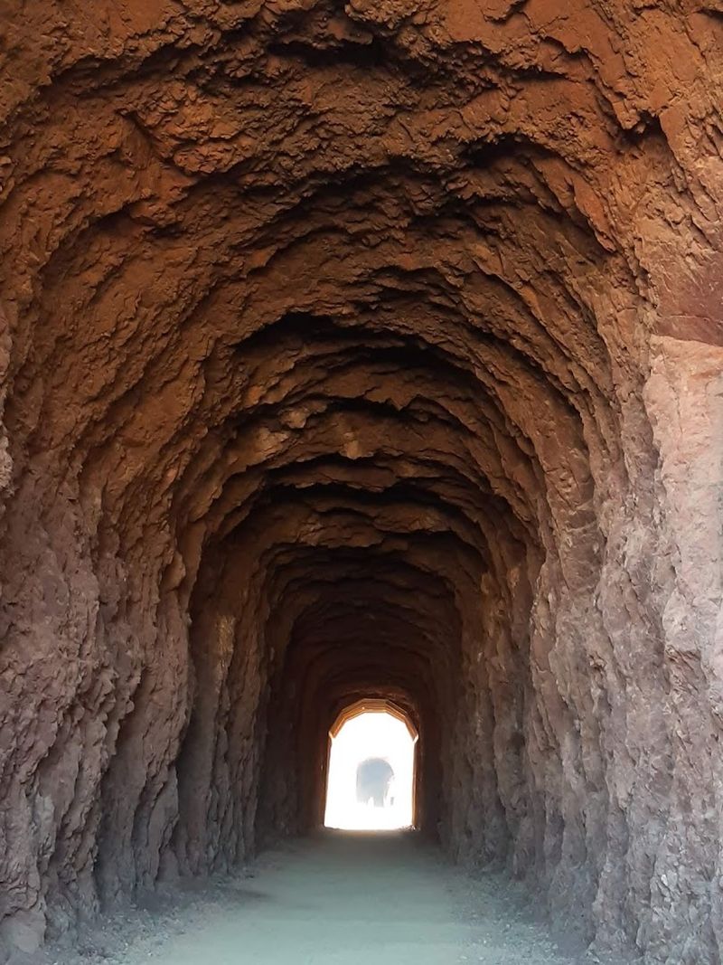
Several connecting trails branch from the main loop, extending recreational possibilities for those who finish the circuit and want additional mileage. These offshoots lead into different sections of Lake Mead National Recreation Area and connect with pedestrian paths in Henderson and Boulder City.
Riders can customize their route length by incorporating these spurs, creating longer adventures or accessing specific viewpoints not visible from the main loop.
Trail maps available at trailheads show these connections clearly, allowing riders to plan extended routes before departing. Some connections lead to historical sites or additional overlooks that reward the extra effort with unique perspectives.
The network concept transforms the loop from an isolated pathway into part of a larger regional trail system that continues to expand as communities recognize the value of connected recreational infrastructure. Future plans call for additional links that will further integrate the loop into Southern Nevada’s growing trail network.
Some Sections Include Climbs, Switchbacks, And Big Open Views
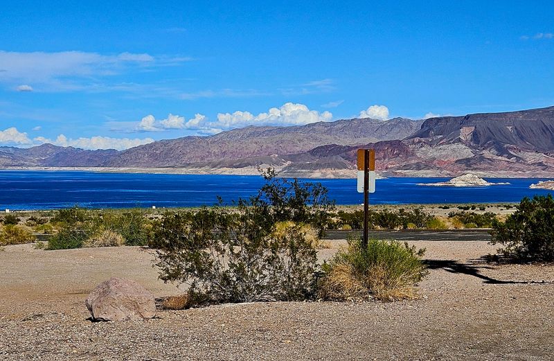
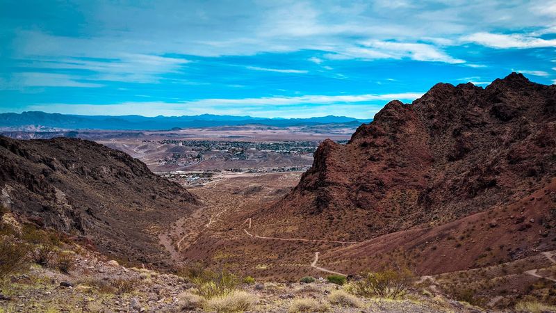
The route does not maintain constant elevation, instead rising and falling as it follows the natural contours of the terrain between communities. Certain segments present sustained climbs that test leg strength and cardiovascular fitness, particularly the approaches to higher elevations near Lake Mead.
Switchbacks appear where the grade becomes too steep for a direct ascent, the trail doubling back on itself to gain altitude more gradually.
These climbing sections deliver the most expansive views as reward for the effort expended reaching them. From elevated positions, riders can see across miles of desert floor to distant mountain ranges, with the trail itself visible as a ribbon curving through the landscape below.
The descents that follow each climb provide thrilling momentum and a chance to recover before the next upward section begins. This varied topography prevents the monotony that flat routes sometimes create during long rides.
The Route Passes Near Historic Boulder City
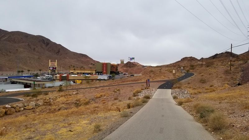
Boulder City emerged in the 1930s as a company town built to house workers constructing Hoover Dam just miles away. The community retains much of its original character, with orderly streets and buildings reflecting the planned nature of its creation.
Riders passing through or near the town encounter this history directly, as the trail crosses areas where dam workers once lived and worked during one of America’s most ambitious engineering projects.
The town remains one of only two places in Nevada where gambling is prohibited, preserving a quieter atmosphere distinct from the Las Vegas valley visible to the west. Small museums and historic markers throughout Boulder City tell the dam construction story, making the town worth exploring beyond its function as a trail access point.
The proximity allows cyclists to combine their ride with historical education, adding cultural depth to what might otherwise be purely athletic or scenic recreation.