
The Lake Created By Tennessee’s Oldest TVA Dam Has A Fascinating History
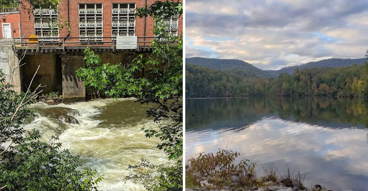
What happens when a river is stopped, a valley begins to fill, and an entirely new lake appears on the map? In Tennessee, that story began with an ambitious dam project that changed the landscape for generations.
The water may look calm today, but its past is anything but ordinary. Engineers faced rough terrain, limited equipment, and challenges that would slow down even a modern construction crew.
Nearby communities watched as familiar land disappeared beneath rising water.
Over time, the lake became a favorite place for boating, fishing, and quiet afternoons near the shore. Yet every peaceful view carries a piece of a much larger story.
This is not simply a lake created for power. It is a reminder of how bold ideas can reshape nature, influence local life, and leave a legacy that still feels present today.
Its history might make you see those blue waters very differently.
Engineering A New Horizon For Power
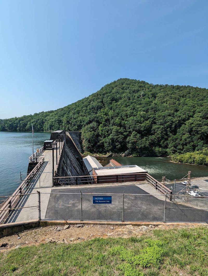
Back in 1910, a bold group of engineers set out to harness one of Tennessee’s most powerful rivers. Construction on Ocoee Dam No. 1 began under the East Tennessee Power Company, and it was no small task.
The dam stands 135 feet high and stretches 840 feet across the Ocoee River.
To build it, workers poured an extraordinary 160,000 cubic yards of concrete. The project cost approximately $2.7 million, a staggering sum for that era.
Around 1,500 workers and their families relocated to a temporary town built specifically for the project, complete with its own waterworks, fire department, police force, stores, and hospital.
That level of planning tells you something about the ambition behind this undertaking. Nothing about this project was improvised.
Every detail was considered, every resource carefully arranged.
When Ocoee Dam No. 1 finally came online in January 1912, it marked a turning point for the entire region. It became the first hydroelectric dam in Tennessee, generating 18 megawatts across five units.
Power reached major cities including Chattanooga, Knoxville, Nashville, and even Rome, Georgia, lighting homes that had only recently discovered electricity.
The Original Current That Ignited A Region
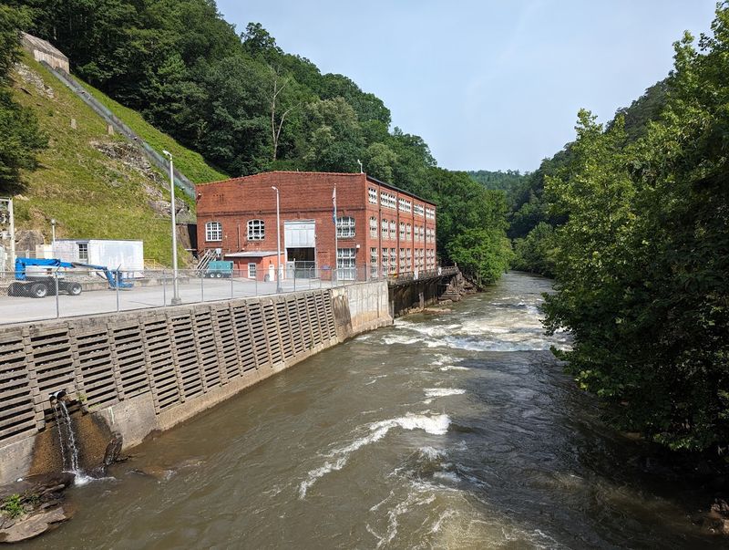
Electricity was a novelty in 1905. By 1912, Ocoee Dam No. 1 was already sending power across hundreds of miles of cable.
The commercial operation of this dam represented one of the earliest large-scale hydroelectric achievements in the entire country.
Its five generating units produced 18 megawatts, enough to supply growing urban centers with reliable power. Cities like Chattanooga and Knoxville were expanding rapidly, and their appetite for electricity was growing just as fast.
The dam answered that demand with remarkable consistency.
What made this achievement especially meaningful was its timing. The demand for household electricity had only emerged around 1905, meaning the dam arrived precisely when communities needed it most.
Engineers and planners had read the future correctly.
The dam also helped establish a model for how rivers could be responsibly harnessed for public benefit. It demonstrated that mountain waterways, long admired for their scenic character, could also serve as engines of regional progress.
That dual identity, both natural wonder and practical resource, remains central to how the Ocoee River is understood today. The legacy of that original current still runs through every light switched on in the surrounding communities.
A River’s Ancient Echoes And Its Cherokee Roots
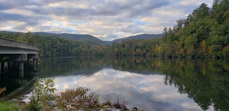
Long before any dam broke the river’s surface, the Ocoee carried a different kind of significance. For the Cherokee people, this river was a lifeline, woven into their agriculture, trade, and daily movement through the mountains.
Its banks were familiar, its currents trusted.
The name Ocoee itself comes from a Cherokee word believed to mean apricot vine place or passionflower, a reference to the native plants flourishing along its edges.
That botanical connection speaks to how intimately the Cherokee understood the land around them.
They did not simply live near the river. They lived with it.
Passionflowers still bloom in the region today, their intricate purple blossoms appearing each summer as a quiet reminder of the landscape’s older story. Walking the area with that knowledge adds a layer of meaning that maps and guidebooks rarely capture.
The Cherokee were eventually displaced through a series of forced removals in the 1830s, a painful chapter in American history that the river’s peaceful appearance does little to betray. Still, the name they gave this place endures.
Every time someone says Ocoee, they are, perhaps unknowingly, speaking a word rooted in centuries of indigenous relationship with this land.
Parksville Lake And Its Place In The Forest
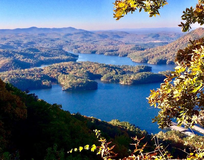
The reservoir created by Ocoee Dam No. 1 carries two names depending on who you ask. Officially, it is called Parksville Lake.
Locally and in most conversations, it goes by Lake Ocoee. Both names point to the same remarkable body of water sitting in Polk County, Tennessee 37369.
Covering 1,930 acres of surface area, the lake offers 47 miles of shoreline wrapped almost entirely by the Cherokee National Forest. That natural border gives the lake a sense of seclusion that larger, more developed reservoirs rarely achieve.
The trees come right down to the water’s edge in many places.
The lake holds the distinction of being the oldest within the Cherokee National Forest, a fact that gives it a kind of quiet seniority among the region’s many waterways.
Water levels fluctuate roughly nine feet between summer and winter, which shapes the shoreline’s character across the seasons.
Public access points like Mac Point and Parksville Beach make the lake approachable without overwhelming it. Boat launches allow anglers and paddlers to spread across the water comfortably.
The main dam, Ocoee Dam No. 1, sits at 1988 TN Hwy. 64 E., Benton, Tennessee, and remains visible and operational after more than a century of continuous service.
TVA’s Enduring Stewardship Over The Dam
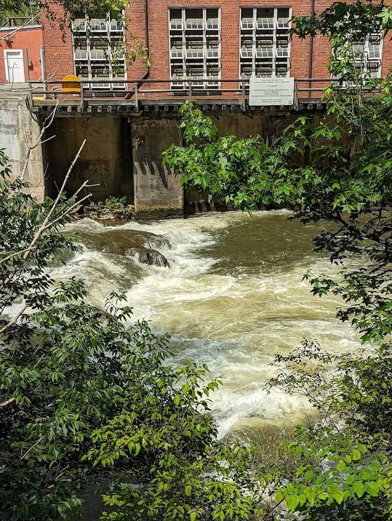
In 1939, the Tennessee Valley Authority acquired both Ocoee Dam No. 1 and Ocoee Dam No. 2 from the East Tennessee Power Company.
That transfer brought the historic dam under federal stewardship, integrating it into one of the most ambitious public utility systems ever built in the United States.
The TVA was created during the Great Depression as part of President Franklin Roosevelt’s New Deal, designed to bring electricity, flood control, and economic development to the Tennessee Valley.
Acquiring the Ocoee dams fit naturally into that mission. The infrastructure was already in place. The TVA simply carried it forward.
Today, Ocoee No. 1 stands as the first of three TVA dams on the Ocoee River. Together, they form a coordinated system that balances power generation with recreational access and environmental management.
The TVA oversees not just the dam itself but the surrounding lake and shoreline.
That stewardship has shaped how the public experiences Lake Ocoee. Recreational areas, maintained boat launches, and managed water levels all reflect deliberate planning rather than accident.
The TVA’s presence has kept the lake accessible, functional, and surprisingly well-preserved for a reservoir now well over a century old.
Whitewater Glory And The 1996 Olympic Legacy
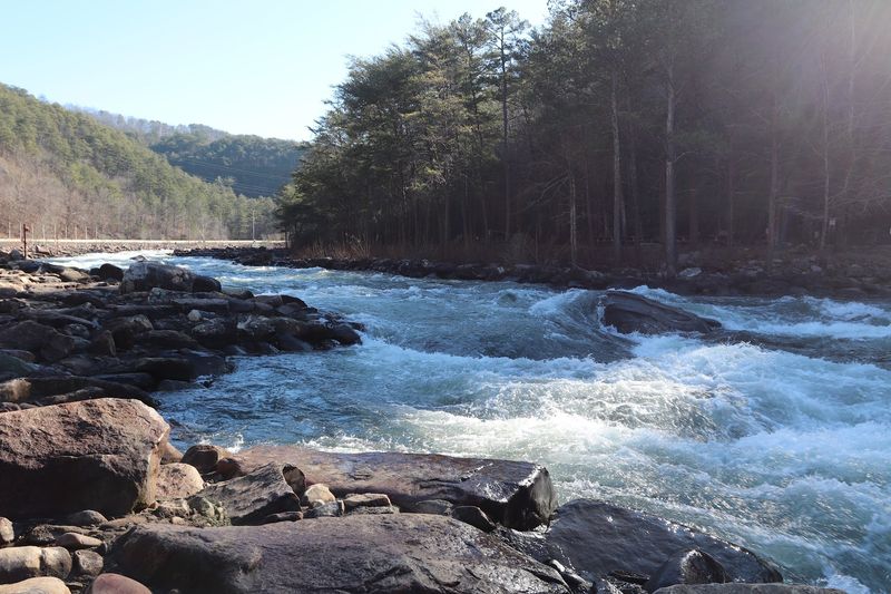
No other natural river in Olympic history has hosted canoe and kayak slalom events quite like the Ocoee did in 1996.
When the Atlanta Games needed a whitewater venue, the Ocoee River earned the assignment, and it delivered one of the most memorable settings in Summer Olympics history.
The river was already considered one of the top ten whitewater destinations in the country before the Olympics arrived. Its rapids are technical and demanding, drawing serious paddlers from across the continent every season.
The Olympic selection only confirmed what the whitewater community already knew.
To prepare for competition, sections of the riverbed were carefully reshaped and narrowed to meet Olympic course specifications. The natural character of the river was largely preserved in the process.
A dedicated Ocoee Whitewater Center was constructed nearby to support athletes and spectators, and it continues to serve as a gathering point for paddling enthusiasts today.
The Ocoee holds a unique distinction as the first and only natural river used for Olympic whitewater competition. That record has never been broken.
Just below the dam at Sugarloaf Park, a scale model of the Olympic course is on display, giving curious onlookers a sense of the remarkable course that once defined a chapter in Games history.
Recreation, Wildlife, And The Cherokee National Forest
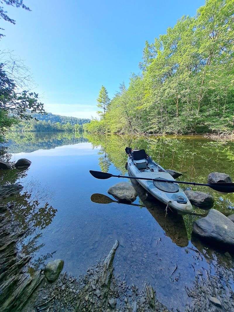
Lake Ocoee draws people for many reasons, and fishing ranks high among them. Spotted bass are abundant in the lake, and stocking efforts in 2017 introduced native muskellunge back into the water.
Landing one of those fish requires patience, skill, and a good deal of early morning commitment.
Beyond fishing, the lake accommodates motorboating, kayaking, paddleboarding, and swimming. The 1,930-acre surface gives everyone enough room to find their own pace.
Parksville Beach offers a sandy entry point for swimmers, while Mac Point provides solid boat launch access for those heading out on the water.
The Cherokee National Forest surrounds the lake on nearly every side, and its presence is felt immediately. Hiking trails branch off into the hills, campgrounds appear at regular intervals, and wildlife sightings are genuinely common.
Bald eagles have been spotted over the lake, a detail that surprises first-time visitors who did not expect such a bird in this part of Tennessee.
The Ocoee Scenic Byway runs along Highway 64, offering continuous views of the lake and the forested ridgelines above it.
Driving that road at a relaxed pace, with the windows down and the trees pressing close, gives a clear picture of why this corner of Polk County holds such steady appeal across every season.
The Calm That Follows The Current
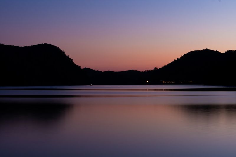
There is a noticeable shift in atmosphere as you move from the whitewater section of the Ocoee River down to the lake itself. The river rushes and churns upstream.
The lake, by contrast, sits wide and composed, its surface moving only with the wind and the occasional boat wake.
Sugarloaf Park, located just below the dam, offers a calm and unhurried setting for a midday break. Picnic tables are spread across a shaded area, and the scale model of the 1996 Olympic course provides an unexpected conversation starter.
It connects the lake’s present tranquility to the river’s athletic past in a way that feels genuinely thoughtful.
Anglers often work the mossy banks in the early morning hours, casting toward the shaded edges where bass tend to hold. The shoreline timber provides natural structure for fish and visual depth for anyone simply watching the water from shore.
It is the kind of place that rewards patience.
Driving Highway 64 along the lake offers a perspective that is hard to replicate on foot. The road curves and rises, revealing new angles of the reservoir with each bend.
The water changes color through the day, from silver in the morning to a deep blue-green by afternoon. Lake Ocoee, Tennessee 37369, earns its reputation quietly and without much effort.