
This Remote Tennessee Wilderness Is Stunning But Summer Hikers Should Watch For Ticks
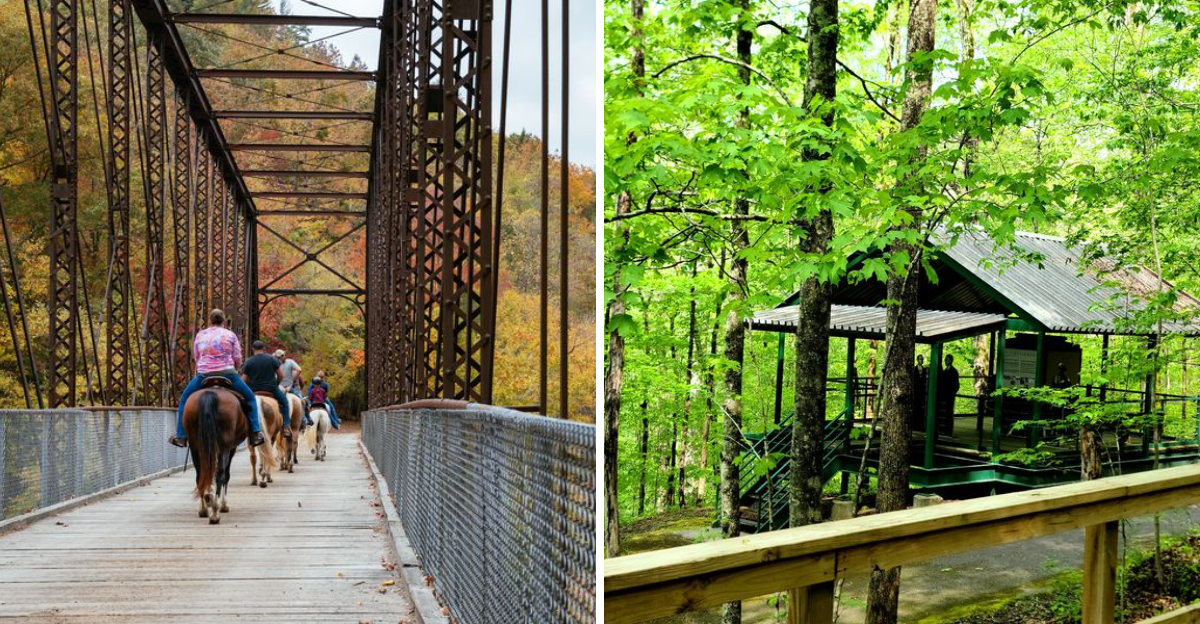
The trail may look peaceful, but summer brings one tiny visitor that hikers should never ignore.
This remote Tennessee wilderness stretches through deep forests, rocky gorges, river valleys, and miles of rugged backcountry. It feels wild in the best possible sense.
Trails lead past sandstone cliffs, quiet creeks, natural arches, and overlooks that make every uphill climb worth the effort.
Warm weather also brings ticks into grassy areas, wooded paths, and thick vegetation. Most hikers will never notice them right away, which makes preparation especially important.
Long clothing, insect repellent, and a careful check after the hike can prevent an unpleasant surprise later.
That warning should not keep anyone away. The scenery is far too impressive to miss.
It simply means arriving prepared, staying alert, and respecting the wildlife that shares the landscape. Tennessee adventures can be unforgettable, but the smartest hikers always check more than the trail map.
A Wilderness Defined By Geological Grandeur
Standing at the rim of one of the Cumberland Plateau’s deeper gorges, the scale of this landscape stops you cold.
Big South Fork National River and Recreation Area covers approximately 125,000 acres, stretching across parts of Tennessee and Kentucky.
The plateau rises nearly 1,000 feet above the surrounding terrain, and the visual contrast is immediate.
Dramatic sandstone cliffs frame the river below, while the forest above runs thick and unbroken.
This region holds one of the highest concentrations of natural arches found anywhere in the eastern United States, alongside rock shelters, waterfalls, and unusual geological formations called rock chimneys.
The geology here spans the Pennsylvanian and Mississippian periods, meaning these rocks are hundreds of millions of years old.
Arriving via Tennessee Highway 297 from Oneida offers a preview of the plateau’s open ridgelines before the road plunges into the gorge below.
Few landscapes in the eastern United States offer this kind of raw, unfiltered geological storytelling in a single sweeping view.
Twin Arches And Other Remarkable Rock Formations
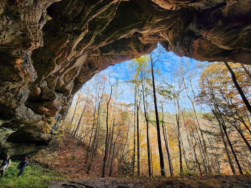
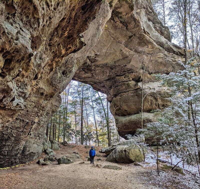
Among all the geological highlights in this park, the Twin Arches hold a particular authority. These are not small curiosities.
The South Arch spans 135 feet, while the North Arch reaches 61 feet in height, making them among the largest natural land bridges in all of North America.
Reaching them requires a short hike of about 1.2 miles on the Twin Arches Upper Loop, rated easy to moderate.
The trail descends through a hardwood forest before opening up to reveal the arches in stages, which makes the reveal feel genuinely earned.
Other notable formations across the park include Needle Arch, Split Bow Arch, and a series of sandstone overhangs used as rock shelters long before any modern trail system existed.
Each formation has its own character, shaped by centuries of water cutting through sedimentary layers.
Yahoo Falls, the tallest waterfall in Kentucky, also falls within the park’s boundaries on its northern end. Photographers and geology enthusiasts tend to plan entire trips around these features alone.
The formations reward slow, attentive exploration rather than a rushed walk-through, and every angle offers a different perspective on how water and time reshape stone.
The main access point sits at 4564 Leatherwood Rd, Oneida, TN 37841, and the park can be reached by calling 423-286-7275.
Over 450 Miles Of Trails For Every Skill Level
Four hundred and fifty miles of natural trails is not a number you absorb quickly. For context, that is enough trail distance to walk from Nashville to Washington, D.C.
The variety here is equally impressive. Short, accessible loops like the Oscar Blevins Farm Loop at 3.7 miles sit alongside demanding backcountry routes that require overnight permits and solid navigation skills.
The Honey Creek Loop, at 5.7 miles, earns consistent praise for its combination of waterfalls, rock formations, and river crossings. It challenges hikers without being punishing, though wet conditions can make certain sections slippery and slow.
The John Litton Farm Loop and John Muir Trail offer longer multi-day options for those seeking deeper immersion into the backcountry.
Beyond foot travel, the park maintains 300 miles of mountain bike trails and 212 miles of equestrian trails. This makes Big South Fork one of the most diverse multi-use recreation areas in the entire National Park System.
Trail signage is generally solid, though a paper map from the Bandy Creek Visitor Center remains useful since cell coverage drops off in several sections, particularly on the Kentucky side of the park.
The Free-Flowing River At The Heart Of It All
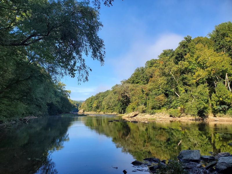
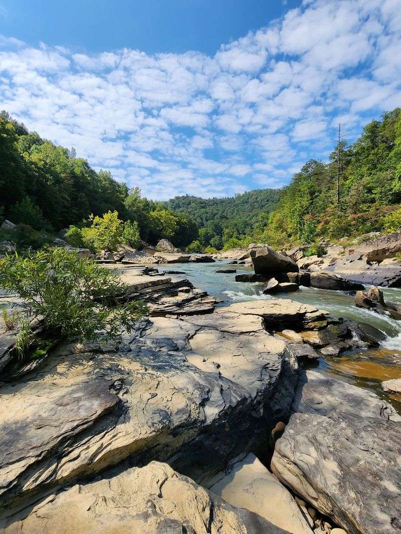
Rivers shaped by dams have a certain stillness to them. The Big South Fork of the Cumberland River is not that kind of river.
It runs free through a 250-million-year-old gorge, making it one of only a small number of undammed rivers remaining in the eastern United States. That distinction matters, both ecologically and experientially.
The river shifts character depending on where you encounter it. Near Leatherwood Ford, the water moves calmly enough for swimming, though submerged rocks and unpredictable depth changes call for caution.
Further upstream, whitewater stretches offer paddling challenges that range from manageable to genuinely technical. River levels in summer can reduce whitewater intensity, but the scenery along any float remains impressive.
Fishing draws a dedicated following here. The park’s 138 miles of streams support 79 species of fish, including smallmouth bass, muskellunge, and various species of native darter.
Clear Fork and New River add additional paddling routes to the network. The Gentlemen’s Swimming Hole offers another calmer option for those who prefer still water.
For a more structured swim, the Bandy Creek Pool provides a developed facility with clearer safety conditions than open river access points.
Tick Awareness Is Non-Negotiable In Summer
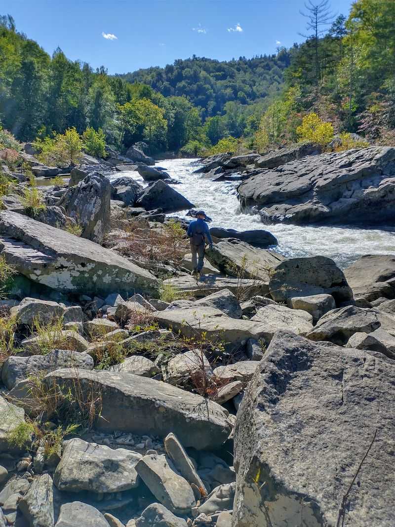
Ticks are small, patient, and genuinely dangerous. At Big South Fork, they are most active from May through July, which overlaps precisely with the park’s busiest hiking season.
Knowing that they exist in the area is the first step, but understanding how they operate is more useful.
Tennessee hosts several tick species capable of transmitting serious illness. The black-legged tick, also called the deer tick, can carry Lyme disease, but only if attached for longer than 24 hours, which is why prompt removal matters so much.
The American Dog tick, Brown Dog tick, and Gulf Coast tick are all associated with Rocky Mountain spotted fever, a disease for which Tennessee reports some of the highest case counts in the country.
Ehrlichiosis is another tick-borne concern in this region.
Alpha-gal syndrome, a red meat allergy triggered by the lone star tick’s bite, has also been documented in this part of the southeastern United States. Symptoms across these illnesses can include fever, headache, fatigue, and distinctive rashes.
If any of these symptoms appear in the days following a tick bite, seeking medical attention quickly is the right call. Awareness, not fear, is the appropriate response to this particular wilderness hazard.
Practical Protection Strategies Before You Hit The Trail
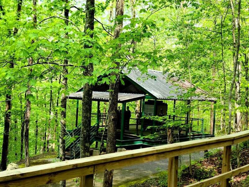
Preparation takes about ten minutes and can save weeks of medical recovery.
Before stepping onto any trail at Big South Fork during summer, applying an EPA-registered insect repellent containing DEET, picaridin, or IR3535 to all exposed skin is a practical first line of defense.
These products are widely available and proven effective against ticks.
Clothing choices also matter considerably. Light-colored long pants and long sleeves make ticks easier to spot before they attach.
Tucking pant legs into socks closes off one of the most common entry points ticks use when walking through tall grass or leaf litter. Treating clothing and gear with permethrin adds another layer of protection that persists through several wash cycles.
After returning from any hike, a full-body tick check should be standard practice, paying close attention to areas behind the knees, along the hairline, in the armpits, and behind the ears.
Showering within two hours of coming indoors helps remove any unattached ticks still moving across skin.
Running clothes through a dryer on high heat for at least ten minutes kills ticks that might be clinging to fabric. Checking pets and children is equally important, as ticks transfer easily between hosts in a camping environment.
The Blue Heron Mining Community And Historical Layers
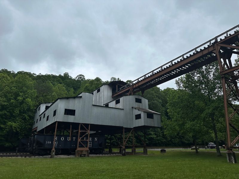
History at Big South Fork does not arrive in the form of plaques and glass cases. It greets you as ghost structures, open-air exhibits, and the quiet weight of a community that once depended entirely on coal.
The Blue Heron Mining Community, located on the Kentucky side of the park, operated as Mine 18 for the Stearns Coal and Lumber Company through much of the early twentieth century.
The site has been preserved and interpreted in a way that respects both the physical remnants and the human stories behind them. Metal framework outlines of original structures stand in place of the actual buildings, which no longer exist.
Audio recordings play accounts from former residents and workers, giving the site an unexpectedly personal quality. A railroad once connected this community to the outside world, and the old rail corridor remains part of the park’s interpretive experience.
National Park passport stamp collectors will find stamps available at the Blue Heron bookstore in addition to the Bandy Creek Visitor Center on the Tennessee side. The mining history of this plateau is not a footnote to the natural experience here.
It is woven into the landscape itself, visible in old road grades, cleared ridgelines, and the persistent evidence of industry that shaped this region for generations.
Charit Creek Lodge And The Rewards Of Going Remote
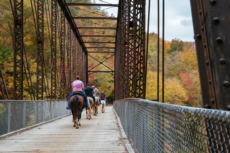
There are lodges, and then there are places that require genuine effort to reach. Charit Creek Lodge falls firmly in the second category.
Accessible only by foot, horseback, or mountain bike, it sits in a remote valley on the Tennessee side of the park and operates as one of the most distinctive overnight options in the entire National Park System.
No car access exists, which keeps the atmosphere refreshingly unhurried.
The lodge offers rustic accommodations in a setting that strips away the usual background noise of modern travel. Guests share communal dining spaces and sleep in cabins that feel appropriately simple without being uncomfortable.
The surrounding trails connect directly to the broader network, making it a practical base for multi-day backcountry exploration. The John Litton Farm Loop passes nearby, and the Twin Arches are within reasonable hiking distance.
Reaching Charit Creek Lodge by trail from the Leatherwood Ford area takes several hours depending on pace and route. Planning ahead is essential since the lodge requires advance reservations and operates seasonally.
Staying here offers a connection to the isolated character of the Cumberland Plateau that a day hike cannot fully replicate. The stillness at night, with no road noise and no artificial light, is something that stays with you long after you leave.