
This Once Quiet Maine Lake Has Suddenly Become Caught Up In Controversy
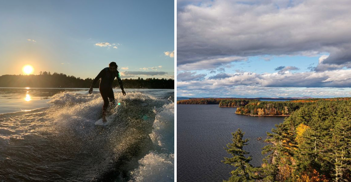
A quiet lake in Maine just got swept into a controversy nobody expected. Beneath its calm water sits a story bigger than any paddle or swim.
Glaciers carved this basin thousands of years ago, leaving depths that rival all of New England. Locals still trade tales about its ancient name and legendary size.
Then came a shoreline fight so serious it rewrote environmental law across the state. Officials battled for years, and the fallout shapes how Maine protects its waters.
Add ferry-only islands, cliff jumps, and ice-cold coves that outlast summer heat. Winter brings skiers and anglers who refuse to let the fun end.
The full story behind the drama and beauty is worth your time. Keep reading and let this remarkable spot earn a place on your travel list.
The Lake That Quietly Feeds A City
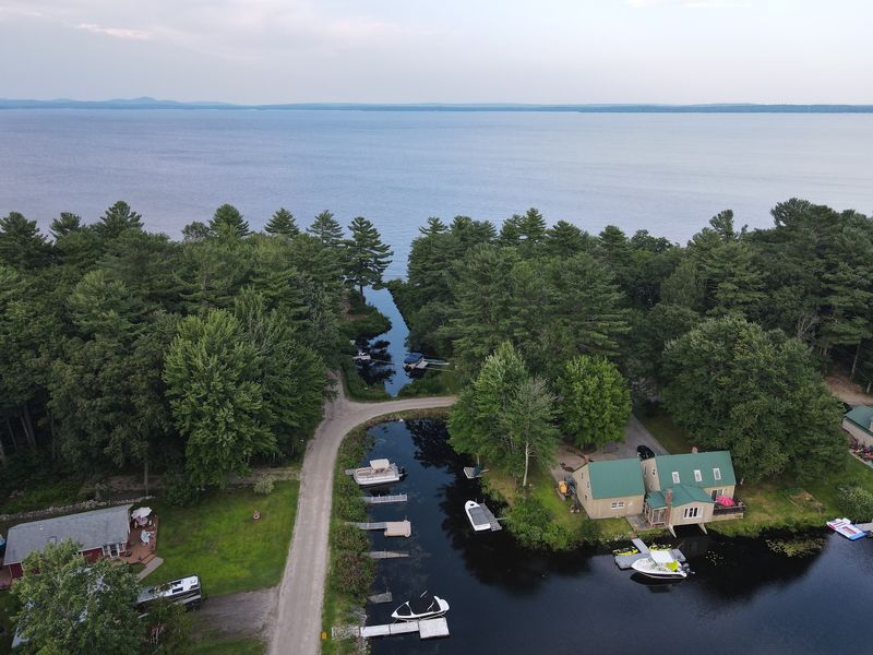
Most people visit a lake to swim or fish. Few stop to think about the fact that the water beneath their boat is also flowing out of someone’s tap.
Sebago Lake is the primary drinking water source for more than 200,000 residents across 11 towns in Maine. That represents roughly 15 to 16 percent of the entire state’s population.
The Portland Water District manages this supply. Its water quality is so exceptional that it holds an EPA filtration avoidance waiver, meaning the water skips the filtration stage before treatment.
That is a rare distinction and a testament to how clean the lake truly is.
The lake sits in Southern Maine within Cumberland County, bordered by towns including Raymond, Casco, Naples, Sebago, Standish, and Windham. Its watershed spans approximately 300,000 acres across 24 towns.
Forested land within that watershed acts as a natural filter. When trees and vegetation along the shoreline are removed, that filtration system breaks down fast.
That fact makes the recent controversy here far more serious than it might first appear.
The Shoreline Stripped Bare
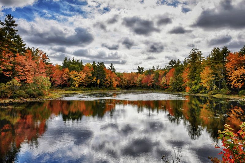
In the fall of 2021, something alarming happened along the shores of Sebago Lake near Raymond, Maine. Approximately 400 feet of natural trees and vegetation were stripped from the shoreline at two adjacent properties, 18 Fernwood Road and 28 Whitetail Lane.
What replaced those trees was riprap, large stones used for shore stabilization. The problem was that none of it was permitted.
Workers also removed numerous additional trees, moved more than ten cubic yards of earth, and added stairs, a boat launch, and a beach without authorization.
An excavator was used directly on land for shore stabilization work that should have been performed from a barge. Significant soil disturbance followed.
Without vegetation holding the soil in place, erosion set in quickly.
The natural buffer zone that had protected the lake’s water quality for decades was gone. In its place sat stone and bare earth, sitting directly at the water’s edge.
Town officials in Raymond did not mince words. They called the violations “egregious” and described them as unprecedented in scale for the area.
A Lake Born From Glaciers And Ancient Language
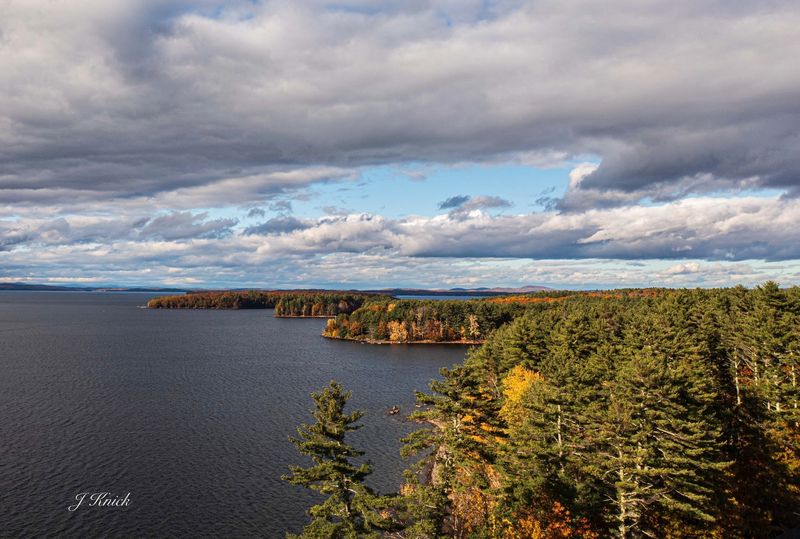
Long before any developer or contractor set foot on its shores, Sebago Lake was shaped by forces far more powerful. Glaciers carved out its basin more than 14,000 years ago as they slowly melted across what is now Maine.
The result is a lake of remarkable depth. Its deepest point reaches 316 feet, and its average depth sits at 107 feet.
That makes it the deepest lake located entirely within New England.
Its surface area covers roughly 50 square miles, and its shoreline stretches 105 miles. The name “Sebago” comes from an Abenaki word meaning “it resembles the sea,” a fitting description for a body of water this vast and powerful.
Frye Island, a seasonally occupied town, sits on an island within the lake itself. The lake’s sheer size means conditions can shift quickly.
Calm mornings can give way to choppy open-water swells that challenge even experienced boaters.
Understanding the lake’s scale helps explain why protecting every inch of its shoreline matters so much.
When “Egregious” Becomes An Understatement
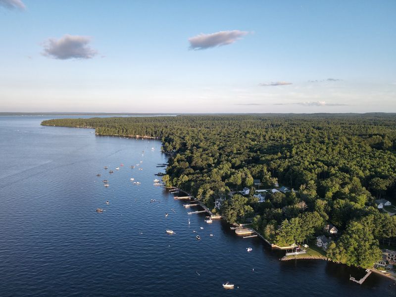
The scale of what happened at Sebago Lake’s Raymond shoreline shocked even seasoned environmental advocates. The executive director of a local environmental association stated publicly that it was one of the most serious violations in size and scope seen in twenty years.
That is not a minor complaint. Maine has dealt with countless shoreland zoning disputes over the decades.
For this one to stand out so dramatically says a great deal about how far the rules were pushed.
Town officials in Raymond used the word “egregious” more than once when describing the situation. It became the word that defined the controversy in local news coverage and public meetings.
The violations were not a matter of cutting a few branches too close to the water. Nearly the entire natural buffer zone across two properties was eliminated.
The scope of the earthmoving alone exceeded what most violations involve by a wide margin.
Maine’s shoreland zoning laws exist precisely to prevent this kind of damage. The fact that someone proceeded anyway, at this scale, made the fallout inevitable and significant.
Three Years Of Legal Battle
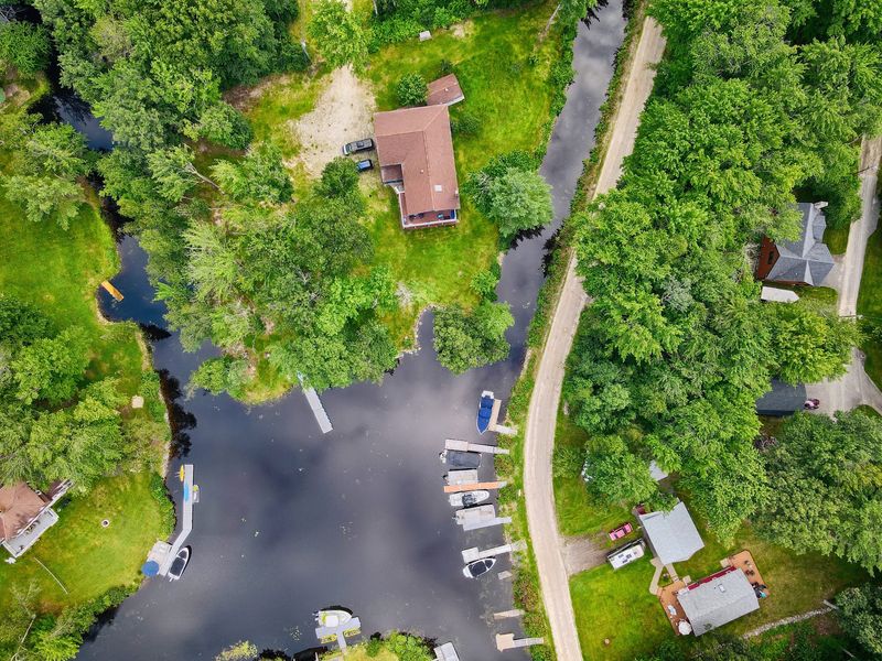
Raymond did not let this go quietly. The town pursued legal action for three full years to hold the responsible parties accountable.
That kind of sustained effort from a small municipality is not common, and it signals how seriously local officials took the damage.
The case involved appeals and counter-moves that stretched the timeline considerably. Legal processes rarely move fast, especially when significant financial interests are involved.
A settlement was finally reached in March and April of 2024. The Maine Department of Environmental Protection approved the agreement.
The settlement required a substantial restoration plan for both affected properties.
Fines totaling $650,000 were levied against the developer and contractors involved. That figure is notable.
Environmental fines in Maine have historically been modest enough that some violators treated them as a manageable business expense.
This settlement sent a different message. The size of the penalty, combined with the mandatory restoration requirements, signaled that the era of treating shoreland violations as a minor cost of doing business might finally be ending in Maine.
Restoration That Took Years To Complete
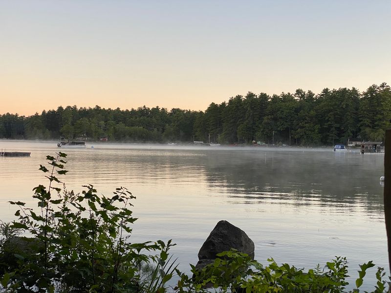
Paying a fine is one thing. Actually undoing the damage is another challenge entirely.
The settlement required far more than a check. It mandated a full restoration plan for the two properties at the center of the controversy.
Workers removed the improperly installed riprap that had replaced the natural vegetation. Native shrubs, trees, and other plants were brought in to rebuild the buffer zone that had been stripped away.
The restoration process was not quick. The work was completed by September 2025, nearly four years after the original violations took place in the fall of 2021.
Rebuilding what nature had spent decades establishing takes time, care, and significant investment.
Shoreline restoration is not simply cosmetic. Replanting native vegetation restores the natural filtration that keeps sediment and phosphorus from entering the lake.
Every root system rebuilt is a small victory for water quality.
The completion of this work marked a meaningful moment for Raymond and for Sebago Lake. The scars may take years to fully fade, but the process of healing the shoreline had finally begun in earnest.
New Laws Born From One Bad Decision
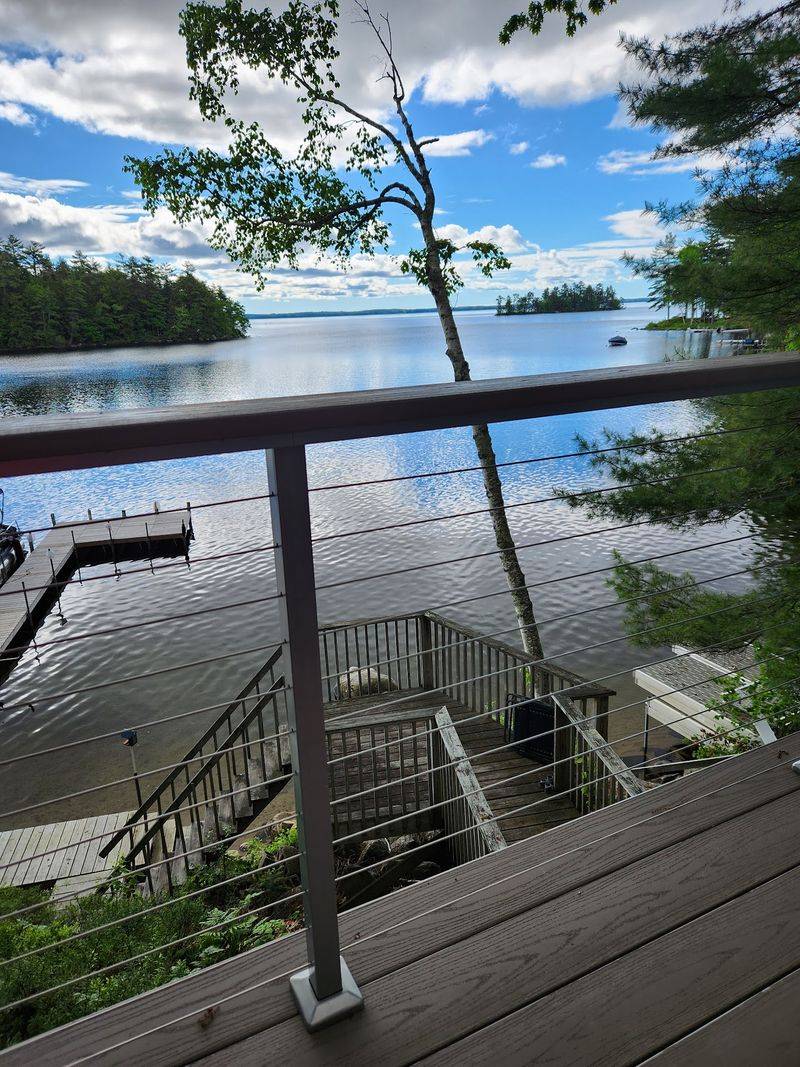
The Sebago Lake controversy did not just end with fines and replanted trees. It changed the law.
The serious nature of the violations directly led to new legislation in the state of Maine.
Those new laws give municipalities and state agencies greater authority to act quickly when violations occur. They allow for more immediate enforcement of shoreland zoning ordinances and the issuance of stop-work orders before damage spreads further.
The legislation also introduced steeper financial penalties for environmental violations. The intent is clear: make the cost of breaking these rules high enough that no one can justify treating them as a line item in a development budget.
For years, critics of Maine’s environmental enforcement system argued that the penalties were too small to deter serious violations. This case provided the evidence needed to push lawmakers toward meaningful reform.
The story of what happened at 18 Fernwood Road and 28 Whitetail Lane in Raymond is now embedded in Maine’s legislative history. One developer’s unauthorized bulldozing reshaped how the entire state handles shoreland protection going forward.
What The Lake Faces Beyond The Headlines
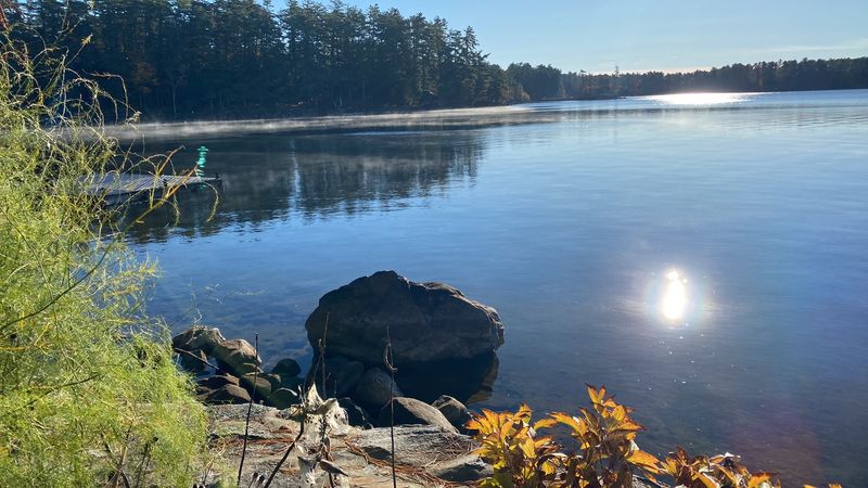
The zoning scandal grabbed headlines, but Sebago Lake carries other environmental concerns that rarely make the front page. Development pressure throughout the watershed continues to threaten water quality in quieter but equally damaging ways.
Climate change is reshaping the lake’s seasonal patterns. Ice forms later in winter and melts earlier in spring.
Extreme storms arrive more frequently and push higher levels of phosphorus and sediment into the water.
Erosion along the shoreline, worsened by high water levels and strong weather events, eats away at the sand buffers that naturally protect the lake. Each storm can undo months of natural recovery.
A type of cyanobacteria called Gloeotrichia has been observed in the lake. Its presence is linked to nutrient loading from the surrounding watershed.
Invasive Northern pike were also illegally introduced to the lake, raising serious concerns for native fish populations like landlocked salmon, lake trout, and bass.
These challenges do not erase what makes Sebago Lake special. But they do underscore why every shoreline decision, legal or otherwise, carries consequences that ripple far beyond any single property line.
Summer On The Water, Year-Round On The Trails
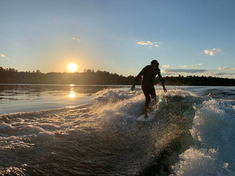
Beyond the controversy and the environmental debates, Sebago Lake remains one of Southern Maine’s most popular outdoor destinations. The range of activities available across all four seasons keeps visitors coming back year after year.
Summer draws swimmers, boaters, kayakers, and paddleboarders to the lake’s clear water. Fishing is productive throughout the warm months, with landlocked salmon, lake trout, and bass all found in the lake’s cold depths.
Tassel Top Beach in Raymond is a well-known local favorite. Sebago Lake State Park offers beaches, campgrounds, and boat launches that make it accessible to families without private waterfront access.
When winter arrives, the lake does not empty out. Ice fishing, Nordic skiing, and snowshoeing draw a dedicated crowd willing to trade swimsuits for base layers.
The lake’s frozen surface becomes a landscape all its own.
Hiking and bicycling routes around the lake’s perimeter offer a slower pace for those who prefer to take in the scenery on foot or by wheel. The lake rewards visitors who take their time with it.
Frye Island And The Hidden Side Of The Lake
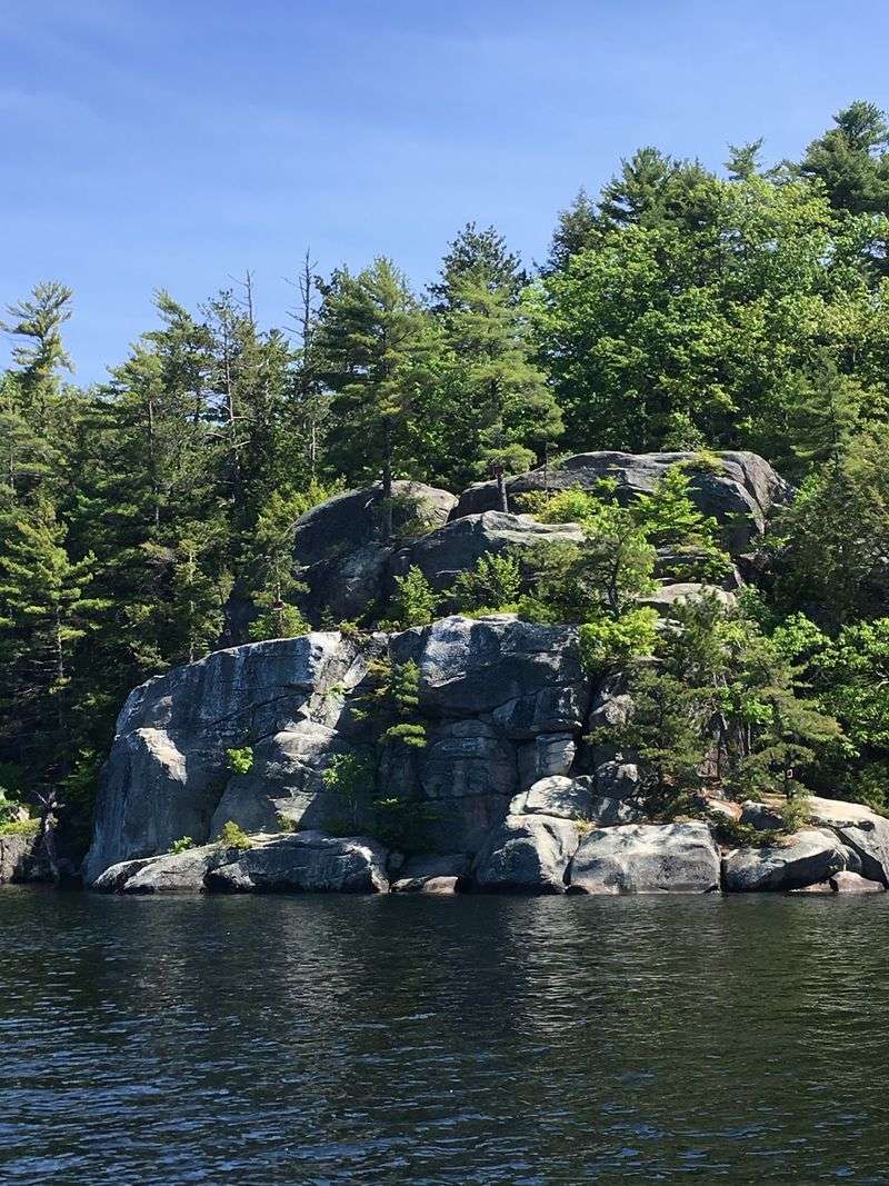
Most visitors to Sebago Lake never make it to Frye Island. That might be exactly why it retains such a distinct character.
The island is a seasonally occupied town located entirely within the lake, accessible only by ferry.
Life on Frye Island moves at a pace that the mainland shoreline rarely matches. Seasonal residents arrive in warmer months and the island quiets dramatically when the cold sets in.
The waters around the island are known for their clarity and depth. Cliff jumping from the island’s rocky outcroppings has been a rite of passage for generations of summer visitors.
The lake’s exceptional depth means the water stays cool even during peak summer heat.
The island represents the less-developed side of Sebago Lake. The northwestern shoreline of the lake more broadly tends to be less built-up than the eastern and southern shores, offering a quieter experience for those who seek it.
Getting to Frye Island requires a bit of planning, but that small barrier keeps it from feeling overrun. For those who make the trip, it offers a version of Sebago Lake that feels genuinely apart from the mainland bustle.
The Watershed That Holds It All Together
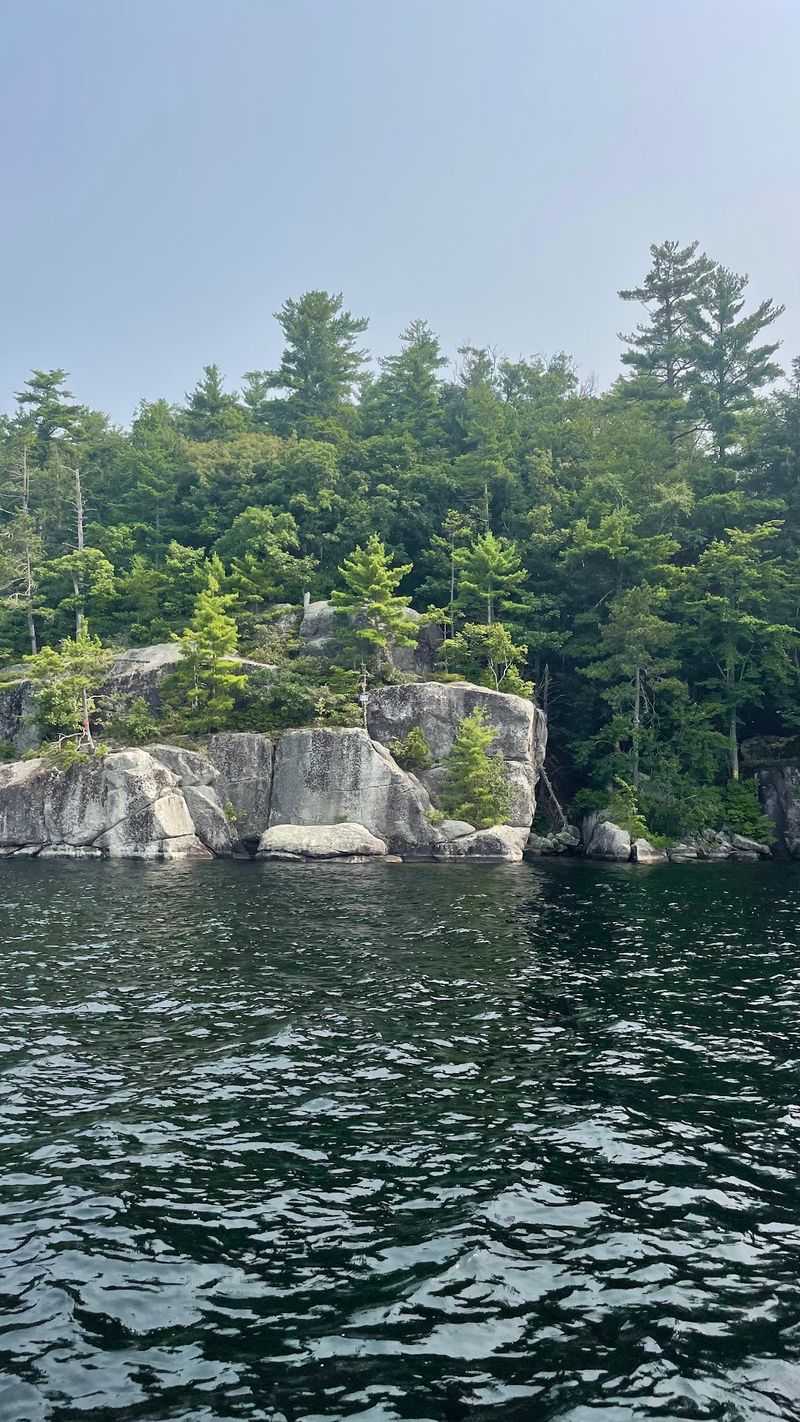
Protecting a lake is not just about what happens at the water’s edge. The health of Sebago Lake depends on what happens across a sprawling 300,000-acre watershed that stretches across 24 towns in Maine.
Forested land within that watershed acts as a giant natural sponge and filter. Trees absorb rainfall, slow runoff, and prevent sediment from reaching the lake.
Without that forest cover, water quality degrades faster than any treatment system can compensate.
The Portland Water District owns only a small portion of the watershed outright. Additional land is protected through conservation easements and partnerships with landowners who agree to limit development on their property.
That patchwork of protection is effective but fragile. Each new development within the watershed introduces the potential for more runoff, more impervious surfaces, and more pressure on the lake’s natural filtration system.
The shoreline violations in Raymond illustrated in stark terms what happens when that buffer is removed. The broader lesson applies across the entire watershed.
Every acre of protected forest is a direct investment in the water quality that over 200,000 Maine residents depend on daily.
Why This Lake Still Deserves Your Attention
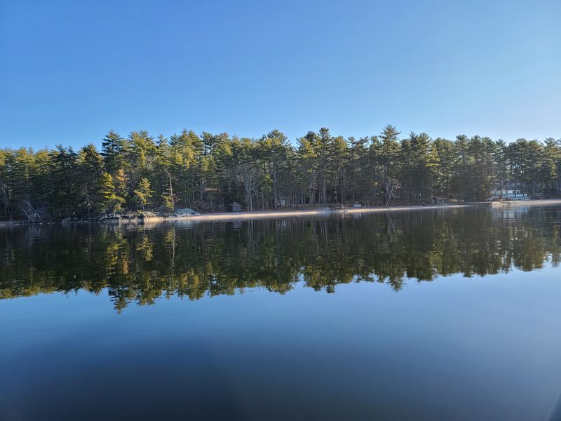
Controversy has a way of making people forget what drew them to a place in the first place. For Sebago Lake, the draw has always been the water itself, deep, cold, and remarkably clear by any measure.
The lake’s second-largest-in-Maine status is easy to rattle off as a statistic. Standing at the shoreline and looking out across 50 square miles of open water makes that number feel real in a way no fact sheet can replicate.
The controversy that erupted over the Raymond shoreline violations ultimately reinforced something important. People care deeply about this lake.
Town officials fought for three years to hold violators accountable. Environmentalists tracked every step of the restoration process.
Lawmakers rewrote the rules.
That level of collective investment in a single body of water speaks volumes about what Sebago Lake means to Maine. It is not just a recreation destination or a water supply.
It is a shared resource that communities have decided is worth protecting fiercely.
The story of what happened here is complicated and ongoing. But the lake itself, on a calm morning with mist rising off the water, remains as compelling as ever.