
13 Scenic Massachusetts Bike Trails Where Beginners Can Ride With Confidence
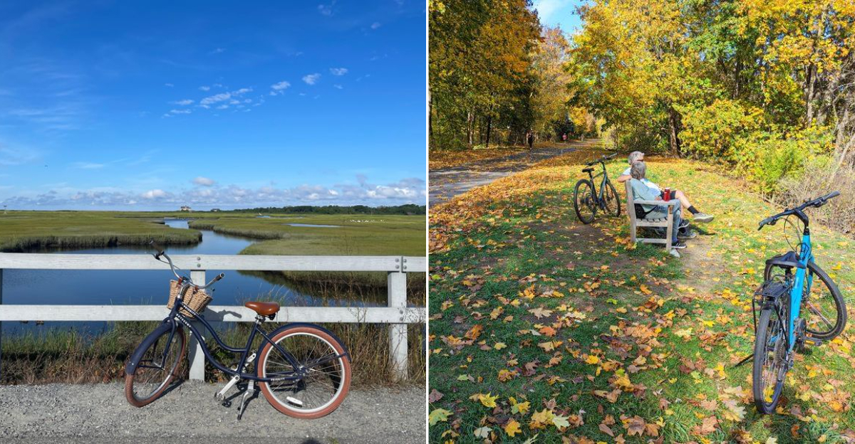
Ready to pedal somewhere beautiful without breaking a sweat? Massachusetts is packed with old railroad lines that were flattened out over a century ago and later turned into smooth paved paths.
That means no steep hills, no traffic, and no reason to feel nervous if you have not ridden a bike since middle school. You can roll past the Connecticut River, coast beside cranberry bogs, or glide over a bridge high above the water, all at your own speed.
Families love them, kids love them, and honestly, they’re perfect for anyone who simply wants an excuse to get outside. You don’t need fancy gear or strong legs, either.
A rented bike, a water bottle, and a couple of free hours are all you need.
Massachusetts makes it easy to enjoy a slow, happy ride filled with real scenery, local history, and plenty of spots to stop along the way. Pick a trail below, bring a friend, and give yourself something to smile about this weekend.
1. Norwottuck Rail Trail
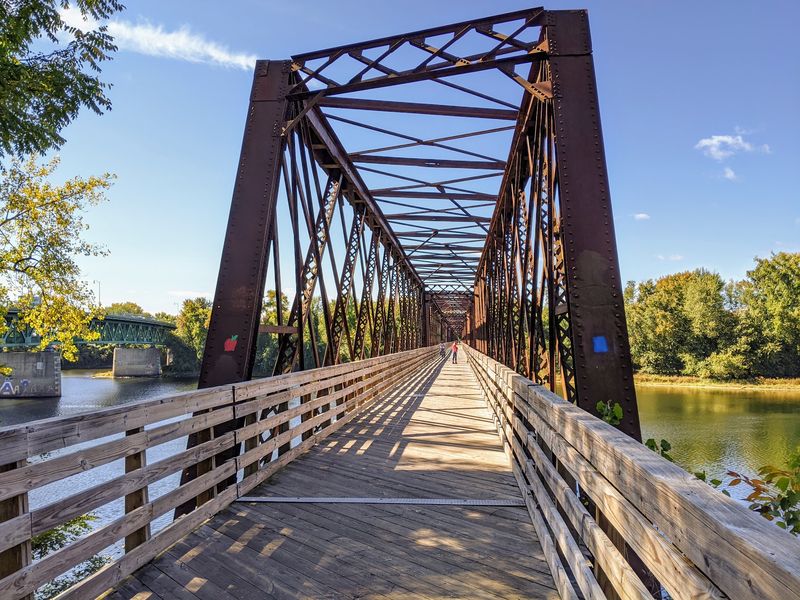
Picture yourself pedaling across an old railroad bridge with the wide Connecticut River flowing far below you. That is the moment everyone remembers on this 11-mile paved path through the Pioneer Valley.
The route links Northampton, Hadley, and Amherst, then stretches toward Belchertown. Because it follows a former rail line, the grade stays almost perfectly flat.
Beginners can relax and enjoy the view instead of fighting hills.
Wetlands, shady woods, and open farm fields take turns along the way. Slow down near the beaver pond toward the eastern end.
Ducks, songbirds, and turtles show up often, and kids get a real kick out of spotting them.
Hungry? The trail passes near Amherst College and the University of Massachusetts, so downtown Amherst is an easy detour for shops and a bite to eat.
Look Memorial Park is another favorite stop for families who want a picnic and a playground break.
Want to keep going? The path connects with the Northampton Bikeway and the Manhan Rail Trail, giving you miles of extra riding without touching a busy road.
Free parking makes the day simple. Try the Elwell Recreation Area in Northampton, Railroad Street in Hadley, Station Road in South Amherst, or Warren Wright Road in Belchertown.
The trail is open sunrise to sunset, and you will find it running between Northampton and Belchertown in western Massachusetts.
2. Manhan Rail Trail
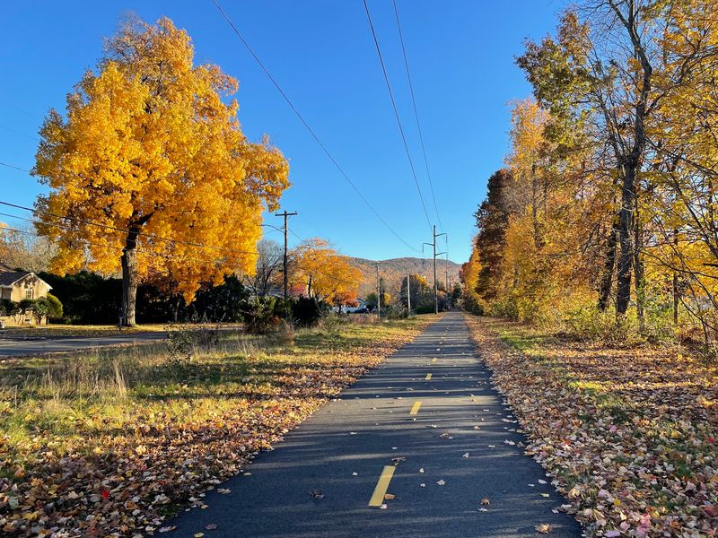
Mount Tom watches over this ride, and that view alone is worth the trip. The Manhan Rail Trail runs about six miles through Easthampton, with connections that let you ride much farther if your legs feel good.
Smooth pavement and a mostly flat surface make it friendly for first-timers. Walkers, skaters, and even horseback riders share parts of the route, so keep an eye out and give a friendly wave.
One of the best sights is the Connecticut River Oxbow, a horseshoe-shaped bend in the river. Nearby, the Arcadia Wildlife Sanctuary and the Old Pascommuck Conservation Area invite you to park the bike and wander for a while.
History pops up in unexpected places. Look for markers along the path and a colorful mural showing local life and the old railroad days.
Converted mill buildings remind you this was once a busy factory town.
Downtown Easthampton sits right beside the trail, packed with small shops and places to grab lunch. Nashawannuck Pond is a lovely spot to sit and rest your feet.
The trail links north to the Northampton Bikeway and Norwottuck Rail Trail. Park at the Easthampton Public Safety Complex at 32 Payson Avenue, or at Millside Park off Ferry Street in Easthampton, Massachusetts.
Restrooms are available year-round at the Payson Avenue lot.
3. Canalside Rail Trail
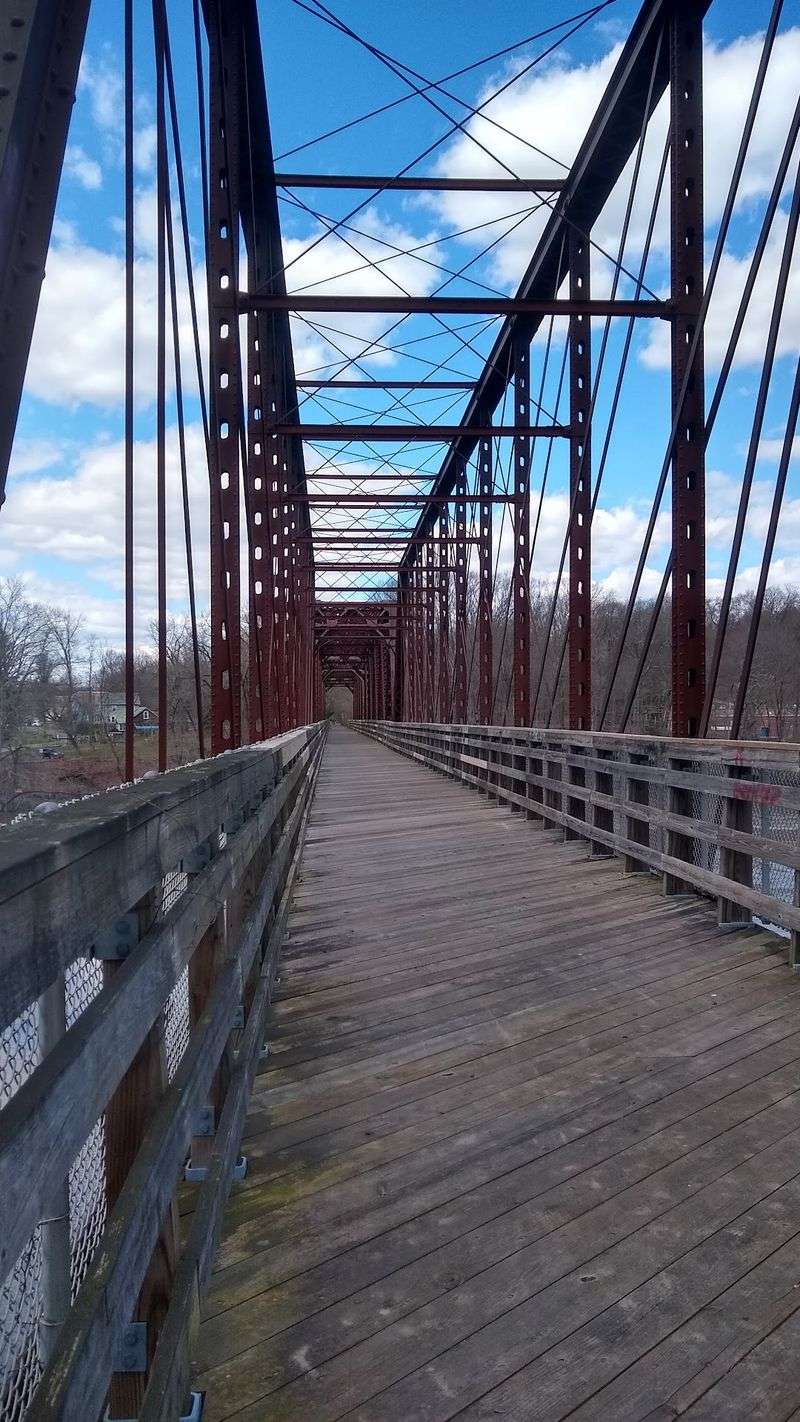
Ever crossed a river on a metal truss bridge with no cars anywhere in sight? On the Canalside Rail Trail you get exactly that, and one span of the bridge dates all the way back to 1880.
Nearly four miles of paved path curve through the village of Turners Falls. Grades are gentle, the surface is smooth, and strollers roll along just fine.
First-time riders often finish the loop grinning.
Water is the star here. You will see the Connecticut River Reservoir, the big Turners Falls Dam, and long stretches of the old canal running beside you.
Waterbirds hang around in good numbers, so bring a camera.
Stop at the Great Falls Discovery Center to learn about the area’s rivers, wildlife, and industry. The Turners Falls Fishway, with its fish ladders, is another oddly fascinating sight.
Families love Unity Park, where a playground, picnic tables, a skate park, and a basketball court keep everyone busy. Older brick mill buildings along the route hint at the town’s factory past.
When your stomach starts talking, downtown Turners Falls has shops and small eateries a short walk away. Nearby Barton Cove offers seasonal camping and kayak rentals.
Park at Unity Park or McClelland Farm Road. The trailhead address is 2 Avenue A, Turners Falls, MA 01376, open sunrise to sunset.
4. Ashuwillticook Rail Trail
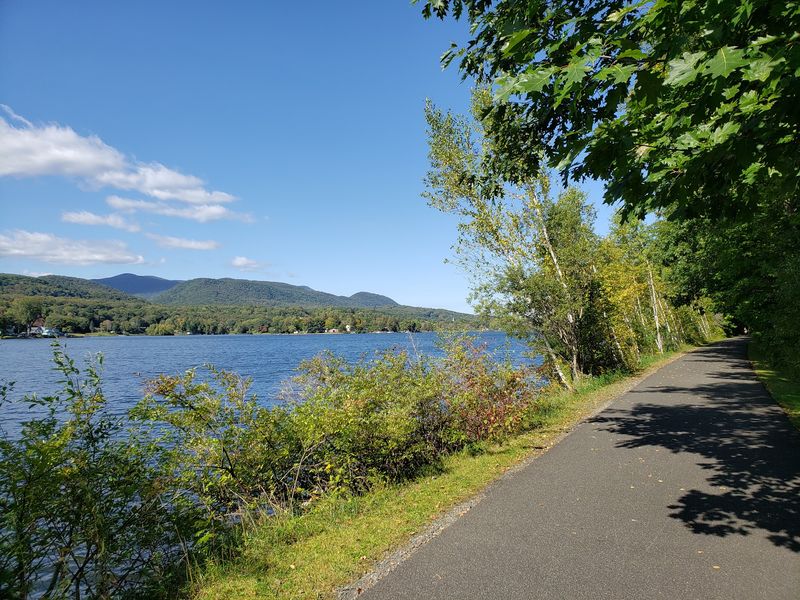
The name is a mouthful, but it means something lovely: the pleasant river between the hills. Once you see the Berkshires rising on both sides of this trail, the name makes total sense.
About 14 miles of wide, well-kept pavement roll through the Hoosic River Valley in western Massachusetts. At ten feet across, there is plenty of room for bikes, walkers, and wheelchairs.
The flat grade keeps things easy the whole way.
Mount Greylock and the Hoosac Mountains fill the horizon. Cheshire Reservoir and Berkshire Pond shine on sunny days, and the Hoosic River keeps you company for long stretches.
Wildlife lovers, get ready. Ospreys, herons, ducks, geese, eagles, and turtles all make appearances.
In October the whole valley turns gold and red, and honestly, that is the best week to come.
The route passes through Pittsfield, Lanesborough, Cheshire, and Adams. Downtown Adams has a restored main street with shops and restaurants plus old mill buildings worth a second look.
In Cheshire, an old railroad station now houses a trailside business, and the famous Appalachian Trail crosses right here.
Park at the Adams Visitor Center, Russell Field on Harmony Street in Adams, Railroad Street or Farnams Road in Cheshire, or Crane Avenue in Pittsfield. Seasonal restrooms are available at some stops.
5. Northampton Bikeway
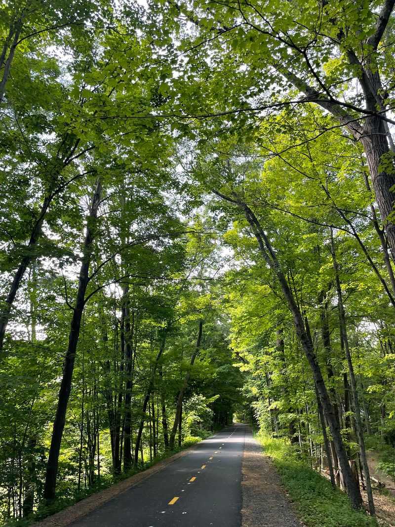
Fresh pavement feels amazing under your tires, and this bikeway was recently resurfaced. If you are shaky on a bike, that smoothness makes a real difference.
The core section runs roughly 2.5 to 5.4 miles inside Northampton. Its real strength is how it links up with other trails, opening the door to a huge network without much road riding.
Flat terrain and ADA-friendly design mean riders of nearly any age or ability can join in. Bring the grandparents.
Bring the kids on training wheels.
The northern mile overlooks the Mill River, which is quieter and prettier than you might expect so close to town. Old stone arch bridges show up along the way and make excellent photo stops.
Along the route you will pass through the Leeds and Florence Center neighborhoods and connect the King Street shopping area with downtown Northampton. Downtown is loaded with cafes, bookshops, and places to refuel.
Barrett Street Marsh and Look Park are two easy detours.
Ride farther if you want. The Manhan Rail Trail heads toward Easthampton and Holyoke, while the Norwottuck Rail Trail heads east to Hadley and Amherst.
Both are part of bigger greenway projects across Massachusetts.
Use the park-and-ride lot at 298 State St, Northampton, MA 01060, or the lot at King and Church Streets.
6. Connecticut River Walk And Bikeway
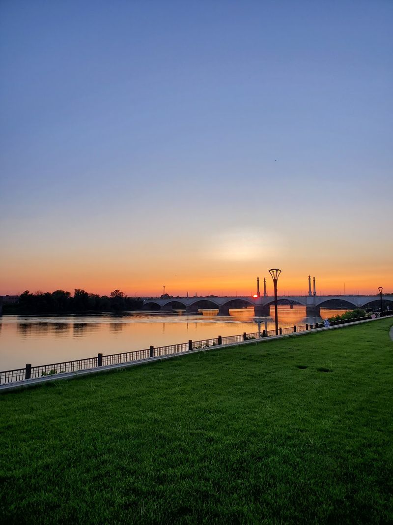
Trains rumble by on one side. The largest river in New England flows on the other.
This Springfield path is a rail-with-trail, and that combination makes for a genuinely fun 3.7 miles.
The surface is wide, paved, and easy, so beginners, joggers, and skaters all share it comfortably. Riders using wheelchairs will find it welcoming too.
Views keep changing as you pedal. You get the Connecticut River, the Springfield skyline, and the graceful Memorial Bridge all in one outing.
Old industrial buildings add a gritty, interesting backdrop.
Basketball fans, listen up. A tall pedestrian footbridge connects the bikeway directly to the Naismith Memorial Basketball Hall of Fame.
Very few bike paths deliver a stop like that.
Benches sit at good intervals, and using them is half the point. Sit, breathe, watch the water move, then keep going.
Riverfront Park is another nice place to stretch out.
The larger river walk system reaches into Agawam, West Springfield, Holyoke, and Chicopee, so there is always more to explore in this corner of Massachusetts.
Parking options include North Riverfront Park at 121 West Street and the Hall of Fame lot at 1000 Hall of Fame Avenue. In West Springfield, try Tom’s Launch at 757 Riverdale Street.
The main trail sits at Connecticut Riverwalk and Bikeway, Springfield, MA 01105.
7. Columbia Greenway Rail Trail
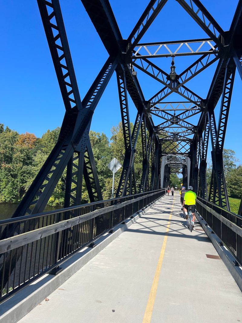
Here is something unusual: for part of this ride, you are up in the air. The Columbia Greenway is one of very few urban rail trails in the country that carries you above city streets on old railroad bridges.
About 3.1 miles of smooth pavement wind through Westfield. Grades stay gentle, which keeps the whole thing beginner-friendly even with those elevated sections.
Looking down at traffic while you coast along is a strange thrill. From up there you can see downtown rooftops and farmland spreading out beyond the city.
The path crosses over streets, farm fields, and the Little River. A crossing known as the Tin Bridge is a local favorite.
Historical markers explain the story behind the Columbia Manufacturing Company, which once built bicycles right here in Massachusetts.
Where can you go from the trail? Westfield State University, huge Stanley Park, and downtown shops and restaurants are all within easy reach.
The rehabilitated Elm Street Bridge is another notable landmark.
Long-distance riders can continue onto the Southwick Rail Trail and cross into Connecticut on the Farmington Canal Heritage Trail. Someday the whole system will stretch more than 80 miles.
Park behind Shaker Farms Country Club at 866 Shaker Road, or use the Depot Square Lot off Pochassic Street in Westfield, MA 01085, where three hours are free.
8. Shining Sea Bikeway
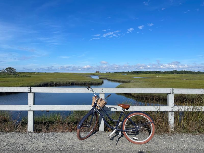
The name comes from a song you already know. Katharine Lee Bates, who wrote America the Beautiful, grew up in Falmouth, and her line about the shining sea gave this bikeway its title.
Nearly eleven miles of pavement run from North Falmouth down to Woods Hole. Better yet, this is the only Cape Cod path that hugs the ocean directly.
Flat ground and gentle grades make it a favorite for families and nervous first-time riders. Wheelchairs roll easily too.
Scenery changes constantly. Salt marshes, barrier beaches, working cranberry bogs, shady woods, and ponds like Oyster Pond and Salt Pond all appear along the way, with Vineyard Sound sparkling nearby.
Bring binoculars if you have them. Egrets, Great Blue Herons, and ospreys are common, and foxes, deer, and turtles turn up too.
Four Falmouth villages sit along the route. Nobska Light in Woods Hole rewards you with wide open views.
Chapoquoit Beach is perfect for a quick swim, and Goodwill Park has a playground plus a beach at Grews Pond.
Park at 13 Depot Road or 81 Depot Avenue in Falmouth, 23 Old Dock Road in West Falmouth, or on County Road in North Falmouth, Massachusetts. A bike repair station with an air pump waits at the Depot Avenue trailhead.
9. Cape Cod Rail Trail
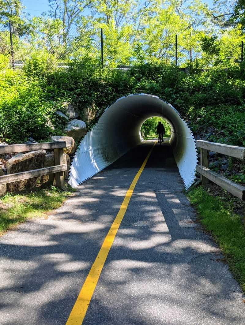
Seven towns, one trail, and enough ice cream stops to make the whole family cooperate. The Cape Cod Rail Trail runs roughly 25 to 27 miles through Yarmouth, Dennis, Harwich, Brewster, Orleans, Eastham, and Wellfleet.
Pavement is eight to ten feet wide with mellow grades, so beginners rarely struggle. Rental shops along the way even offer hand-cycles, and the trail welcomes wheelchairs.
The landscape is pure Cape Cod: salt marshes, pine woods that smell wonderful on warm days, cranberry bogs, and clear kettle ponds. Autumn brings a color show that rivals anywhere else in Massachusetts.
Nickerson State Park in Brewster covers 1,900 acres and has swimmable kettle ponds, campsites, and hiking paths. The converted Bass River Bridge gives you another lovely water crossing.
History fans should stop at the Salt Pond Visitor Center in Eastham, the gateway to Cape Cod National Seashore, with exhibits, restrooms, and a spur trail to Coast Guard Beach. The Marconi Area marks where the first transatlantic radio transmitter was built.
Downtown Orleans has shops and restaurants, and small places like the Pleasant Lake General Store are made for a snack break. The Old Colony Rail Trail adds eight more miles toward Chatham.
Free parking is available at trailheads in South Dennis, Harwich, Brewster, Orleans, Eastham, and Wellfleet, Massachusetts.
10. Minuteman Commuter Bikeway
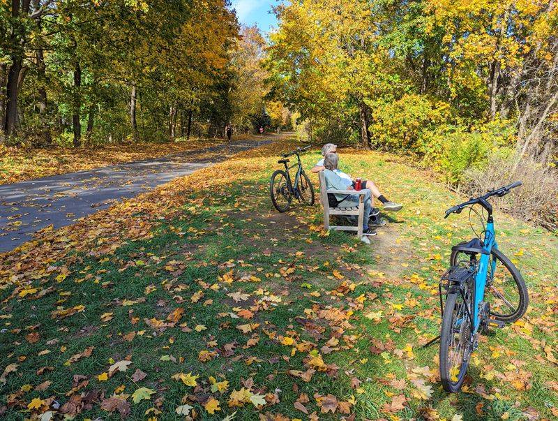
You are literally riding through the start of the American Revolution. This 10-mile paved bikeway roughly traces Paul Revere’s famous 1775 midnight ride, connecting Bedford, Lexington, Arlington, and Cambridge.
The surface is wide and smooth with mostly flat, gently rolling terrain. Street crossings are built with accessibility in mind, so all kinds of riders can join.
Woods, quiet neighborhoods, and busy village centers alternate as you pedal. It never gets boring, and there is always somewhere to stop.
Spy Pond in Arlington has picnic spots and a play area, ideal when small legs need a rest. In Lexington you can visit the Visitor Center with public restrooms, the Battle Green with its Minuteman Statue, and Buckman Tavern, where the militia gathered before the fighting began.
Great Meadows, Tower Park, and Munroe Tavern add more Revolutionary stories. At the Bedford end, Depot Park displays a vintage train depot and a restored passenger rail car that kids climb all over.
Getting here without a car is simple. The Alewife MBTA Station in Cambridge sits right on the path with Red Line and bus service.
From Bedford you can continue on the Reformatory Branch and Narrow Gauge trails.
Park at Depot Park on South Road in Bedford, Massachusetts, or at Alewife Station. This one even gets plowed in winter.
11. Bruce Freeman Rail Trail
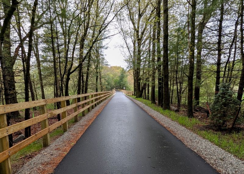
How many bike paths let you go swimming halfway through? On the Bruce Freeman Rail Trail, both Heart Pond in Chelmsford and NARA Park in Acton have public swimming areas waiting for hot riders.
Around 20 miles are open now, with plans to reach nearly 25 and eventually link Lowell to Framingham. The asphalt runs ten feet wide with a packed shoulder, which feels roomy and safe.
Flat grades and easy curves suit beginners, joggers, skaters, strollers, and wheelchairs alike. You can ride two miles or twenty and call it a good day.
Woods, wetlands, open fields, and ball fields trade places along the route. Ice House Pond in Acton is another calm spot to stop and just look at the water for a minute.
NARA Park sweetens the deal with a playground, picnic tables, and an amphitheater that hosts outdoor shows. Art installations pop up trailside and always spark conversation.
The path links Lowell, Chelmsford, Westford, Carlisle, Acton, Concord, and Sudbury, with downtown shops and restaurants close by in several towns.
Authorized parking includes the Stop and Shop lot at 299 Chelmsford Street in Chelmsford and NARA Park at 25 Ledge Rock Way in Acton, Massachusetts. Bike shops sit near the path if you need a tune-up or rental.
12. Assabet River Rail Trail
A bright blue caboose from 1921 sits right beside this trail near Hudson, and kids sprint toward it every single time. Little surprises like that make the Assabet River Rail Trail special.
The path parallels the Assabet River for long stretches, moving between wetlands, woods, and open ground. A trestle bridge standing 40 feet above the water gives you a memorable view straight down the river.
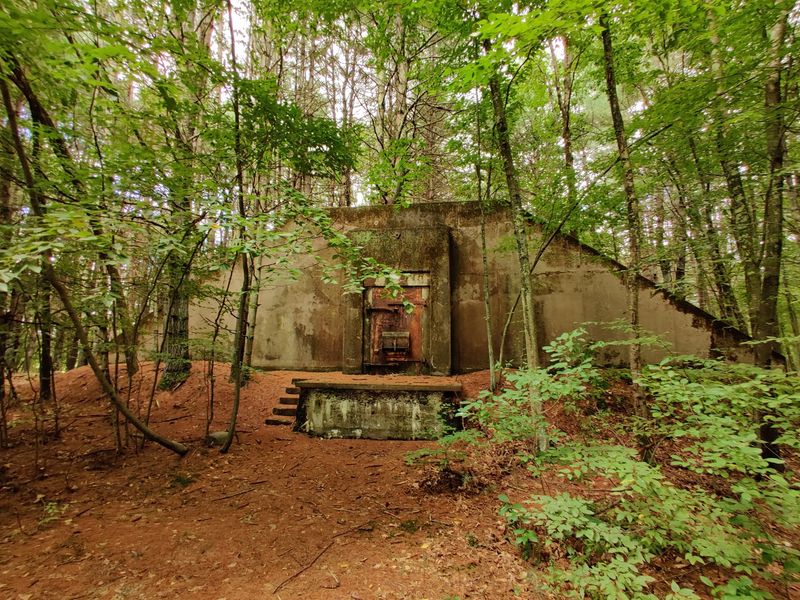
In Maynard you cross the river near restored 19th-century mill buildings that now hold offices and shops. The refuge itself covers 2,230 acres and hides old World War II ammunition bunkers and railbeds worth hunting for.
Herons, kingfishers, and beaver activity are common sightings. Downtown Maynard and Hudson both offer shops and restaurants for a well-earned break.
Parking is available on Maple Street in Acton, at Wilkins Street and 157 Washington Street in Hudson, at 56 Jefferson Street in Marlborough, and at Ice House Landing in Maynard, Massachusetts.
13. Blackstone River Greenway
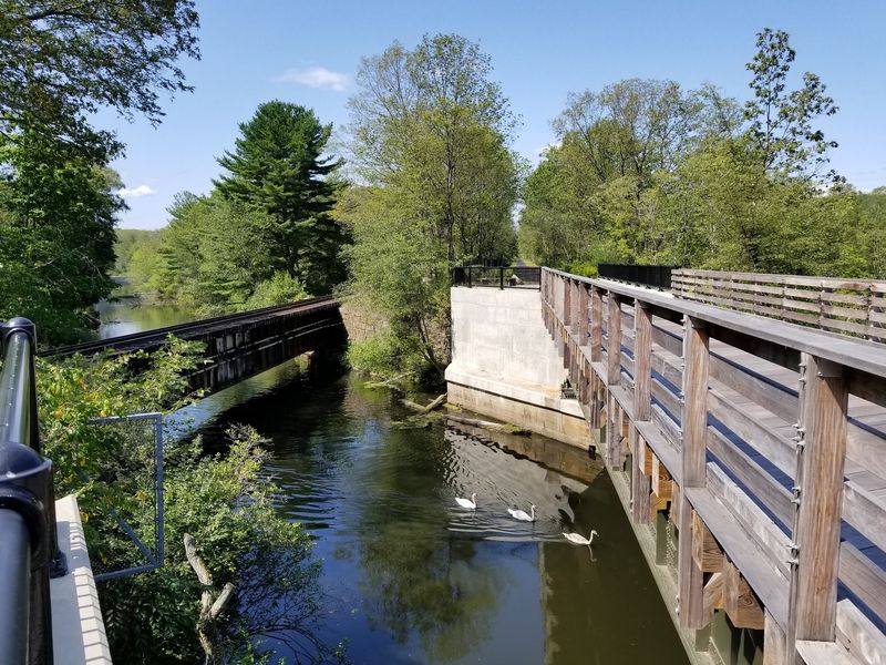
They call the Blackstone the hardest-working river in America, and one ride here shows you why. Old mills, canal locks, and worker housing line the route like an outdoor museum.
The full vision stretches around 48 miles from Worcester to Providence. For now, Massachusetts offers several finished paved segments, including 2.5 miles from South Worcester to Millbury and about four miles linking Uxbridge, Millville, and Blackstone.
The Uxbridge section is paved with no inclines at all for roughly four miles. That is about as beginner-friendly as riding gets.
You will follow the river and the historic Blackstone Canal, sometimes alongside an active freight railroad. Waterfalls, marshes, and quiet river views keep the scenery moving.
History stops include the Millville Lock, the restored Stanley Woolen Mill in Uxbridge, and the Triad Bridge, where three railroad bridges were once planned to cross at a single point. Interpretive signs explain it all in plain language.
Blackstone River and Canal Heritage State Park adds wooded corridors and a canal towpath. Birdwatching here is excellent, and picnic tables, fishing spots, and kayak launches give you reasons to linger.
Visit the River Bend Farm Visitor Center for maps and exhibits. Park at 1-99 Adams St, Uxbridge, MA 01569, and give yourself a slow, happy afternoon in Massachusetts.