
One Of Northern Nevada’s Best-Kept Secrets Awaits On This Waterfall Hike Near Carson City
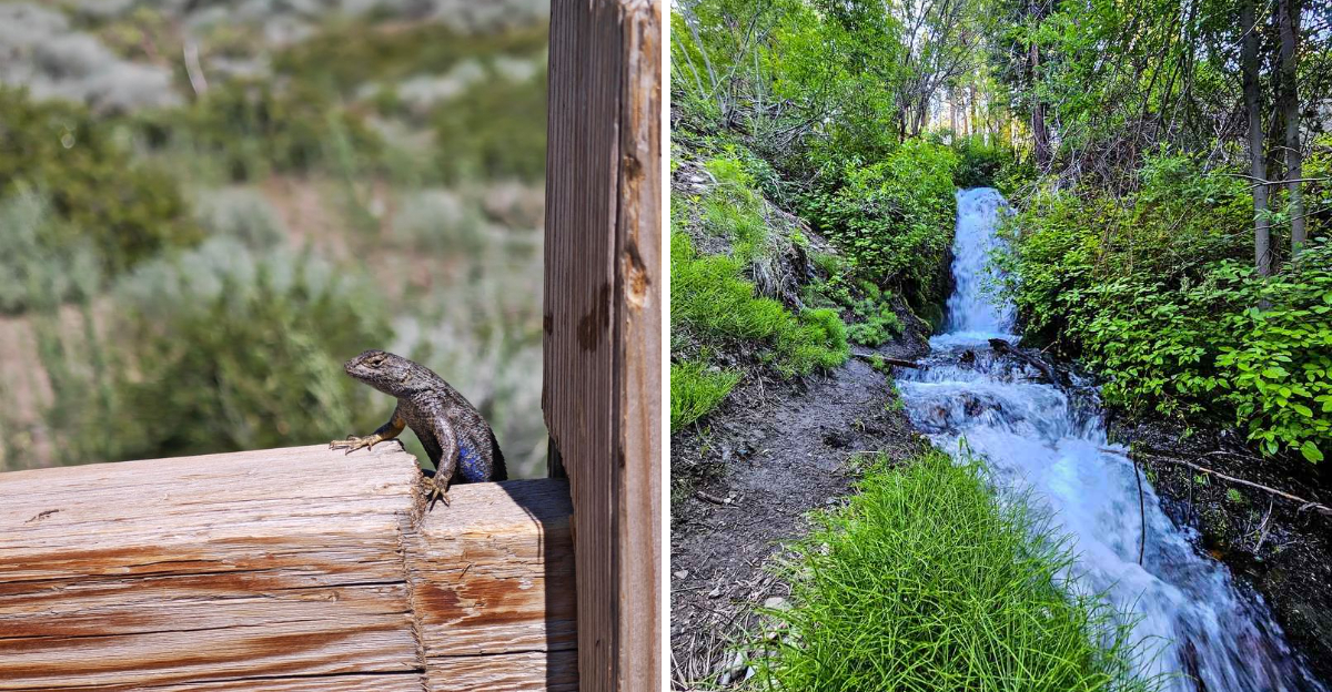
A hidden waterfall in the middle of the desert? Nevada rarely gives up a surprise this good.
Spring-fed water tumbles through a narrow slot of cool shade, cutting a green ribbon through dry, sunbaked hills.
Ferns and moss cling to wet stone just steps from sagebrush that could never survive the spray, and rushing water grows louder with every stride toward the canyon mouth. The temperature drop alone catches most visitors off guard.
A short climb delivers a payoff far bigger than the distance it takes to get there. Nevada rarely serves scenery this dramatic so close to a parking lot, and once that first blast of cool canyon air hits skin, the reason for all the hype becomes obvious fast.
Where The Desert Grows A Waterfall
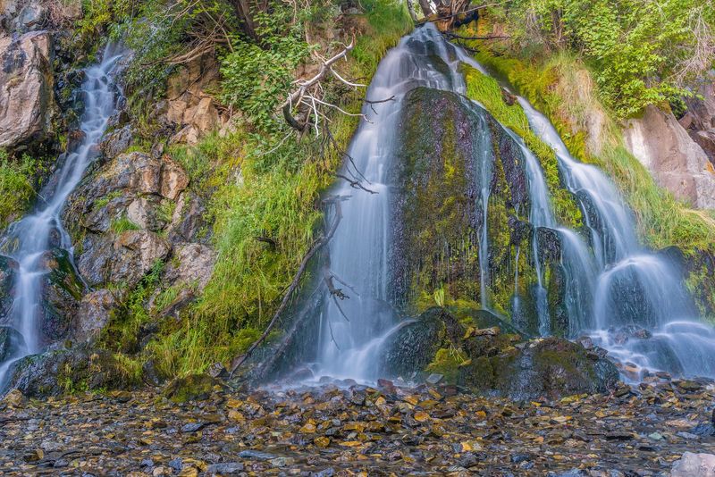
Nevada and waterfalls rarely share the same sentence. Kings Canyon Waterfalls quietly rewrites that idea.
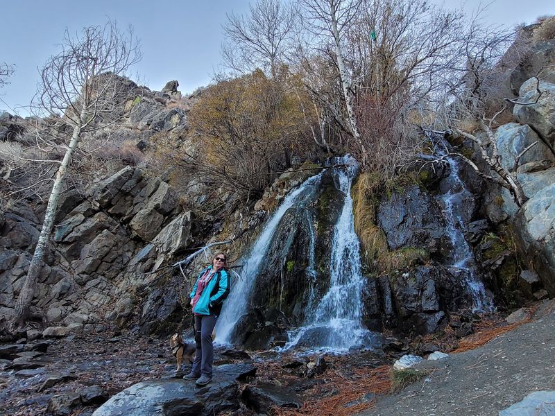
Spring-fed water tumbles over dark rock in a slot of shade, with the main cascade dropping somewhere in the neighborhood of 25 to 30 feet. Flow varies with the season, so the show can be thunderous or gentle.
The air near the base feels noticeably cooler than the parking lot. Visitors on hot summer days often mention the temperature drop as the best part of the trip.
Ferns, mosses, and green tangles cling to the wet stone. Just steps away, sagebrush and dry slopes take over again.
That contrast is the real charm here. Two landscapes meet within a few paces of each other.
The trailhead sits at the western end of Kings Canyon Rd, Carson City, NV 89703, right where the pavement gives up. Paved parking and restrooms make the start easy.
Water sounds carry up the canyon before the falls come into view. First-timers usually hear it and pick up the pace.
A little canyon, a big payoff, and almost no driving required.
The Short Trail That Wins Everyone Over
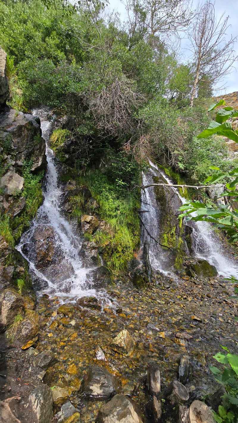
Fifteen minutes uphill. That is roughly what it takes to reach the lower cascade.
The main path from the Kings Canyon trailhead runs somewhere between a quarter mile and half a mile each way, depending on which map or hiker you ask. Reviewers commonly report a round trip of under a mile.
Grades stay steady rather than steep. Kids, grandparents, and anyone easing back into hiking usually manage it fine.
Footing is mostly packed dirt with a few rocky patches. Sneakers work, though trail shoes give better grip near the wet rocks.
Photo stops stretch the timeline. Many visitors budget thirty minutes and end up staying an hour.
A creek runs alongside parts of the route, adding background music the whole way. Cottonwoods and pines create pockets of shade.
Near the falls, some sections get slick. Careful steps matter more than speed.
Kings Canyon rewards small effort with an outsized view, which explains why the little trail stays busy on weekends.
Early mornings tend to feel emptiest and coolest.
Climbing Higher For The Upper Cascades
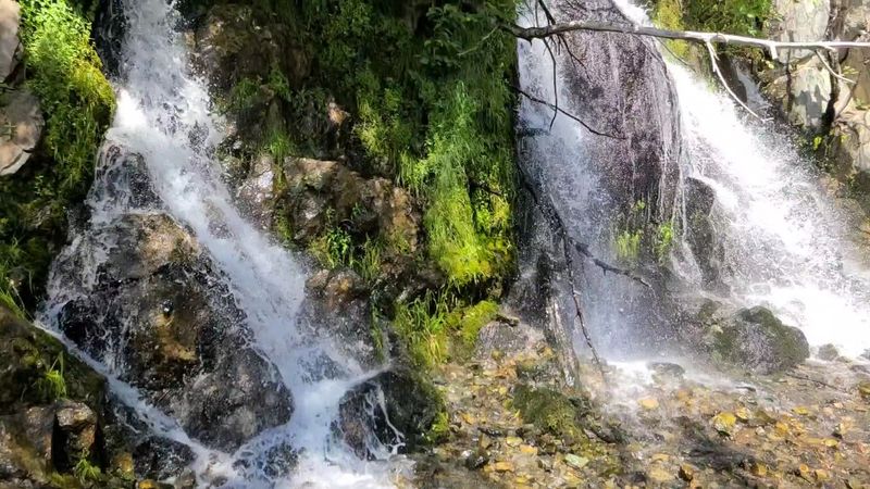
Hungry for more than a stroll? The upper waterfall loop answers.
Reported at roughly 4.4 miles, the longer route climbs well above the lower falls with a solid elevation gain. Expect a moderate workout rather than a casual amble.
Old dirt roads carry hikers upward before the path narrows into single track. The change in surface makes the higher stretches feel wilder.
Tree cover thickens with altitude, offering shade that the lower slopes lack. Pine needles soften the trail underfoot.
Additional hidden cascades appear along the creek. Some are small enough that hikers walk past without noticing.
A wooden footbridge crosses directly above an upper waterfall, one of the more memorable spots in Kings Canyon. Peering down from the planks is a small thrill.
Sun exposure hits hard in open sections, so a hat helps. Water bottles matter more here than on the short route.
Sections of trail run narrow with drop-offs on one side. Snow or ice makes those spots a poor choice for little legs.
Effort in, solitude out. That trade works nicely on this loop.
Wagon Roads, Toll Gates, And Old Timber Flumes
Long before hiking boots, wagon wheels ground up this canyon.
During the 1850s, portions of Kings Canyon Road served as the Lake Bigler Toll Road. By 1863 it carried the name Lake Tahoe Wagon Road.
Later the route became known as Ostermann’s Grade. Eventually a stretch fed into the famous Lincoln Highway.
Freight moved through here between Carson City and Lake Tahoe. Timber came down flumes built for the region’s booming demand for lumber.
Records also point to a resort and eatery operating in the canyon during its busier years. The Borda family ran a sheep operation on nearby land for decades.
Traces of that working past are subtle now. Old roadbeds and cut banks hint at heavy use.
Hikers who slow down notice odd flat benches in the hillside. Those shelves rarely happen by accident.
Kings Canyon feels peaceful today, but it functioned as a highway for an entire region. Knowing that history changes how the walk feels.
Layers of Nevada’s early transportation story sit right beneath the trail dust.
Views That Stretch Toward Washoe Lake
The falls steal the spotlight, but the overlooks deserve equal billing.
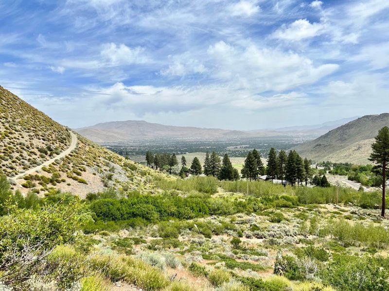
Higher stretches of the Kings Canyon trail system open onto wide views of the Carson Valley. On clear days, the Virginia Range and Washoe Lake come into focus.
Sagebrush foothills roll toward the valley floor below. Carson City spreads out in tidy grids beyond.
Switchbacks turn back on themselves repeatedly, which means the view keeps shifting. Each bend serves up a slightly different composition.
Much of the loop sits in full sun, so the panoramas come with warmth. Morning light tends to flatter the ridges most.
Photographers should bring something with a bit of reach. Distant peaks read better when pulled closer.
Benches are scarce, so flat rocks become the seats of choice. Snack breaks up here feel earned.
Late afternoon brings long shadows across the sagebrush. Colors turn warm and the valley softens.
Few places in this corner of Nevada offer that much scenery for so little driving. The canyon quietly overachieves.
Four Seasons, Four Different Canyons
Spring runs the loudest. Snowmelt from the surrounding mountains pushes the cascades to their strongest flow.
Wildflowers turn up around the same time, dotting slopes and creek banks with color. Grasses stay green a little longer near the water.
Summer brings heat and full-sun stretches on the loops. Early starts beat both the temperature and the crowds.
Even on scorching afternoons, the lower falls area feels dramatically cooler. Visitors often describe stepping into a pocket of air-conditioning.
Autumn thins the crowd and softens the light. Creekside trees add flashes of yellow.
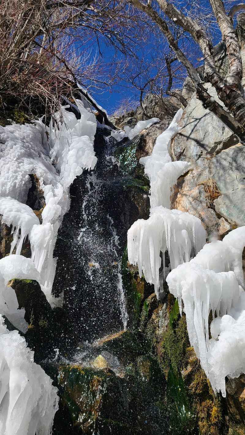
Winter can freeze parts of the falls into ice sculptures. Trails may hold snow, and narrow sections with drop-offs get risky.
Flow is never guaranteed. Some visitors in September still find water running, while others catch a trickle.
Checking recent conditions before driving out helps set expectations. Kings Canyon changes its personality month to month.
Repeat visits reveal how much a single canyon can transform.
Parking, Restrooms, And What To Pack
Good news for planners. The trailhead handles logistics better than most backcountry starts.
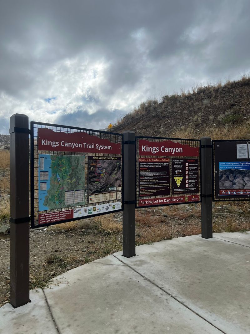
Paved parking sits at the western dead end of Kings Canyon Road, with restrooms and posted trail maps nearby. Visitors regularly note that navigation apps get the directions right.
Parking is free and reasonably large. Weekend mornings fill faster than weekday afternoons.
No drinking water exists on the trails, so bottles come from home. Two per person is a sensible baseline in warm weather.
Sunscreen earns its place in the pack. Long stretches of the loops offer zero shade.
Snacks, a hat, and sturdy shoes cover the rest. Layers help in shoulder seasons when canyon air stays cool.
Kings Canyon operates as day use only. Camping and overnight backpacking are not permitted.
Studying the trailhead map before starting prevents accidental long routes. Several paths branch from the same lot.
Cell service can be spotty in the canyon, so downloading a map ahead of time is smart. Small preparations make the visit smoother.
Why Dogs Have To Sit This One Out
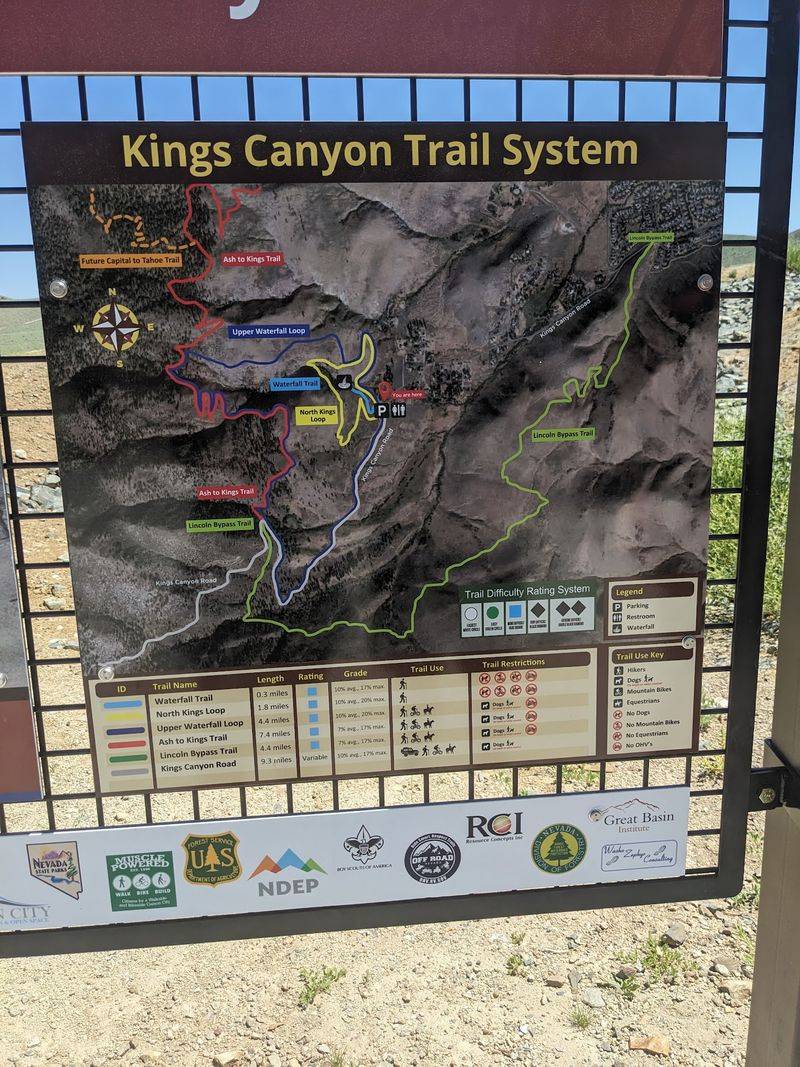
Leaving the leash at home stings, but there is a solid reason.
Kings Canyon serves as part of the watershed supplying drinking water to Carson City. Protecting water quality drives the rules here.
Dogs are prohibited on the Waterfall Trail and the North Kings Loop, even on leash. Signs at the trailhead spell it out clearly.
Bikes are also restricted on certain paths near the falls. Reading posted notices avoids an awkward turnaround.
Staying on designated trails matters for the same reason. Cutting switchbacks loosens soil and sends sediment toward the creek.
Packing out every wrapper and peel keeps the canyon clean. Leave No Trace habits go a long way in a watershed.
Some visitors ignore the dog rule, which frustrates regulars. Following the guidelines protects access for everyone.
Other trail systems around Carson City welcome four-legged company. Saving the pup for those outings works well.
Rules here exist to keep taps running clear and the canyon healthy. That trade feels fair.
A Trail Network That Keeps Going
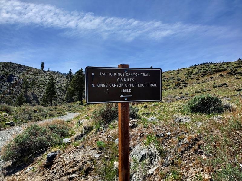
The waterfall is just the front door.
Kings Canyon connects to a broad web of routes for anyone wanting a longer day. The Ash to Kings Trail runs roughly 7.4 miles and links with other paths, including the Lincoln Bypass Trail.
Those connections push deeper into the foothills of the Carson Range. Sagebrush gives way to scattered pines as elevation builds.
Ambitious hikers can tie into the Capital-to-Tahoe Trail. From there, the system reaches toward the Tahoe Rim Trail.
Mountain bikers and horseback riders use portions of the network too. Sharing space politely keeps things pleasant.
Signage at junctions helps, but a downloaded map helps more. Some intersections look similar in open terrain.
Distances add up quickly once the loops connect. Turning back early is always an option.
Water, food, and a rough time plan matter on the bigger outings. Shade disappears fast on exposed ridges.
What starts as a quick waterfall stop can turn into an all-day tour of Nevada’s foothill country.
Critters, Birds, And Quiet Encounters
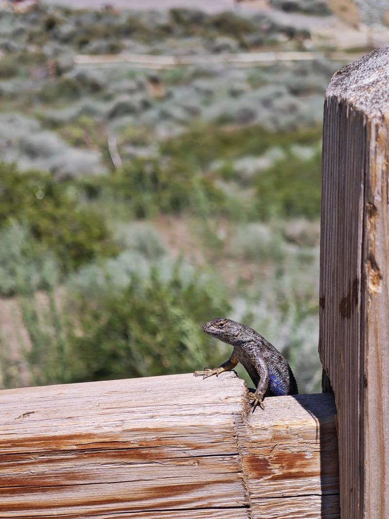
Squirrels get the loudest reputation. Butterflies get the most attention from kids.
Hikers in Kings Canyon commonly spot rabbits, chipmunks, and songbirds along the creek. Deer move through at dawn and dusk when foot traffic thins.
Raptors sometimes circle above the canyon walls. Bird lovers should pack binoculars.
Larger animals live here as well. Black bears and mountain lions inhabit the broader Carson Range, though sightings are uncommon.
Standard precautions apply. Making noise, keeping food secured, and staying with a group all reduce surprises.
Never approach or feed wildlife. Distance protects both animals and visitors.
Rattlesnakes may appear on warm rocks during hot months. Watching foot placement is simply good practice.
Plants add their own character, with sagebrush and mountain shrubs releasing sharp, pleasant scents after rain. Several reviewers mention the smell as a highlight.
Quiet walkers see more than fast ones. Slowing down turns a short hike into a small wildlife tour.
Nature here rewards patience over pace.
Five Minutes From Town, Worlds Away
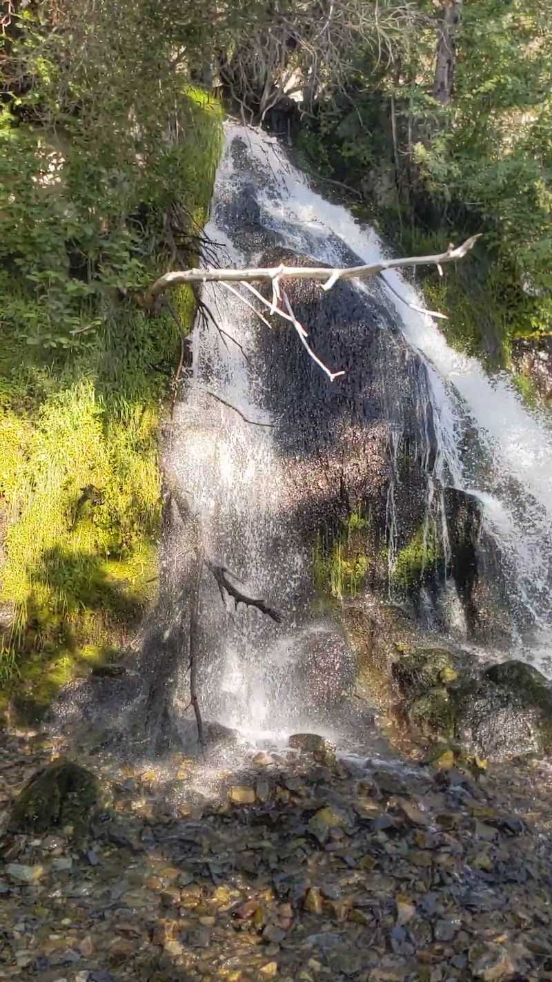
Backcountry feel without the backcountry drive. That is the real trick here.
The trailhead sits roughly a five-minute drive west of downtown Carson City. Suburban streets fade into canyon walls almost immediately.
Spontaneous trips become easy. Locals squeeze in a waterfall visit between errands.
Travelers passing between Lake Tahoe and Reno often detour here. Reviewers frequently call the short side trip worthwhile.
The parking lot approach is scenic on its own, climbing gently into the canyon mouth. Windows down is the correct setting.
Short outings suit families with restless kids. Longer loops satisfy anyone chasing a real workout.
Combining the hike with a meal or museum stop in town makes for a full afternoon. Kings Canyon fits neatly into a bigger Nevada itinerary.
Hours vary by day and season, so a quick check before heading out prevents disappointment. Gates do close in the evening.
Convenience rarely pairs with this much scenery. That combination is exactly why the canyon stays popular.
Rock, Springs, And The Shape Of The Canyon
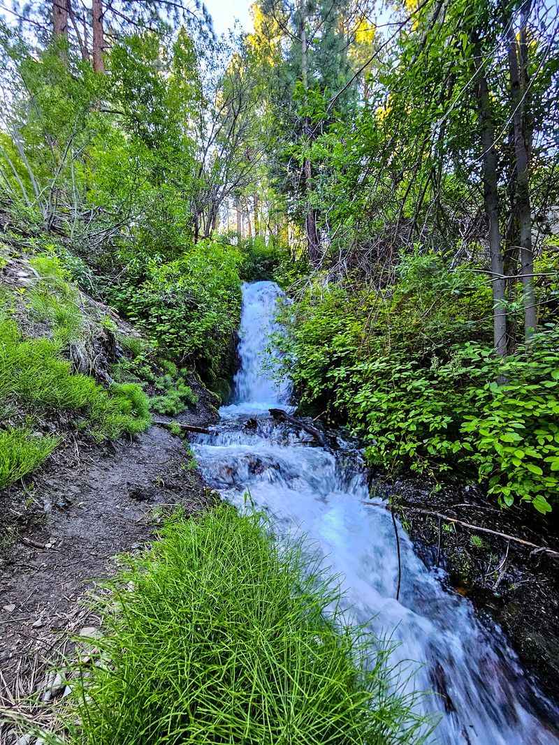
Water did most of the sculpting. Time supplied the patience.
Kings Canyon sits in the eastern foothills of the Sierra Nevada, where uplift and erosion shaped steep walls and narrow drainages. Flowing water has smoothed and notched the rock over long stretches of geologic history.
Springs feed the creek, which explains why some flow persists even in dry stretches. That steady source is unusual in high desert country.
Rock faces show layers and fractures, evidence of shifting ground. Boulders below the falls arrived the hard way.
Moisture creates a small green ribbon through otherwise dry terrain. Ferns and mosses thrive where spray reaches.
Uphill from the water, plants switch to drought-tolerant species. The transition happens within a few steps.
Scrambling on wet rock beside the falls tempts many visitors. Slippery surfaces make caution essential.
Understanding how the canyon formed adds depth to the walk. Kings Canyon becomes more than a pretty stop.
Geology and water still shape this place daily. The story is far from finished.