
This Once Quiet Rhode Island Harbor Town Is Facing A Contentious Development Dispute
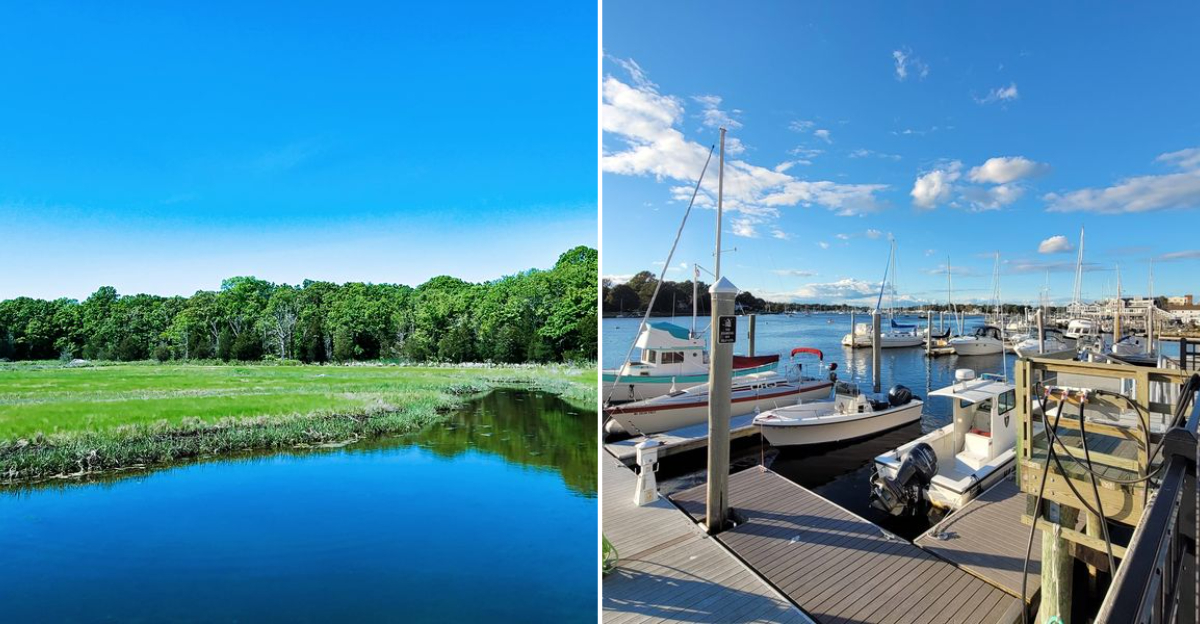
Some places live quietly for years until controversy suddenly shakes things up. This once peaceful Rhode Island harbor town now finds itself in the middle of exactly that kind of dispute.
Locals have taken sides, some defending the town’s traditional character while others push for new development. Nothing about the debate happened quickly, building instead over months of disagreement at community meetings.
Longtime residents feel strongly about preserving the harbor exactly as it’s always been. Newer developers see the same waterfront differently, pushing for expansion and modern investment.
Officials caught in the middle now face pressure from both directions with no easy resolution in sight. This town proved that even the quietest places can become the center of real controversy.
Historical Significance Of The Harbor Town
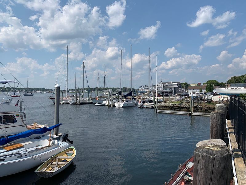
Founded in 1747 and named for British naval hero Admiral Sir Peter Warren, this town started life with a rare advantage: two waterfronts. The Warren River sits on one side, the Kickemuit River on the other.
Shipbuilding, whaling, and West Indies trade filled the early ledgers. Between 1840 and 1860, Warren became Rhode Island’s leading whaling port, with roughly 60% of all whaling vessels registered in the state sailing out of this one small harbor.
All that money and activity built something you can still walk today. The historic core is dense, tight, and pedestrian-friendly, with homes and shops sitting shoulder to shoulder instead of sprawling.
The Warren Waterfront Historic District is listed on the National Register of Historic Places. It covers a central area packed with residential, commercial, and civic buildings, some reaching back to the mid-18th century.
Long before any of that, the land was the ancestral homeland of the Pokanoket Tribe. That history runs deeper than the colonial record and shapes how people talk about the ground here.
The Revolutionary War left marks too. British raids hit the town directly, a detail that tends to surprise visitors expecting a purely sleepy fishing village story.
Understanding that layered past matters right now, because the current development fight is partly about what gets preserved and what gets replaced.
Environmental Concerns Linked To Development
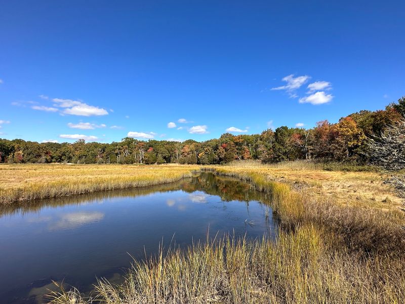
Here is the uncomfortable geography lesson. Warren is low-lying and nearly wrapped in water: Belcher Cove, the Warren and Kickemuit rivers, plus Narragansett and Mount Hope bays all press in.
Coastal storms, flooding, and sea-level rise are not abstract worries here. The town’s wastewater treatment plant sits right on the shoreline and is projected to be completely underwater within 65 years.
Now add the flashpoint. A proposed development called Settler’s Green would go on the historic Kinnicutt/Bettencourt Farm, land that borders a saltwater estuary.
The plan calls for two four-story apartment buildings, which would rank among the tallest structures in town.
That means 120 residential units on land currently zoned for roughly two dozen, plus nearly 200 parking spaces and no dedicated green space beyond the existing wetlands.
Opponents argue the project would strain traffic, water resources, and public services while wiping out wildlife habitat. Losing open farmland next to an estuary is the part that stings most for them.
It is not the only proposal drawing heat. A separate plan for 77 units at the former Highlander/Fatima school property on Market Street borders wetlands and the Palmer River.
That site falls under review by the Coastal Resources Management Council and the USDA’s Natural Resource Conservation Service. Two agencies, one small parcel, plenty of scrutiny.
Local Economic Implications Of Construction Projects
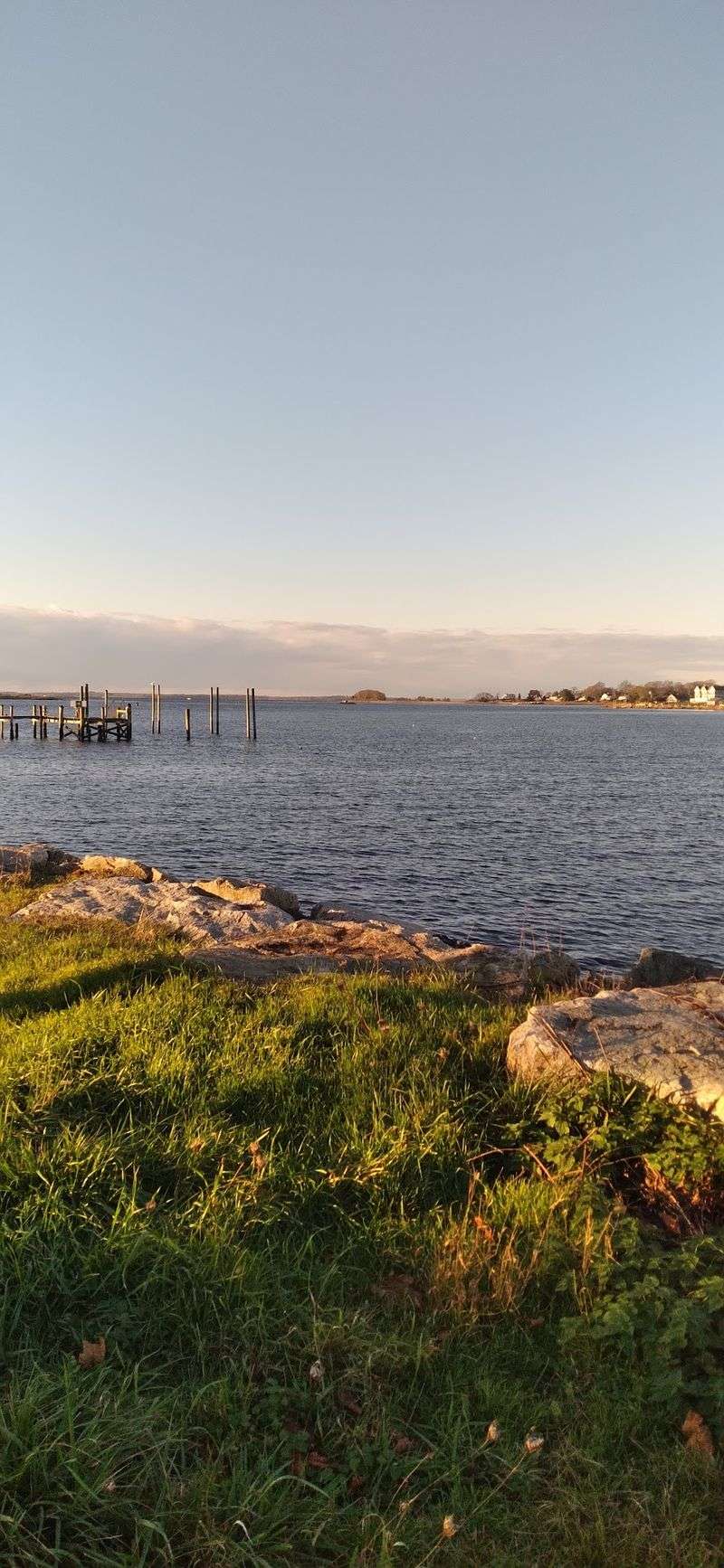
Money changes the tone of every zoning meeting, and Warren has some serious numbers on the table. The town’s Market to Metacom plan tries to tackle climate risk and economic redevelopment at the same time.
The idea is to move vulnerable properties out of flood zones and rebuild a corridor as a mixed-income area with retail, restaurants, and housing. Ambitious does not quite cover it.
Total estimated cost across four phases sits near $153 million. Phase one alone, covering property acquisitions, demolition, and utility removal, is pegged around $15 million.
A community of about 11,000 residents simply cannot write that check. Warren would need substantial federal funding to pull any of it off, which makes timelines uncertain.
Meanwhile, construction is already happening elsewhere. Penny Lane, a 40-unit affordable housing project on Child Street, is actively being built with a total development cost topping $18.5 million.
Critics of Settler’s Green argue the opposite effect, saying 120 units would push demand onto schools, roads, and emergency services faster than revenue could catch up.
History offers a comparison point. An earlier mixed-use proposal on Water Street, which involved demolishing historic buildings, was denied partly because it did not include enough affordable units to meaningfully help the town’s housing shortage.
So the economic question is not build or do not build. It is which kind of building actually pays off locally.
Community Engagement And Public Opinion Trends
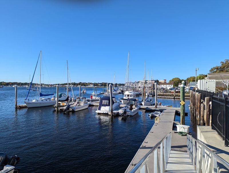
Nothing organizes a small town faster than a four-story building where a farm used to be. Settler’s Green helped spark the formation of Warren Citizens for Appropriate Development, better known as WCAD.
The group argues the proposal ignores both community preferences and the town’s own comprehensive plan. They also fundraise because legal fees and expert testimony are expensive.
That is the practical reality of fighting a development proposal. Opposition requires attorneys, engineers, and consultants, and none of them work for free.
Oddly enough, plenty of residents reportedly had no idea the Settler’s Green proposal existed, even after extensive public discussion. Small-town news travels unevenly.
There is precedent for organized pushback working. The Water Street mixed-use proposal was denied by the Warren Planning Board after preservation advocates argued it would damage the historic district’s character and fall short on affordable housing.
That fight produced its own citizen group, Save Water Street. Two development disputes, two grassroots organizations, one town.
Public hearings on the Highlander/Fatima school redevelopment have also drawn resistance from nearby neighborhoods. Parking, density, and wetlands come up again and again.
For anyone wanting to follow along, the Warren Planning Board meets monthly and posts agendas and minutes publicly.
The Warren Health Equity Zone’s Safety and Community Resilience Work Group brings residents, town employees, and organizations together specifically to talk about flooding.
Urban Planning Strategies For Waterfront Areas
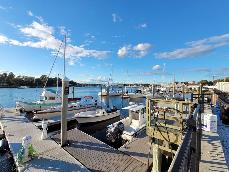
Planning a waterfront in Rhode Island means dealing with three layers of rules at once: town, state, and federal. Warren’s Planning Board reviews every development and subdivision proposal under Rhode Island General Laws.
The board also recommends zoning ordinance changes to the Town Council. It weighs applications inside the Waterfront Overlay District, a section of the zoning ordinance with its own site and design standards.
Then the state steps in. The Coastal Resources Management Council serves as the primary regulatory authority for coastal management, handling preservation, protection, development, and restoration through plans and permits.
CRMC rules are strict on purpose. Erosion-oriented setbacks and Coastal Buffer Zones protect both buildings and the ecosystems around them.
Setbacks are calculated using average annual erosion rates, with a minimum of 50 feet from a coastal feature or 25 feet from a buffer zone. Larger residential or commercial projects face setbacks of 60 times the average annual erosion rate.
Any construction or alteration touching a shoreline feature, or happening within 200 feet of one, needs a CRMC permit. That radius covers a lot of ground in a town this waterlogged.
Federally, the Coastal Zone Management Act of 1972 pushes states to build coastal management programs, and federal actions must align with approved state plans.
Warren layers its own Market to Metacom vision on top, pairing relocation of at-risk properties with mixed-use redevelopment built for a wetter future.
Preservation Efforts Of Coastal Ecosystems
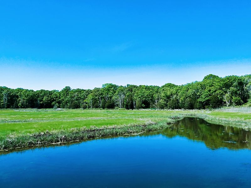
Amid all the arguing, quiet restoration work keeps rolling along. The Warren Land Conservation Trust, founded back in 1987, protects open space, pushes for climate resilience, and looks after native species.
WLCT now manages more than 200 acres. A big share of that is protected salt marsh, which does far more flood control work than most people realize.
One project stands out. Working with the Natural Resources Conservation Service, Save the Bay, and the Rhode Island Department of Environmental Management, WLCT launched a four-year restoration at Sowam’s Meadow Preserve along the Palmer River.
The goals read like a wish list for a marsh. Convert farm fields into native grassland so salt marsh can migrate inland, remove barriers blocking saltwater flow, restore freshwater wetlands, plant for pollinators, and build habitat for salt marsh sparrows.
Nearby, Save the Bay’s habitat restoration crew works another marsh near the Highlander Charter School. They hand-dig runnels to improve tidal drainage, which is exactly as muddy as it sounds.
The town pitches in with green infrastructure for stormwater, including bioswales and underground infiltration systems, often partnering with Save the Bay. Shoreline stabilization and better waterfront access are planned at Jamiel’s Park along Belcher Cove.
Advising the Town Council is the Warren Conservation Commission, which covers groundwater, watersheds, floodplains, wetlands, wildlife, and habitat protection.
Impact Of Tourism On Harbor Town Growth
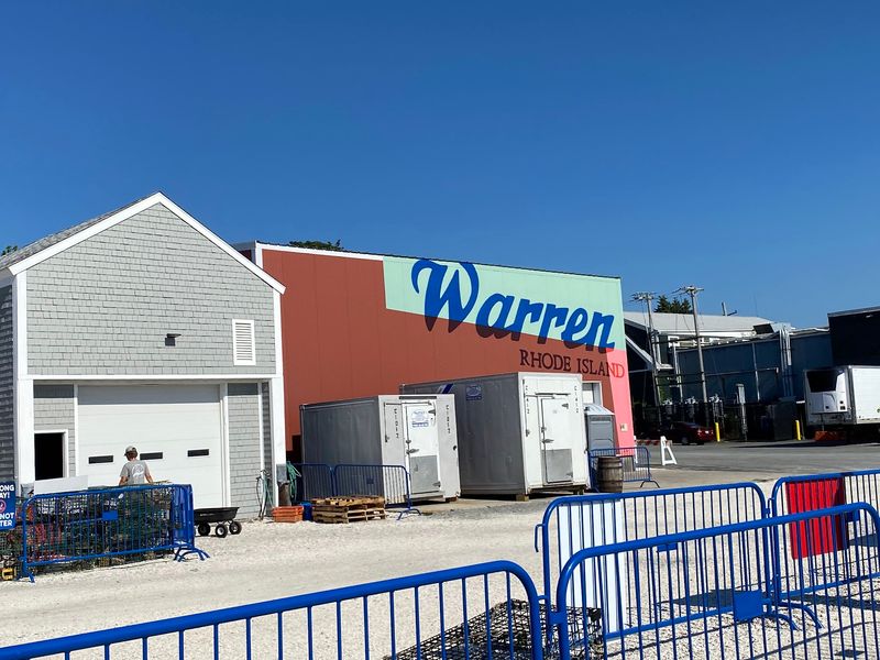
Statewide, tourism is a heavyweight. It supported 13% of all Rhode Island jobs and drew a record 29.4 million visitors in 2024, who spent roughly $6 billion.
Those visitors come for the coastline, the four real seasons, and a food and arts scene that punches well above the state’s size. Nearly 400 miles of shore helps.
Warren is not marketed as a headline destination like Newport or Block Island. Its local economy still leans toward the waterfront, so visitor spending matters even without the crowds.
That in-between status is exactly why the development debate gets heated. Change here could either grow tourism or erase the qualities that make the town appealing in the first place.
The Market to Metacom plan includes economic redevelopment aimed at creating a mixed-use corridor with retail and restaurants. More storefronts could mean more reasons to stop, wander, and spend an afternoon.
Job creation follows visitor spending. Shops, kitchens, and service businesses all hire locally when foot traffic increases.
Still, the historic core is the actual draw. Dense, walkable streets with 18th-century buildings cannot be rebuilt once they are gone, which is why preservation advocates fight so hard over individual structures.
Balancing new construction against small-town charm is the whole puzzle. Get it wrong, and the town loses the thing visitors came for.
Legal Framework Governing Land Use Changes
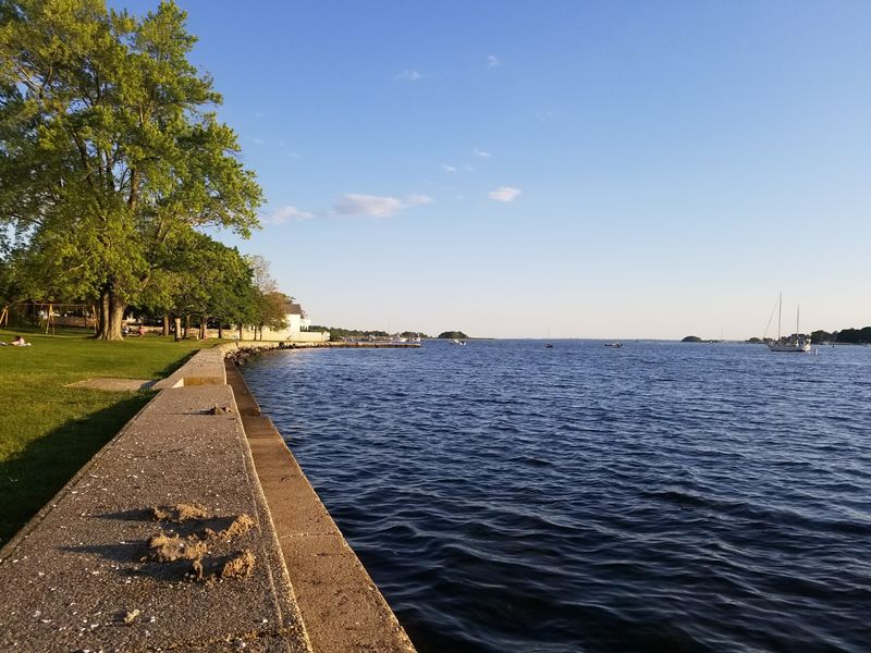
Zoning law sounds dull until it decides whether a farm becomes 120 apartments. In Warren, every development and subdivision proposal goes through the Planning Board under Rhode Island General Laws.
The board also recommends zoning ordinance amendments to the Town Council. It reviews applications in the Waterfront Overlay District, which sets specific site and design standards for waterfront projects.
State law adds real teeth. Rhode Island’s Coastal Zone Management Act protects, develops, and restores coastal resources by regulating shoreline protection, land alteration, and construction, and it requires waterfront property owners to hold proper permits.
CRMC is the agency that enforces much of this. It issues permits for work in the coastal zone and sets erosion-oriented setbacks plus Coastal Buffer Zones to shield structures and ecosystems alike.
Remember that 200-foot rule. Any construction or alteration on a shoreline feature, or within 200 feet of one, requires a CRMC permit.
The General Assembly directs CRMC to manage coastal resources wisely while preserving public access and rights to natural resources. Public access is written into the mission, not tacked on.
Federally, the Coastal Zone Management Act of 1972 encourages state coastal programs, and federal actions affecting a coastal zone must be consistent with them.
Freshwater wetlands fall under RIDEM’s jurisdiction. Locally, Warren’s Zoning Board meets monthly to handle applications and zoning questions.