
This Georgia Lake Was Built Over Lost Communities And Their Old Roads Still Reappear
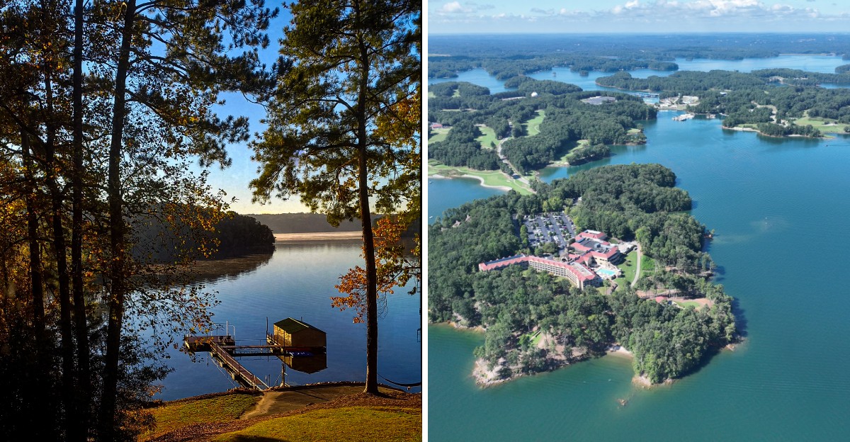
A lake can look perfectly calm and still have an entire past hiding beneath the surface. That is what makes this Georgia destination so fascinating.
Beneath the water are traces of communities that once had homes, roads, and everyday routines before the area was flooded to create the reservoir.
Most days, you would never know any of it was there. Then water levels drop, and pieces of the past begin showing themselves again.
Old roadbeds can reappear near the shoreline, offering a strange reminder that this part of Georgia looked very different before the lake existed.
It is hard not to wonder what those roads once connected or who traveled them decades ago. That mix of beauty and buried history gives the lake a story far deeper than its shoreline, making it one of those places that can completely change once you know what lies underneath.
A Dam That Rewrote The Whole Map
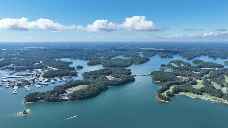
Some lakes are carved by glaciers, but this one was carved by paperwork and concrete. The U.S.
Army Corps of Engineers began building Buford Dam on the Chattahoochee River in 1950.
Workers finished the main structure in 1956, and the water started rising soon after. By 1959, the reservoir had reached full pool, filling valleys that had been home to farms for generations.
The goals were practical and big. Planners wanted flood control, hydroelectric power, and a steady water supply for fast-growing Atlanta.
The result was Lake Lanier, named after Sidney Lanier, a 19th-century poet who wrote about the Chattahoochee. His poem Song of the Chattahoochee still feels fitting when you watch the water roll past the hills.
Today the lake covers about 38,000 surface acres when full. Its shoreline twists for roughly 690 miles, which is longer than the drive from Atlanta to Washington, D.C.
The dam itself sits at 1050 Buford Dam Road in Buford, where the Corps runs the project office. A stop at the overlook gives you a clear sense of how one wall of earth and concrete changed an entire region.
Farms, Churches, And Country Stores Beneath The Surface
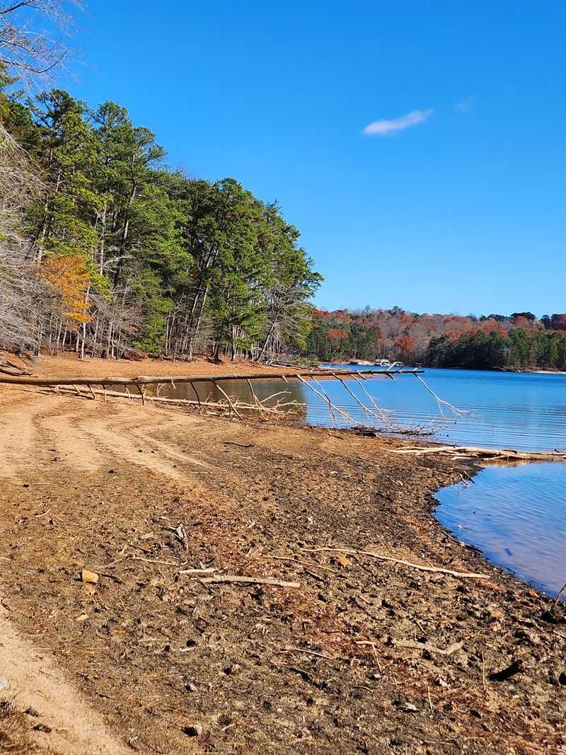
Long before jet skis, these valleys hummed with tractors and Sunday hymns. The government bought around 50,000 acres of land to make room for the reservoir.
Hundreds of families packed up and moved away from homes their grandparents had built. Small communities with names like Bells Mill and Flowery Branch area farms saw their fields slowly turn into lake bottom.
Not every building was hauled away. Many houses were taken down, but some foundations, chimneys, and stone walls were simply left behind as the water crept in.
Picture that for a moment. Somewhere under your boat, there may be the outline of a barn or the steps to a front porch.
The flooded area stretched across several counties, including Hall, Forsyth, Dawson, Lumpkin, and Gwinnett. Each one gave up roads, bridges, and pastures to the rising water.
Knowing this changes how the lake feels. A quiet cove becomes more than a swimming spot, and every calm afternoon carries a little extra history with it.
Some local historical societies keep photos of these old communities. They are worth a look before you head out on the water.
Oscarville And The Stories Worth Remembering
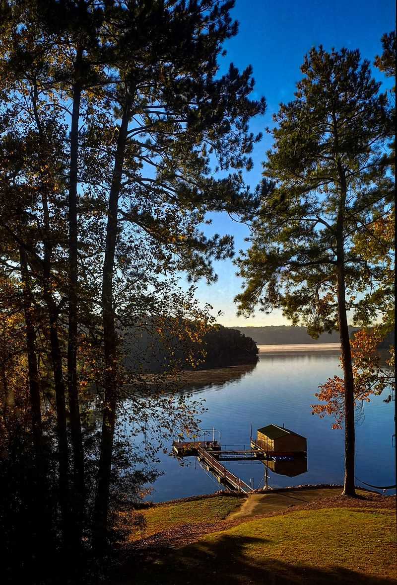
History is not always tidy, and Oscarville proves it. The small community sat in Forsyth County, close to where the Chattahoochee once flowed freely.
In the early 1900s, Oscarville was home to a thriving group of Black landowners and farmers. They had churches, schools, and businesses, along with deep family roots in the area.
In 1912, racial violence forced Black residents out of Forsyth County, and many lost their land. Decades later, much of the old Oscarville area disappeared under the new reservoir.
That story has gained wider attention in recent years. Writers, historians, and descendants have worked hard to make sure the community is not forgotten.
Learning about Oscarville adds depth to any trip to the shoreline. It reminds us that real people built lives here long before the marinas arrived.
If you want to explore further, look for books and documentaries about Forsyth County history. Local libraries in the area are a great place to start.
Taking a quiet moment at a lakeside overlook is a simple way to honor those families. Sometimes the best souvenir is a little more understanding.
Cemeteries That Moved Uphill
Moving a town is hard, and moving a graveyard is even trickier. Before the valleys flooded, the Corps relocated many family and church cemeteries to higher ground.
Crews carefully moved hundreds of graves so they would stay above the waterline. Families often helped choose new resting places nearby.
Some cemeteries were not moved at all. Their locations were high enough to stay dry, or they were simply left in place as the lake filled around them.
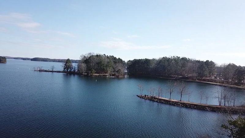
That is why a few old burial grounds now sit on small islands or right along the shore. Spotting one from a kayak can feel like finding a page from an old diary.
These places deserve gentle treatment. Stay on the water side, keep voices low, and never disturb stones or markers.
Many of these sites are on public land managed by the Corps. Rules protect them, and following those rules keeps history safe for the next generation.
For curious minds, online cemetery records can show names and dates. Reading them turns a quiet hillside into a story about real families who once farmed this land.
Old Roads That Rise When The Water Drops
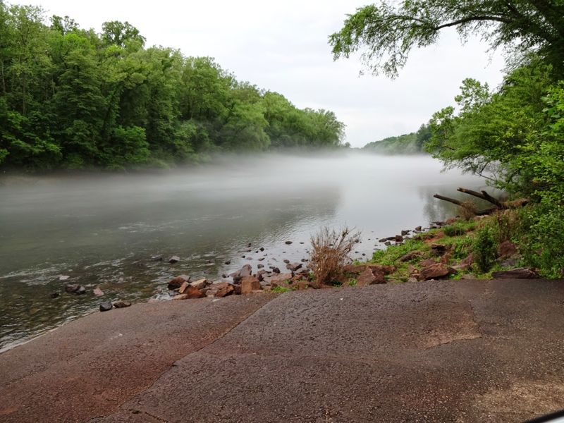
Nothing grabs attention like a road that leads straight into a lake. During dry years, that is exactly what shows up along Lake Lanier.
The biggest reveal came during the drought of 2007 and 2008. In December 2007, the water fell to about 1,050 feet above sea level, roughly 20 feet below full pool.
Suddenly, red clay banks stretched far from the docks. Old roadbeds, bridge pieces, and stone foundations appeared where boats usually cruised.
Some of these roads were simple country lanes. Others were paved highways that once connected towns before newer routes were built around the lake.
You can sometimes trace the old pavement right down the bank. It disappears into the water like it is still trying to reach its old destination.
Low water happens again from time to time, usually in late fall or after dry summers. Those are the best moments to spot hints of the past.
Just remember to look, not dig. Taking anything from Corps land is against the rules, and leaving it in place lets everyone enjoy the mystery.
A Racetrack Hiding Beneath The Waves
Here is a fun one for car fans. Under part of the lake sits the old Looper Speedway, a dirt racetrack from the 1950s.
The track was near Gainesville, in the area later swallowed by the reservoir. Stock cars once kicked up dust there before the water took over.
When levels drop enough, parts of the old oval can show up near the shoreline. Some sections of the track and its structures have been spotted during dry spells.
Gainesville has a long connection to racing. That makes this sunken speedway feel like a lost chapter of the area’s love for engines and speed.
Imagine boating over a place where crowds once cheered. Today the only racing happens on the surface, and the cars have been swapped for bass boats.
If you are curious, look up old photos of the speedway online. Comparing them to modern maps is a fun puzzle for history lovers.
It is also a great story to share on a lazy afternoon. Few lakes can say they have a racetrack in their basement.
Reading Lake Levels Like A Seasoned Explorer
Want to spot the past yourself? Start by learning one simple number: 1,071 feet.
That is full pool for Lake Lanier, measured above sea level. When the water dips several feet below it, old features start to peek out.
The Corps of Engineers posts daily lake levels online. Checking that data before a trip helps you plan a smart outing.
Lower water usually comes in late fall and early winter. The Corps often lowers the lake a bit during these months, which can reveal more shoreline.
A good rule is that every foot of drop uncovers more bank. Around five feet or more below full pool, interesting shapes tend to appear.
Low water also brings hazards for boats. Stumps, sandbars, and old foundations can sit just below the surface, so slow down in unfamiliar coves.
Bring a phone with a lake map app if you can. Many apps show depth lines and old river channels.
Matching those channels to the visible banks is surprisingly fun. Before long, you will be reading the lake like a history book with water pages.
Olympic Paddles And Island Adventures
Few drowned valleys can brag about an Olympic medal ceremony. In 1996, Lake Lanier hosted the rowing and canoe sprint events for the Atlanta Summer Games.
The races took place near Clarks Bridge Park in Gainesville, Georgia. Today, the Lake Lanier Olympic Park still welcomes paddlers and hosts major races.
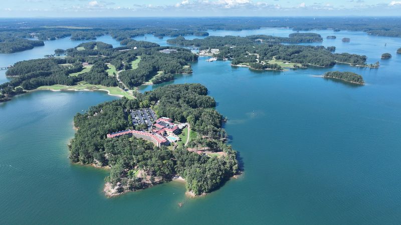
On the southern end, Lanier Islands offers a different kind of fun. The resort area includes a water park, a sandy beach, golf, and lodging.
In winter, the islands even bring out snow machines for tubing. Holiday light displays also make the season sparkle along the shore.
These islands are actually hilltops from the old valleys. Before the flood, they were ridges overlooking farms and dirt roads.
That twist makes a beach day a little more interesting. You might be sunbathing on what used to be a farmer’s high pasture.
Families love the mix of action and calm here. You can spend the morning on water slides, then watch rowers glide by later in the day.
It is a fun reminder that the lake keeps writing new chapters. The past stays below, while new memories float on top.
Paddling Into Sunset With Respect And Smarts
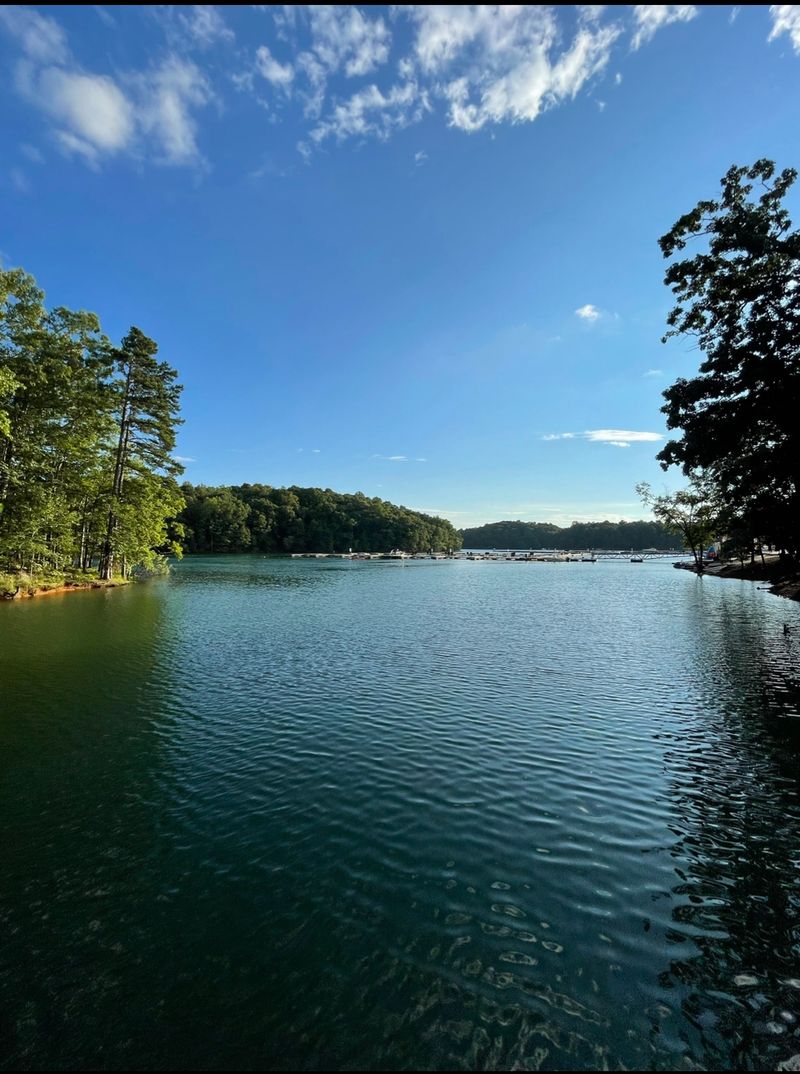
Golden hour on this lake deserves its own fan club. The sunsets over the coves are a favorite reason people come back again and again.
Kayaking is one of the best ways to explore the quiet edges. Mary Alice Park in Cumming is a popular launch point with a small beach.
Many parks around the lake are run by the Corps or local counties. Most charge a small day-use fee, so bring a card or cash.
Some entrances open around 8 a.m., so check hours before heading out early. Grab a park map at the gate if one is offered.
The lake is huge, and many coves look alike. Snap a photo of your launch spot so you can find your way back.
Wear a life jacket every time, even if you swim well. The water gets deep quickly, and wind can turn calm water choppy.
Pack out every bit of trash too. Keeping the shoreline clean shows respect for both nature and the communities that once lived here.
Treat the lake like a shared treasure. It will reward you with peaceful evenings and stories worth retelling.