
This Forgotten Massachusetts Lake Hides Lost Towns Where Streets Still Reappear Today
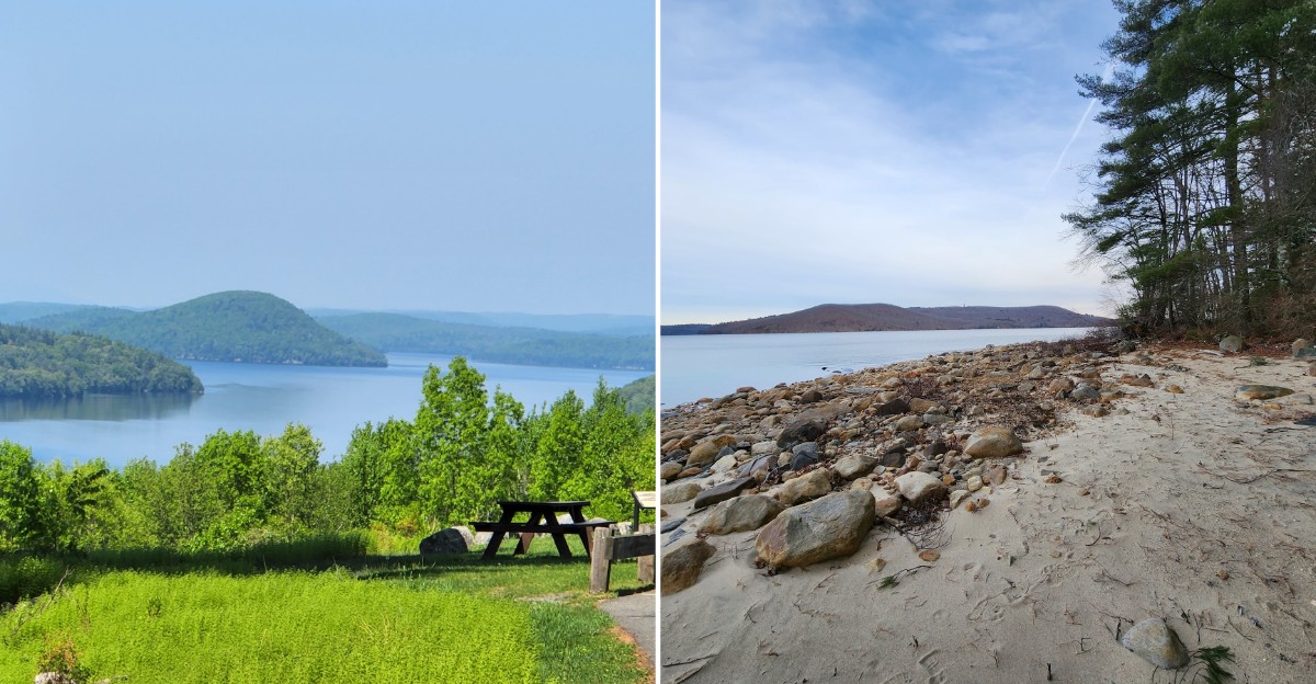
Four entire towns were wiped off the map in 1938, and their old paved roads still run straight into the water.
More than 7,500 graves were moved before the flooding began. About 2,500 people packed up and left their homes for good.
I can’t imagine watching my hometown slowly disappear under a lake.
Today, this spot in Massachusetts feels calm and wild. Bald eagles soar overhead, and stone walls still wander through the woods.
Cellar holes sit quietly where front porches once stood.
I like how the past here refuses to stay buried. You can walk an old road until the pavement simply slips under the waves.
So where exactly do those lost streets lead?
Four Towns Went Under So A City Could Drink
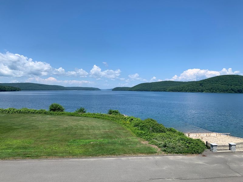
Boston needed water, and the Swift River Valley paid the price. Quabbin Reservoir in Massachusetts was built by flooding that valley, which meant erasing four towns.
Those towns were Dana, Enfield, Greenwich, and Prescott. They were officially disincorporated on April 28, 1938, which means they stopped legally existing overnight.
The project was authorized by the Swift River Act of 1927. During the 1930s, crews built the Winsor Dam and Goodnough Dike to hold everything back.
Water began rising in August 1939. The reservoir finally reached capacity in June 1946, so the filling took nearly seven years.
Roughly 2,500 residents had to leave before the water came. Families moved houses, closed shops, and said goodbye to farms worked for generations.
Even the cemeteries moved. More than 7,500 graves were relocated, most of them to Quabbin Park Cemetery, a quiet place you can still visit today.
When it was completed, Quabbin was called the largest man-made reservoir in the world devoted solely to water supply. That’s a big title for a lake born from so much loss.
Knowing this story first changes how the whole place feels. Every calm view suddenly carries a little more weight.
Old Roads Still Run Right Into The Water
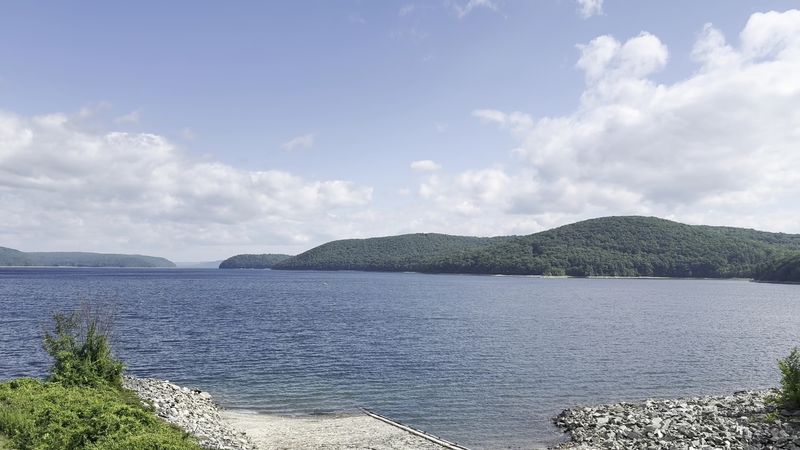
Pavement usually ends at a parking lot or a stop sign. At Quabbin Reservoir, some roads just keep going until they vanish underwater.
The original paved roads from the lost towns are still there. Many of them lead directly into the reservoir, like the lake swallowed them mid-sentence.
It’s a strange, quiet sight. You’re following a road built for horses and early cars, and then there’s only water ahead.
Foot access is allowed on gated forestry roads around the reservoir. That means you can explore these routes on your own two feet.
Bring a good map before you go. The DCR offers online interactive maps and a mobile app showing public roads and trails.
Entry and exit are limited to designated gates, so plan your route. Wandering off through random woods won’t count as a shortcut here.
Water levels have been below normal lately because of drought conditions. Lower water can make shorelines feel wider and more exposed, which adds to the eerie mood.
Standing where a road dips into the lake is hard to forget. It feels like history left the door open just a crack.
Dana Common Lets You Walk Through A Vanished Town
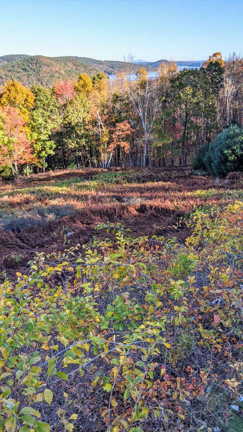
Want proof these towns were real? Dana Common is the best place to find it.
The Dana Common Trail leads to remains of the old town of Dana. Cellar holes and stone walls still sit in the grass and woods.
Unlike the other three towns, Much of Dana’s land stayed above water, including the old town center. So instead of staring at a lake, you get to stand where neighbors once lived.
Cellar holes are the stone-lined pits left behind when houses were removed. Each one marks a home, a kitchen, maybe a family dinner table.
Stone walls tell their own story. Farmers stacked those rocks by hand, clearing fields long before anyone dreamed of a reservoir.
Take your time on this walk. Reading the land slowly helps you notice where yards, roads, and gathering spots used to be.
Leave everything exactly as you find it. Removing historic artifacts is prohibited here, and these remains sit within a protected water supply area.
I believe this is the most powerful stop at Quabbin Reservoir. It’s quiet, simple, and surprisingly emotional for a pile of stones.
Start Smart At The Visitor Center Before You Wander
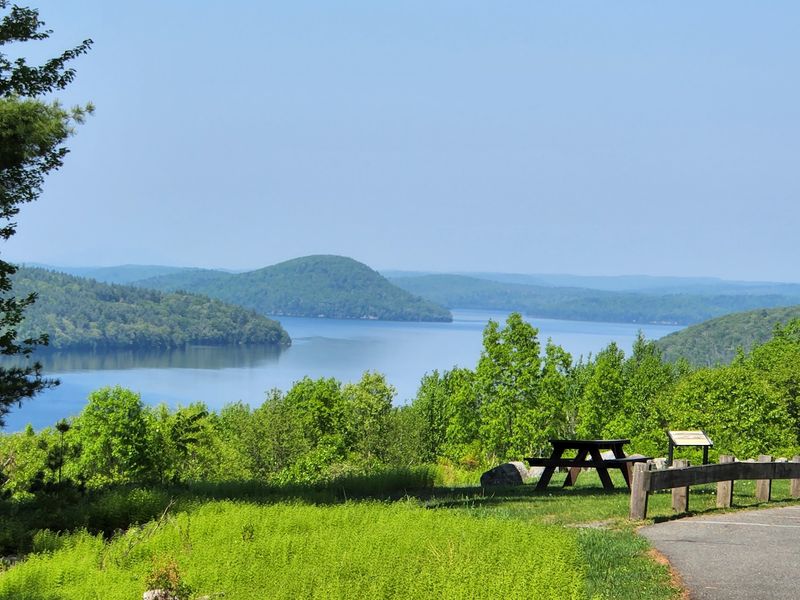
History makes more sense with a little background. The Quabbin Visitor Center fills in the gaps before you hit the trails.
You’ll find it at 100 Winsor Dam Rd., Belchertown, MA 01007. It sits near Winsor Dam, one of the huge structures that created the reservoir.
Exhibits cover how the reservoir was built and how it changed the land. They also explain the history of the valley and the towns that disappeared.
Educational programs are offered here too. They’re a great way to understand the place before exploring on your own.
The center is open Thursday through Tuesday, from 8:30 a.m. to 4:30 p.m. It’s closed on Wednesdays, so don’t plan a midweek surprise visit.
General access to designated areas runs from one hour before sunrise to one hour after sunset. Vehicle access times vary by season and are posted at entrances.
One heads-up for tower fans. The Quabbin Observation Tower is currently closed for renovations because of structural safety concerns.
Grab your bearings here first. Your hike will feel a lot richer once you know what happened beneath the surface.
Lookouts That Make You Forget Your Phone Battery
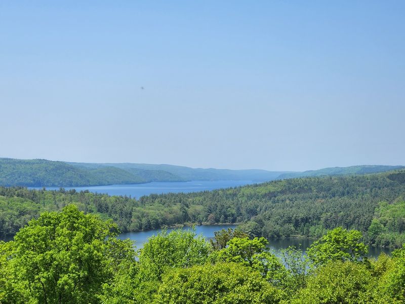
Some views earn a long pause. The lookouts at Quabbin Reservoir are exactly that kind.
Enfield Lookout and New Salem Lookout are two designated viewing spots. Both offer wide, sweeping looks across the water and forested hills.
Enfield Lookout carries an extra twist. The town it’s named after now lies beneath the water you’re admiring.
That’s what makes these views different from an ordinary lake overlook. You’re seeing beauty and history in the same glance.
The reservoir holds about 412 billion gallons of water. It’s the largest inland body of water in Massachusetts, and the size really shows from above.
Fall is an especially good time to visit. Foliage usually peaks in mid-to-late October, turning the hills bright red, orange, and gold.
Bring a camera, but go easy on yourself. No photo quite captures how far the water stretches.
Drones aren’t allowed anywhere on the property. Your feet and a good lens will have to do the work, and honestly, they do it well.
Trails And Bike Loops For Every Kind Of Explorer
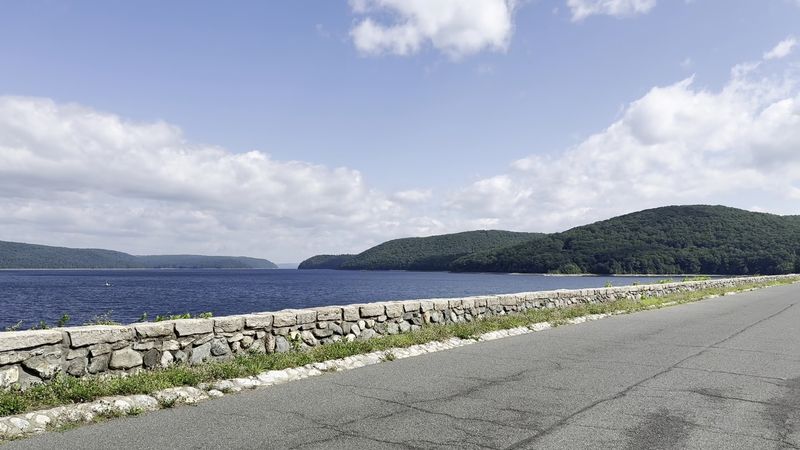
Hikers get plenty to celebrate here. Quabbin Park alone has about 20 miles of trails winding through woods and along the water.
Bikers aren’t left out either. A 10-mile loop in Quabbin Park lets riders cruise designated roads with beautiful views.
Massachusetts law requires helmets for riders 16 and under. Pack one for the kids, and maybe for yourself too.
Gated forestry roads beyond the park open up even more walking options. They’re a nice way to reach quieter corners of the reservoir.
Winter brings its own quiet charm. Snowshoeing is allowed on designated routes, though skiing is not, so leave the skis at home.
One important rule stands out. Walking on the frozen reservoir or regulating ponds is not allowed, no matter how solid the ice looks.
Ticks can be common in grassy and wooded areas. Long sleeves, repellent, and a quick tick check afterward are smart habits.
Picnic areas are available in Quabbin Park for a lunch break. Just remember there are no grills, stoves, or fires of any kind, so pack food that’s ready to eat.
Eagles, Loons, And Maybe A Moose
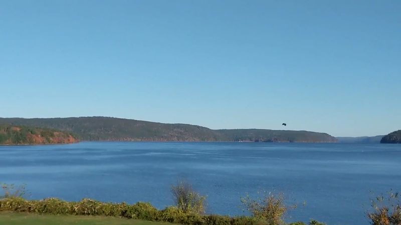
Bald eagles call this place home. That alone makes Quabbin Reservoir worth a pair of binoculars.
The area serves as a sanctuary for many animals. Loons, moose, deer, coyotes, black bears, foxes, and bobcats all live around the reservoir.
Gate 31 and Gate 40 are known as popular access points for wildlife watching. They’re good places to start if spotting animals is your main goal.
Patience pays off here. Move slowly, keep your voice low, and scan the treetops and shorelines.
Early mornings can be a great time to look around. Access opens one hour before sunrise, giving you time to catch the quiet hours.
Keep a respectful distance from every animal. Bears and moose are impressive, but they’re best admired from far away.
Dogs aren’t allowed anywhere on the property, even inside parked cars. The rule helps protect both the wildlife and the water supply.
It’s funny to think about. A place emptied of people decades ago became one of the best neighborhoods around for eagles.
Cast A Line Over The Old Swift River Valley
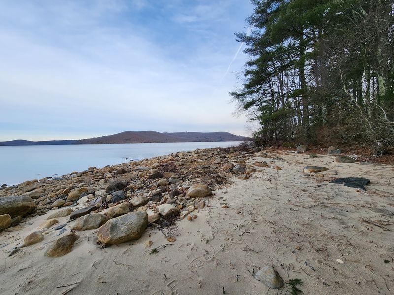
Lake trout and landlocked salmon swim over what used to be farmland. That’s a fishing trip with a backstory.
Fishing is allowed by boat or from the shoreline in designated areas. Quabbin has its own special regulations on top of state fishing rules, since protecting the water supply comes first.
Boat rentals are available at all three Boat Launch Areas, which are reached through Gates 8, 31, and 43.
Bringing your own boat has some rules. Private motorized boats need an intact Quabbin Boat Seal, and private canoes, kayaks, and other non-motorized boats aren’t allowed.
The season usually opens on the third Saturday of April. Boating closes on the third Saturday of October.
Shoreline anglers get extra time. Shore fishing can continue until December 31 if there’s no ice.
Besides trout and salmon, the reservoir is known for smallmouth bass and white perch. That’s a solid lineup for any angler.
Ice fishing is only allowed on three specific off-watershed ponds. Check regulations before heading out so your day stays smooth and rule-friendly.
Know The Rules Because This Lake Is Somebody’s Tap Water
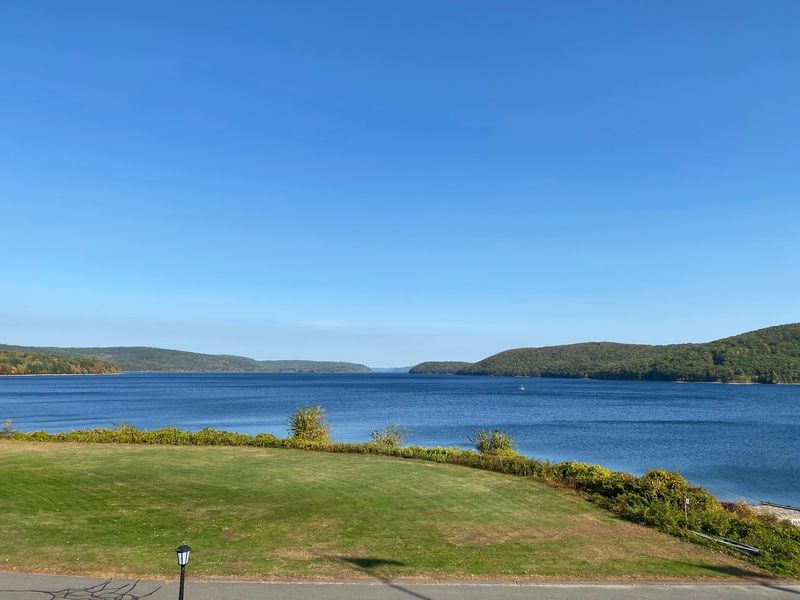
About 2.7 million people in eastern Massachusetts drink this water. And it’s unfiltered, which explains why the rules are so strict.
Quabbin Reservoir is managed by the Department of Conservation and Recreation’s Division of Water Supply Protection. Their main job is keeping the water clean.
Swimming isn’t allowed. Neither is camping, flying drones, or riding horses.
Fires, grills, and stoves are all off limits. Groups of 25 or more need a permit before visiting.
Hunting is only allowed during the annual Quabbin Controlled Deer Hunt. Otherwise, the animals get to relax.
Water is a hot topic right now. The reservoir has been in below-normal drought status, and voluntary conservation has been advised.
The MWRA is also seeking approval to withdraw an extra 20 million gallons per day. Some nearby communities have pushed back against the plan.
The name Quabbin comes from the Nipmuc language and means place of many waters. Follow the rules, and you’ll help keep those waters clear for the next generation of curious visitors.