
The Forgotten New York Town Hidden Deep Inside A 5,205 Acre State Park
Stone staircases climb out of the woods here and lead to nothing at all. No porch, no front door, no house. Just steps, moss, and a lot of quiet.
About 350 people once lived in this valley. They farmed, cut timber, worked mines, and sent their kids to a little stone schoolhouse. Today, small plaques mark where homes and shops used to stand.
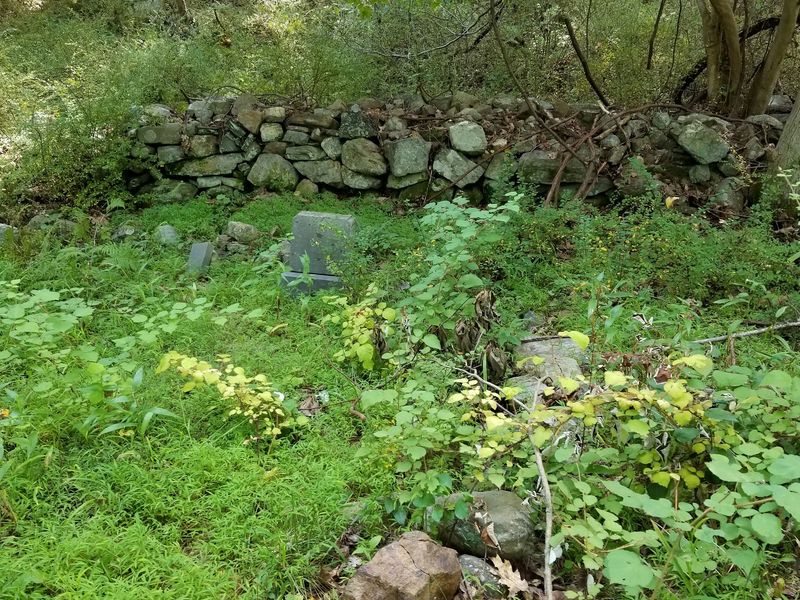
I can tell you this for certain: the place simply refuses to fully vanish. Family cemeteries still sit among the trees, and some are still used. Stone walls still trace old property lines through the forest of New York.
I can’t imagine a stranger feeling than hiking a trail that used to be someone’s road. Let’s take you through the story: who lived here, and why did they all leave?
A Whole Town Sits Inside A Park, And Nobody Lives There
Ghost towns usually live in desert movies, not an hour from Manhattan. Doodletown, NY breaks that rule in the best way. The former hamlet sits inside Bear Mountain State Park, which covers 5,205 acres.
Nobody has lived here since 1965. The town belongs to the Town of Stony Point in Rockland County, New York. Today, it serves hikers, birders, plant lovers, and history fans.
What remains is a quiet puzzle. Foundations peek through leaves, and old roads now act as trails. Stone walls still run through the woods like pencil lines on a map.
Here’s a practical tip before you lace up. Storms in summer 2023 badly damaged large parts of Bear Mountain and Harriman State Parks. Doodletown was among the areas hit, and access has been limited since.
So check with the Palisades Interstate Park Commission before you plan a trip. Trail conditions can change, and closures may still be in place. A quick check now saves a long, muddy disappointment later.
As damaged trails gradually reopen, few places in the state offer such an unusual combination of history and nature. You get a forest hike and a history lesson in one outing.
That Name Comes With A Spooky Translation
Doodletown sounds like a place where cartoons go on vacation. The real story is a bit darker. One popular explanation traces the name to the Dutch word dooddel, often given a much eerier meaning, although its exact origin remains uncertain.
English-speaking settlers later tacked on the word town. That gave us the friendly name we know today. Honestly, the switch worked out well for the town’s reputation.
The valley’s human story starts much earlier, though. The Munsee people were the first to live here. Their presence came long before any Dutch or English names arrived.
In 1683, Stephanus Van Cortlandt purchased the land from the Haverstraw people. That deal set the stage for European settlement in the area. Settlers came nearly a century later.
French Huguenots and Dutch pioneers began moving in during the 1760s. These families cleared land, built homes, and shaped a small mountain community.
Knowing the name’s roots changes how the hike feels. The valley looks peaceful and green now. Still, you might catch yourself glancing at the shadows a little longer than usual.
Call it a fun bonus for curious minds.
One Family Showed Up First And Turned Off The Lights
In 1762, a man named Ithiel June bought 72 acres in this valley. That purchase started a family story lasting about two centuries.
The June family ranks among the first settlers of Doodletown. They were also among the last to leave in the 1960s. Talk about commitment to a zip code.
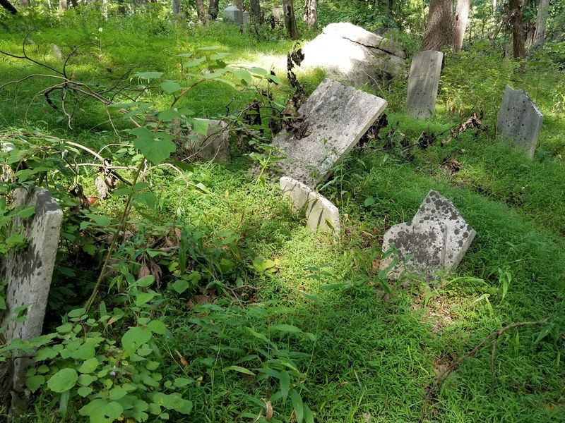
You can still find their mark today. Several old cemeteries remain on the land, including the June family cemeteries. Some graves date back centuries, while others are much newer.
Why newer ones? Former residents and their relatives still have the option of burial there. That makes these cemeteries a living link to the old town.
Please treat these spots with care and respect. They’re real family resting places, not props for photos. Stay on paths, leave stones and markers alone, and keep voices low.
I believe these cemeteries hold the heart of the whole place. Foundations show where people lived. Headstones show who they were, with names and dates you can actually read.
For anyone who loves family history, this stop feels personal. It turns a ghost town back into a hometown, at least for a moment.
Redcoats Once Marched Right Down These Roads
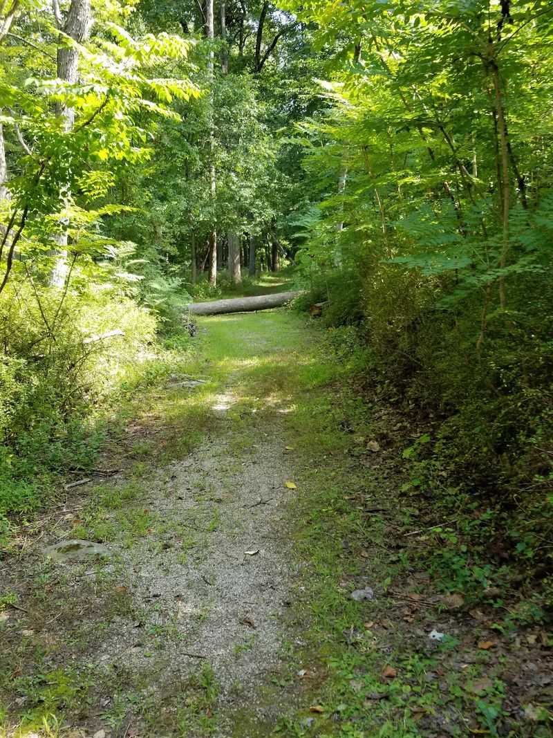
Your hiking boots might be following British footsteps. During the American Revolution, Doodletown sat at an important crossroads. Armies needed routes through these rugged hills, and this valley offered one.
British soldiers marched through the settlement on their way to Fort Montgomery near Bear Mountain. Locals likely watched an entire army pass their farms. That’s a lot of uninvited guests.
The Patriots used the roads too. Doodletown Road carried troops with General Anthony Wayne, nicknamed Mad Anthony. They were heading for his famous victory at Stony Point.
That nickname alone makes the history fun to share. Kids especially love learning that a general earned such a wild title.
Today, those same routes feel calm and leafy. Old roadways have become trails, so the history sits right under your feet. You don’t need a museum ticket to stand where soldiers once walked.
A smart move is reading up before your visit. Learn a little about Fort Montgomery and Stony Point first. Then the walk turns into a story you can follow mile by mile.
It makes the quiet woods feel surprisingly full of action.
Small Town Life Once Buzzed Through This Valley
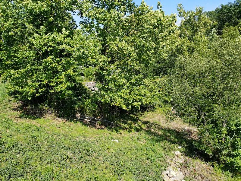
By the 1920s, about 350 people called Doodletown home. That was its peak population. For a mountain hamlet, that’s a busy little crowd.
Residents earned a living in hands-on ways. Early families worked in logging and mining. Small farms and local businesses filled in the rest.
Later jobs came from nearby Iona Island. Some locals worked at the Iona Island Picnic Grove resort.
Community life mattered here, too. The Mountville Presbyterian Church went up around 1854 to serve local families. There was also a schoolhouse and a general store.
Plaques now mark where some of these buildings once stood. Finding them feels a bit like a scavenger hunt with a history prize. Keep your eyes open as you walk.
Bring a simple trail map and some patience. Some sites sit close to the main paths, while others need a short detour. A phone camera helps you save each plaque for later reading.
Back home, you can piece together the town in your mind. It’s a fun project for families who like solving mysteries.
Why Everyone Packed Up And Left
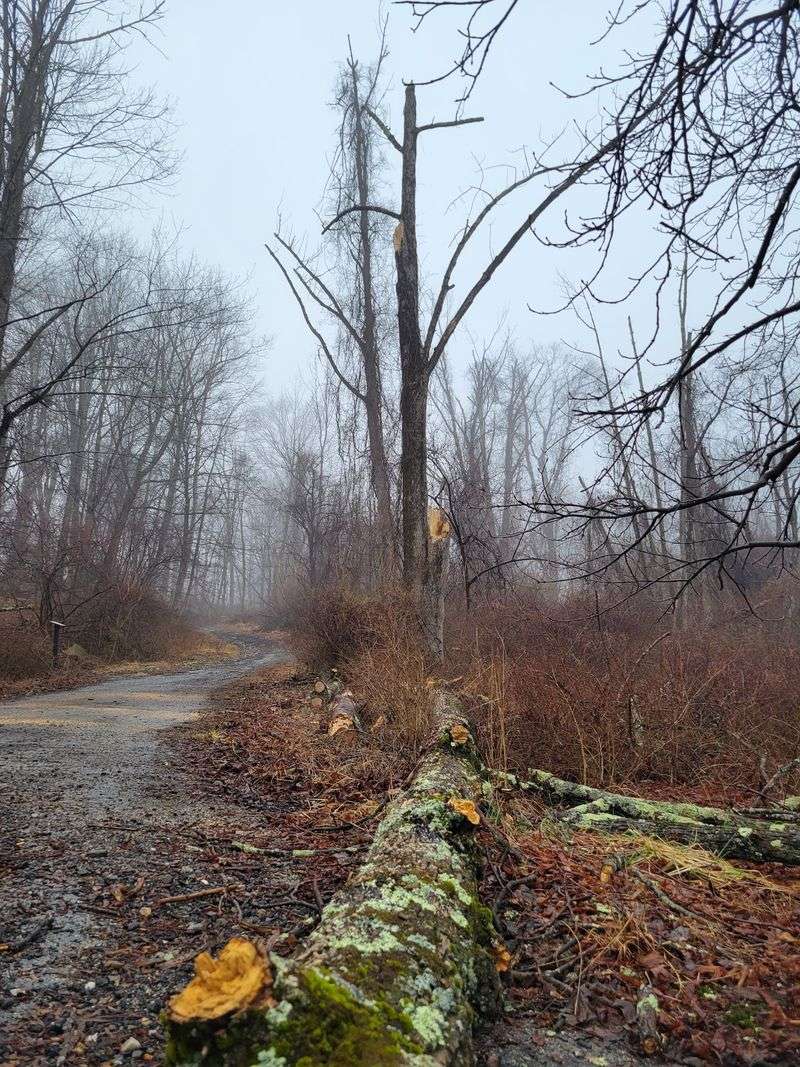
Parks need land, and Doodletown had plenty of it. Bear Mountain State Park began taking shape in the early 1900s. Around 1920, the Palisades Interstate Park Commission started buying properties in Doodletown.
The change happened slowly at first. By the 1950s, most residents had already moved away. A few families held on as long as they could.
Those last holdouts lost their land through eminent domain by 1965. That legal process let the government take property for public use. It ended the hamlet’s long run.
Most buildings were torn down or taken apart by the late 1960s. One stone schoolhouse survived as a hikers’ shelter. Sadly, repeated damage led to its removal in 1980.
So please, leave no trace when you visit. Every remaining wall and step tells part of this story. Once it’s gone, it can’t be rebuilt.
It’s a bittersweet chapter, for sure. The park gave millions of people open space to enjoy. Yet a real community gave up its homes for that to happen.
Keeping both sides in mind makes the visit richer and more thoughtful.
Bring Binoculars, Because The Birds Run This Place Now
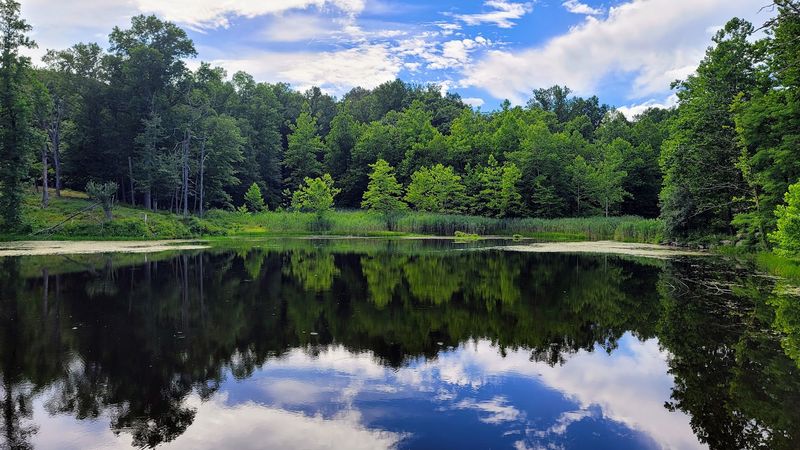
The new residents have feathers. In 1997, Doodletown and nearby Iona Island were recognized as an Important Bird Area. The area received its New York State Bird Conservation Area designation in 1998.
Those honors make this valley a favorite stop for birders. Quiet woods, brooks, and old clearings create plenty of habitat. Birds clearly approve of the neighborhood.
Plant lovers enjoy the area too. Botanists come to study what grows along the old roads and stone walls. Nature has slowly reclaimed the yards and gardens.
Want to make the most of it? Pack binoculars and a simple bird guide or app. Early mornings tend to suit bird watching best, since many birds sing actively then.
Move slowly and keep chatter low. Birds spook easily, and patience usually pays off. Even beginners can spot something exciting with a little stillness.
I like how the valley found a second purpose. It’s no longer a town for people, but it’s buzzing with life anyway. Every chirp feels like a small reminder that empty doesn’t mean silent.
Not bad for a place with such an eerie name.
Trails, Mines, And A Pond That Wasn’t Always There
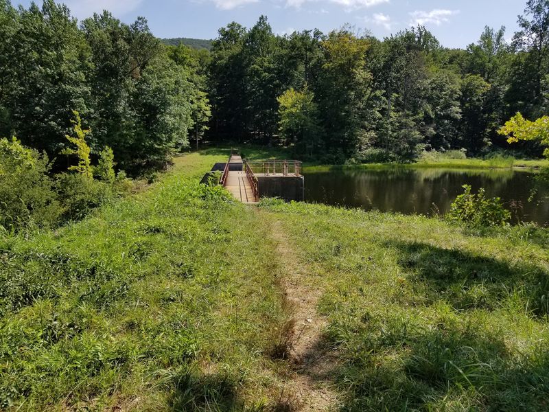
Hiking here means exploring two maps at once. One is the trail system, and the other is the old town layout. Many paths follow former roadways once used by residents.
Look closely for small side trails. Some lead to the remains of old iron mines. They point back to the work that once kept local families fed.
Keep a safe distance from any mine openings. Old sites can be unstable, so admire them from solid ground. No photo is worth a twisted ankle.
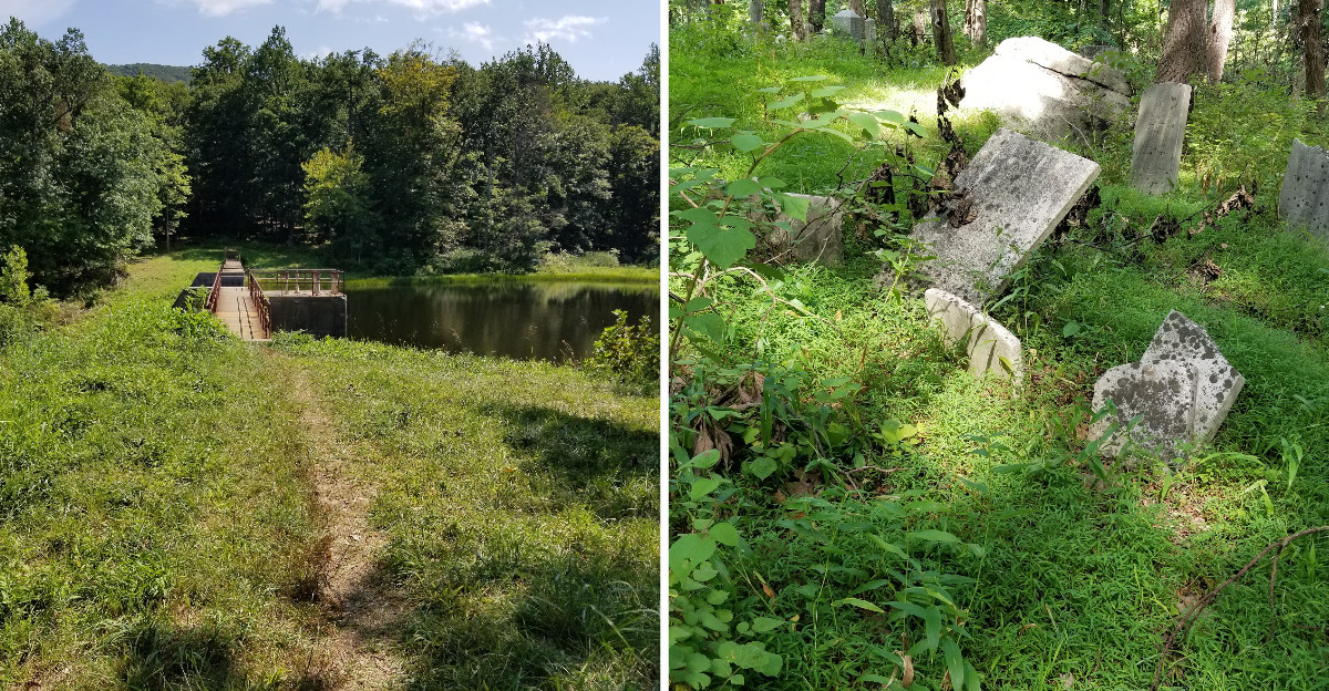
Then there’s the pond. In the early 1970s, a dam went up on the Timp Brook. It created a sizable pond within the area.
That means today’s landscape differs from what residents knew. A spot that once held fields or brush may now hold water. Nature and engineering both left fingerprints.
Wear sturdy shoes, since the ground can be rocky and uneven. Carry water and snacks, because there’s no general store anymore. Give yourself extra time to wander, too.
The best finds often sit just off the main path, waiting for patient explorers.
Finding Your Way In Takes A Little Planning
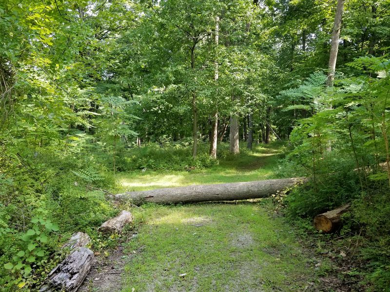
Getting here is half the adventure. Doodletown, NY doesn’t have a front gate or a welcome sign. Instead, hikers use a few trailheads around the edges.
A popular parking spot sits along Route 9W, Tomkins Cove, NY 10986. Another option is Lemon Road off Seven Lakes Drive. You can also approach from the Doodletown trailhead near Doodletown Brook, across from Iona Island in Bear Mountain State Park, where trail access is permitted.
Pick your entry point based on how far you want to walk. Each one offers a different start to the journey. A park map helps you link the sites together.
Remember the storm news, though. Summer 2023 storms caused serious damage across parts of Bear Mountain and Harriman State Parks. The Cornell Mine Trail reopened in October 2025, while restoration of additional Doodletown trails was scheduled for completion in late 2026.
Before heading out, check current updates from the park commission. Never ignore posted closure signs. They’re there to keep hikers safe from washed-out trails.
When the woods welcome visitors again, this corner of New York deserves a spot on your list. Few hikes mix history, birds, and mystery quite like this one. Just bring curiosity and respect.