
Changing Water Levels Can Reveal The Lost Roads Beneath This Massachusetts Lake
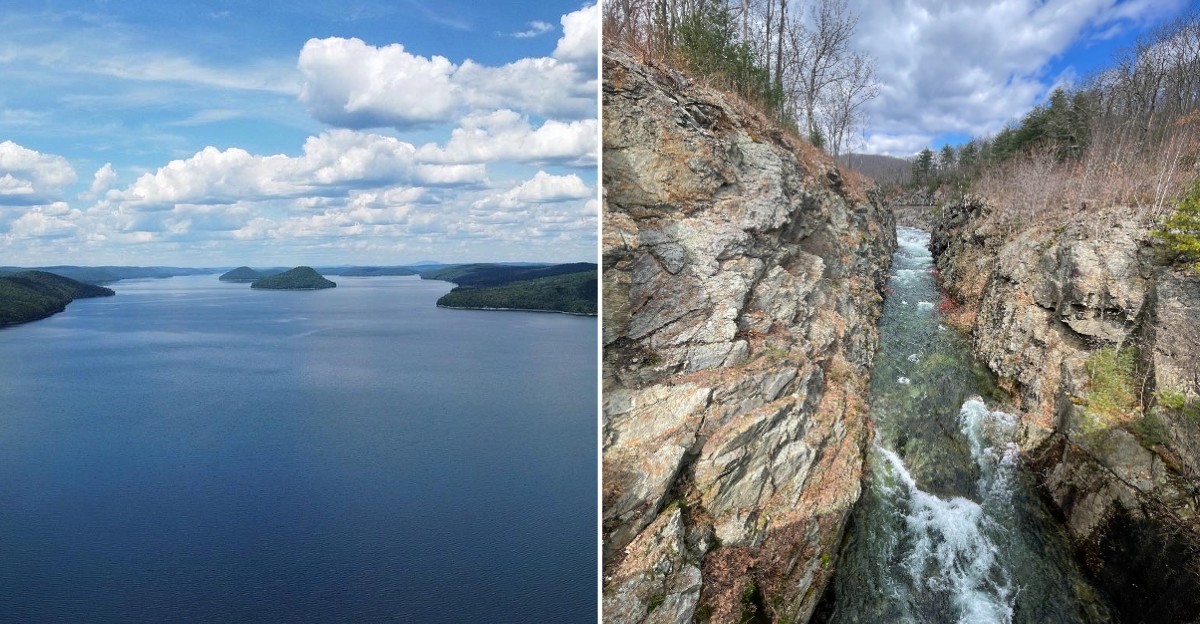
Four entire towns were cleared and then covered by water, and their old roads still show up when the water drops. Yes, real roads with real stone walls beside them.
The last residents had to leave by April 1, 1938. Weeks later, the towns officially stopped existing.
Then the valley slowly filled until 1946.
Today, when dry spells pull the shoreline back, old pavement and cellar holes can peek out. Granite steps and stone fenceposts appear too.
It feels like the past is clearing its throat.
The funny thing is, this spot is mostly known for drinking water. It supplies millions of people across Massachusetts.
Yet it also holds one of the strangest stories in New England.
I’ve come to realize the quiet here is part of the magic. There are no crowds of buildings, only forest, water, and clues.
What exactly is waiting along those vanishing roads?
Old Roads Slip Out Of The Water When Levels Fall
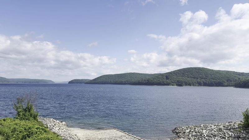
Roads that once carried wagons and cars now lead straight into the water. At Quabbin Reservoir, low levels can expose these old routes again.
The reservoir rises and falls with rain, snowmelt, and runoff from the watershed. When dry stretches pull the water back, the past gets a little more visible.
Route 21 is a famous example. It once linked Belchertown, Enfield, and Dana before the valley flooded.
Along shorelines and trails, you might spot cellar holes and granite steps. Stone fenceposts and walls can show up too, marking where yards and farms once stood.
Water levels change year to year, so nothing is promised on any single visit. That uncertainty is part of the fun, a bit like a history lesson with a surprise schedule.
Please treat everything you find with respect. These remnants belonged to real families, and they tell a story nobody wants erased.
Leave items exactly where they rest for the next curious visitor. Photos make the best souvenirs here, and they won’t get you into trouble with a ranger.
Four Towns Gave Up Everything For A Glass Of Water
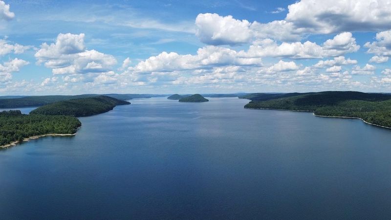
Dana, Enfield, Greenwich, and Prescott sound like a law firm. They were actually four small towns in the Swift River Valley.
Boston needed more water, and the valley looked perfect for a giant reservoir. The Swift River Act made the project legal in 1927.
About 2,500 residents had to move away. They were ordered to leave their homes by April 1, 1938.
On April 28, 1938, all four towns were officially disincorporated. Just like that, their names disappeared from the map of Massachusetts.
Families packed up farms, shops, and churches they had known for generations. Many buildings were moved or taken down before the water arrived.
Even the cemeteries were relocated. Around 7,613 graves from 34 cemeteries were carefully moved to the new Quabbin Park Cemetery in Ware.
Knowing this changes how the shoreline looks. Every stone wall poking from the water once divided someone’s pasture or garden.
The story is bittersweet, and that’s exactly why it sticks with people. Huge projects always have a human cost, and this valley paid a large one.
Your Best Shot At Seeing A Lost Town Is A Quiet Walk To Dana Common
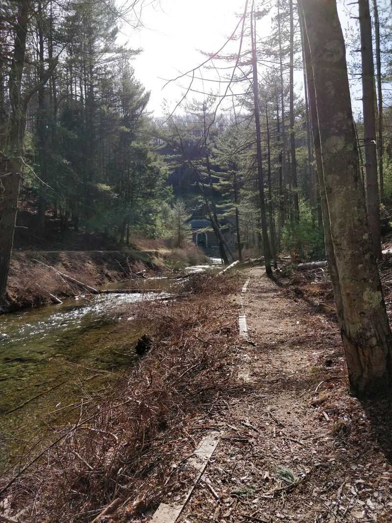
Most lost towns sit underwater, but one village center stayed dry. Dana Common rests just above the waterline, and you can walk right into it.
The route starts at Gate 40 off Route 32A in Petersham. From there, Old Dana Road runs about 1.7 miles to the common.
That’s an old town road, so you’re literally following the path residents once used. Not many hikes come with that kind of backstory.
At the common, look for cellar holes and stone foundations. They hint at where homes and community buildings once stood.
The walk itself is fairly gentle for most hikers. Still, wear sturdy shoes and bring water, since there are no shops waiting at the end.
Ticks love this part of Massachusetts too. Long sleeves, repellent, and a quick check afterward will save you an itchy evening.
Remember that dogs aren’t allowed anywhere on Quabbin Reservoir lands. Leave your pup home for this one, even in the car.
Standing in that quiet clearing feels surprisingly powerful. Bring a little imagination, and the old village starts filling itself back in.
Two Earthen Giants Hold Back An Ocean Of Drinking Water
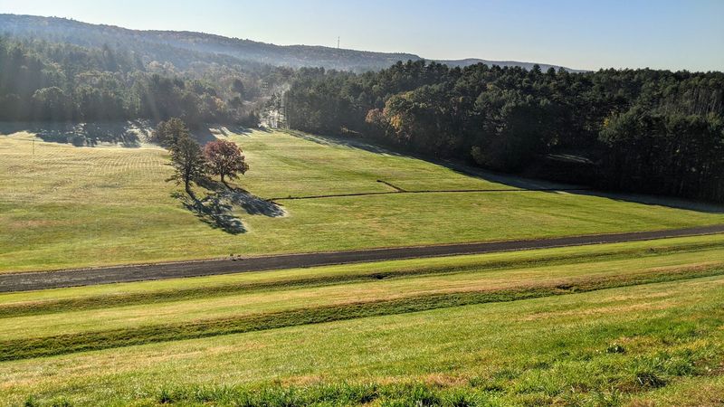
Hidden under grass and gravel, two massive dams make the whole place possible. Winsor Dam and Goodnough Dike were built between 1930 and 1939.
Both are earthen dams, so they look more like long green hills than concrete walls. That makes them oddly peaceful spots for a stroll.
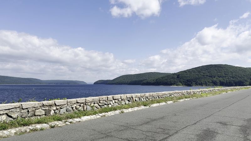
Walking across Winsor Dam gives you big water views on one side. The other side drops toward the valley below, which is a fun perspective shift.
Goodnough Dike is another favorite walking area. Its path crosses the dike with wide views over the water.
While those dams went up, crews also built the Quabbin Aqueduct. That 25-mile tunnel carries water toward the Wachusett Reservoir.
The reservoir filled faster than expected, reaching capacity by June 1946. Boston first received Quabbin water on June 22 of that year.
Total capacity sits around 412 billion gallons. Try picturing that many milk jugs, then give up gracefully.
Bicycles are allowed on designated routes in this area. Just keep an eye on posted signs, since rules here protect water for millions of people.
Start At The Visitor Center Before The Shoreline Starts Asking Questions
Exhibits come before exploring for a smart reason. The DCR Quabbin Visitor Center explains how the reservoir was built and what it replaced.
You’ll find it at 100 Winsor Dam Rd, Belchertown, MA. It’s near Winsor Dam, making it an easy first stop.
Inside, displays cover construction, environmental impact, and the valley’s history. Seeing the lost towns explained first makes every stone wall later feel more meaningful.
Hours typically run Thursday through Tuesday, 8:30 a.m. to 4:30 p.m. The center usually closes on Wednesdays, so plan around that.
The building has been undergoing renovation work. Checking the DCR’s latest updates before you go can save you a disappointing drive.
Porta-potties are available at various parking lots around the park. Not glamorous, but very appreciated after a long walk.
Gates to Quabbin Park lock overnight, and rangers sweep the area. Leave with time to spare unless you fancy a very awkward conversation.
The DCR also offers an interactive map online and as an app. It shows public access roads and trails, which beats guessing at every gate.
The Views From Quabbin Hill And The Lookouts Are Worth The Short Drive
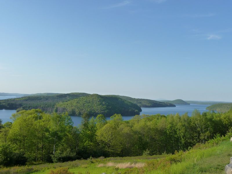
Somewhere below those sweeping views sits the old town of Enfield. Enfield Lookout lets you gaze across the water covering it.
The scene is all forested hills and scattered islands. Many of those islands were once hilltops in the valley.
New Salem Lookout offers another wide view of the reservoir. Both make great places to pause, snap photos, and soak up the quiet.
Quabbin Hill is famous for its stone Observation Tower. The tower has been closed since 2020 because of structural problems and is being renovated.
Good news, though. You can still enjoy panoramic views from around the tower’s base.
Autumn color makes these overlooks especially striking. Still, winter brings its own charm, sometimes with ice spreading across the water.
Bring binoculars if you own a pair. Distant shorelines and soaring birds look much better up close.
Picnics are popular here, but grills, stoves, and fires aren’t allowed. Pack sandwiches instead of burgers, and you’ll fit right in.
Bald Eagles Made A Comeback Over The Drowned Valley
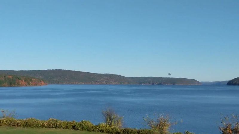
Back in 1982, bald eagles were reintroduced here. They had been endangered, and Quabbin became part of their recovery story.
Today, the reservoir is the largest inland body of water in Massachusetts. Its huge protected forests give wildlife plenty of room.
Common loons call across the water. Moose, deer, coyotes, black bears, and bobcats roam the surrounding woods.
Those forests do more than shelter animals. They help filter the water and keep it clean for millions of people.
The Prescott Peninsula is restricted as a wildlife habitat and research area. Nature gets some true privacy there.
Bird watching is welcome across public areas. Patience and quiet footsteps will reward you more than rushing.
Bears live here, so making noise while hiking is wise. Talking, clapping, or carrying a whistle helps avoid surprise encounters.
Drones are banned, which keeps the skies calm for the eagles. Honestly, they’d probably prefer it that way anyway.
Spotting an eagle above water that once covered streets feels unforgettable. It’s a reminder that new stories keep forming here.
Know The Rules Because This Water Ends Up In Boston Faucets
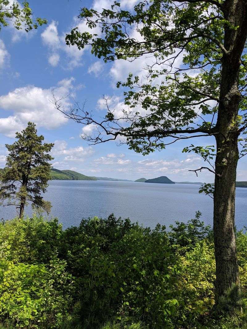
Turn on a tap in Boston, and you might be sipping Quabbin water. The reservoir is the main supply for Boston and dozens of nearby communities.
It serves roughly 2.5 to 3 million people. That’s a big chunk of everyone in Massachusetts.
Because of that, the rules here are strict. Swimming, camping, fires, grilling, drones, and horseback riding are all prohibited.
Dogs aren’t allowed on any DCR Quabbin lands, even in parked cars. It feels tough, but it protects the water.
Plenty of activities remain open. Hiking, walking, bird watching, snowshoeing, and biking on designated routes are all welcome.
Water levels matter too. During dry stretches, the reservoir can slip into below-normal status, prompting requests for voluntary water conservation.
That lower water is also why old roads and walls can appear. History reveals itself when the reservoir runs a little thin.
The system was designed to handle short and medium droughts. Still, shorter showers at home never hurt anyone.
Following the rules keeps this place open and clean. Everyone downstream will thank you, even if they never know it.
Cast A Line Where Main Streets Used To Run
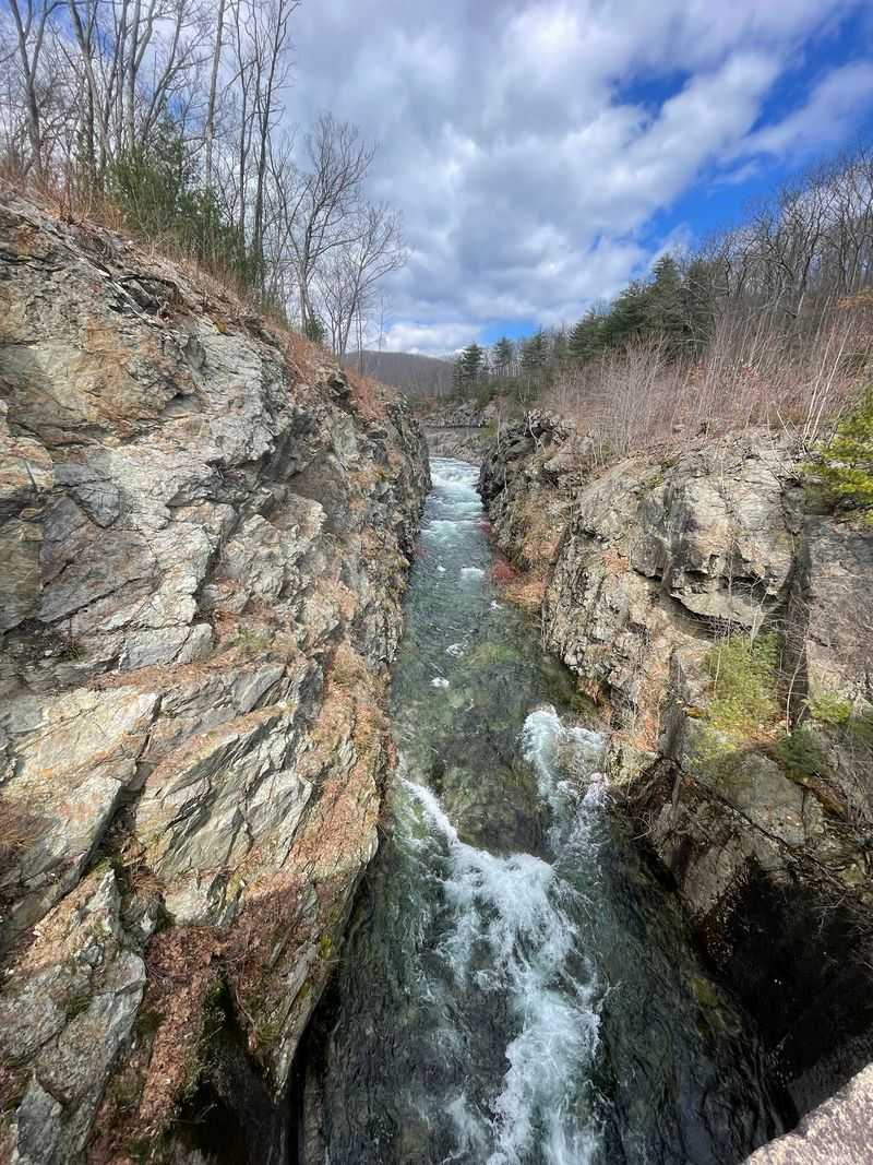
Fishing over a sunken village is a strange idea. At Quabbin, anglers do it every open season.
Shore fishing is allowed in designated areas during the fishing season, which in 2026 runs through December 31 as long as the reservoir stays free of ice.
Boat fishing runs from mid-April to mid-October through three designated boat launch areas, so the boats have already wrapped up for this year.
Rental boats are another option at the launch areas. Check current DCR details before planning your trip.
Health advisories apply to eating certain fish species. Mercury levels are elevated in some fish, though drinking water quality isn’t affected.
Many anglers simply enjoy the calm. With over 180 miles of shoreline, finding a quiet spot rarely takes long.
Hank’s Meadow is one access spot known for easy walks to the water. It’s a nice choice for a relaxed day trip.
Somewhere beneath your boat may sit an old road or farm wall. Not every catch is a fish, but the stories come free.
Quabbin Reservoir rewards curiosity in every season. Come for the views, stay for the history, and keep watching the waterline.