11 Legendary Colorado Mountain Road Trips That Belong On Your Bucket List
Renowned for their dramatic scenery, Colorado’s mountain roads rank among the most awe-inspiring drives in the country.
Rising to sky-high elevations and weaving through vibrant canyons, each route delivers jaw-dropping views and memorable moments at every turn.
No matter the season—golden fall foliage, blooming summer meadows, or winter’s snow-draped summits, these eleven legendary road trips promise lasting impressions and an irresistible urge to explore more.
1. San Juan Skyway
Picture yourself cruising through 236 miles of pure mountain magic in southwestern Colorado.
This incredible loop connects historic mining towns like Durango, Telluride, and Ouray while treating you to some of the most jaw-dropping scenery in America.
Red rock cliffs give way to golden aspens, and every turn reveals something extraordinary.
The route climbs over three mountain passes, including the famous Million Dollar Highway stretch.
Plan for at least two days to truly soak it all in and explore charming mountain communities along the way.
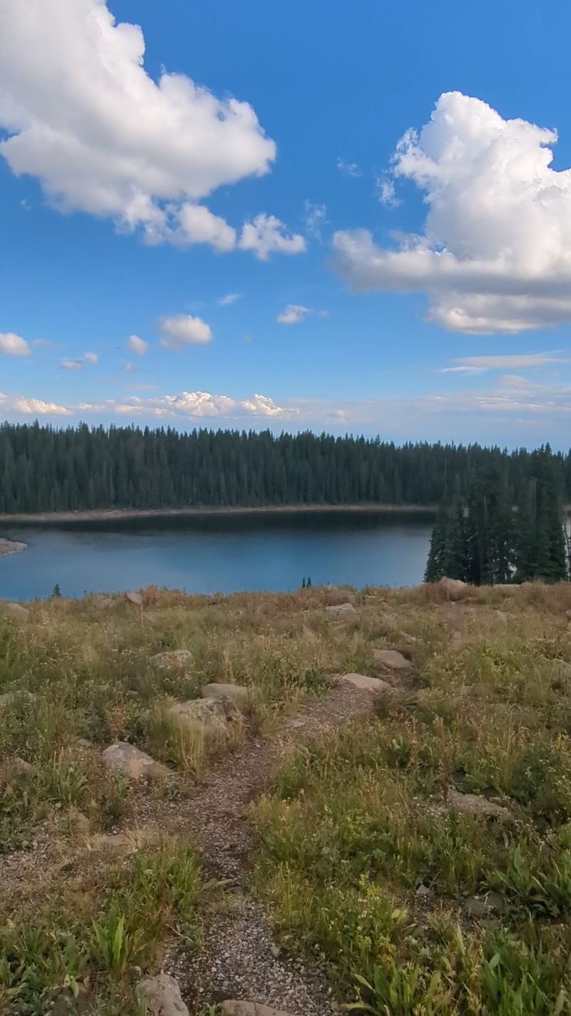
2. Trail Ridge Road
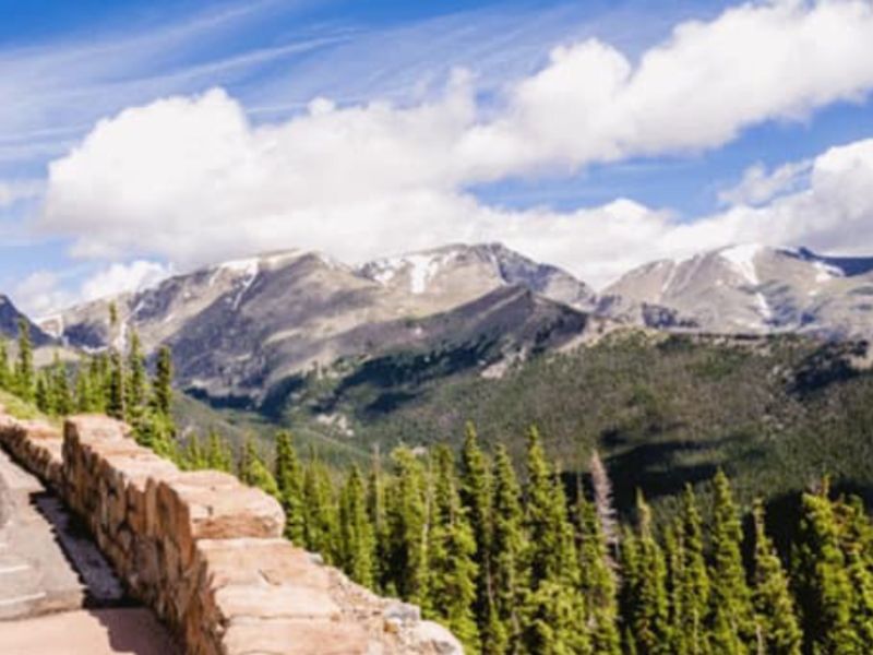
Reaching 12,183 feet above sea level, this is America’s highest continuous paved road.
Trail Ridge Road slices through Rocky Mountain National Park, offering eleven miles above the treeline where you’ll feel like you’re driving through the sky itself.
Elk and bighorn sheep often graze right beside the pavement.
The 48-mile route connects Estes Park to Grand Lake, typically opening late May through mid-October depending on snowfall.
Bring warm layers because temperatures drop fast at altitude, even during summer months.
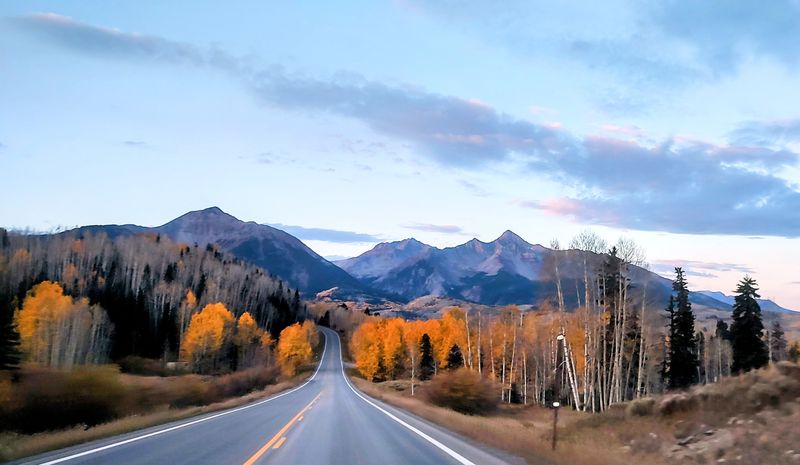
3. Independence Pass
Buckle up for one of Colorado’s most thrilling mountain crossings between Aspen and Twin Lakes.
Independence Pass tops out at 12,095 feet on the Continental Divide, delivering heart-pounding switchbacks and views that’ll make your jaw drop.
Wildflowers blanket the alpine meadows in July, creating a colorful carpet across the landscape.
The narrow, winding road closes each winter, usually from early November through late May.
Take your time on the steep grades and tight curves—this drive rewards patience with unforgettable memories.
4. Peak To Peak Scenic & Historic Byway
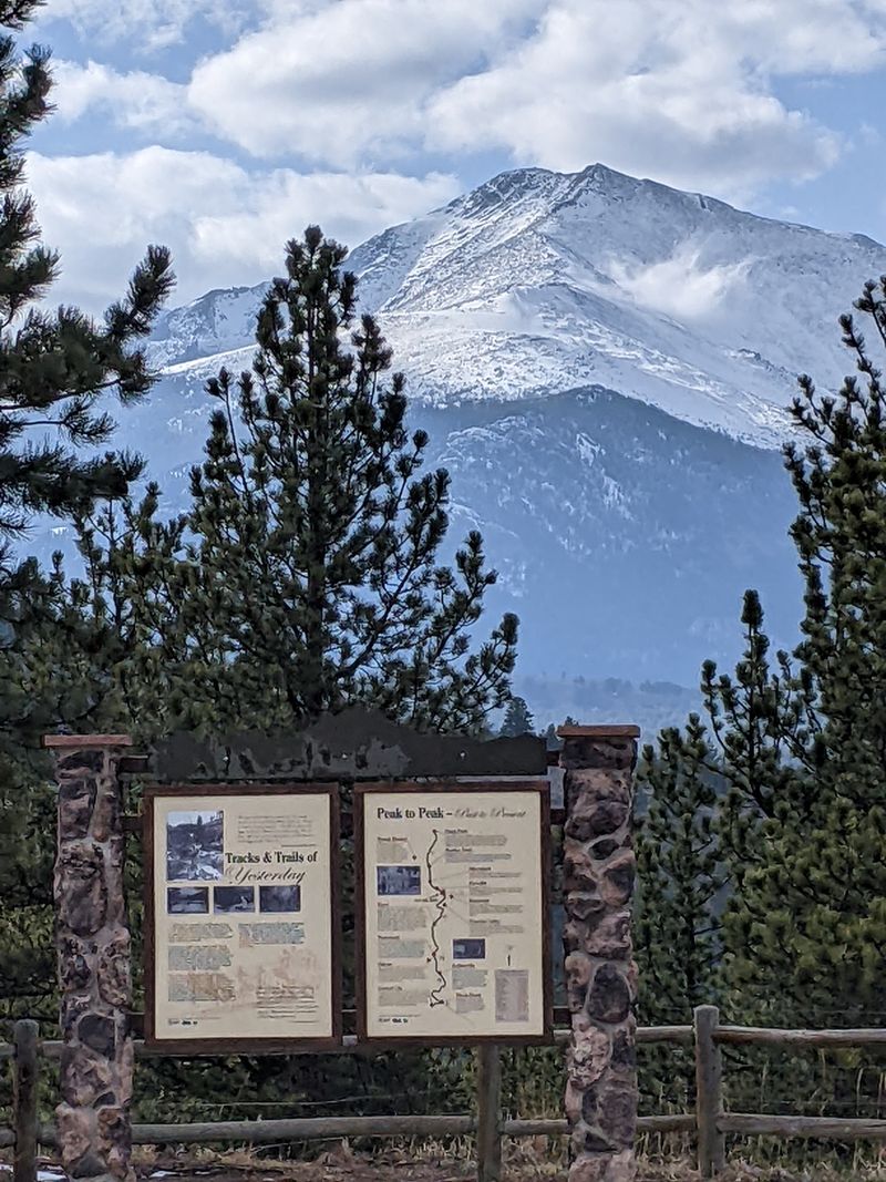
Running 55 miles from Estes Park to Black Hawk, this historic route showcases the Front Range’s greatest hits.
You’ll cruise past old mining camps, charming mountain towns, and endless views of the Indian Peaks and Continental Divide.
Nederland, Ward, and Allenspark make perfect stops for grabbing lunch or exploring local history.
The road stays open year-round, though winter driving requires extra caution and proper tires.
Autumn transforms the mountainsides into a golden wonderland that attracts photographers from everywhere.
5. Guanella Pass Scenic Byway

Only 22 miles separate Georgetown from Grant, but this compact route packs serious alpine punch.
Guanella Pass climbs to 11,669 feet, offering close-up encounters with fourteeners like Mount Bierstadt and Mount Evans.
Mountain goats frequently wander across the road near the summit, so keep your camera ready.
Fall brings spectacular aspen displays that rival anything you’ve seen before.
The mostly paved road handles regular vehicles just fine, making this accessible adventure perfect for families seeking high-altitude thrills without extreme difficulty.
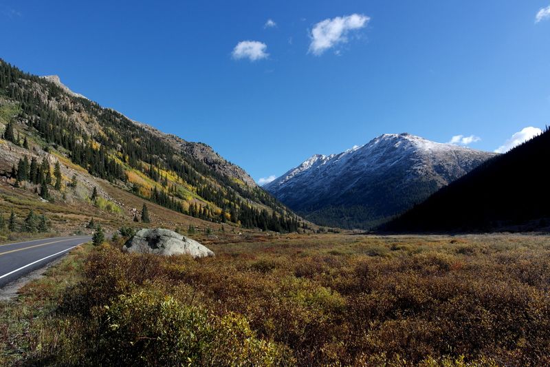
6. Collegiate Peaks Scenic Byway
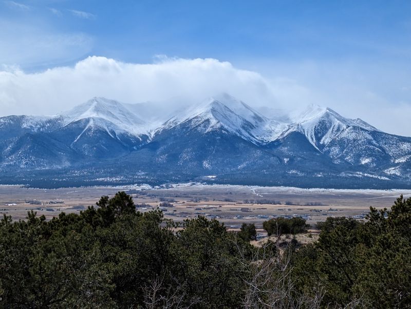
Did you know this 57-mile stretch passes more fourteeners than any other Colorado byway?
Eight peaks over 14,000 feet tower above the Arkansas River Valley between Leadville and Poncha Springs, creating a mountain lover’s paradise.
Cottonwood Pass adds an optional side trip climbing to 12,126 feet with panoramic vistas.
Historic mining heritage blends with outdoor recreation opportunities including world-class whitewater rafting.
Summer wildflowers paint the valleys purple and yellow, while autumn aspens glow gold against granite peaks.
7. West Elk Loop
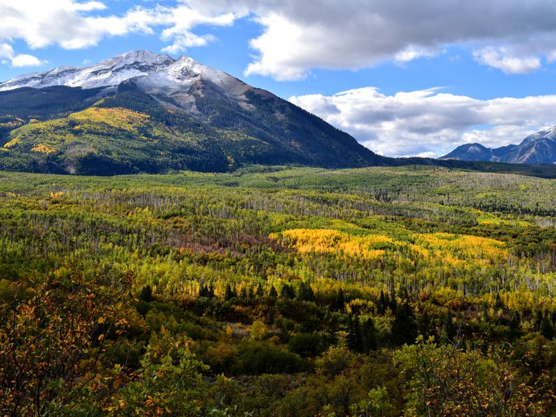
Crested Butte sits at the heart of this 205-mile adventure through some of Colorado’s most underrated scenery.
The loop combines four different byways, showcasing volcanic rock formations, massive aspen groves, and the Black Canyon of the Gunnison.
Kebler Pass features the largest aspen forest in North America—absolutely magical during September’s color show.
Small towns like Paonia and Hotchkiss offer farm-fresh produce and genuine Western hospitality.
Allow two full days minimum to appreciate everything this diverse route delivers.
8. Colorado River Headwaters Scenic Byway
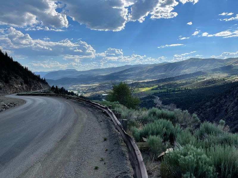
Ever wondered where the mighty Colorado River begins its 1,450-mile journey to the Gulf of California?
This 69-mile route from Granby to State Bridge follows the river’s humble beginnings through pristine mountain valleys and ranchlands.
World-class fly fishing opportunities line the entire corridor.
Hot Sulphur Springs offers a relaxing soak after hours behind the wheel.
Wildlife viewing reaches peak levels during dawn and dusk when moose, elk, and deer emerge to feed in riverside meadows.
9. Flat Tops Trail Scenic Byway

Remote doesn’t even begin to describe this 82-mile journey through the Flat Tops Wilderness Area between Meeker and Yampa.
The distinctive flat-topped mountains create a landscape unlike anything else in Colorado, formed by ancient volcanic activity.
Ripple Creek Pass reaches 10,343 feet, opening views across endless wilderness.
Trappers Lake, often called the “Cradle of Wilderness,” inspired America’s wilderness preservation movement.
Services are extremely limited along this route, so fuel up and pack snacks before departing civilization.
10. Grand Mesa Scenic Byway
The world’s largest flat-topped mountain rises 10,000 feet above sea level, hosting over 300 lakes across its 500-square-mile surface.
This 63-mile byway climbs from Cedaredge through layers of ecosystems, from desert scrublands to alpine forests.
Fishing enthusiasts go crazy for the countless trout-filled lakes scattered across the mesa.
Winter transforms the area into a snowmobiling and cross-country skiing paradise.
Land’s End Road extends to dramatic clifftop overlooks where you can see across three states on clear days.
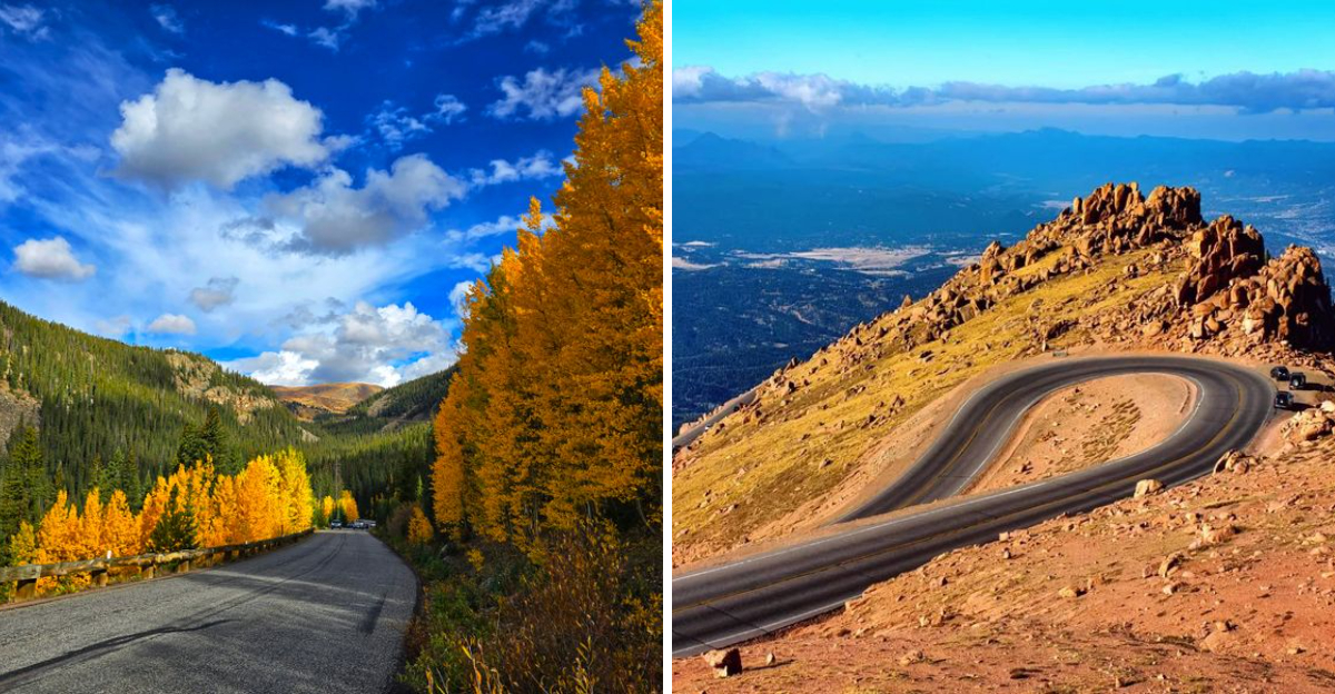
11. Pikes Peak Highway
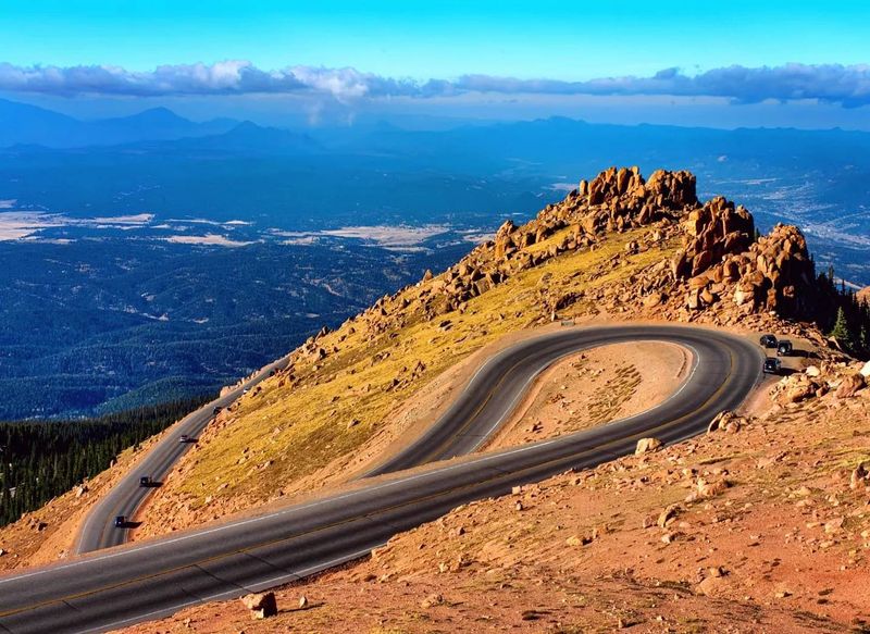
America’s Mountain delivers exactly what its nickname promises—a 19-mile climb to 14,115 feet where the view inspired “America the Beautiful.”
The newly paved highway makes reaching the summit easier than ever, though the elevation still takes your breath away literally and figuratively.
Marmots and pikas scurry among the rocks near treeline.
The summit house serves hot donuts that taste incredible in the thin air.
Start early morning to avoid afternoon thunderstorms that frequently roll across the peak during summer months.