
9 Massachusetts Hiking Trails Where Black Bears Are Especially Active In Late Summer
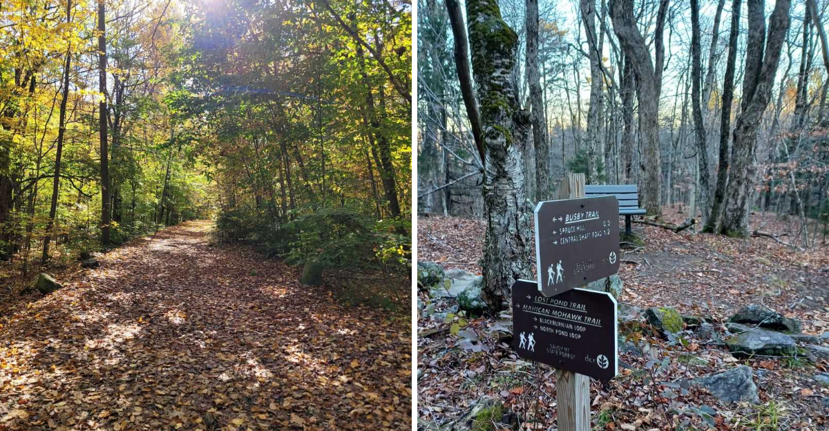
Late summer changes the mood on a Massachusetts hiking trail. Berry patches are fuller, acorns start dropping, and black bears spend more time moving through the woods in search of food before colder weather arrives.
That does not mean every hike turns into a wildlife encounter, but it does make certain forested routes worth approaching with extra awareness. Trails through the Berkshires and other parts of western Massachusetts pass through some of the strongest bear habitat in the region.
Dense woods, mountain ridges, streams, and seasonal food sources all give bears plenty of reasons to stay active nearby. For hikers, that adds a little extra excitement to an ordinary day on the trail.
It also means paying attention, making noise when visibility is poor, and keeping food secured. These routes are beautiful in late summer, but they are also places where sharing the landscape matters.
1. Benedict Pond Loop Trail, Monterey
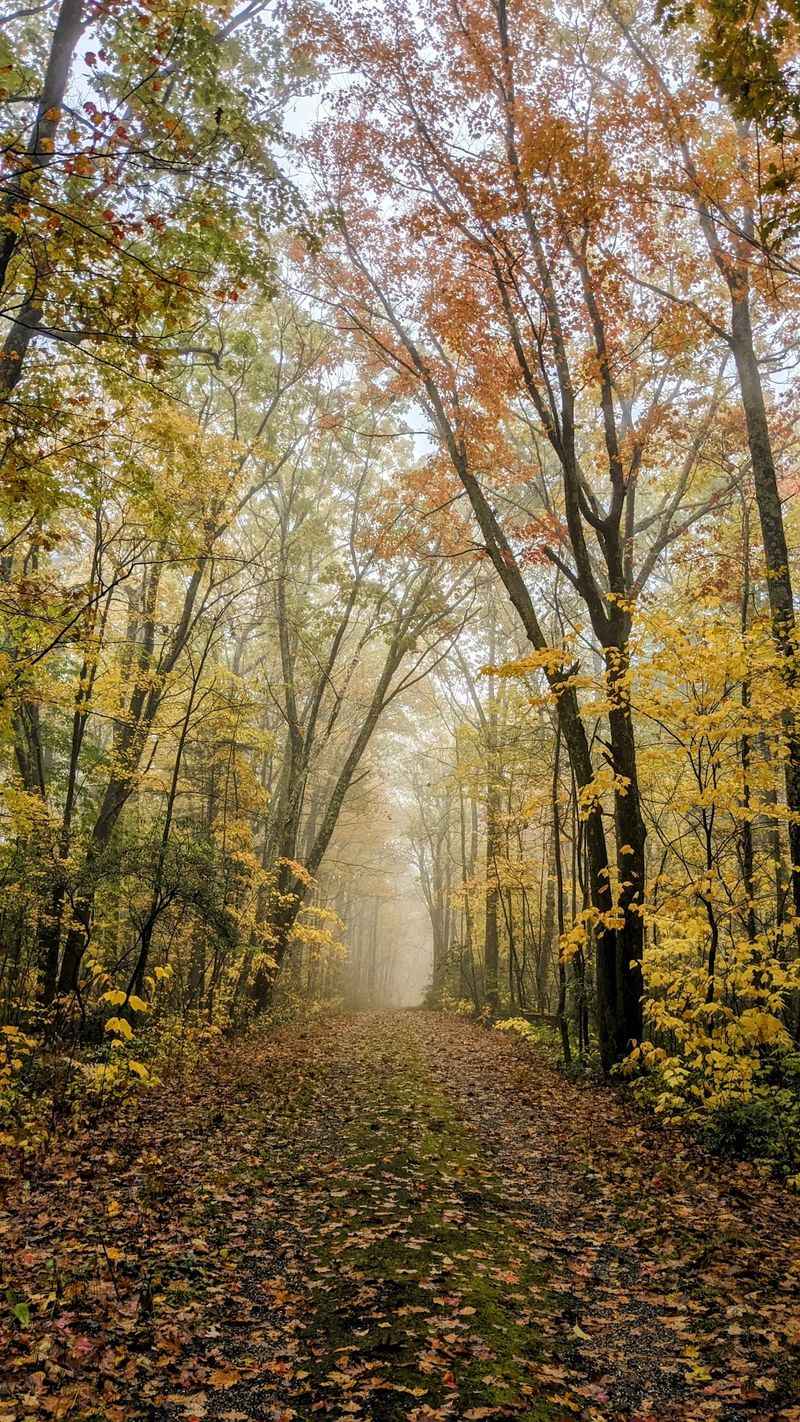
Water plus berries equals bears, and Benedict Pond Loop Trail has plenty of both. The path wraps around a quiet pond in Monterey, dipping through blueberry patches and thick shrubs.
Late summer is when those berries hit peak sweetness. Bears wander in during early morning and again near dusk, feeding low to the ground where the fruit grows thickest.
The trail itself stays friendly for families. Roughly a mile and a half of mostly flat walking, with roots and a few boardwalk sections over wet spots.
Because the brush grows close to the path, sightlines shrink. Talk with your group, clap now and then, and skip the headphones so your ears can do their job.
Swimmers often stop at the beach area, which means food. Coolers and snack bags left unattended send exactly the wrong message to a curious animal.
If a bear appears, stand tall and back away slowly along the trail. Never run, and never wedge yourself between a mother and her cubs.
Reflections on the pond at sunrise are worth the early alarm. Just remember you are not the only one enjoying breakfast by the water that morning.
2. Gould Trail, Adams
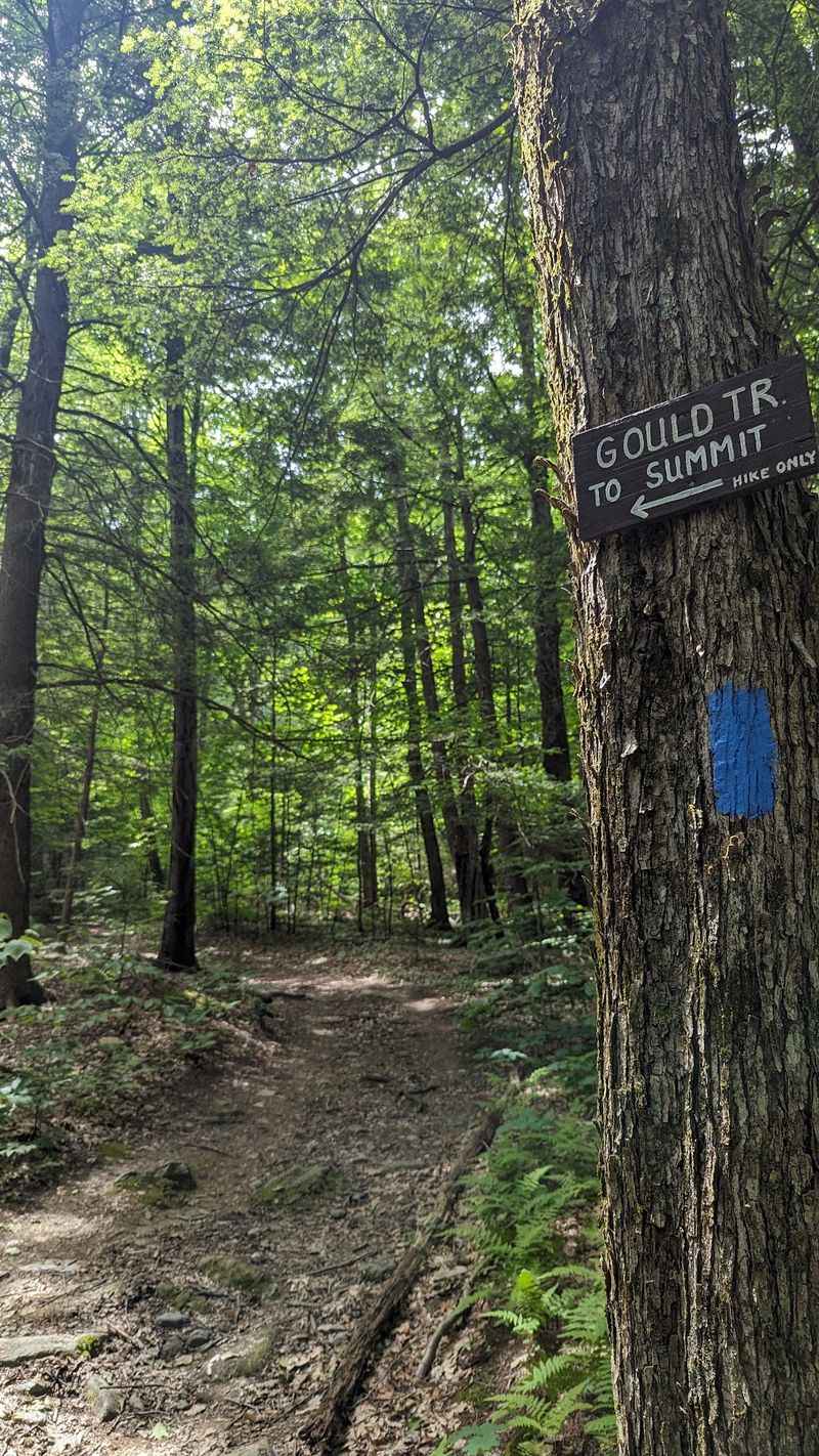
Steep, rocky, and gloriously green, this climb starts in Adams and pushes up the eastern flank of the state’s tallest mountain. Bears like the lower slopes best.
Berry bushes crowd the sunnier openings, and mountain streams keep everything lush. Feeding season turns those pockets into busy dining rooms.
Expect a workout. The route gains serious elevation, passing near Peck’s Falls before joining trails that lead toward the summit ridge.
Switchbacks and thick undergrowth mean you can round a corner and meet something large. Keep conversation going, especially on windy days when sound scatters.
Hikers sometimes stash a snack break at the falls. Pack every wrapper out, because crumbs teach bears to associate people with easy meals.
Should you spot one, stop and give it space. Most bears here want nothing to do with you and will slip into the brush within seconds.
Photograph from a distance, never approach for a better angle. A telephoto lens or a phone zoom keeps everyone comfortable.
The reward at the top is a wide Berkshire view. Getting there through prime bear country simply adds a little healthy alertness to your day.
3. Mohican-Mohawk Trail, Charlemont
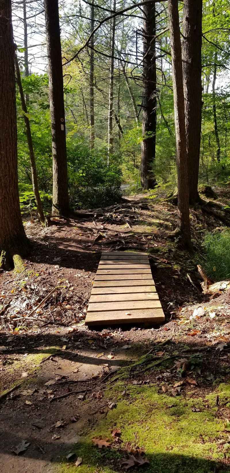
Rivers are highways for wildlife, and this route follows the Deerfield through Charlemont. Bears use the corridor to travel, drink, and forage.
Historic roots run deep at Mohican-Mohawk Trail. The path traces sections of an old Native American travel route between the Connecticut and Hudson valleys.
Terrain shifts often. You will walk sandy river flats, then climb into hemlock groves where the ground goes soft and quiet under your boots.
Quiet is lovely until it hides your approach. Add a bell, a bit of conversation, or an occasional call out on blind bends.
Berry canes thrive along the sunny riverbanks. In August those thickets are working overtime, feeding birds, bears, and anyone with purple fingers.
River crossings and washouts can reroute the path after storms. Check conditions before you commit to a long day.
Should you meet a bear near the water, back away and let it have the shoreline. Bears rarely defend a spot, they simply relocate.
Anglers share this stretch too. Fish scraps left behind attract more than raccoons, so pack out everything you brought in. Cool mist off the river makes late summer heat almost pleasant.
4. Dunbar Brook Trail, Florida And Monroe
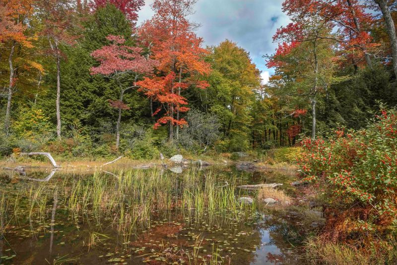
Boulders the size of cars line this brook, and moss covers almost everything. The trail threads between the towns of Florida and Monroe in the state’s northwest corner.
Wild does not begin to cover it. Old-growth hemlock and hardwood stands here rank among the least disturbed forests in Massachusetts.
Bears thrive in that kind of solitude. Water, dense cover, and abundant food make the drainage a natural home range.
Footing demands attention. Roots, wet rock, and steep side slopes keep your eyes down when they should sometimes be up.
Rushing water masks noise in both directions. Pause at bends, look ahead, and let your voice carry. Cell service is unreliable, so tell someone your plan. Carry a map rather than trusting a screen.
Backcountry campsites sit along the brook. Hang food well away from where you sleep, and rinse cookware downstream.
A bear that huffs or clacks its jaws is asking for room. Give it immediately, moving away without turning your back fully.
Few places in the state feel this untouched. The rewards are cool air, clear pools, and the sense you have wandered far off the map.
5. Busby Trail To Spruce Hill, Florida
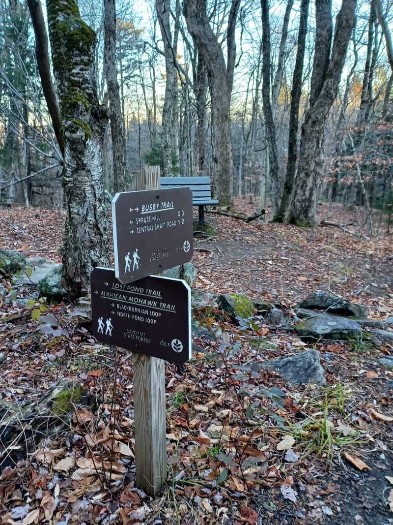
Blueberries carpet the summit, and that single fact explains everything about bear activity here. The Busby Trail climbs from the town of Florida up to Spruce Hill.
Around a mile and a half of steady walking gets you to open ledges. The payoff is a broad view west toward the Hoosac range.
Bears climb for the same reason you do, though their interest is edible. Low bushes near the top feed them heavily in August.
Hawk watchers gather on these ledges during migration. Sitting still for hours means staying alert to what walks up behind you.
Foragers should share generously. Picking a few berries is fine, stripping a patch is not, and lingering there is unwise.
Old stone walls and cellar holes line the lower trail, leftovers from long-gone farms. Nature has thoroughly reclaimed the neighborhood.
Keep children close on the upper section where brush crowds the path. A visible group is far less likely to surprise anything. Warm rock, wide sky, and a horizon full of hills make the climb worthwhile. Just watch where you plant your hands.
6. Trail Of The Ledges And Overbrook Loop, Lenox
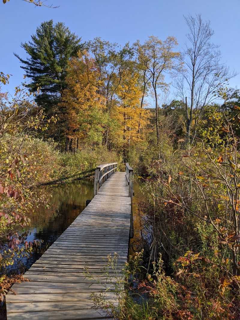
Rock staircases and mossy ledges make this Lenox loop feel like a natural fortress. Bears navigate it easily, which surprises hikers every time.
The route climbs toward Lenox Mountain through a mix of beech, oak, and hemlock. Steep sections require hands as well as feet.
Beech trees matter enormously. Their nuts are a favorite food, and old claw marks on smooth gray bark prove bears have been climbing for years.
Descending on the Overbrook side follows a stream through cooler, shadier woods. Wildlife tracks show up clearly in the damp soil. Trail traffic runs moderate, so you may share a bend with a startled animal. Steady noise solves most of that.
Beaver ponds near the trailhead add another layer of activity. Watch from the boardwalk rather than pushing into the brush.
Sanctuary rules ask visitors to stay on marked paths. Following them protects habitat and reduces surprise meetings.
A tower once stood at the summit, and the view still opens through gaps. Bring water, because the climb is warmer than it looks. Few loops pack this much variety into a few miles.
7. Appalachian Trail Through October Mountain State Forest, Lee And Washington
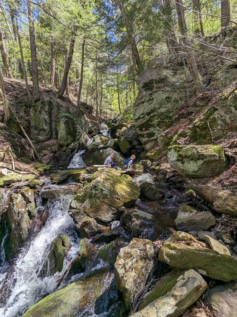
White blazes lead through the largest state forest in Massachusetts, crossing land in both Lee and Washington. Thru-hikers know this stretch well.
Over 16,000 acres surround the trail, offering bears room to roam without ever meeting a person. Encounters still happen along the corridor.
The October Mountain Shelter has a documented history of bear visits. Proper food storage there is not optional advice.
Terrain rolls rather than spikes. Long green tunnels of hardwood, occasional wet crossings, and plenty of berry-lined clearings.
Thru-hikers carry aromatic food, which is why bears learn to check campsites. Canisters and good hanging technique protect everyone behind you.
Day hikers can access the trail from several road crossings. Short out-and-back walks work nicely for an afternoon. Never cook near your sleeping area. Smells linger far longer than the meal itself.
A bear entering camp should be met with loud, firm noise from a group. Pots, voices, and confidence usually settle it.
Sunset light through these woods turns everything gold. Sharing the space with bears is simply part of the deal in the Berkshires.
8. Cheshire Harbor Trail, Mount Greylock State Reservation, Adams
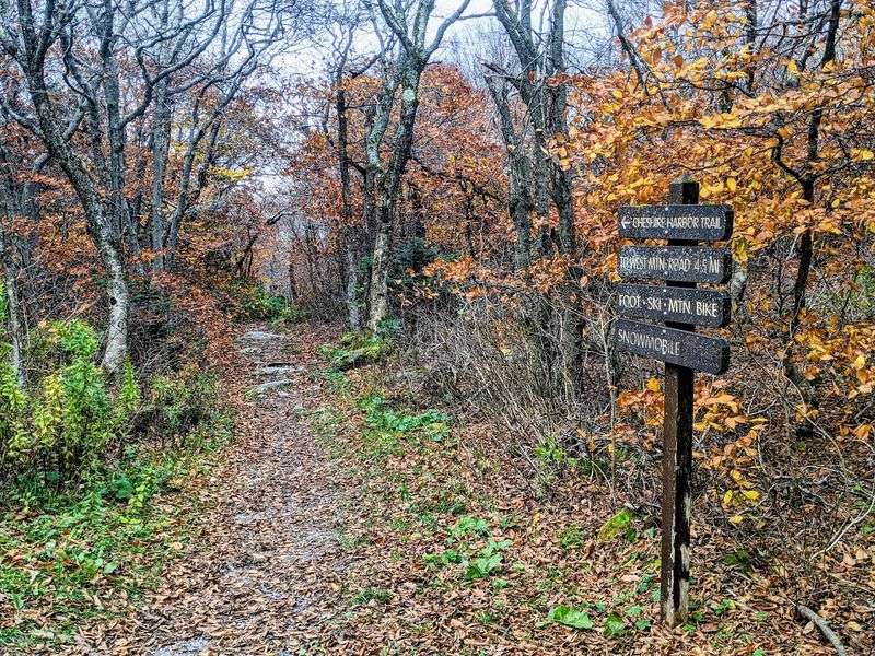
Mount Greylock may be famous for its summit views, but the climb up Cheshire Harbor Trail gives hikers another reason to stay alert. This forested route starts at the end of West Mountain Road in Adams and climbs steadily toward the highest point in Massachusetts.
The full suggested loop covers about 6.6 miles, gains roughly 2,100 feet, and usually takes four to five hours. DCR rates it moderate to strenuous, although it is considered the easiest and shortest base to summit route on Mount Greylock.
The trail reaches Rockwell Road before joining the Appalachian Trail for the final push to the 3,491 foot summit.
Late summer is also an important feeding period for black bears. MassWildlife says bears commonly seek ripening berries during summer, while mid August brings increased attention to berry patches, oak and beech ridges, and other food sources.
Western Massachusetts is established black bear country, so hikers should stay aware even though sightings are never guaranteed.
Make normal trail noise, keep dogs leashed, and give any bear plenty of space. The reward is a long woodland climb ending with sweeping Berkshire views that can stretch for miles on a clear day near the Veterans War Memorial Tower.
9. Sanderson Brook Falls Trail, Chester Blandford State Forest, Chester
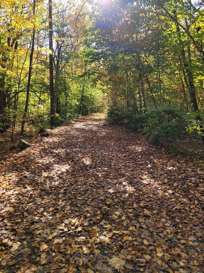
Sanderson Brook Falls Trail is a good choice for hikers who want an easier walk without leaving black bear country behind. The route begins at the Sanderson Brook Falls parking area off Route 20 in Chester and follows a wide, unpaved road beside the brook.
The hike is about two miles round trip and climbs gradually for most of the way. Near the end, a short footpath drops toward the base of Sanderson Brook Falls, a roughly 60 foot waterfall surrounded by forest.
DCR rates the outing easy, which makes it much more approachable than many mountain trails farther west.
The surrounding forest is also part of a larger wildlife corridor in western Massachusetts. In 2026, DCR added more protected forestland west of Chester Blandford State Forest specifically to strengthen wildlife movement through the region.
Late summer deserves extra awareness because black bears are actively feeding on ripening berries and often use thick regenerating forest where those foods are abundant.
Sightings are never guaranteed, so make normal trail noise, keep dogs close, and give wildlife plenty of room. The waterfall may be the destination, but the quiet forest walk is what gives this trail its wild character.