
60 Miles Of Rhode Island Coastline Make Up A Road Trip Tourists Rarely Take
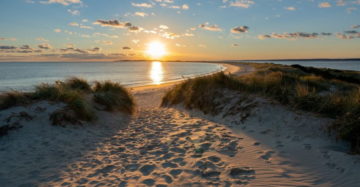
What happens when sixty miles of coastline get almost entirely overlooked by tourists year after year? Rhode Island hides one answer at the very far edge of its rugged shore, where wind and water do all the work.
A narrow spit of sand pushes straight into open ocean, flanked by crashing waves on one side and calm harbor water on the other.
Bird colonies nest undisturbed, old concrete ruins hint at a forgotten military past, and dunes shift with every storm that rolls through.
Locals know this stretch holds far more history and wildlife than its quiet reputation suggests, and once you catch a glimpse of what survived here, Rhode Island starts to feel like a completely different state to explore.
Where Earth Meets The Ocean On A Slender Sandy Spit
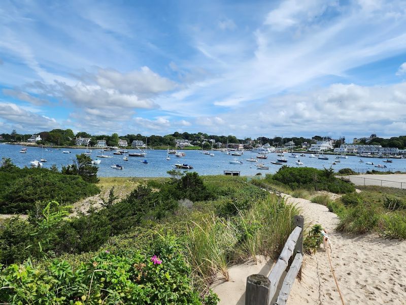
Picture a thin ribbon of sand pushing boldly into the open Atlantic. Napatree Point Conservation Area in Westerly, Rhode Island, is exactly that kind of place.
The peninsula stretches roughly 1.5 miles into Block Island Sound, shaped entirely by wind, tide, and time.
This 86-acre spit sits as the southernmost and westernmost point of mainland Rhode Island. Standing at its tip feels almost cinematic.
Water surrounds you on nearly every side, and the horizon seems wider than anywhere else on the coast.
Longshore drift continuously sculpts the shoreline, nudging sand and reshaping the land with every storm. The ground itself feels alive here.
Visitors often pause mid-walk just to take it all in, realizing the landscape looks subtly different from the last time they visited. That constant change is part of the appeal.
From Forests To Dunes, A Name With A Story
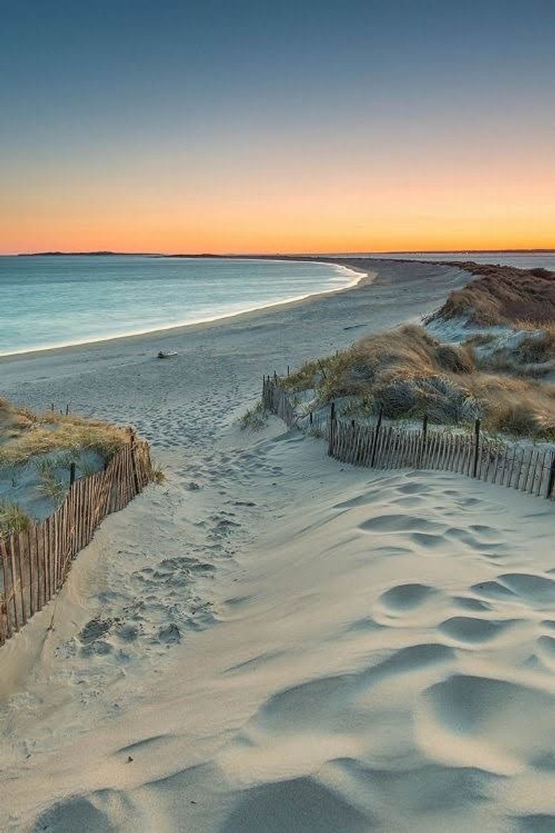
The name Napatree Point did not appear on a map by accident. Dutch explorer Adriaen Block sailed these waters back in 1614 and spotted a thickly forested spit jutting into the sea.
He called it the “Nap of Trees,” a phrase that stuck through the centuries even as the landscape itself transformed dramatically.
By the 1800s, powerful coastal storms had stripped much of that forest away. The Great September Gale of 1815 delivered a particularly brutal blow, erasing the dense tree cover and replacing it with the open, windswept dunes visitors see today.
What remains is a name that carries the memory of a completely different landscape. The contrast between the original forested spit and today’s bare, sandy terrain is striking.
It serves as a quiet reminder that coastlines are never truly static. Rhode Island’s shoreline has always been in motion, and Napatree Point is living proof of that ongoing transformation.
The Hurricane That Changed Everything Forever
Before 1938, Napatree Point was a lively seasonal community. Thirty-nine summer cottages lined the dunes, and families returned year after year to enjoy its quiet beachfront charm.
It felt like a private slice of paradise tucked at the edge of Rhode Island.
Then came the Hurricane of 1938. The storm arrived without modern warning systems, catching residents completely off guard.
It swept through with devastating force, leveling every structure on the point and permanently severing Sandy Point from the main peninsula, turning it into a separate island.
The aftermath was total. No cottages remained.
The land was scoured clean by wind and surge. Rather than rebuild, the Watch Hill Fire District made a bold decision in 1945, purchasing the land and committing it to conservation.
That choice transformed a personal tragedy into a public treasure. Today, the absence of buildings is actually the point’s greatest asset, preserving its raw, undisturbed character for all who visit.
A Globally Important Bird Area Right On The Rhode Island Coast
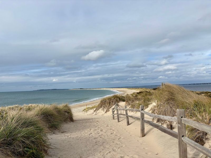
Bird lovers need a very good reason to wake up early. Napatree Point gives them several.
The National Audubon Society designated this coastal preserve a Globally Important Bird Area, a title earned by very few places along the entire eastern seaboard.
Piping Plovers, Least Terns, Osprey, and American Oystercatchers all nest or rest here during migration. The undisturbed dune habitat makes this one of the most critical breeding sites for the Atlantic coast population of Piping Plovers, a federally threatened species that depends on exactly this kind of protected shoreline.
Birdwatching here feels genuinely rewarding rather than just hopeful. The Watch Hill Conservancy even offers a “Slow Birding” program that encourages quiet observation and journaling, turning a walk into a meditative experience.
Whether visiting in spring migration season or the quieter fall months, the variety of species spotted along the point is consistently impressive for a stretch of land this compact.
Dunes That Move And A Coastline That Adapts
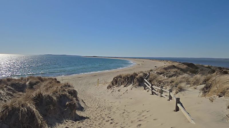
Most people think of dunes as fixed, permanent features. Napatree Point quickly corrects that assumption.
The dunes here are in constant motion, migrating slowly inland as wind and wave energy push them further from the water’s edge year after year.
This mobility is not a flaw in the system. It is the system working exactly as intended.
The University of Rhode Island Coastal Institute recognized this natural resilience by designating Napatree Point a Climate Response Demonstration Site, making it a real-world laboratory for understanding how barrier spits adapt to major storms and rising seas.
Restoration efforts have introduced native plants like seaside goldenrod and beach plum to help anchor the shifting sands. These plants do quiet, essential work, knitting the dune surface together with their root systems.
Visitors walking the trail can spot these plantings throughout the conservation area. They are small but mighty contributors to keeping this remarkable Rhode Island landscape intact for future generations.
An Underwater World Hidden Just Offshore
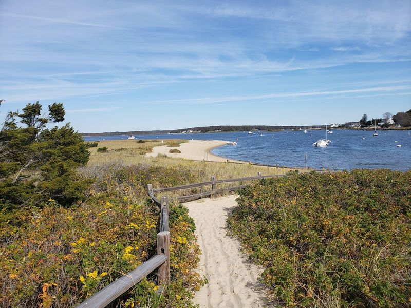
The conservation value of Napatree Point does not stop at the waterline. Just offshore in Little Narragansett Bay lies the largest patch of eelgrass in all of Rhode Island, covering roughly 200 acres of shallow seafloor.
This underwater meadow is far more important than it looks from the surface.
Eelgrass provides critical habitat for juvenile fish, shellfish, and invertebrates. It stabilizes sediment, filters water, and stores carbon at impressive rates.
Horseshoe crabs also use the area as a breeding ground, arriving in seasonal waves that have drawn naturalists and curious visitors alike.
On the bay side near the western tip of the point, a small lagoon offers sheltered, calm water. This protected zone serves as a nursery for young marine life and a feeding stop for shorebirds.
The interplay between the ocean side and the bay side creates two very different ecosystems within walking distance of each other, making every visit to this Rhode Island preserve feel layered and full of discovery.
Fort Mansfield, The Military Past Hidden At The Point’s Tip
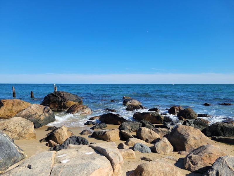
Not everything at Napatree Point is purely natural. Walk far enough west and the landscape reveals something unexpected: the crumbling concrete remains of Fort Mansfield, a coastal military fortification built in 1898 to guard the entrance to Long Island Sound.
The fort housed up to 100 soldiers and featured three large cannon batteries positioned to intercept enemy vessels. It represented serious military investment in protecting this stretch of the New England coast during a period of real geopolitical anxiety about coastal defense.
Military engineers ultimately concluded the fort had a critical design flaw. Enemy ships could potentially maneuver past its line of fire without taking significant hits.
The installation was decommissioned in 1907, just nine years after it was built. What remains today are silent concrete emplacements, slowly being reclaimed by sand and salt air.
They add an unexpected layer of history to what might otherwise feel like a purely natural landscape, turning a beach walk into something more like a quiet archaeological adventure.
How To Reach The Point And What To Expect On Arrival
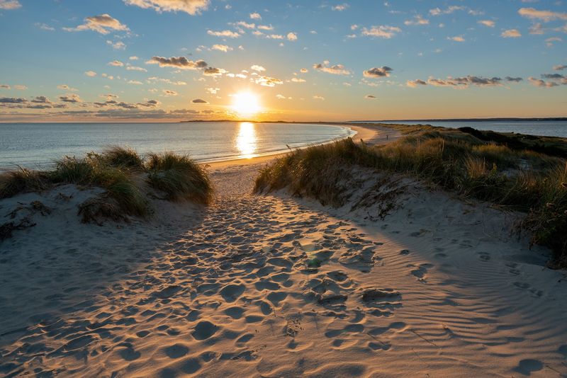
Getting to Napatree Point Conservation Area at Fort Rd, Westerly, RI 02891 requires a short but worthwhile walk from the Watch Hill village area. Parking options vary by season, and summer brings tighter limits and higher demand, so arriving early makes a real difference.
The trail entrance sits near the charming Watch Hill village, which offers small shops, ice cream parlors, and coastal boutiques just a short stroll away. After a long walk on the beach, that proximity to simple refreshments feels like perfect planning.
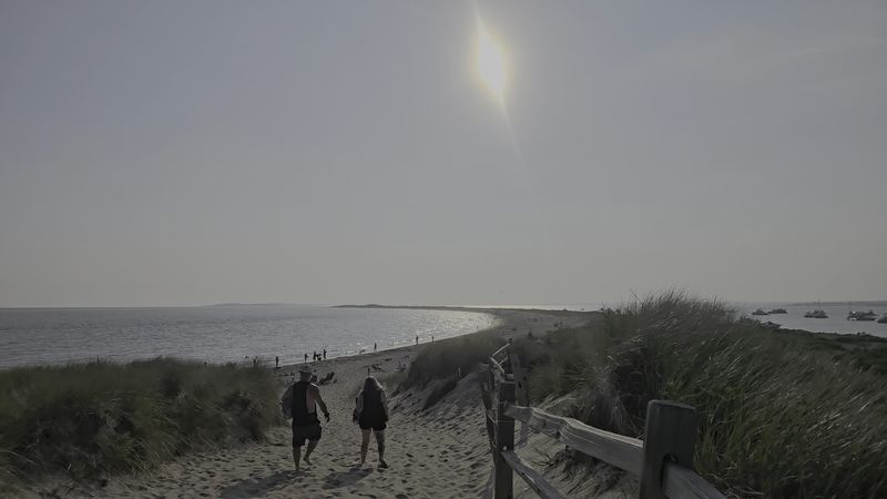
The path itself is sandy and uneven in places, particularly near the dune crossover point. Sturdy footwear is strongly recommended, and sandals tend to disappoint on the steeper sandy sections.
There are no lifeguards on duty, so swimmers take responsibility for their own safety. Facilities are limited, so visitors should plan accordingly.
The reward for a bit of preparation is a beach experience that feels genuinely removed from the crowded summer circus happening elsewhere along the coast.
Rules That Protect The Wild Heart Of The Preserve
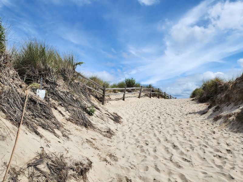
Wild places stay wild because people agree to follow a few simple rules. At Napatree Point, those rules are clear and enforced for good reason.
Vehicles, bicycles, camping, fires, fireworks, and drones are all prohibited within the conservation area.
Visitors must stay on designated paths, which are marked by yellow poles throughout the dune system. Straying off trail can crush nesting sites and destabilize the fragile dune vegetation that holds the entire landscape together.
The rules are not arbitrary; they are the reason the place still looks the way it does.
Dogs are welcome but under strict seasonal conditions. During peak summer hours, dogs are not permitted on the beach at all.
During the off-season and early mornings or evenings in summer, leashed dogs are allowed, and bag dispensers are provided near the entrance. Boaters approaching from the water must also respect no-anchor zones around the lagoon area.
Following these guidelines ensures the preserve remains as pristine for the next visitor as it was for the last.
Guided Walks And Educational Programs For Curious Visitors
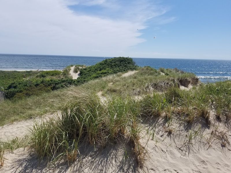
Wandering Napatree Point on your own is rewarding. Going with a knowledgeable guide is on another level entirely.
The Watch Hill Conservancy organizes regular guided natural history walks throughout the warmer months, covering everything from native plant identification to shorebird behavior.
Specialized programs dig into specific topics like marine life, migratory patterns, and dune ecology. The “Slow Birding” experience is particularly popular among those who prefer observation over distance-covering.
Participants are encouraged to sit quietly, watch carefully, and record what they see in journals rather than rushing to the next viewpoint.
Children’s programming features interactive discovery tables that turn the beach into a hands-on classroom. These sessions foster curiosity and environmental awareness in young visitors who might otherwise spend the trip just running in the surf.
For adults and kids alike, these educational offerings transform a pleasant walk into something genuinely memorable. Rhode Island has many beautiful beaches, but very few come with this level of organized natural interpretation built right into the experience.
Why Off-Season Visits Reveal The Point’s True Character
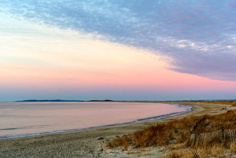
Summer gets all the attention, but the off-season version of Napatree Point belongs to a different category altogether. After Labor Day, the crowds thin dramatically.
The parking situation relaxes. Dogs roam freely on leash.
The light turns golden and sideways in a way that makes every photograph look effortless.
Fall migration brings extraordinary birdwatching opportunities. Seals have been spotted offshore as they move north during the cooler months, turning a simple beach walk into something genuinely surprising.
The absence of summer energy gives the landscape room to breathe, and visitors can finally hear the full conversation between wind and water without distraction.
Winter visits reward the truly committed. The point feels remote and almost prehistoric under a grey sky.
Spring arrivals catch the early nesting season and the first burst of native wildflowers along the dune edges. Rhode Island’s coastal calendar has something to offer in every season, but those who visit Napatree Point outside of July and August often leave convinced they found the better version of the place.