
This North Carolina Lake Was Built Over Lost Communities, And Low Water Reveals Their Old Roads
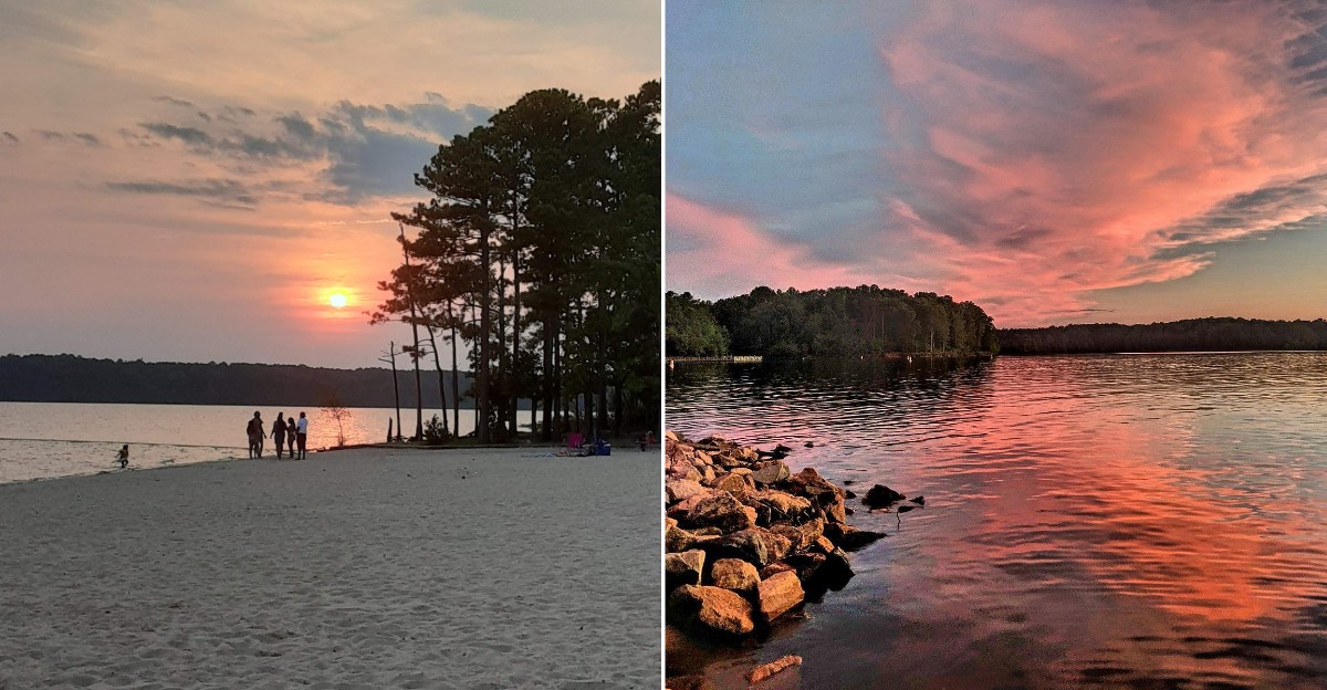
Old paved roads sometimes crawl out of the water here, like they forgot they were supposed to stay hidden. When drought drops the lake, stretches of pavement and old farm sites can show up along the shore.
Those roads once linked farms and crossroads communities in North Carolina. One cluster of them had a name that sounds made up but isn’t: the Harricane.
I like how a weekend boating spot doubles as a quiet history lesson. You can launch a kayak, swim from a sandy beach, or hike a famous trail.
Then the water level dips, and the past starts peeking through.
I can’t imagine driving a road for years, then watching a lake cover it. So what exactly is down there, and when can you see it?
Roads That Refuse To Stay Underwater
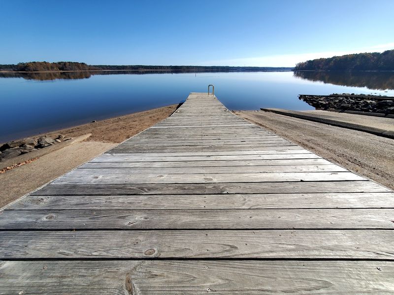
Asphalt usually ends at a stop sign, not a lakebed. At Falls Lake, some old roads simply roll downhill and vanish into the water.
When levels drop low enough, sections of former routes come back into view. Pieces of Possum Track, Choplin, and Old Bayleaf roads have surfaced, along with Old N.C. 98.
That’s a pretty wild lineup of names for a lake tour. Possum Track alone sounds like a road you’d invent for a cartoon.
These roads once carried farm trucks, school trips, and neighbors heading to church or the store. Then the reservoir filled in the early 1980s, and the traffic switched from tires to fish.
Drought is what flips the switch. Persistent dry conditions this year pulled the lake well down and widened the shoreline across central North Carolina.
So timing matters if you want a look. Check lake level updates from the Army Corps of Engineers before you head out.
Please treat anything you spot with respect. Look, take photos, and leave it all in place for the next curious person.
The Harricane Had A Name Before It Had A Lake
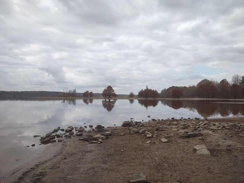
Harricane. Say it out loud and it sounds like weather, but it was home.
The name belonged to a rural community spread across northern Wake County, with pieces reaching into neighboring counties.
Part of it now sits beneath Falls Lake, and the name still turns up in local histories.
Then plans for a reservoir changed everything. The land was needed for flood control and a dependable water supply for a growing region.
I believe that trade-off deserves a moment of thought. Raleigh and nearby towns gained drinking water, while rural neighbors gave up places they knew by heart.
During the 2023 drought, low water exposed ruins linked to the Harricane community. Foundations and traces of old farm life appeared where boats normally float.
That’s what makes this lake different from a plain swimming hole. Every cove has a backstory, even when the water hides it.
If local history grabs you, look for library archives and oral histories about the area. They give faces and voices to the names on those submerged road signs.
You’ll Need A Map Because This Lake Sprawls
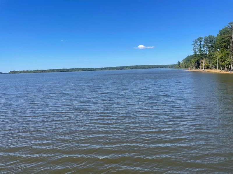
Some 175 miles of shoreline wind through three counties here. That’s a lot of coves, points, and fingers to explore.
Falls Lake stretches across parts of Durham, Wake, and Granville counties. It sits just north of Raleigh, which makes it an easy escape from city traffic.
The reservoir covers roughly 12,000 acres. Its deepest spot reaches around 60 feet, but the average depth is closer to 15 feet.
That shallow average helps explain the drought surprises. Lower water uncovers big stretches of former ground fairly quickly.
For your first trip, start at the visitor center at 13304 Creedmoor Rd, Wake Forest, NC. It’s a good place to get your bearings before picking an access area.
The lake’s many arms break up the open water. That creates calmer pockets that paddlers and skiers tend to appreciate.
Plan your route ahead of time, since bridges and roads loop around the water. Your GPS may otherwise send you on a scenic detour you didn’t order.
Seven Doorways Into One Big Recreation Area
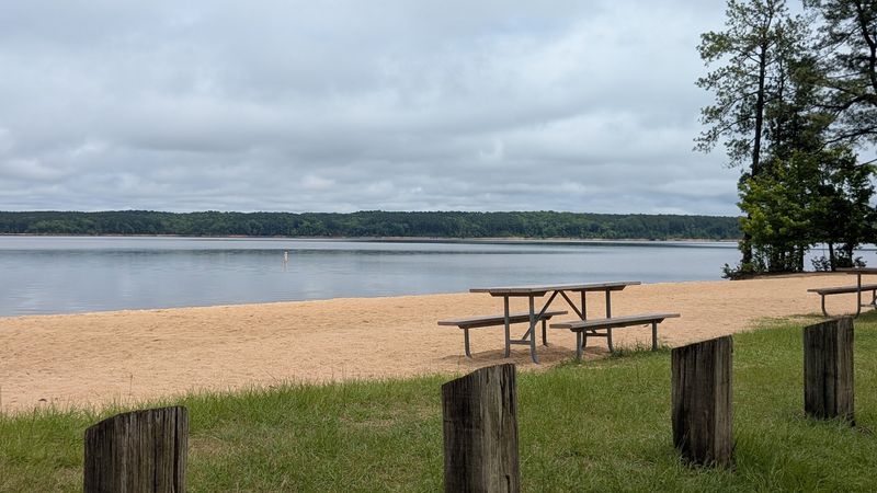
Which entrance should you pick? It depends on your mood, because Falls Lake State Recreation Area has seven access areas around the water.
The NC State Parks system manages these spots. Each one offers its own mix of beaches, boat ramps, campsites, or trails.
The park office entrance sits at 13900 Creedmoor Rd., Wake Forest, NC 27587. Staff there can help point you toward the right area for your plans.
One heads-up for 2026. Holly Point was temporarily closed for construction as of April, so check status before aiming there.
The other access areas stayed open for public use. That still leaves plenty of room to swim, launch, picnic, or wander.
Facilities include restrooms, drinking water, and playgrounds for kids who need to burn off energy. Some areas also have amphitheaters for ranger programs.
My advice is simple. Pick one access area per trip instead of trying to see everything, because this place rewards slow exploring.
A Dam With A Very Practical Job Description
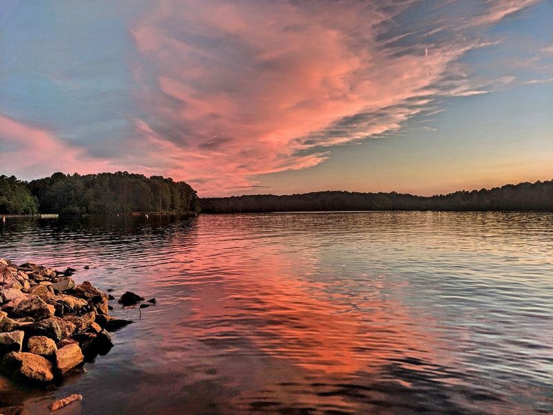
Floods were the original villain in this story. The Neuse River had a habit of soaking downstream communities, and people wanted it tamed.
The U.S. Army Corps of Engineers began building Falls Dam in 1978.
Work wrapped up in 1981, and the lake filled during the early 1980s.
Flood control was only part of the plan. The reservoir also became a key drinking water source for Raleigh and surrounding communities.
Add water quality control, wildlife habitat, and recreation, and you get one busy body of water. Not bad for something that started as a flood fix.
The full pool elevation sits at 252 feet. When the lake drops well below that mark, the old roads and foundations begin showing up.
Here’s a handy tip for history hunters. Watch the gap between current levels and full pool, because bigger gaps mean more exposed shoreline.
It’s also smart to remember this water comes out of someone’s kitchen faucet. Pack out your trash and keep the shoreline clean for everyone downstream.
Sandy Beaches Where Farm Fields Used To Be
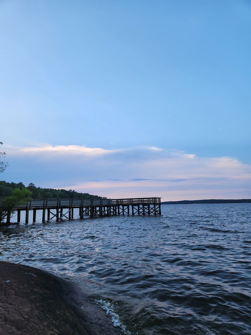
Sand where tractors once rolled is a fun mental image. Today, three areas around Falls Lake offer designated swimming beaches.
Look for them at Sandling Beach, Rolling View, and Beaverdam. These sandy spots are the go-to choice for families on hot North Carolina afternoons.
Holly Point also has a beach, but swimming there is just for campers. With its recent construction closure, it’s worth checking before you plan around it.
Bring the basics, like sunscreen, water, and snacks. Fire rings with grills are part of the facilities, so a cookout can easily join the day.
Picnicking is a big part of the beach scene here. Shady spots near the water make lunch feel like a mini vacation.
Keep an eye on younger swimmers and stay inside marked areas. Boats and personal watercraft share the larger lake, so swim zones matter.
Here’s a fun thought while you splash around. Somewhere beneath the wider lake, old roads still trace paths between long-gone farms.
Boats, Bass, And A Whole Lot Of Coves
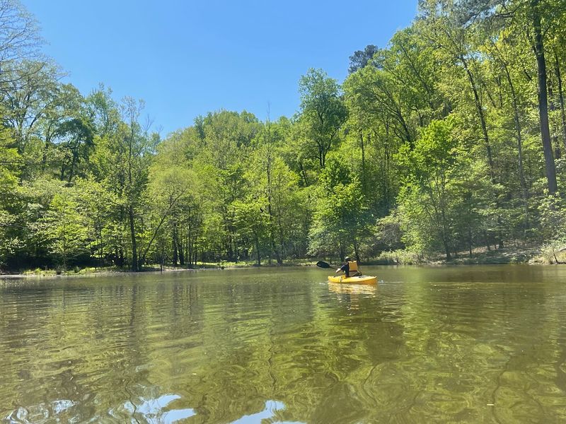
Anglers get a serious playground here. Falls Lake has a marina plus several boat launches spread around the shoreline.
Fishing is allowed with a North Carolina Inland Fishing License. Largemouth bass, crappie, and catfish are common targets for folks with rods.
Kayakers and canoe paddlers have options too. The winding coves offer quieter water away from the busiest boating lanes.
Low water adds a twist for boaters. Those submerged roads and foundations can sit closer to the surface during drought.
That means slowing down and watching your depth in unfamiliar spots. Hitting Old N.C. 98 with a propeller would be a very strange traffic incident.
Wildlife watching pairs nicely with time on the water. Ospreys and eagles nest around the lake, so binoculars earn a spot in your bag.
Arrive early on weekends if you plan to launch. Boat ramps can get busy, and a calm morning start makes the whole day smoother.
Lace Up For Miles Of Trail Along The Water
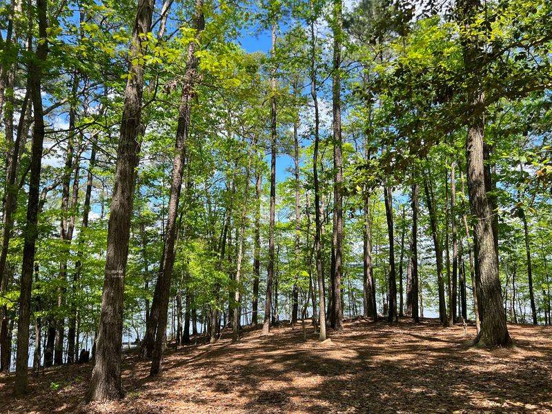
Nearly 25 miles of hiking trails loop through the recreation area. Some of them belong to the famous Mountains-to-Sea Trail.
That trail crosses North Carolina from the mountains toward the coast. Walking a lakeside piece of it feels like borrowing a chapter from a much longer story.
Mountain bikers get their own playground at Beaverdam. Five trails there add up to 14 miles of riding.
Trees shade many stretches, which helps on warm days. Still, pack plenty of water and bug spray, because summer here isn’t shy.
Hiking during low water can be extra interesting. Shoreline views may reveal exposed ground that’s normally hidden beneath the surface.
Stay on marked paths, though. Exposed lakebed can be muddy and unstable, and nobody wants to lose a shoe to history.
A short out-and-back hike makes a great starter trip. Once you know the terrain, you can tackle longer sections with confidence.
Stay The Night And Let The Lake Do Its Thing
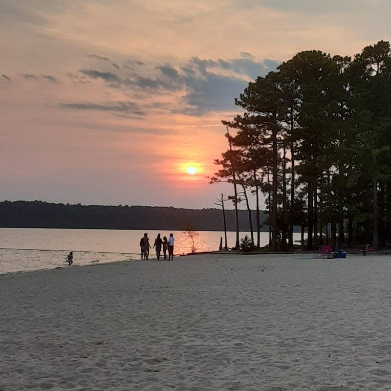
Hundreds of campsites ring this lake. That’s a lot of choices for anyone who prefers waking up near the water.
Options range from spots for tents to sites suited for RVs. A dump station is available for RV campers, which makes longer stays easier.
Bath houses with warm showers and flush toilets add some comfort. Accessible facilities are also part of the setup.
Fire rings with grills mean dinner can happen right at your site. Hot dogs over the coals taste better with a lake view, and that’s just science.
Evenings bring a softer side of Falls Lake. Amphitheaters host programs in some areas, and sunsets over the water are a popular reason to linger.
Camping also gives you more time to think about what lies beneath. Those old roads were once part of someone’s daily drive home.
Book ahead for busy seasons, and confirm which access areas are open. Then pack a lantern, settle on a site, and enjoy a lake with real stories.