
This Quiet Tennessee Mountain Highway Turns Gold In October And Barely Anyone Drives It
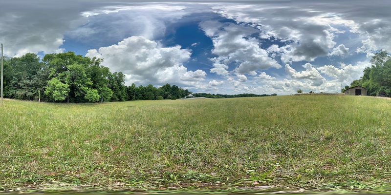
Somewhere in the southeastern corner of Tennessee, there is a stretch of pavement that climbs so high the temperature drops while you drive it, and for two weeks every October the whole thing glows gold. I found it almost by accident, taking an interstate exit for gas and a sandwich and then just following the road southeast because the mountains looked close.
What surprised me most was not the color but the emptiness, mile after mile of ridgeline views with maybe three other cars in sight. If you have been avoiding fall foliage trips because you picture bumper-to-bumper traffic, this one changes the math.
An Interstate Exit With Mountains Behind It
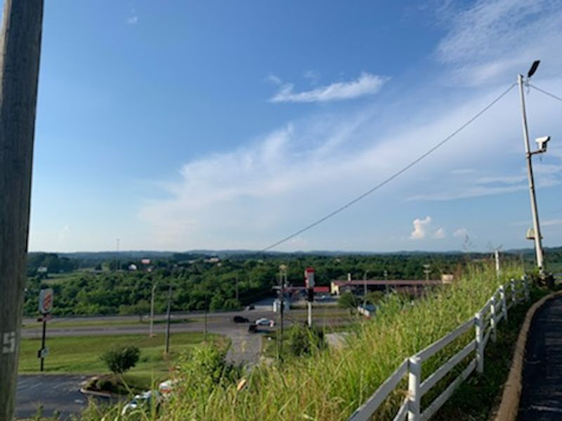
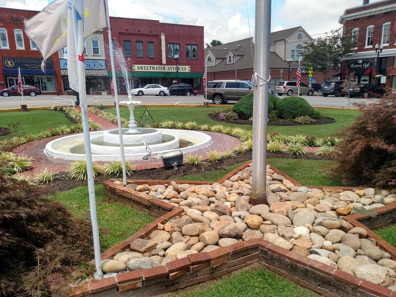
Off Interstate 75 in Monroe County sits a town of roughly 6,312 residents, according to the 2020 census, and most travelers pass the exit without so much as tapping the brakes. Sweetwater is the most populous city in Monroe County, with part of its footprint reaching into McMinn County.
It also sits within easy reach of one of the state’s most rewarding October drives.
Head southeast from town and the land begins folding upward toward Tellico Plains, the western gateway to the Cherohala Skyway National Scenic Byway. The route runs 43 miles, crossing out of Tennessee and descending toward Robbinsville, North Carolina.
The practical value of starting here is hard to overstate. Gas, breakfast and a cooler run all happen before the climb begins, which matters more than it sounds like it should.
By mid-October, the hardwoods and evergreens lining the byway shift into gold, rust and deep red. Traffic stays noticeably lighter than on the better-known park roads a county or two north, and that combination of color and quiet is the entire reason to point your car in this direction.
Two National Forests Sharing One Invented Name
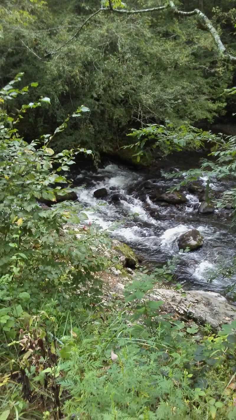
Break the word apart and the geography explains itself. Chero comes from the Cherokee National Forest on the Tennessee side, and hala from the Nantahala National Forest across the North Carolina line.
The byway stitches the two together, which is how a road ends up with a name that sounds made up.
Federal designation as a National Scenic Byway put the route on official maps, yet it never collected the crowds that designation usually brings. No gift shops line the shoulder.
No ticket booths interrupt the drive.
Forest cover stays dense for most of the 43 miles, broken by clearings and long views across ridge after ridge. Descriptions of these vistas often note how little evidence of civilization appears in them, and from the pullouts that holds up.
What emerges is a road that feels older and slower than its smooth pavement suggests. The Tennessee half leans toward creek bottoms and waterfalls, while the North Carolina half opens onto high grassy balds and wide sky.
Driving the full length means collecting both personalities in a single afternoon, which is a fair trade for a tank of gas.
October’s Color Calendar, Elevation By Elevation
Timing matters more on this drive than on flatter routes. Sourwood and dogwood at the upper elevations can begin showing red in late September, weeks ahead of the main event.
The full display, the one people build a Saturday around, typically arrives during the last two weeks of October. Maples and birches carry the show, throwing yellow and orange against the darker green of the evergreens.
Elevation complicates the schedule in a way that actually works in your favor. Since the road climbs from roughly 900 feet to over 5,400, several stages of autumn can exist along the same 43 miles at once.
Ridgetops may be fading while creek bottoms are barely turning.
Weather nudges the calendar year to year, so it makes sense to check conditions before committing to a date. A cool, dry stretch tends to sharpen the color, while a warm October pushes everything later.
If you only get one trip, aim for a weekday in the third or fourth week of the month. You will trade a little peak-color certainty for a road that feels almost entirely yours.
Climbing More Than 4,500 Feet Without Really Noticing

Ears pop somewhere in the middle of it. The Skyway starts near 900 feet at Tellico Plains and tops out above 5,400 feet, meaning you gain more than four thousand feet of elevation across a fairly relaxed 43 miles.
Grades stay manageable and the curves are wide enough that a family sedan handles them fine. What changes is everything outside the windows.
Temperature is the surprise for first-timers. It can be mild in town and genuinely cold at the high overlooks, sometimes with wind pushing across the open ridges.
Layers are not optional in October, and a jacket in the back seat beats cutting a stop short because someone is shivering.
Elevation also rewrites the view. Down low you are inside the forest, with color pressing against the guardrail.
Up high you are looking across the tops of entire mountainsides, watching ridgelines stack toward the horizon in fading blues.
Kids who normally lose interest in scenic drives tend to perk up when their ears pop and the thermometer on the dash starts dropping. It turns the climb into something they can feel rather than just look at.
Overlooks, Picnic Tables, and the Case for Going Slow
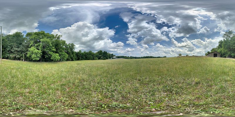
Driven straight through with no stops, the Skyway takes roughly an hour and a half to two hours. Almost nobody should do that.
Numerous overlooks are spaced along the route, and the views from them can run for miles across rolling mountain ridges. Some are simple gravel pullouts.
Others have room to stretch, walk around and let restless passengers burn off energy.
Picnic tables show up at various overlooks and sites along the byway, including the Indian Boundary Recreation Area. Packing lunch and eating it at 4,000 feet costs nothing beyond the groceries, and it solves the bigger problem of there being no restaurants anywhere on the route.
A realistic pace is four to six hours end to end with stops, photos and a meal. Families with young kids should plan on stopping more often than they think, since the drive is long and the pullouts are the payoff.
Morning light tends to be softer for photos, and haze often builds later in the day. Starting early also improves your odds of having the better overlooks to yourself.
The Waterfall Detour On Forest Service Road 210
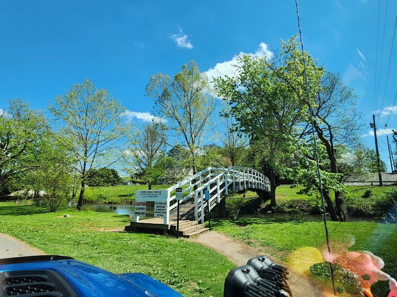
Not every highlight sits on the Skyway itself. A short detour along Forest Service Road 210 leads to Bald River Falls, one of the most photographed spots in this part of the Cherokee National Forest.
The falls are visible right from the road, which is unusually generous as waterfalls go. No hike is required, so grandparents, toddlers and anyone with tired knees can see it without effort.
Picnicking here works well, especially if you would rather eat beside rushing water than on a windy ridge. Parking is limited and the bridge area gets busy on weekends, so a weekday visit or an early arrival makes the stop far more pleasant.
Combining the falls with the Skyway is the standard move for a full day out of Sweetwater or Tellico Plains. Some drivers hit the waterfall first, then climb the byway with the afternoon light behind them.
Wet rock near any waterfall is slick, so keep kids close and stick to the established viewing areas. The photo is just as good from a safe distance, and nobody wants to end an autumn drive with a fall.
Trails That Trade Windshield Views For Ridgetop Ones
Stretching your legs changes the character of the day entirely. Several hiking trails branch off the byway, and two of the most rewarding lead to Huckleberry Knob and Hooper Bald.
Both take you onto open high ground, where the foliage spreads out below instead of pressing in around you. Grassy balds like these are rare in the East, and in October the contrast between open meadow and blazing forest edge is the whole reason to walk.
Hooper Bald is the shorter, gentler option and works for families with kids who can handle a modest uphill. Huckleberry Knob asks a bit more but stays within reach of casual hikers who take their time.
Weather at the top can differ sharply from the parking area, so bring the jacket even if it feels unnecessary when you shut the car door. Wind on an exposed bald cuts fast.
Trail conditions shift with rain and season, and October leaf litter can hide roots and rocks. Sturdy shoes beat sneakers, and it is smart to check current forest service conditions before heading out.
An Underground Lake Waiting Back In Town

Rain in the forecast does not have to cancel the trip. Sweetwater is home to Craighead Caverns, which contains the Lost Sea, the largest underground lake in the United States.
Having that in your back pocket is genuinely useful for October travel, when a mountain drive can vanish into fog with no warning. Cave temperatures hold steady regardless of what the sky is doing outside.
For families, the appeal is obvious. Kids who yawn through scenic overlooks tend to remember walking into a cavern and finding a lake in the dark, and it is the kind of stop that ends up in the story they tell at school on Monday.
Admission, tour times and seasonal schedules are set by the attraction and can change, so check current details before building your day around it. Underground tours also involve walking on sloped, sometimes damp surfaces.
Pairing the caverns with the Skyway makes a strong two-part itinerary: color and long views in the morning, cool limestone and still water in the afternoon. Few small Tennessee towns can offer both within the same zip code.
No Gas, No Snacks, No Signal For 43 Miles

Preparation is the difference between a great day and a stressful one here. Between Tellico Plains and Robbinsville there is no food, no gas and essentially no phone service across the entire 43 miles.
Fill the tank before you start climbing. Pack water, snacks and lunch, and download or print directions rather than trusting a phone that will lose signal within minutes of the first big curve.
The Cherohala Skyway Visitor Center in Tellico Plains is the right first stop. Free maps are available, staff can share current driving conditions, and the restrooms are clean, which matters when the next reliable facilities are a long way off.
Missing cell coverage sounds like a drawback until you are an hour in. Nobody is checking messages, the kids are actually looking out the window, and the drive turns into something closer to an old-fashioned road trip.
Fall weather can bring fog, sudden temperature swings and occasional early cold snaps at elevation. Checking conditions the morning of the drive is a small step that prevents most of the things that could go sideways.
Drive Times, Costs, and Picking the Right Day
Cost is the easiest part of this trip to explain. The Skyway is completely free to drive, with no entrance fees and no parking charges at the overlooks.
That makes the whole outing a matter of gas and groceries. A family can fill the tank, pack sandwiches and a thermos, and spend an entire Saturday in the mountains for less than the price of one nice dinner out, somewhere in the $30 to $40 range depending on your vehicle.
Getting there is straightforward from most of East Tennessee. Knoxville and Chattanooga are both roughly an hour and a half to two hours from Tellico Plains, while Nashville runs closer to three to four hours depending on traffic.
Day choice matters more than time of day. Weekends and holidays bring heavier use, and motorcycle traffic picks up in good weather, but weekday mornings stay quiet enough that you can pull over almost anywhere.
Conditions and seasonal access can change, so a quick check before leaving is always worth the two minutes it takes.
Who This Autumn Drive Actually Suits
Some scenic drives are about the destination. Here, the road is the whole point, and that shapes who will love it.
Retirees and anyone who likes an unhurried pace will get the most out of it, since the reward comes from stopping often and staying a while at the overlooks. Photographers get layered ridge views without fighting for a spot at the railing.
Families do well with a plan. Break the drive into segments, use the picnic tables, add Bald River Falls for a payoff that requires no hiking, and keep the caverns in Sweetwater as a backup if the weather turns.
Travelers who want shops, restaurants and constant activity should look elsewhere, because none of that exists between the two ends of the byway. The absence is exactly what keeps the road quiet in a month when most mountain routes are packed.
Line up a weekday in the second half of October, leave early, bring layers and a full tank, and you get 43 miles of gold for the cost of the fuel it takes to see it.