
8 Mississippi Island Spots So Unusual They Belong On Your September Bucket List
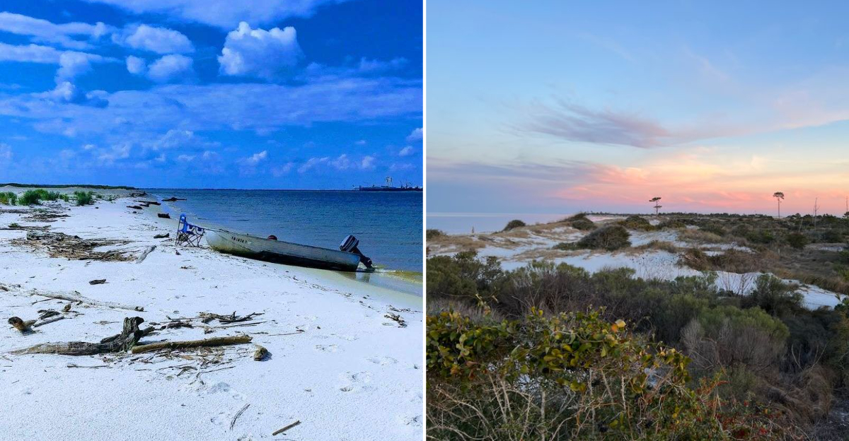
Some islands are strange enough that few people ever bother visiting them, but that exact strangeness is what makes these Mississippi spots worth seeing. Each location offers something unusual most travelers wouldn’t expect to find along the coast.
Nothing about these islands feels like a typical beach destination built for crowds. Regulars know these spots for their oddities rather than any conventional attraction.
Wildlife and scenery here often surprise first-time visitors expecting something more ordinary. Access varies by location, with some requiring boats while others connect more easily by land.
Photography opportunities exist throughout, especially for anyone drawn to the unusual over the familiar. These islands proved that sometimes the strangest destinations make for the most memorable September trips.
1. Bachelor’s Cove On Cat Island
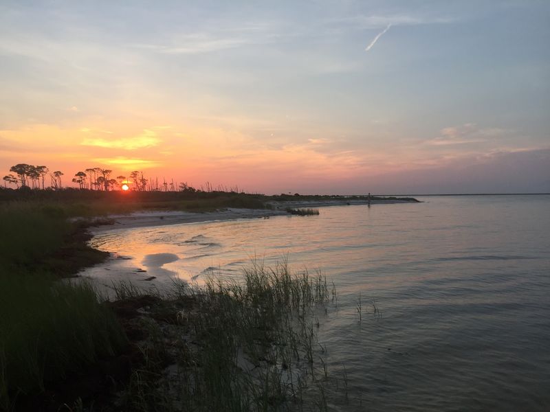
French explorers rowed up to this island in 1699, spotted a bunch of raccoons, and confidently decided they were cats. The name stuck.
Three hundred years later, everyone still calls it Cat Island, raccoons and all.
The island itself is shaped like a lopsided T, carved that way by Gulf currents crashing into each other from different directions. Nothing else on the Mississippi coast looks like it.
Bachelor’s Cove sits along that shoreline as a quiet curve of sand with dense oak and pine woods standing guard behind it. Most barrier islands out here feel bare and windswept.
Cat Island feels like a forest decided to move offshore.
The western half and the southern tip belong to Gulf Islands National Seashore, which means the cove stays undeveloped.
Swimming, picnicking, and bird watching are the main activities, and primitive camping is allowed for anyone willing to haul in their own water and haul out their own trash.
Then there is the shady history. Pirates, bootleggers, and smugglers used the island as a hideout through the 1800s, and one inlet is still labeled Smugglers Cove on maps.
September is a smart month for a visit because the summer heat backs off and the boat traffic thins out considerably.
Access is by private boat or charter only, so plan the trip with someone who knows the shallow water. Wildlife sightings come easy here, especially in the early morning hours.
2. West Petit Bois Island National Seashore
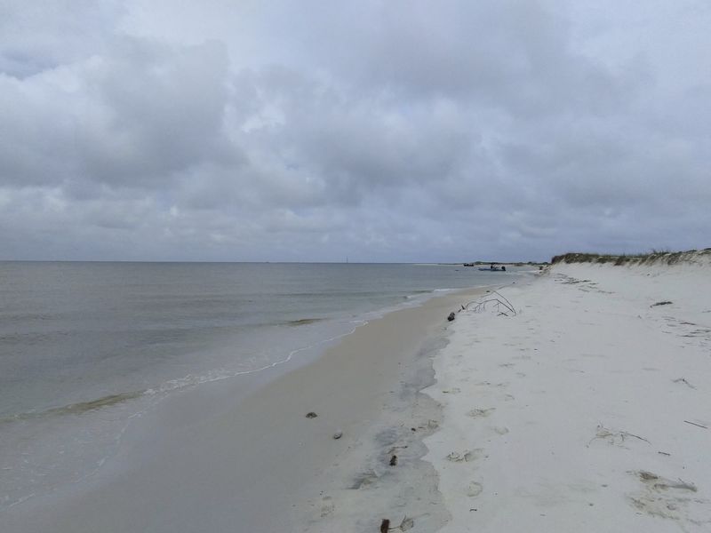
Here is an island with a construction date. West Petit Bois exists because the U.S.
Army Corps of Engineers dredged sand out of the shipping channel and piled it up, and the Gulf took over from there. It keeps growing.
The name traces back to early French explorers who noticed a small stand of trees on the eastern end of the original Petit Bois and called it little woods. Not the most imaginative naming session in history, but it was accurate.
What makes the place unusual is how much it shifts. Currents, wind, and storms rearrange the shoreline constantly, so the island a boater sees in September may look different by spring.
Designated wilderness protections cover the island, which keeps plants and animals largely left alone. Bird watching is excellent, especially during fall migration when the shorebird traffic picks up along the sandbars and shallows.
Camping is allowed on beaches with no facilities, no shade structures, and no neighbors. That combination sounds rough until the sun goes down and the stars show up without a single streetlight interfering.
Boat access is the only way in, roughly southeast of Davis Bayou. Anyone planning to camp should bring far more drinking water than seems necessary, plus real sun protection, because the island offers almost no natural cover.
Fish move through the clear shallows all day, easy to watch from ankle-deep water.
3. Sand Island
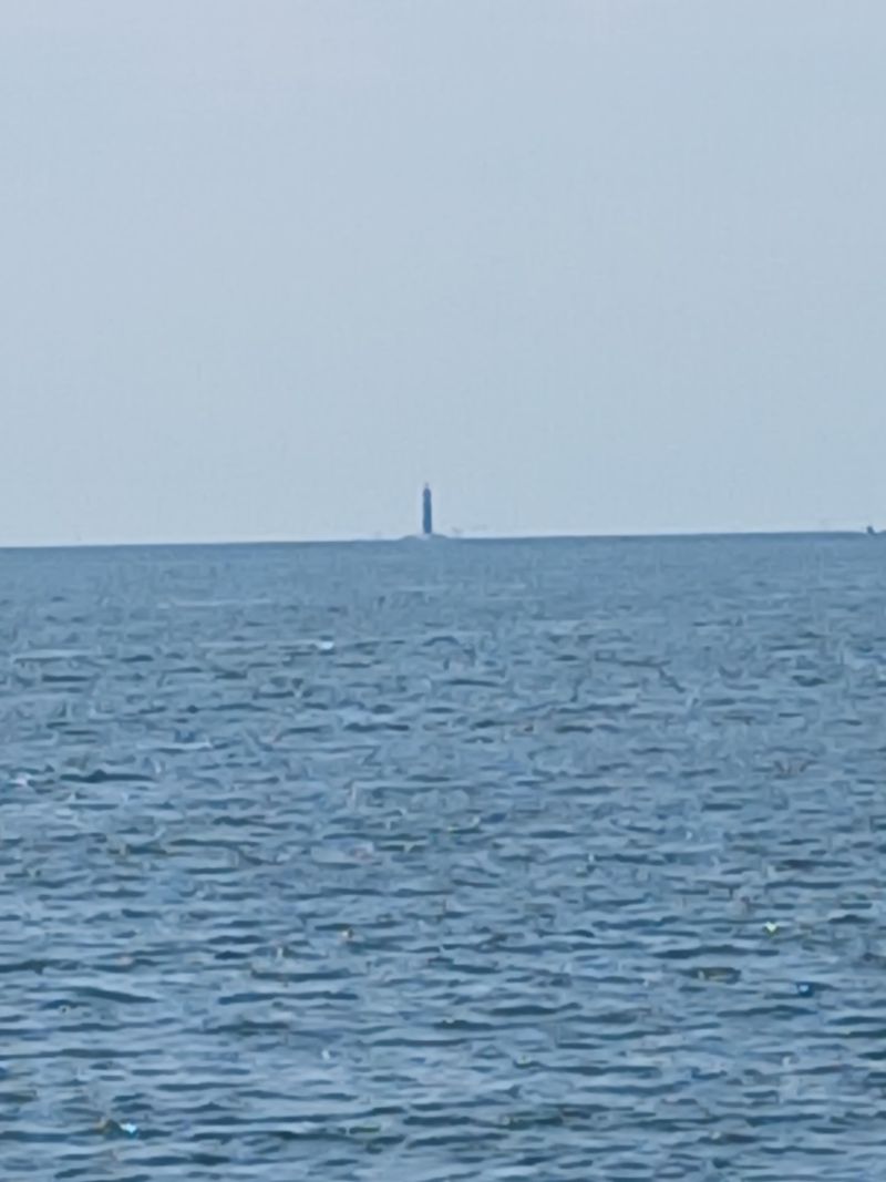
Imagine a barrier island so small it needs its own barrier island. That is basically Sand Island, a windswept scrap of sand that older maps once labeled Pelican Island.
Like a few of its neighbors, it was born from dredge material pulled out of navigation channels. Artificial origins, completely wild results.
Wildlife makes this spot worth the boat ride. Horseshoe crabs wash ashore looking exactly like they did hundreds of millions of years ago, which is either fascinating or mildly unsettling depending on the person.
Seagulls nest low among the sea oats, so foot traffic needs to stay near the water during nesting periods. Schools of stingrays glide through the shallows in slow formation, visible from above when the water is calm.
Dolphins turn up offshore fairly often, usually working in small groups. September afternoons tend to bring flat water and good visibility, which helps enormously for spotting them.
There are no docks, no restrooms, and no shade whatsoever. Reaching the island requires a boat and a shallow-draft approach, since the surrounding bottom sits close to the surface in places.
Because the island is tiny, it can be walked end to end in minutes. That makes it a solid stop paired with a longer day trip rather than a full destination on its own.
Pack water, a hat, and a camera with a zoom lens for the ray and dolphin sightings.
4. Gulf Islands Wilderness
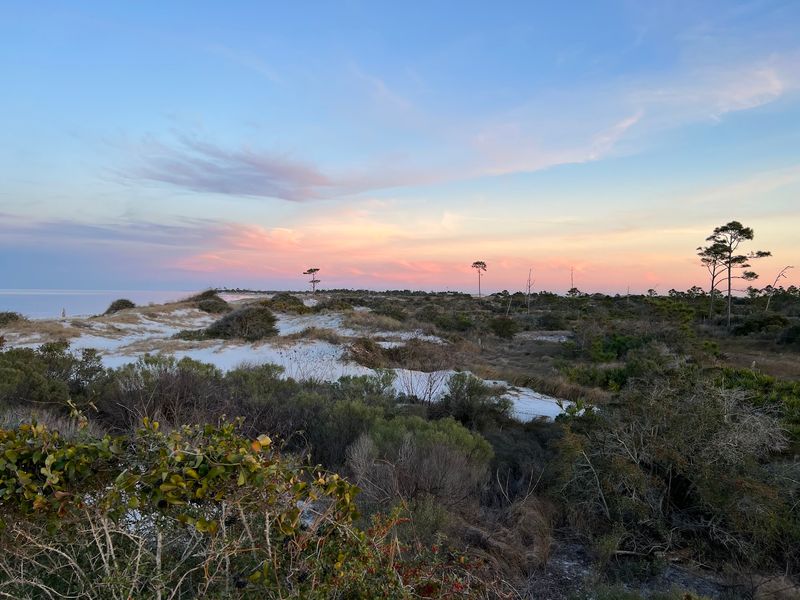
In 1978, Congress looked at Horn Island and Petit Bois Island and decided the best plan was to leave them alone. Official wilderness designation followed, and the islands have been quietly running themselves ever since.
Natural forces call the shots here. Wind moves the dunes, storms redraw the shorelines, and nobody shows up with a bulldozer to fix any of it.
The plant list reads like a mismatched collection. Sea oats hold the dunes together, live oaks twist into strange shapes, saw palmetto crowds the interior, and prickly pear cactus grows on a Gulf island because apparently that is allowed.
Animal residents include snowy plovers, bald eagles, ghost crabs, several snake species, and American alligators living in freshwater ponds surrounded by saltwater. That last detail surprises almost everyone.
Offshore, Atlantic bottlenose dolphins patrol the shallows alongside moon jellies and Kemp’s ridley turtles. Fall is prime time out here, with cooler nights and fewer insects than the peak of summer.
Camping in the wilderness zones means total self-sufficiency. No potable water, no facilities, no rescue on speed dial, and boat access only.
Sunrise and sunset are the headline events, but the night sky steals the show completely. Miles of open water block out city glow, so the stars come through sharp and thick.
Anyone going should study the weather forecast carefully and tell someone onshore the plan.
5. Round Island Coastal Preserve
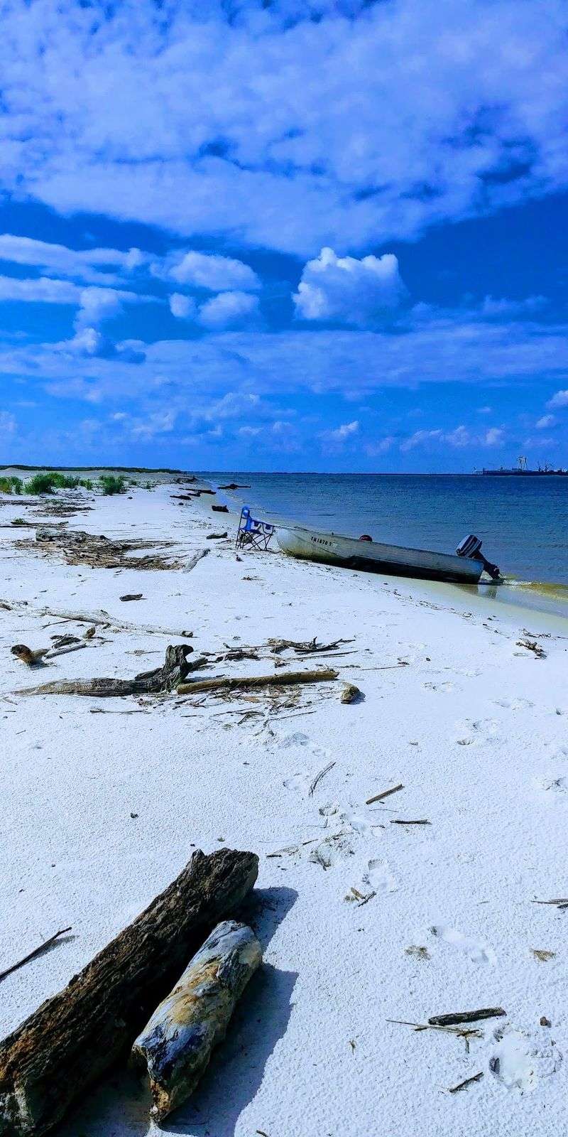
Small islands sometimes carry outsized histories, and Round Island is a solid example. In 1849, Venezuelan adventurer Narciso Lopez used it as a staging area for an expedition aimed at liberating Cuba.
A few hundred acres of pine and marsh, briefly at the center of international drama.
A lighthouse went up here in 1833, then got battered by storm after storm until hurricanes finally finished it off. The Gulf tends to win these arguments.
Today the island sits uninhabited in the Mississippi Sound south of Pascagoula, managed as a coastal preserve by the Mississippi Department of Marine Resources.
Slash pine forest covers part of it, marsh fills the interior, and sandy beach wraps the edges.
Birds are the main reason biologists care so much. Brown pelicans, white pelicans, and cormorants rely on the island for feeding, resting, and wintering, which makes fall visits especially lively.
Rare plants hang on here too, including Ruellia noctiflora, a night-blooming wildflower that is uncommon across its whole range. Restoration projects using dredge material have helped rebuild habitat that storms stripped away.
Access is by boat, and there are no visitor facilities of any kind. Anyone landing should stay clear of nesting areas and keep to the beach edge.
September brings migration activity and cooler mornings, a good combination for birders with binoculars and patience.
6. Fort Massachusetts
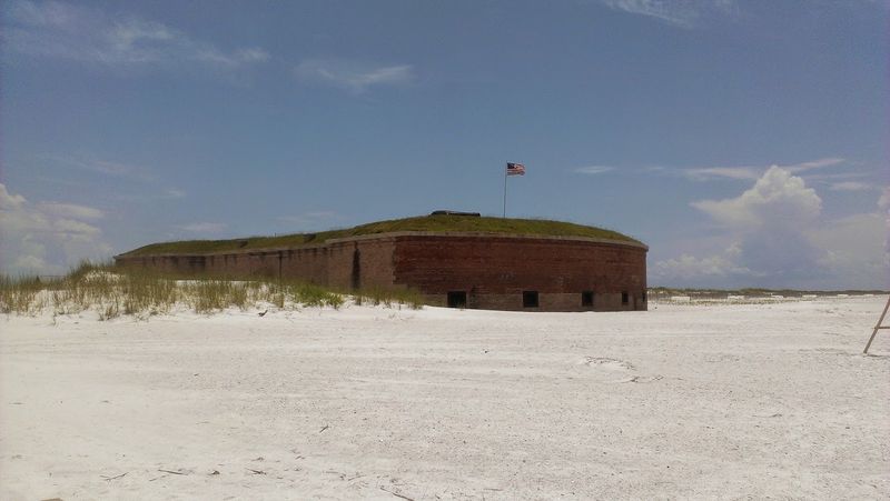
A brick fort has been standing on West Ship Island for more than 150 years, outlasting Camille, Katrina, and every lesser storm in between. Fort Massachusetts is stubborn in the best way.
Construction started after the War of 1812 and dragged on through the Civil War, and the D-shaped fort never quite got finished in the role planners imagined for it.
Union troops took the island during the war and used it as a staging ground for the capture of New Orleans. It also served as a prisoner-of-war camp, and conditions there were brutal.
Walking the fort walls now, the contrast is almost strange. Heavy arched brick on one side, and on the other, some of the prettiest beach on the entire Gulf Coast.
The water off Ship Island often runs clear enough to see 12 to 14 feet down, which is unusual for Mississippi and a big part of the island’s reputation. Shorebirds and sea turtles depend on the beaches, so posted closures matter.
The island sits about 11 miles south of Gulfport, reachable by passenger ferry during the operating season or by private boat. Birding, shelling, sunning, and hiking fill an easy day.
September crowds are much lighter than July, and the Gulf stays warm well into fall. Bring sunscreen, water, and shoes that handle hot sand.
7. Gulf Islands National Seashore
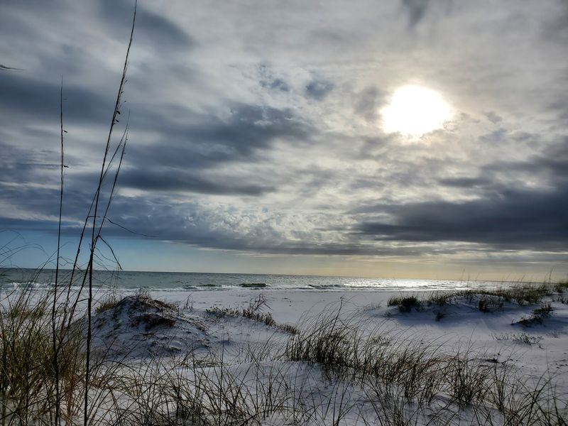
The largest national seashore in the country stretches across two states, and Mississippi gets a serious chunk of it. White sand, blue water, and marshes that smell exactly like the coast should.
Here is the fact that surprises people most: more than 80 percent of the park is underwater. All that submerged land is packed with marine life, which explains why the fishing and paddling are so good.
The protected ecosystems run from open beach to bayou. Live oak forests inside the park shelter both year-round residents and migrating birds passing through in fall.
Nothing stays the same shape for long. Breezes, tides, and hurricanes keep rearranging the islands and shorelines, so the park is essentially a slow-motion work in progress.
Historic forts scattered through the seashore add another layer, telling stories about the people and conflicts that shaped this stretch of the country. History and beach time in one trip.
Plants and animals out here have adapted to a genuinely harsh setting. Salt spray, blazing sun, storm surge, and shifting sand and somehow sea oats and scrub oaks keep hanging on.
Mainland units like Davis Bayou offer trails, picnic areas, and boat launches without needing a ferry ticket. September makes hiking those trails far more comfortable than midsummer, and insect repellent is still a smart addition to any day pack.
8. Deer Island
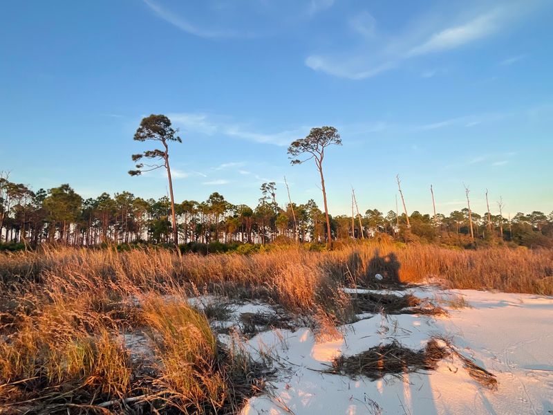
Biloxi’s skyline sits close enough to see from the beach here, and yet Deer Island feels completely disconnected from all of it. Four hundred acres of marsh, forest, and undeveloped shoreline, minutes from town.
Families like the Bakers homesteaded the island for generations before it became a state-managed Mississippi Coastal Preserve. Traces of that long human history linger in the stories more than the landscape.
Wildlife runs the show now. Great blue herons keep a rookery here, and the island supports American alligators, mottled ducks, osprey, loggerhead turtles, and diamondback terrapins.
Dolphins work the channel between the island and the mainland, often close enough to hear breathing on a still morning. Shorebirds and crabs cover the sandy edges, and shell hunting is genuinely rewarding.
Deer Island also does hard labor for Biloxi. Acting as a natural buffer, it absorbs wind and wave energy that would otherwise slam the city’s shoreline during storms.
Restoration projects have rebuilt habitat and stabilized eroding shores, creating new marsh and beach areas in the process. Good news for the herons, good news for the city.
Getting there takes a kayak or a small boat, and the crossing is short. Kayakers should still check wind and boat traffic before setting out, because the channel gets busy.
Cooler September mornings make paddling much more pleasant than August.