
This Short Wisconsin Trail Turns A Simple Walk Into A Scenic Adventure
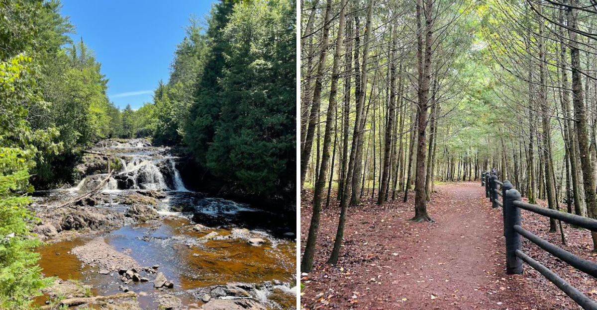
Big scenery usually demands sore calves, questionable snacks, and at least one moment where you regret your footwear. Not here.
This northern Wisconsin trail squeezes waterfalls, dark gorges, rushing water, stone steps, and forest shade into a short walk that feels far more dramatic than its mileage suggests. One turn brings the sound of water getting louder.
Another reveals rock walls and views that make you pause before grabbing your camera. The route gives you just enough climb to feel adventurous, without turning the outing into a survival story.
It is the kind of trail that rewards curiosity fast, making it perfect for hikers who want serious scenery, fresh air, and a little waterfall drama before lunch.
The Loop Is About 1.6 To 1.7 Miles Long
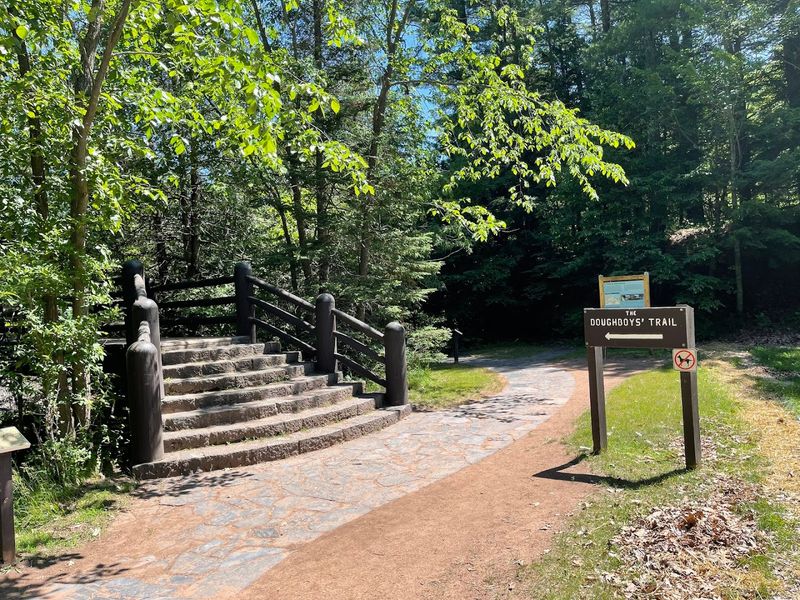
Distance on this trail sits comfortably in that range where you can finish before lunch or stretch it out with plenty of stops. Most hikers complete the circuit in under an hour if they keep moving, though pausing at every overlook and waterfall can easily double that time.
The path itself never demands serious endurance or technical skill. Families with younger kids manage it regularly, and the loop format means you end up right back where you started without retracing your steps.
Located off County Highway 169 near Mellen, the trailhead provides clear signage and a parking area that fills up on weekends during peak fall color season. Spring runoff makes the waterfalls more dramatic, while summer offers shade and cooler temperatures under the canopy.
Planning around two hours gives you time to actually absorb the surroundings instead of treating it like a race.
The Trail Runs Through Copper Falls State Park
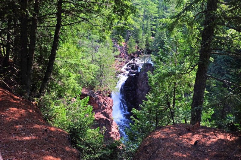
Copper Falls State Park encompasses over 3,000 acres of northern Wisconsin forest, and Doughboy’s Loop serves as one of its signature routes. The park was established in the 1920s, and the infrastructure built by the Civilian Conservation Corps still stands today in the form of stone staircases, bridges, and observation platforms.
Facilities at the park include a campground, picnic areas, and restrooms near the main trailhead. Day-use visitors pay a vehicle admission fee, though Wisconsin state park passes cover entry.
The park sits about 20 miles south of Lake Superior and shares geological features with the broader region, including exposed bedrock and deep river gorges. Winter transforms the area into a quieter destination with snowshoeing and cross-country skiing options, though the loop trail sees most of its traffic between May and October.
Staff maintain the trails consistently, and interpretive signs along the route explain the natural and human history woven into the landscape.
Copper Falls Is One Of The Main Views
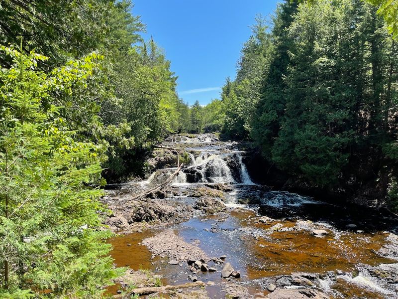
Copper Falls drops roughly 30 feet over a series of reddish-brown rock ledges, and the coloring comes from iron-rich minerals rather than actual copper. The Bad River splits around a small island just above the falls, creating two distinct channels that merge again below.
An observation deck positions you close enough to feel the spray on humid days, and the sound of rushing water dominates the area even during drier months. Photographers favor early morning light when the sun angles through the trees and catches the mist.
The falls sit about halfway through the loop, making them a natural stopping point before continuing downstream. Erosion continues to shape the rock face, and subtle changes occur over the years as softer layers wear away faster than harder basalt.
Accessibility to this viewpoint requires navigating some stairs, but the deck itself offers stable footing and railings for safety.
Brownstone Falls Adds A Second Waterfall Stop
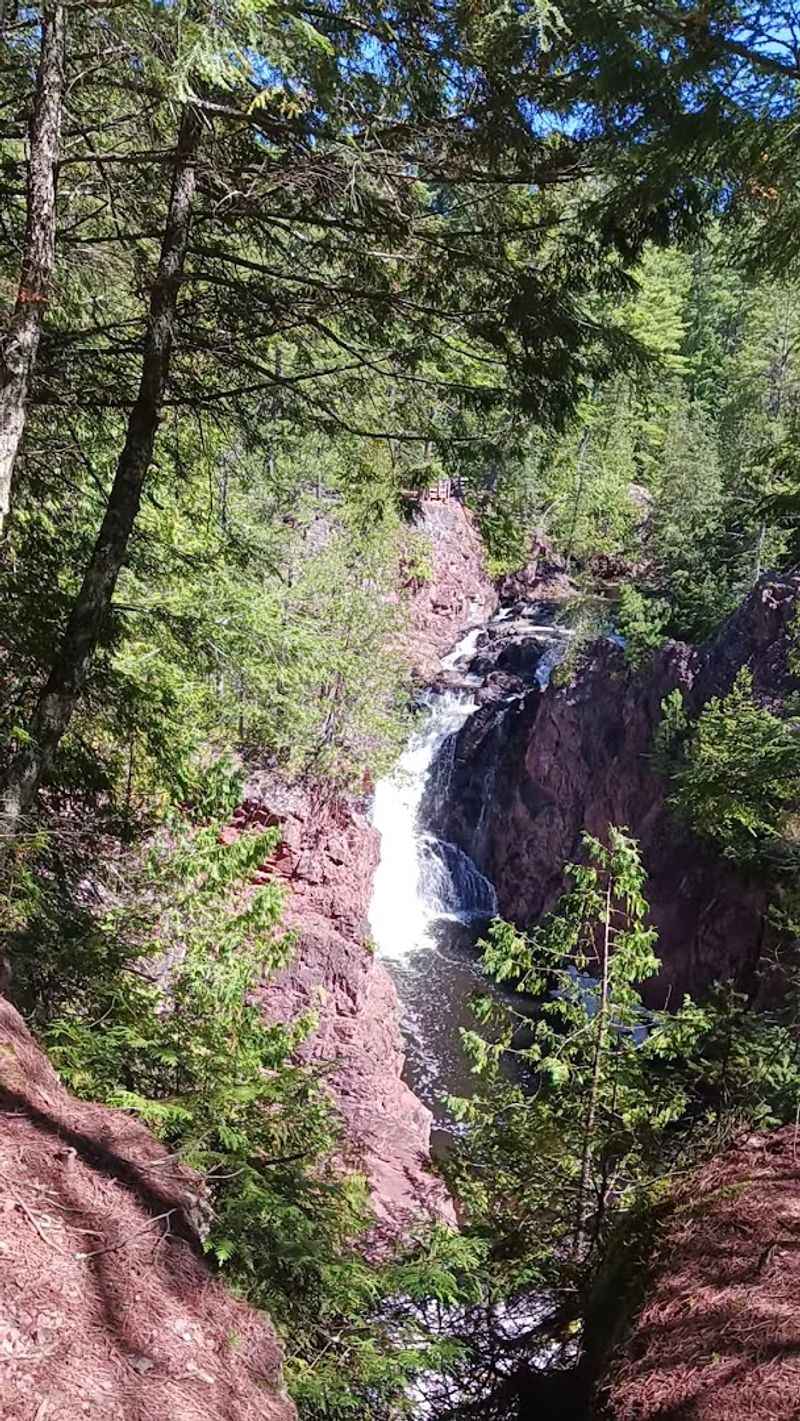
Brownstone Falls presents a wider, more horizontal cascade compared to the vertical plunge of Copper Falls. The brownstone here refers to the sedimentary rock layers visible in the cliff face, which contrast with the darker volcanic rock found elsewhere in the park.
Water spreads across a broader ledge before dropping about 30 feet, and during high flow periods the entire rock face gets covered. Lower water levels reveal more of the underlying structure and individual channels carved into the stone.
The trail approaches this waterfall from both above and below, offering different perspectives on the same feature. Upstream, you can see where the river narrows before spreading out at the falls, while downstream views show the pool where the water collects before continuing through the gorge.
Timing a visit after heavy rain or during snowmelt season maximizes the visual impact, though even moderate flows create enough movement to hold your attention.
The Trail Follows The Bad River Gorge
Bad River has carved a gorge that reaches depths of over 100 feet in some sections, and the trail skirts along the rim for much of the loop. Looking down into the gorge reveals layers of rock deposited over millions of years, with the river continuing its slow work of cutting deeper.
The gorge walls support vegetation that clings to small ledges and crevices, creating a vertical garden of ferns, mosses, and small trees. Birds nest in the cliffs during spring and summer, and the cool air rising from the water below moderates temperatures along the trail.
Several overlooks provide safe vantage points to peer into the gorge without getting too close to the edge. The river itself appears deceptively calm from above, though the current moves swiftly through the narrow channel.
Geological forces that created this gorge began with volcanic activity and continued through glacial melt and steady erosion, a process still unfolding today.
Tyler Forks Cascades Add More Movement
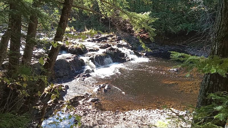
Tyler Forks joins the Bad River within the park, and where the two waterways meet creates a series of smaller cascades and rapids. The water here moves quickly over uneven bedrock, creating constant motion and sound that differs from the single-drop waterfalls upstream.
A side trail branches off the main loop to reach better viewing spots for these cascades, adding a few extra minutes to your hike. The area around Tyler Forks tends to be slightly less crowded than the main waterfall platforms, making it a good spot to pause if you want more solitude.
Spring runoff turns the cascades into a more aggressive display of hydraulic force, while late summer reveals more of the underlying rock structure as water levels drop. The mixing of two river systems here also creates interesting patterns in the flow and occasional small whirlpools.
Fishing is permitted in the park, and this confluence attracts anglers looking for trout in the cooler waters.
Observation Decks Offer Easy Scenic Payoffs
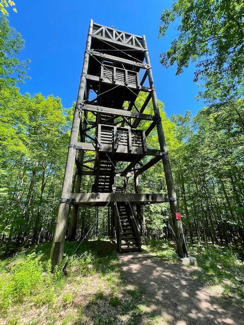
Multiple observation decks punctuate the trail, each positioned to frame specific views of waterfalls, gorges, or river sections. These platforms were built using local materials and designed to blend into the landscape while providing stable, accessible viewing areas.
Railings on all decks make them suitable for visitors of varying mobility levels, and the surfaces remain clear of obstacles. Some decks extend out over the gorge, offering a perspective that would be impossible to achieve safely from the natural terrain.
Benches at several locations invite you to sit and watch the water for a while, and the decks also serve as good spots for group photos without blocking the trail. Maintenance crews inspect and repair these structures regularly, though weather and age show in the weathered wood.
The decks transform what could be risky scrambling over wet rocks into a relaxed viewing experience, opening the scenery to a much wider range of visitors without diminishing the sense of immersion.
Stone Steps And Bridges Add Trail Character
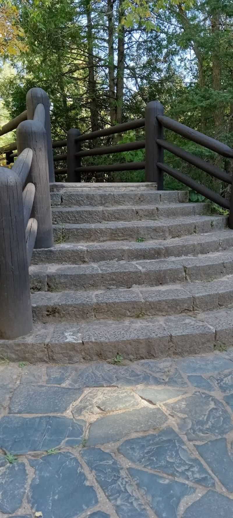
Stone staircases and bridges throughout the loop bear the marks of Depression-era craftsmanship, built by Civilian Conservation Corps workers in the 1930s. The stones were fitted together without mortar in many places, relying on careful placement and gravity to hold them in position.
These features serve practical purposes by managing elevation changes and crossing small streams, but they also contribute aesthetic value that modern construction rarely matches. Moss grows on the shaded stones, and the edges have worn smooth from decades of foot traffic.
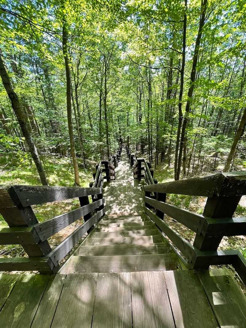
Some sections involve climbing or descending 50 or more steps, which can challenge visitors with knee problems or limited stamina. Handrails exist in steeper sections, though not everywhere.
The bridges cross small tributaries and wet areas where the trail would otherwise become muddy or impassable during wet seasons. Each structure reflects a time when park development prioritized durability and integration with natural surroundings over speed or cost efficiency.
The Route Connects With The North Country Trail
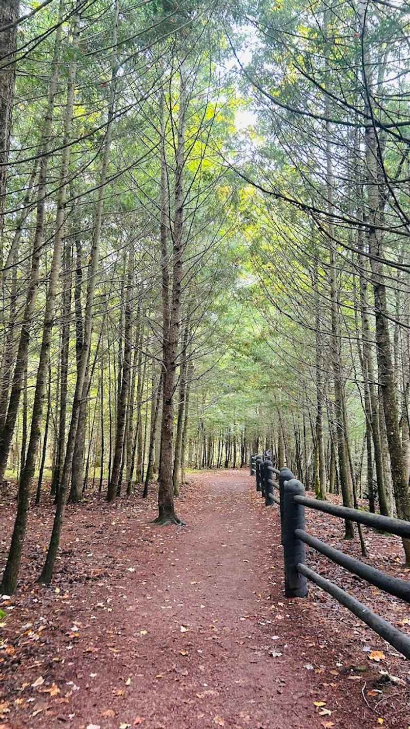
The North Country National Scenic Trail stretches over 4,600 miles from New York to North Dakota, and a segment passes directly through Copper Falls State Park. Doughboy’s Loop intersects with this long-distance route, allowing hikers to extend their journey in either direction if they choose.
Signage at the junction clearly marks which path continues the loop and which heads off on the North Country Trail. Thru-hikers occasionally pass through the park as part of multi-week or multi-month journeys, though most visitors stick to the shorter loop.
This connection places Doughboy’s Loop within a larger network of trails that spans multiple states and ecosystems. The North Country Trail Association maintains the longer route with help from volunteers, and conditions can vary significantly depending on season and recent weather.
For day hikers, knowing this connection exists adds context to the experience, linking a simple afternoon walk to a much grander vision of long-distance hiking across the northern United States.
The Park Was Shaped By Ancient Lava Flows
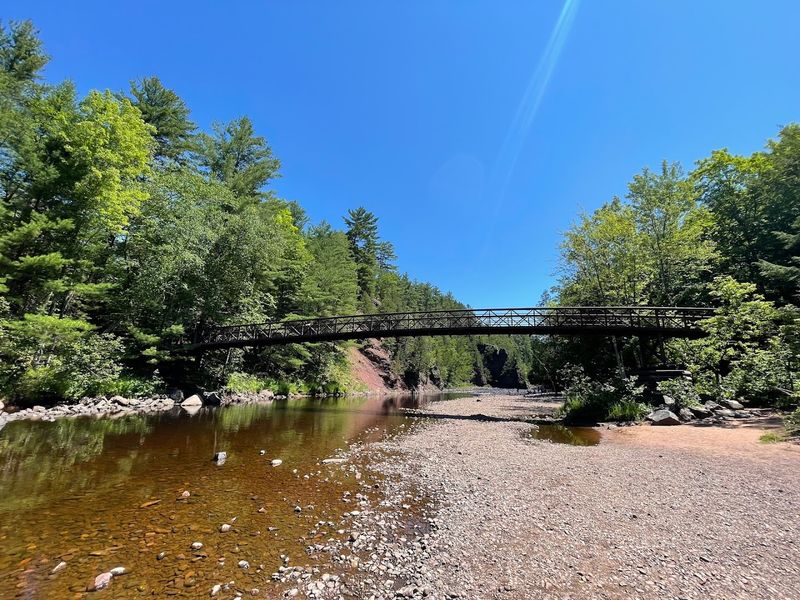
Volcanic activity over a billion years ago deposited the basalt and rhyolite visible throughout Copper Falls State Park. These igneous rocks form the foundation of the gorge and the ledges over which the waterfalls pour, creating scenery that owes its existence to ancient geological violence.
Glaciers later scoured the landscape, removing softer materials and accentuating the harder volcanic formations. The result is a terrain of exposed bedrock, steep cliffs, and resistant ridges that give the park its distinctive topography.
Interpretive signs along the trail explain how these forces interacted over unimaginable spans of time to produce what you see today. The reddish and brownish tones in some rocks come from iron oxidation, while darker sections reveal unweathered basalt.
Understanding this geological history transforms the hike from a simple nature walk into a journey through deep time, where every rock and cliff face tells part of a story that began long before humans existed.