
This Underrated Wyoming National Forest Is Perfect For Hikers Seeking True Solitude
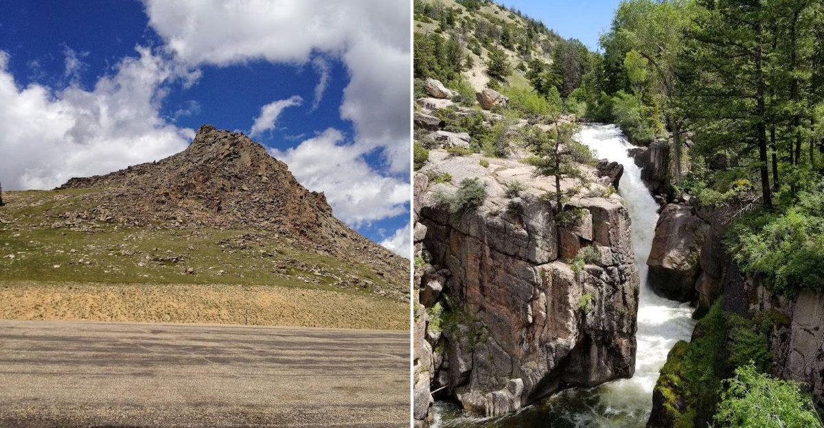
Solitude this complete requires a forest willing to keep its trails quiet, and this Wyoming national forest has managed that without any apparent effort. The crowds went elsewhere, and the trees never noticed the difference.
Trails here empty past the first mile and stay that way. Whatever the hiker carried in from the parking lot tends to dissolve somewhere around the second bend without announcing its departure.
Photographers, serious hikers, and anyone who needed somewhere genuinely large enough to feel alone in have all arrived at the same conclusion. This forest gives back more than the drive suggested it would.
Wyoming keeps its best outdoor spaces distributed across landscapes that discourage casual exploration.
This national forest rewards the effort required to reach it with something that the state’s more celebrated destinations rarely deliver as completely.
Trail Diversity Terrain Challenges
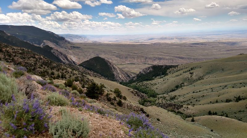
Over 1,200 miles of trails spread across the Bighorn National Forest. That number alone should get any hiker excited.
You can find everything from flat canyon walks to serious alpine climbs.
The Tongue River Canyon Trail runs 4.7 miles alongside rushing water. It stays relatively flat, making it great for beginners.
The canyon walls rise dramatically on both sides, which makes the scenery feel almost cinematic.
Then there are trails like Mirror Lake and Lost Twin Lakes, which push your endurance. Steep switchbacks and loose rock are common at higher elevations.
The Story Penrose Trail is a good example of terrain that demands respect.
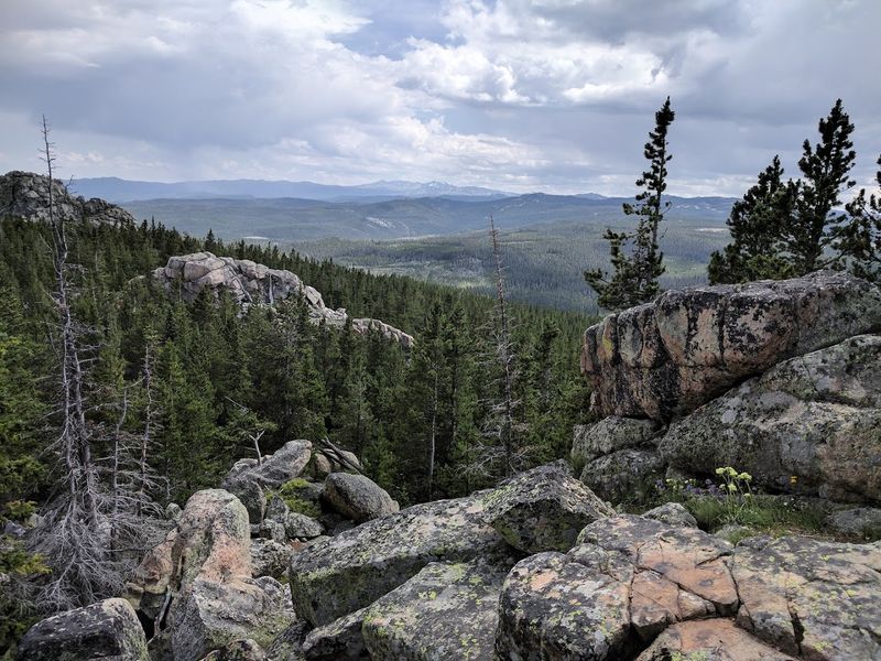
Black Mountain Lookout Trail rewards hikers with full 360-degree views from the summit. Cloud Peak, the highest point at 13,189 feet, draws serious mountaineers every summer.
Much of the forest sits above 4,900 feet, so altitude awareness matters.
Red Grade Trails offer solid wildlife viewing along with great ridge views. The Solitude Trail lives up to its name with long, remote backcountry stretches.
You can start planning your visit by contacting the office at 2013 Eastside 2nd St, Sheridan, WY 82801.
Flora Fauna Unique To The Region
Wildlife here does not wait for an invitation. Elk, moose, and mule deer move through the forest with confidence.
Black bears and mountain lions also call this place home, so awareness is part of the experience.
Lower elevations support pronghorn antelope and greater sage-grouse. Sagebrush habitats provide critical cover and food for these species.
Beavers and snowshoe hares are spotted near water sources and riparian zones.
Birdwatchers have a real reason to visit. The Bighorn owl adds a layer of mystery to dawn hikes.
Spotted bats are rare and fascinating residents of the darker canyon zones.
Plant life shifts dramatically with elevation. Lodgepole pines, Douglas firs, and Engelmann spruces dominate mid-elevation forests.
Ferns and mosses carpet the shaded forest floor beneath them.
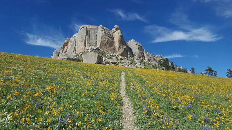
Spring and summer bring wildflower explosions across alpine meadows. Cary’s penstemon is a rare species found only in select spots.
Aspen groves turn brilliant gold each fall, making October hikes feel almost surreal.
Poison ivy grows along lower canyon trails, so long pants are a smart choice. Riparian and aspen communities support the highest biodiversity in the forest.
Every season reveals a completely different version of this landscape.
Best Seasons For Undisturbed Wilderness
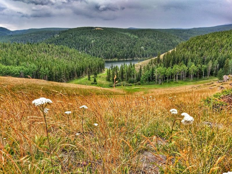
Mid-August to mid-September is the quietest window on the trails. Bug season winds down, wildflowers are fading, and temperatures drop to comfortable levels.
This stretch is genuinely the sweet spot for solitude seekers.
Summer runs from June through early September with mostly reliable weather. Snow melts enough by late June to open higher trails and forest roads.
Wildflower blooms peak during July, painting meadows in purple, yellow, and white.
Fall hiking brings a different kind of reward. Aspen groves turn vivid gold, and the crowds thin out fast.
Clear skies and cool mornings make September and October especially pleasant for long days out.
Spring is dramatic but unpredictable. Snowmelt creates rushing streams and muddy trail conditions.
Roads at higher elevations may still be closed well into May or even June.
Winter transforms the forest entirely. Most trails become inaccessible without snowshoes or skis.
Some visitors prefer this version of the Bighorns for its raw, unfiltered quiet.
Higher ground rarely becomes fully snow-free before July. Planning around that reality saves a lot of frustration.
Always check current conditions before committing to a high-elevation route.
Safety Tips For Remote Backcountry Hiking
Always tell someone your full plan before leaving the trailhead. Include your starting point, route, and expected return time.
Confirm with that person once you are safely back.
Pack the essentials every single time. A map, compass, first aid kit, extra food, water, and layers are non-negotiable.
Mountain weather can flip fast, and being underprepared is a real risk.
Bears are active throughout the forest. Store all food in bear-resistant containers and keep campsites clean.
Carry bear spray and know how to use it before you need it.
Mountain lions inhabit the area, especially at dawn and dusk. Avoid hiking solo during those hours when possible.
Keep small children close at all times on the trail.
If you get lost, stop moving and stay calm. Backtrack carefully if the route is clear.
If not, stay put and wait for search and rescue teams to find you.
Thunderstorms build fast in the afternoons during warmer months. Move to lower ground and away from exposed ridges immediately when thunder starts.
Lightning at elevation is not something to wait out.
Poison ivy is common on lower canyon trails. Wear long pants and check your gear after hiking through dense brush.
A little preparation prevents a very uncomfortable week afterward.
Camping Spots In Secluded Areas
Dispersed camping is one of the best-kept secrets in the Bighorn National Forest. You can camp in most undeveloped areas for up to 14 days.
No reservations, no crowds, just you and the trees.
The Tongue Ranger District manages 284 miles of roads open to dispersed camping. Circle Road and Crazy Woman Canyon Road are popular starting points.
Both routes lead to genuinely remote spots with real privacy.
Grouse Mountain Basecamp and Canyon Creek Dispersed areas offer good primitive options. These sites have no amenities, which keeps the casual camper crowd away.
Bring everything you need because there are no services out there.
Castle Gardens provides shade structures, picnic tables, and fire rings for those who want a little more comfort. Little Goose Campground is small, remote, and rarely crowded.
Owen Creek Campground sits west of Highway 14 in a peaceful forest setting.
Circle Park Campground is close to the Cloud Peak Wilderness trailhead. Boulder Park Campground follows Tensleep Creek and offers beautiful streamside sites.
Hettinger Group Campground sits in an isolated pocket off U.S. Highway 16.
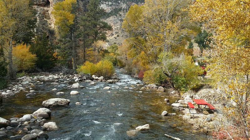
Hilltop sites with canyon views exist if you are willing to explore. Riverside spots next to cold mountain streams are hard to beat on a hot night.
The quieter the road, the better the campsite.
Navigational Tools For Off Trail Exploration
Going off trail in the Bighorns requires solid navigation skills. Paper topographic maps are still the most reliable tool in the backcountry.
USGS quadrangle maps give you the finest detail for planning remote routes.
A compass paired with a topo map is a combination that never runs out of battery. Learning to orient a map to the landscape takes practice.
Start on familiar terrain before trusting those skills in an unfamiliar country.
GPS devices have become a strong addition to any hiker’s kit. They track your position in real time and log your route as you move.
That trail breadcrumb can save you on a cloudy day when landmarks disappear.
Smartphone apps like Avenza Maps allow you to download Motor Vehicle Use Maps for offline use. MVUMs are the official maps showing designated roads and trails in the forest.
They let you measure distances and plot waypoints without a cell signal.
Satellite imagery through Google Earth helps you study terrain before you go. Identifying steep slopes, dense vegetation, and potential water sources from home is a smart move.
Altimeter watches give quick elevation checks when you are unsure of your position.
Always use multiple tools together rather than relying on just one. Technology fails.
Paper does not catch a signal, but it also does not need one. Bring both and know how to use them.
Impact Of Weather Patterns On Hiking Conditions
Mountain weather in the Bighorns earns its reputation for being unpredictable. Snow has fallen in August at elevations above 10,000 feet.
That is not a rumor. It has happened to plenty of surprised hikers.
Spring conditions make trails and roads especially vulnerable. Wet soils displace easily under foot traffic and vehicle tires.
Damage done during mud season can take years to repair naturally.
Afternoon thunderstorms are a summer staple in the Bighorns. They tend to build quickly between noon and 3 PM.
Being on an exposed ridge during that window is not a situation you want to be in.
Lightning safety should be part of every trip plan. Move below treeline and away from open ground the moment thunder rolls.
Do not wait to see the lightning before reacting.
Snowpack at higher elevations often lingers well into July. The Natural Resources Conservation Service publishes snowpack data that helps with planning.
Most upper trails are not passable until the snow fully clears.
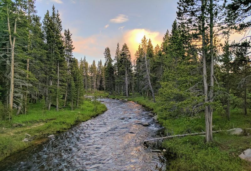
Flooding is a real risk near creek drainages after heavy rain. Check current hydrologic outlooks before camping near water.
A site that looks perfect at noon can become dangerous by midnight.
Always check local forecasts the morning of any planned hike. Conditions at the trailhead and conditions at the summit can be completely different.
Flexibility in your plan is not a weakness. It is wisdom.
Local Conservation Efforts Protecting Wilderness
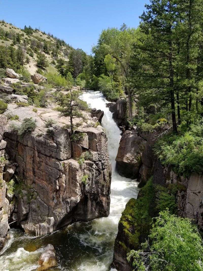
The U.S. Forest Service manages the Bighorn National Forest with a focus on long-term sustainability.
Balancing public access with environmental protection is an ongoing process. Policies here aim to keep the land healthy for future generations.
The Cloud Peak Wilderness was designated in 1984 and covers 191,914 acres. No motorized or mechanical equipment is permitted inside its boundaries.
Access is limited to foot travel or horseback, which keeps the interior genuinely wild.
A registration form is required to enter the Cloud Peak Wilderness area. Leave No Trace principles are strongly encouraged throughout the entire forest.
These practices help reduce the cumulative impact of thousands of annual visitors.
Habitat improvement projects are an active part of forest management. Crews cut encroaching conifers to protect riparian areas and aspen communities.
Felled trees act as natural barriers that reduce browsing pressure on new plant growth.
Restricting public firewood gathering protects standing trees known as snags. Snags are critical habitat for cavity-nesting birds and small mammals.
Removing them disrupts entire food chains that depend on their presence.
Seasonal road and trail closures protect wildlife during sensitive periods. The Council for the Bighorn Range advocates for wilderness and roadless land protection.
They monitor threatened and endangered species and push for stronger conservation policies.
The Roadless Area Conservation Rule adds another layer of federal protection. These combined efforts help ensure the Bighorns remain a true wilderness destination.