
This Tiny California Town In The Sierra Nevada Mountains Will Take Your Breath Away
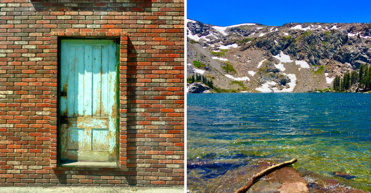
High in the mountains, one tiny town keeps stealing the spotlight.
Thin air, sharp light, and peaks that seem to touch the sky set the mood here. A single road once built for silver traffic still shapes the whole story of this pocket of California.
Trails climb into wilderness that barely sees a footprint. Hot springs steam quietly nearby, and cold rivers cut through pine and granite without a hint of hurry.
Cyclists chase brutal mountain passes for the views alone, legs burning the whole climb. History sits close enough to touch, folded into old buildings and hillside museums across this stretch of California high country.
Ready to trade noise for altitude? Plan a slow visit and let the scenery do the talking.
Silver Dreams And A Toll Bridge Beginning
Silver started it all. In the 1860s, prospectors poured into the eastern Sierra Nevada chasing mineral wealth, and a crossroads settlement took shape.
Jacob J. Marklee built a toll bridge here in 1861.
His timing was sharp, since traffic streamed toward the booming Silver Mountain City nearby.
That single business decision put Markleeville on the map. A modest land claim grew into a real town with real ambitions.
By 1875, Markleeville had become the county seat of Alpine County. Marklee himself did not live to see it, having passed away not long after the town took shape.
The mining fever eventually cooled, as fevers do. What remained was a quiet mountain community surrounded by wilderness instead of ore carts.
Visitors today find the town at California 96120, sitting in Alpine County, California, in the United States. It is small enough to walk end to end without breaking a sweat.
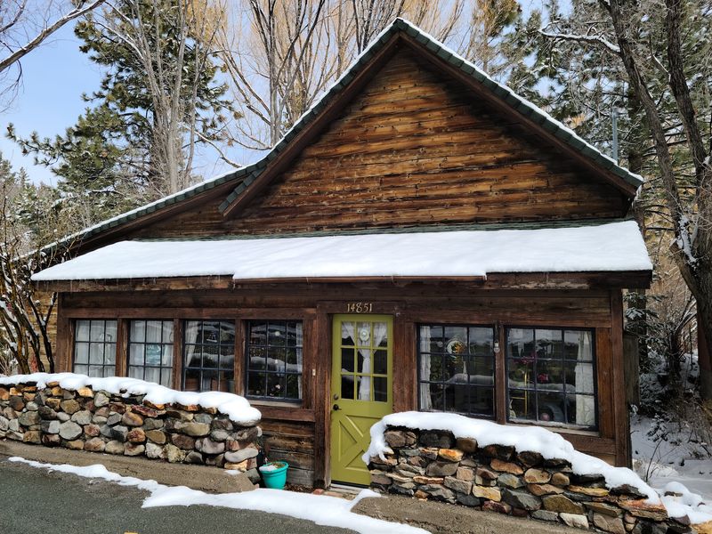
Old buildings still line the road, some moved here piece by piece from vanished settlements. History in Markleeville is not behind glass, it is standing right there on the street.
Peaks, Meadows And Air That Feels Thinner
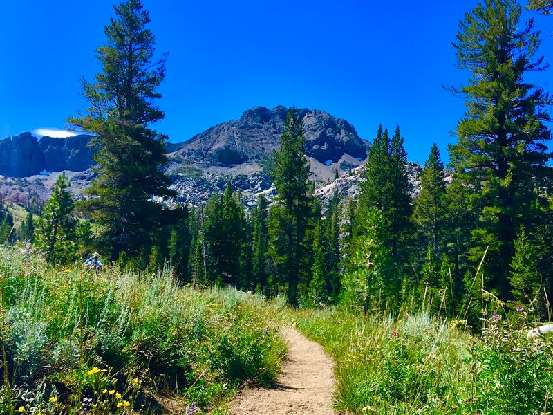
Elevation changes everything. At roughly 5,500 feet, Markleeville breathes cooler and cleaner than the valleys far below.
Mountains rise on nearly every side. Rugged valleys, ancient lava rock formations, and open sagebrush flats trade places as the road climbs.
The Mokelumne and Carson-Iceberg Wildernesses spread out nearby, protecting huge stretches of backcountry. Trails there see far fewer boots than the famous parks farther west.
Snowmelt feeds clear streams through late spring and early summer. Those cold currents run into alpine meadows where wildflowers put on a brief, bright show.
Pines dominate the skyline around Markleeville, tall and dark against strong blue sky. Granite outcroppings break through the green in sudden gray shoulders.
Quiet is the real headline here. Traffic noise fades fast, replaced by wind, water, and the occasional bird call.
Photographers tend to linger longer than planned. Light shifts quickly at this altitude, and each hour paints the ridges differently.
Anyone craving open space without crowds will understand the appeal within minutes. The scenery does the convincing all by itself.
A Hilltop Museum With A Log Jail
An old log jail still stands on a knoll above town. It anchors the Alpine County Museum and Historical Complex, one of the most rewarding stops in Markleeville.
The view alone justifies the short climb. From up there, the historic townsite and surrounding ridges lay out clearly.
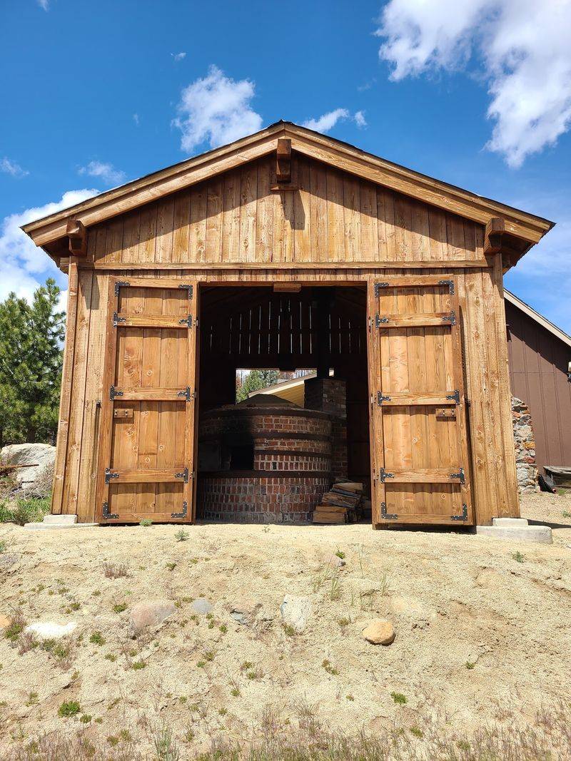
Outdoor exhibits fill the grounds. A Webster School House, a Basque bread oven, a stamp mill, and antique mining machinery sit in the open air.
Wandering between them takes time, and that is the point. Each piece explains how people worked, learned, and survived in this high country.
The Basque bread oven surprises many visitors. It hints at ranching families who shaped Alpine County long after the silver boom faded.
The complex generally opens from Memorial Day weekend through the end of October, since winter arrives early at this elevation. Checking ahead before driving up is wise.
Kids usually gravitate toward the mining gear, all gears and iron and mystery. Adults often stay near the schoolhouse, reading the small details.
History here feels touchable rather than theoretical, and that makes it stick.
Trails For Every Set Of Legs
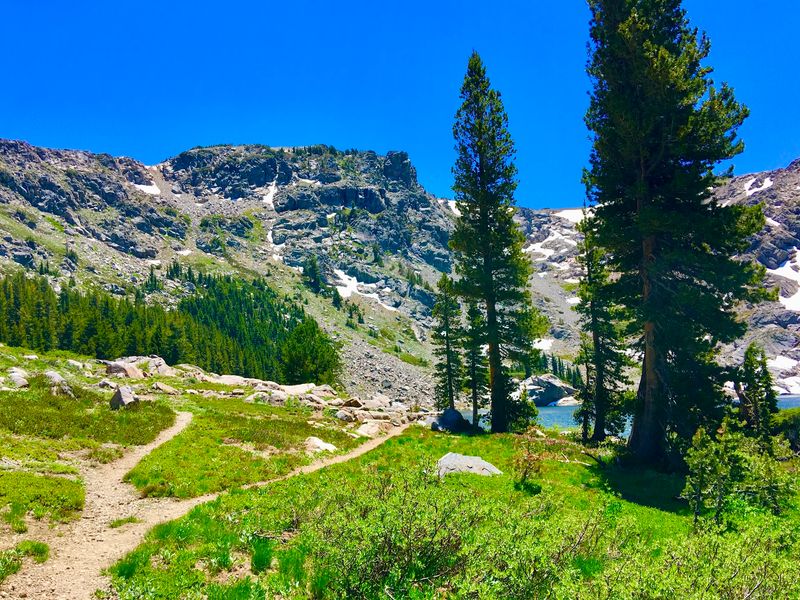
Boots optional, curiosity required. Trails around Markleeville range from flat strolls to serious backcountry pushes.
Heritage Park and Nature Area offers an easy start close to town. Short, shaded, and gentle, it suits families and anyone still adjusting to altitude.
Grover Hot Springs State Park holds the Transition Nature Walk. The route moves between pine forest and open meadow, showing how quickly habitats change here.
Longer routes climb into the Mokelumne Wilderness. Others branch off near Ebbetts Pass, gaining elevation quickly and rewarding hikers with wide views.
Altitude deserves respect on every trail near Markleeville. Water, sun protection, and a slower pace prevent most problems.
Afternoon thunderstorms can build in summer, so early starts pay off. Mornings also bring calmer air and better light.
Wildlife sightings happen often enough to keep eyes moving. Deer, hawks, and busy chipmunks make regular appearances.
Trail traffic stays light compared with better-known Sierra destinations. Solitude is not guaranteed, though it is far easier to find.
One good hike here usually convinces visitors to plan a second.
Climbing Passes On Two Wheels
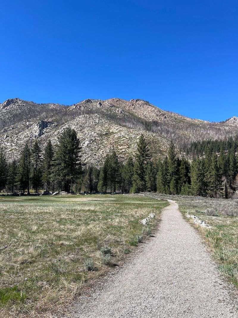
Cyclists call this area the California Alps, and the grades explain why. Markleeville sits at the heart of some of the state’s toughest riding.
Monitor Pass and Ebbetts Pass loom in both directions. Both climbs deliver switchbacks, sustained effort, and panoramas that make the burning legs worthwhile.
The Death Ride, officially the Tour of the California Alps, has drawn riders here for decades. It links multiple passes into one long day of climbing.
Even outside that event, the roads stay popular with road and touring cyclists. Shoulders are narrow in places, so attention matters.
Thin mountain air adds difficulty that surprises flatland riders. Descents cool things down fast, making a light layer smart.
Pass roads typically close under snow from November into early June. Summer and early fall offer the reliable window.
Support in Markleeville stays simple, with limited services and long gaps between stops. Carrying extra water and food is basic sense.
Riders often describe these climbs as the highlight of a Sierra Nevada trip. The mountains hand out no shortcuts, only views.
Warm Water In A Cold Landscape
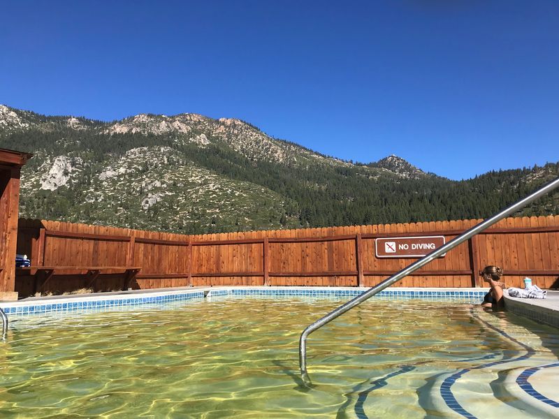
Steam rising in a pine forest looks almost unreal. Grover Hot Springs State Park delivers exactly that, a short drive from Markleeville.
The park features a hot pool alongside a cooler swimming pool. Open pine forest, sagebrush, and meadow surround the whole setting.
Soaking after a long hike changes the mood of an entire day. Sore muscles ease, and the mountain air feels twice as fresh.
The park also holds a campground, a picnic area, and its own hiking trails. Making it a full outing rather than a quick stop is easy.
Pool availability can vary with seasons and maintenance, so confirming conditions ahead avoids disappointment. Snow lingers here well into spring.
Another option sits closer to the East Fork of the Carson River. The Carson River Hot Springs consist of rough natural pools built by enthusiasts to capture and cool warm ground water.
Those pools are primitive and unmanaged, which means care and common sense apply. Water temperatures shift, and access depends on river levels.
Either way, warm water in this cold country feels like a small mountain reward.
Sixty-One Miles Of Scenic Byway
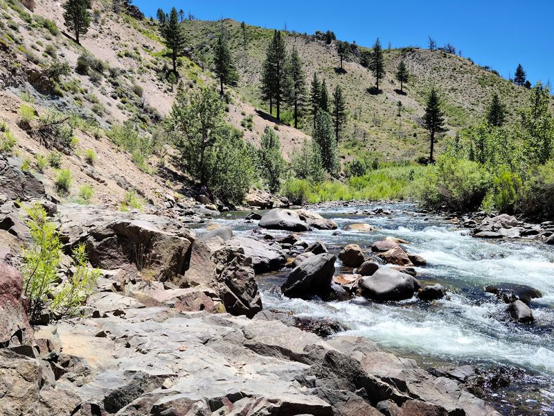
Some roads deserve a slow gear. The Ebbetts Pass National Scenic Byway is one of them, running about 61 miles along parts of Highways 4 and 89.
The route passes near Markleeville and threads through dramatic Sierra Nevada terrain. Glacially carved valleys, granite outcroppings, and ancient volcanic peaks appear one after another.
Narrow sections make the drive feel intimate rather than grand. Drivers slow naturally, which is the correct response.
Pullouts invite short walks and photo stops. Skipping them wastes the whole point of the byway.
Fall brings golden aspens along parts of the corridor. Summer offers wildflowers and long daylight for unhurried exploring.
Winter closes the high sections entirely, usually from November through early June. Planning around that window prevents a long backtrack.
Cell service comes and goes, so downloading maps beforehand helps. Fuel stops are sparse in this stretch of California.
Drivers who allow extra hours end up happiest. The byway rewards patience with views that keep raising the bar.
A single afternoon here reshapes how anyone pictures mountain driving.
Casting A Line In Cold Mountain Water
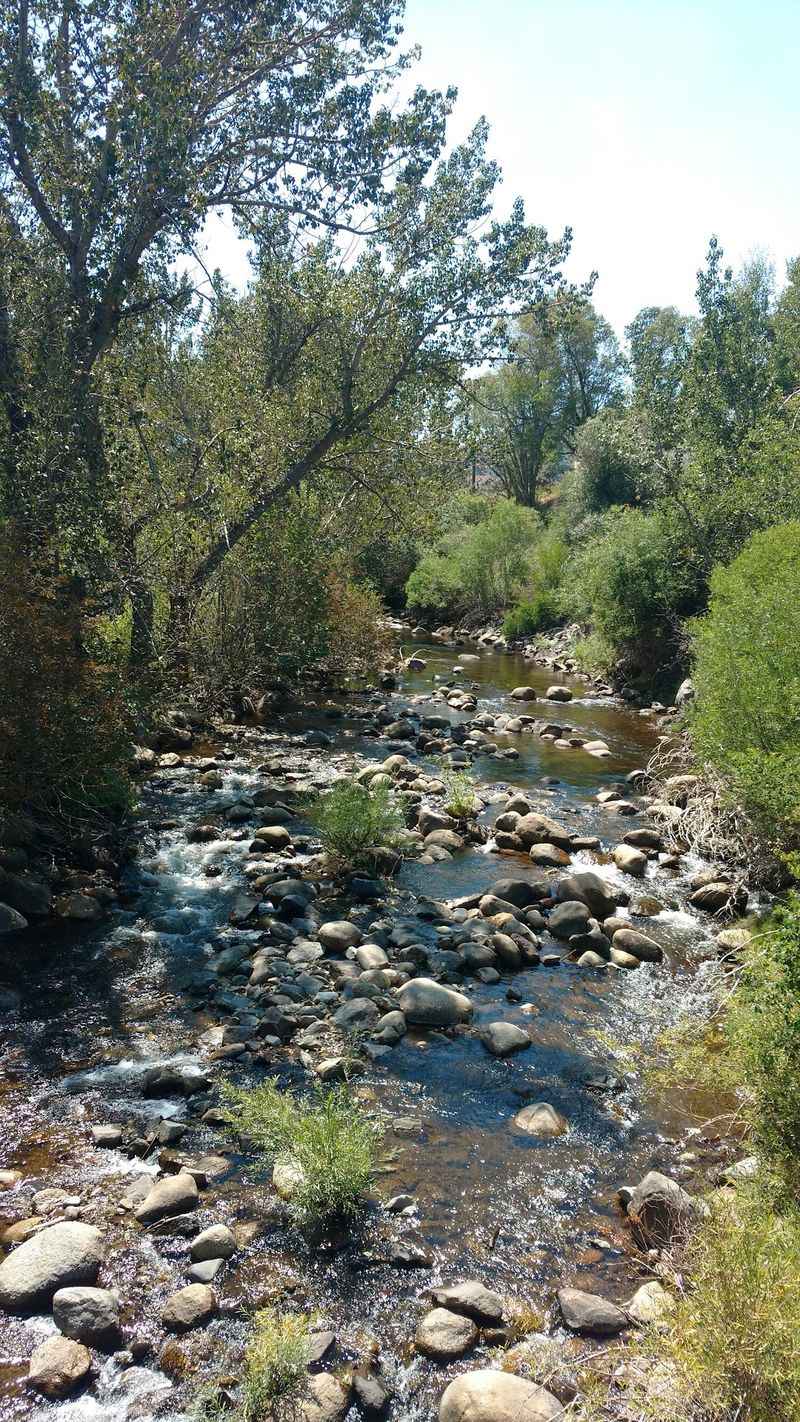
Trout country starts right at the edge of town. The Carson River and Silver Creek draw anglers to Markleeville year after year.
Clear water runs cold and quick over rounded stones. Deep pools hide behind boulders, exactly where patient casting pays off.
Numerous streams and small alpine lakes in the area receive trout stocking. That mix gives beginners a fair chance and keeps experienced anglers curious.
Mornings tend to be calm and quiet. By midday, wind often picks up across the open valley.
California fishing regulations apply, including licenses and seasonal rules that can change. Checking current requirements before the first cast is essential.
Waders help early in the season when snowmelt keeps the water bracing. Sturdy footwear matters on slick riverbed rocks.
Half the appeal has nothing to do with fish. Sitting beside moving water with pines overhead resets a busy mind quickly.
Access points near Markleeville stay uncrowded compared with famous Sierra Nevada waters. Finding a private bend is often as simple as walking a few extra minutes.
Patience is the only gear that never runs out.
One Hundred Ninety-One Neighbors Strong
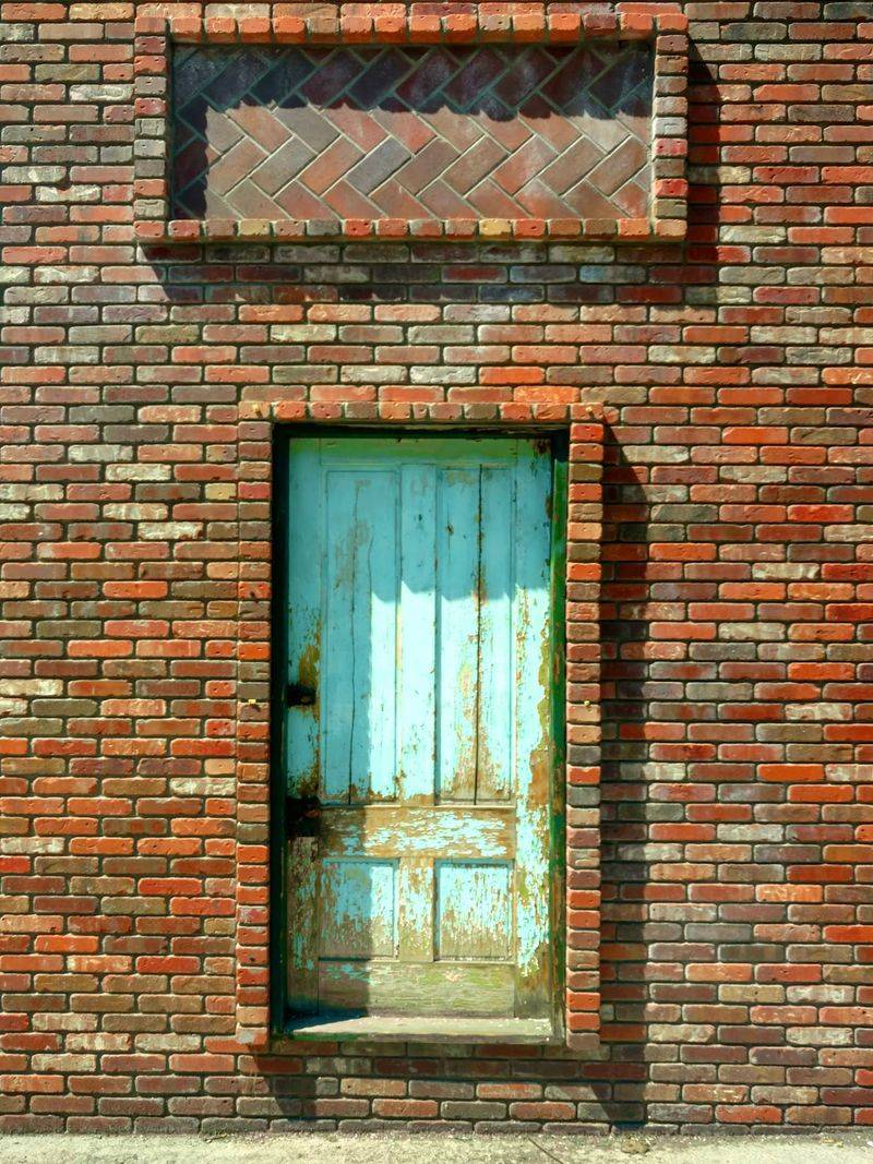
One hundred ninety-one residents. That was the 2020 census count for Markleeville, and the number says plenty about daily life here.
Small does not mean sleepy. A handful of restaurants and cafes keep the main road active through the warmer months.
A historic tavern building, originally moved from Silver Mountain City, now anchors part of the town’s dining scene.
The Markleeville General Store handles supplies, snacks, and conversation in equal measure. Stopping in often turns into a useful local briefing.
Residents here weather heavy snow, closed passes, and long winters. That shared experience builds a tight, practical kind of community.
Visitors notice how quickly greetings happen. Eye contact and a nod are standard currency in Alpine County.
Services stay limited by design and geography. Planning meals and supplies around opening seasons avoids frustration.
The scale of Markleeville is exactly what draws people back. Nothing feels manufactured for tourists, because there simply are not enough people to fake it.
Genuine mountain town character survives here, quietly and without much fuss.
An Ancient Rock Shelter Near Hangman’s Bridge
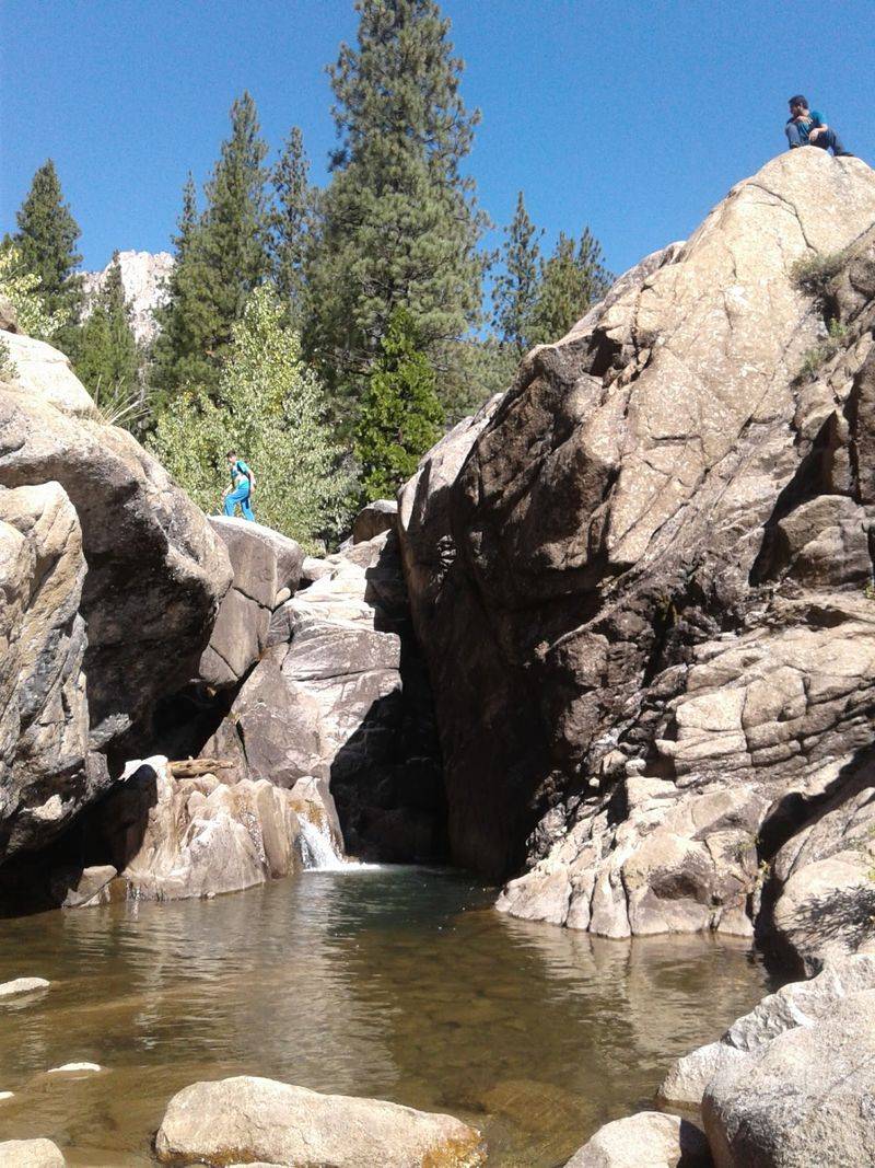
Shelter carved by nature, used for generations. Washoe Cave sits near Markleeville, a natural rock overhang with deep human history.
Great Basin Washo people relied on this grotto over many years. Native Americans from California’s central valley and the Sierra west slope also found refuge here.
A short walk from the old river crossing leads toward the site. The path follows an 1852 wagon toll road built by John Calhoun Johnson.
Layers of history stack up along that route, from Indigenous use to early wagon traffic. Few short walks pack in this much meaning.
Because of its archaeological importance, the shelter is carefully monitored. Primitive artifacts remain protected, and nothing should be moved or removed.
Visitors are expected to look, photograph, and leave everything untouched. Respect keeps the site available for future generations.
The terrain nearby is rocky and exposed, so sturdy shoes and water help. Summer heat in the canyon can surprise people.
Standing under that overhang near Markleeville shifts perspective fast. Human presence in this valley stretches back far longer than any silver claim.
Smart Planning For A High-Elevation Trip
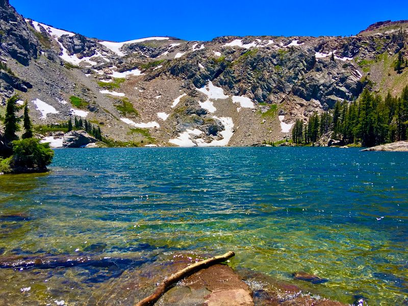
Weather calls the shots up here. Snow reaches Markleeville regularly, sometimes lingering into late spring.
Ebbetts Pass and Monitor Pass typically close under snow from November through early June. Routes that look short on a map may not be open at all.
Checking California road conditions before departure saves hours of backtracking. Conditions shift quickly at this elevation.
Layers solve most comfort problems. Mornings can start crisp while afternoons turn warm and bright.
Parking within Markleeville is usually straightforward, even near popular spots. That alone feels refreshing after crowded Sierra Nevada destinations.
The Alpine County Chamber and Visitor’s Center is worth a stop for current details. Local staff know which trails, pools, and roads are actually accessible.
Fuel, groceries, and lodging options remain limited, so arriving prepared matters. Filling the tank before entering the mountains is basic strategy.
Annual events add another planning factor. The Death Ride bicycle event and the three-day Woollystar Music Festival, featuring folk and country music, both bring extra visitors to Alpine County.
Plan loosely, pack thoughtfully, and this tiny mountain town rewards the effort generously.