
9 Peaceful Massachusetts Nature Walks With Beautiful Fall Foliage And Easy Trails
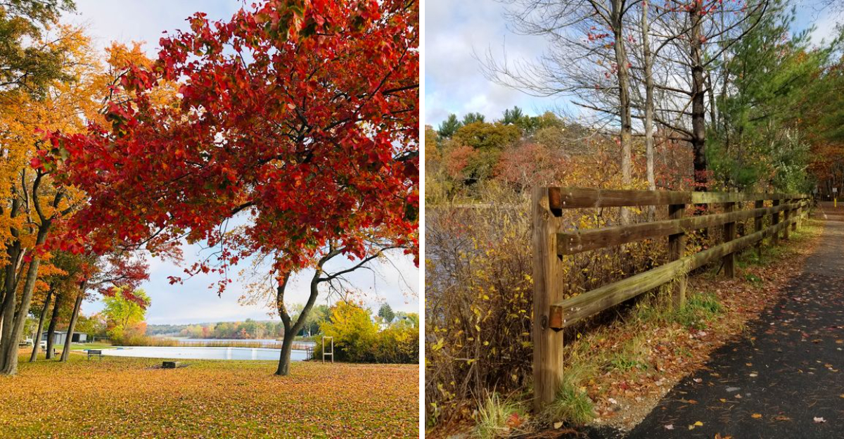
What if the best fall color did not require a steep climb or sore legs afterward? Massachusetts makes it easy to enjoy the season at a slower pace, with peaceful trails where brilliant leaves do most of the work.
These walks keep things relaxed. Paved paths, gentle woodland routes, lakeside stretches, and quiet rail trails give you plenty of time to look around instead of watching every step.
Red maples, golden branches, and fiery orange leaves can make even a short walk feel memorable.
Cooler air adds to the appeal, especially when you want fresh scenery without committing to a long hike. You can stop for photos, listen to leaves crunch underfoot, or simply enjoy the color around you.
Each trail on this list offers beautiful foliage without demanding too much effort. If you want an easy fall outing with big scenery, these Massachusetts walks are a great place to start.
1. Ashuwillticook Rail Trail, Cheshire And Adams
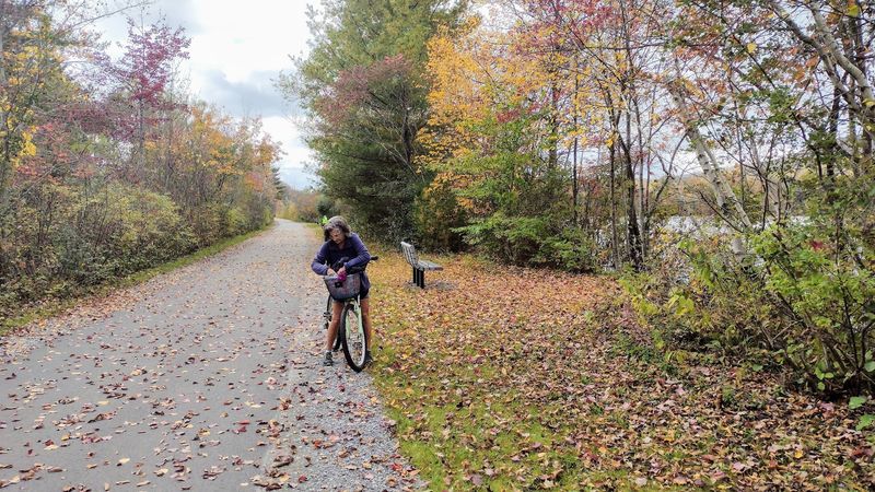
Few places in the Berkshires make autumn look this easy. The paved surface runs ten feet wide, level as a tabletop, with no roots or bumps waiting to trip you.
Built on an old railroad bed, the route stretches roughly 12.7 to 14 miles between Cheshire, Lanesborough, and Adams, with a stretch reaching Pittsfield. Walkers, runners, cyclists, and rollerbladers all share it comfortably.
Red maples crowd the edges of Cheshire Lake and the surrounding wetlands, and in October the reflection on the water doubles the color.
The path threads the Hoosic River valley between Mount Greylock and the Hoosac Mountains, so the highest peak in Massachusetts keeps peeking through the trees.
Berkshire Pond and Cheshire Reservoir supply the water views. Ospreys, herons, turtles, and songbirds supply the entertainment, often at close range.
Through the heart of Adams, old mill buildings and a friendly main street of shops and eateries line the corridor. In Cheshire, a trailside business inside a former railroad station handles refreshment duty.
Benches and picnic tables appear at sensible intervals, and parking plus restrooms are available at several access points. Fun detail for hiking fans: the Appalachian Trail crosses this path at Railroad Street in Cheshire.
Come early on a crisp weekend morning and the valley feels like it belongs entirely to you.
2. Norwottuck Rail Trail, Northampton, Hadley, Amherst, And Belchertown
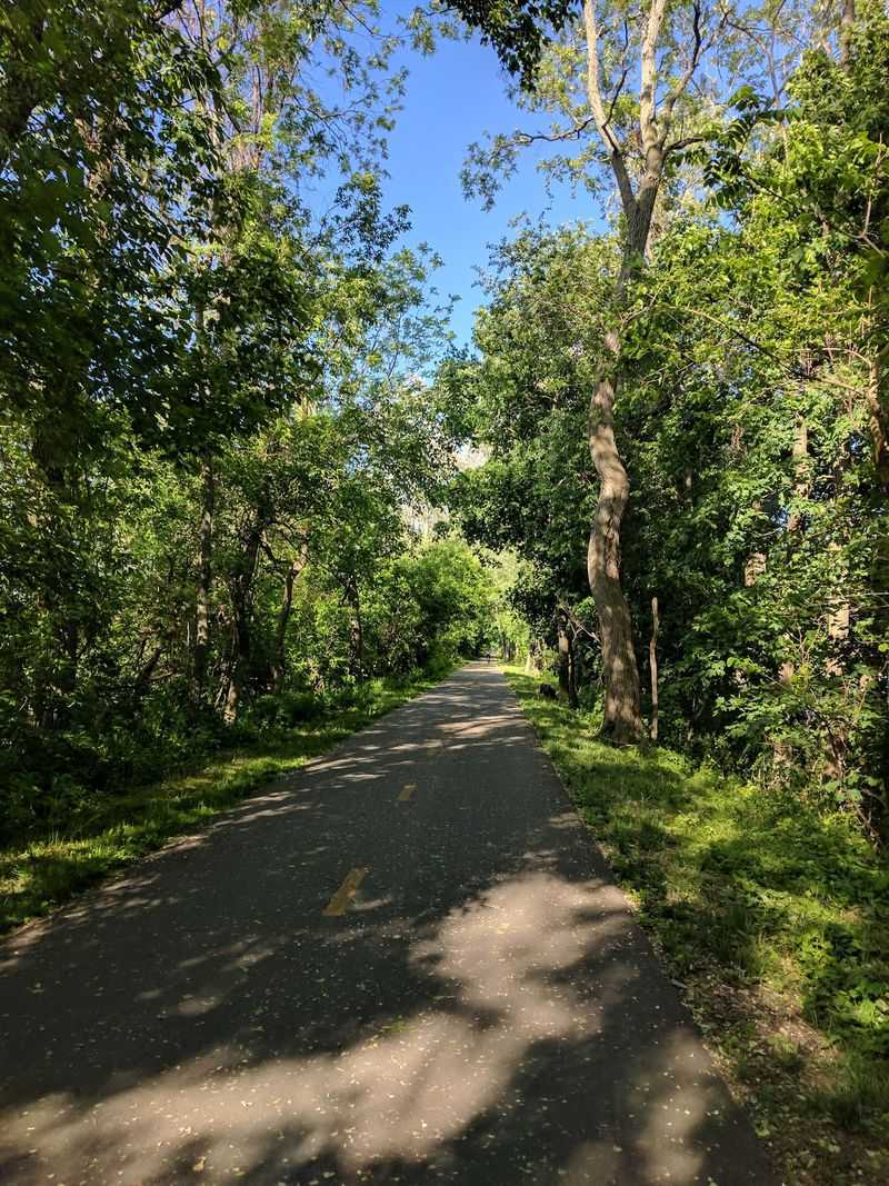
Crossing a river on a converted railroad bridge is a hard thrill to beat, and this trail delivers exactly that. The Norwottuck Rail Trail Bridge spans the Connecticut River, opening up dramatic water views in both directions.
Ten to eleven miles of smooth pavement link Northampton, Hadley, Amherst, and Belchertown. The grade stays mostly flat with only slight inclines, which is why families, casual cyclists, and rollerbladers love it.
Trees border most of the pathway, so fall turns the corridor into a leaf-strewn tunnel of color. Amherst even hosts an annual Fall Foliage Walk that includes the tree-lined ridge along the route.
Scenery shifts constantly. Farmland, corn fields, pine forest, marshland, residential streets, and the campuses of Amherst College and UMass Amherst all take a turn.
Wetlands near the Lawrence Swamp Conservation Area show off streams and water lily patches. A beaver pond toward the eastern end draws great blue herons, woodpeckers, ducks, and turtles, while deer favor the quieter stretches.
The path passes the Brickyards Conservation Area and Poor Farm Swamp, crosses the Fort River, and sits near the Emily Dickinson Trail. Look south for panoramic views of the Holyoke Range and the Seven Sisters peaks.
Picnic spots and restrooms are spaced along the way, and connections to the Northampton Bikeway and Manhan Rail Trail let you extend the day.
3. Nashua River Rail Trail, Ayer And Groton
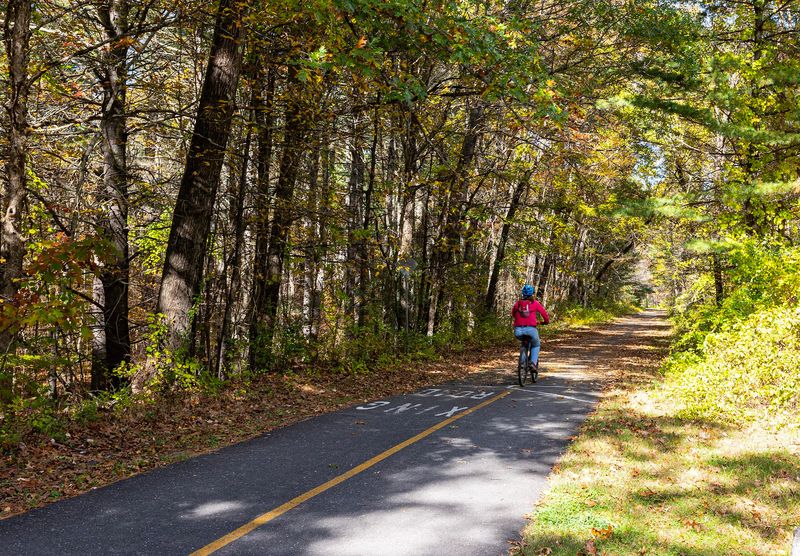
Maples, oaks, beeches, and birches take turns showing off here, which is why October traffic picks up. Deciduous forest lines much of the corridor, and the color overhead can feel almost theatrical.
Distance runs about 11 to 12.5 miles on paved, mostly flat ground. Beginning in Ayer and Groton, the route continues through Pepperell and Dunstable before slipping into southern Nashua, New Hampshire.
Riders, walkers, and rollerbladers share the pavement, while an unpaved equestrian path runs alongside for much of the way from Groton Center north to the state line. Cross-country skiers claim it once snow arrives.
Water is a constant companion. The Nashua River and Pepperell Pond keep appearing between the trees, and the pond is popular with anglers.
Wildlife sightings pile up quickly: turtles, beavers, herons, swans, owls, deer, turkeys, and bald eagles have all been spotted from the trail. The northern half feels wooded and hushed, while the southern half opens into farm fields and small ponds.
History shows up too. Century-old granite posts still stand watch, and murals inside the Groton underpasses tell the story of the old rail corridor.
A historical covered bridge crosses the Nashua River near Pepperell, and rough granite benches near Groton School Pond make a fine place to sit. The J. Harry Rich State Forest borders the trail for extra wandering.
4. Bruce Freeman Rail Trail, Lowell, Chelmsford, And Concord
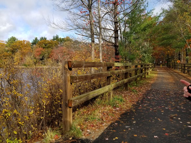
Ablaze is the word people reach for when describing this corridor in October. Tree-lined for much of its length, it turns into a long ribbon of red and gold at peak season.
The pavement measures ten feet across with two-foot packed shoulders on each side. Flat, car-free, and rated easy with minimal elevation gain, it welcomes joggers, cyclists, skaters, and stroller pushers alike.
Roughly 20 miles are in place, with plans reaching 25, connecting Lowell, Chelmsford, Westford, Carlisle, Acton, and Concord, and eventually Sudbury and Framingham.
Scenery keeps changing. Woods give way to wetlands, then open fields, then shopping districts, then quiet neighborhoods where the path follows Beaver Brook.
Heart Pond in Chelmsford brings a beach, playground, and swimming area. NARA Park in Acton adds lakeside beaches, picnic areas, and an amphitheater, which makes it an easy family base camp.
Engineering fans get a culvert tunnel beneath US 3 and a bridge over Route 2. In West Concord the trail curls through wooded wetlands and fields before crossing the Assabet River.
Watch for lily-pad-covered Ice House Pond in the Acton stretch, framed by green woods. Benches, picnic tables, and multiple parking areas keep things comfortable.
Shops in Chelmsford and Acton sit close enough for a mid-walk snack, and the route links up with the Mass Central Rail Trail.
5. Assabet River Rail Trail, Marlborough, Hudson, And Maynard
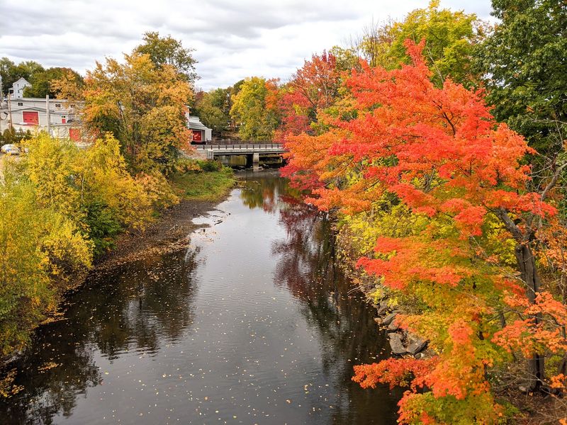
Sunlight filtering through a leafy canopy is the signature move on this path. Heavily wooded sections keep things shady, and autumn adds a warm glow to every mile.
The paved surface runs about 10.4 miles now, with roughly 12.5 planned when finished. Flat asphalt and a gentle grade make it friendly for small children, wheelchair users, runners, and rollerbladers.
Five old mill towns are stitched together here: Marlborough, Hudson, Stow, Maynard, and Acton, all in the MetroWest region of Massachusetts.
Mid-route, the trail parallels the Assabet River and offers calm water views with plenty of greenery. One bridge crossing frames renovated 19th-century mill buildings, a nice reminder of the area’s working past.
A 1.9-mile stretch slips through the 2,230-acre Assabet River National Wildlife Refuge, full of woodland and wetland habitat. Gulls, squirrels, swans, herons, kingfishers, and beaver signs all turn up for people who look closely.
Industrial leftovers add character, including abandoned railway tracks and an old railroad caboose. In Marlborough, an overlook with benches gives you Fort Meadow Reservoir.
Paddlers get four boat launches for canoe and kayak access to the river. Parking is easy at spots like Ice House Landing in Maynard.
A volunteer group called Trail of Flowers has planted flowering shrubs and trees along the way, so the corridor keeps getting prettier every year.
6. Blackstone River Greenway, Uxbridge And Millbury
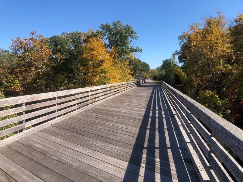
Riotous is a fair description of the color here in October. Reds, golds, yellows, and even pinks fill the woods and crowd the banks of local ponds and river bends.
The full vision is a 48-mile paved route from Worcester to Providence, Rhode Island, and good chunks are already open.
In Massachusetts you can enjoy a 3.5-mile piece from South Worcester to Millbury, a quiet 3.6-mile canalway inside Blackstone River and Canal Heritage State Park, and another 3.5 to 4.5 miles from Uxbridge toward the state line.
Surfaces are mostly paved and relatively flat, with a few crushed stone stretches. Cool autumn temperatures make the walking especially pleasant.
The greenway shadows the Blackstone River and Canal, sometimes running beside the active Providence and Worcester Railroad. Tree-lined canopies and serene river views arrive one after another.
History is stacked along the banks. Historic mills, old workers’ housing, and the canal itself explain why this valley is called the birthplace of the American Industrial Revolution.
Highlights include a boardwalk bridge over secluded marshland and a crossing at Pratt Dam using original stone piers. Birdwatching and fishing spots are plentiful.
The Adams Street lot in Uxbridge starts a five-mile section toward Woonsocket, passing the Triad Bridge with benches along the way. River Bend Farm Visitor Center covers the canal story.
7. Reformatory Branch Trail, Concord And Bedford
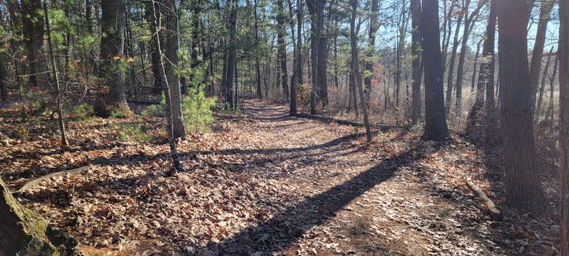
Not every great fall walk needs pavement. This nearly four-mile dirt path, roughly 3.9 to 4.5 miles depending on where you stop, keeps its old-fashioned character.
The grade stays flat and the rating is easy, though hybrid or mountain bikes handle the bumps, roots, and occasional muddy patches better than skinny tires. After heavy rain, waterproof shoes earn their keep.
Connecting the historic towns of Bedford and Concord, the corridor slips through wooded areas, wetlands, and open fields that light up nicely once the maples turn.
A long stretch runs through or beside the 3,850-acre Great Meadows National Wildlife Refuge, a freshwater wetland along the Concord and Sudbury Rivers.
Around 220 bird species visit each year, joined by white-tailed deer, muskrats, red fox, raccoons, rabbits, and weasels.
History lovers get a bonus. The trail ends a short distance from the North Bridge in Minute Man National Historical Park.
A side path leads to Author’s Ridge at Sleepy Hollow Cemetery, resting place of Ralph Waldo Emerson, Henry David Thoreau, Nathaniel Hawthorne, and Louisa May Alcott.
Over in Bedford Depot Park, the Freight House holds railroad exhibits, photos, and tours of a vintage railcar. Look for stone markers along the route, including one for the Trail of the Colonial Militia.
Parking sits at both trailheads, and the Minuteman Bikeway connects nearby.
8. Upper Charles Trail (Milford), Milford

Smooth asphalt and gentle grades make this stretch a favorite for first-time trail families. Kids on bikes, skaters, and stroller crews all manage it without complaint.
The Milford section is paved, flat, and well kept. Farther along in Holliston, surfaces shift to hard-packed crushed stone, dirt, or fine gravel, so plan tires accordingly.
Overall, more than 13 miles of the Upper Charles Trail are finished, with 24 to 25 miles planned to link Milford with Holliston, Sherborn, Ashland, Hopkinton, and Framingham in the MetroWest suburbs.
Water views arrive early and often. The route follows the Charles River and passes Louisa Lake, Milford Pond, and Wildcat Pond, all of which mirror the autumn canopy beautifully.
Woodlands, forests, and bogs line the corridor, and remnants of old stone walls hint at the farms that stood here long ago. Squirrels handle most of the wildlife duties, loudly.
Architectural highlights sit farther east, including the eight-arch Bogastow Brook Viaduct and the curved Phipps Tunnel in Holliston. Closer to town, the trail passes Fino Field with its community pool and ball fields.
The nature-filled Dopping Brook Conservation Area adds quiet greenery, and lakeside spots invite fishing or a picnic.
Parking and restrooms are available at Fino Field and the Louisa Lake Recreation Area. Downtown Milford businesses sit close enough for an after-walk treat.
9. Mass Central Rail Trail, Central Massachusetts
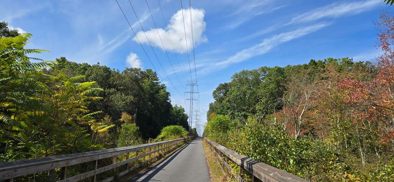
Imagine one path crossing much of a state. The Mass Central Rail Trail aims for a 104-mile route, and about 64 miles are already open for use.
Many finished sections are paved, flat, and rated easy, welcoming hikers, cyclists, skaters, wheelchair users, stroller pushers, skiers, and horseback riders. Other stretches use crushed stone or hard-packed dirt.
Twenty-seven communities are linked along the way, from Northampton toward Boston, which means the fall scenery never repeats itself. Forests, fields, and wetlands take turns painting the corridor crimson, orange, and gold.
The Norwottuck Branch handles the western end and crosses the Connecticut River on a spectacular trestle.
The Weston Branch covers Weston and Wayland, while the Wachusett Greenways Section runs from Sterling to Barre through wetlands and oak-pine forest.
Around Ware, rocky cliffs rise beside the path and the Ware River rolls alongside. The West Boylston to Holden stretch follows the Quinapoxet River past the remains of Springdale Mill.
Waltham offers about four miles of tree-lined corridor through a lively community, complete with historic bridges, a well-preserved station house, and murals. Parks, athletic fields, and museums sit next door.
Parking and access points are spread throughout, so short samples are easy. Links to the Bay Circuit Trail and East Coast Greenway reward anyone who wants to keep going.