
The Most Beautiful Drive In West Virginia Winds Past Waterfalls And Misty Mountain Hollers
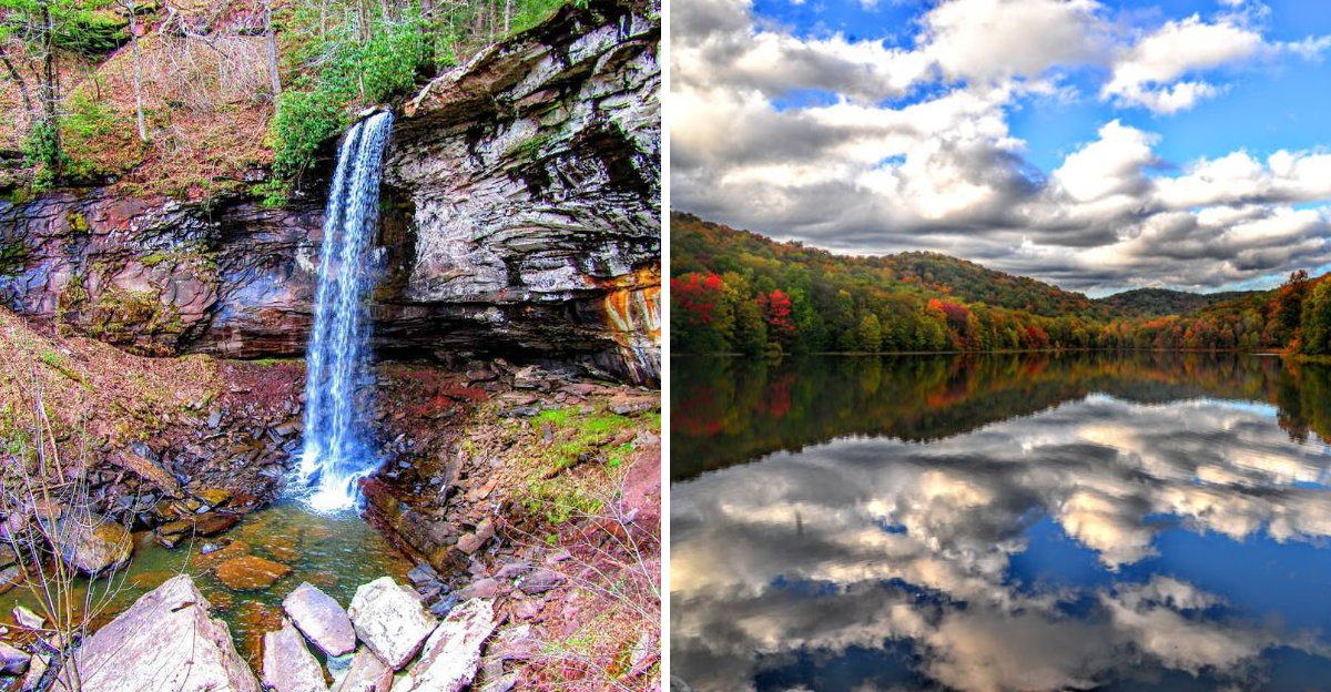
Some drives are measured in miles. This one is measured in how often you pull over.
Deep in West Virginia, the road winds through hollers, climbs above forested ridges, and passes waterfalls tucked along the way. Slow down and you’ll catch details most drivers miss.
A piece of advice? Keep the windows cracked here, even on a cool morning, so you can hear the water rushing below and breathe in that clean mountain air.
The views grow wider as the road rises, then suddenly disappear behind fog. That only makes the next overlook feel more dramatic.
You may pull over more than once just to take it all in. Few routes capture the wild mood of the state so completely.
Keep driving, because the most unforgettable stretch may be waiting just beyond the next curve.
You Can Actually Feel The Landscape Change As You Climb
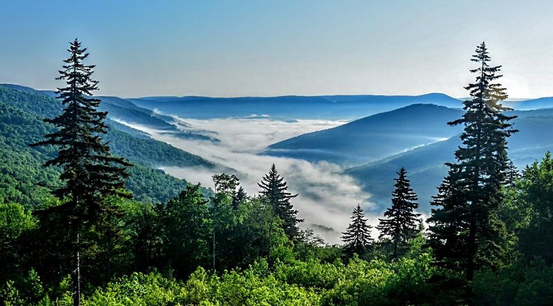
What if the best road in West Virginia was built purely so you’d have somewhere beautiful to drive? That’s exactly the case with this stretch from Richwood to U.S.
Route 219 near Marlinton, climbing from 2,325 feet to over 4,500 feet in elevation.
The route splits into two personalities. State Route 39/55 covers the first 21 miles through hardwood forests toward the Cranberry Mountain Nature Center.
Then Route 150 takes over, and the character shifts entirely.
That 22-mile parkway section took 16 years to build and finally opened in 1981, designed specifically for scenic driving rather than commuting. Commercial trucks aren’t allowed, and the 45 mph speed limit keeps things slow enough to actually take in the views.
As the elevation climbs, hardwoods give way to spruce forests, a shift dramatic enough that it feels like driving into a different climate entirely.
You Will Want To Stop For Every One Of These Waterfalls
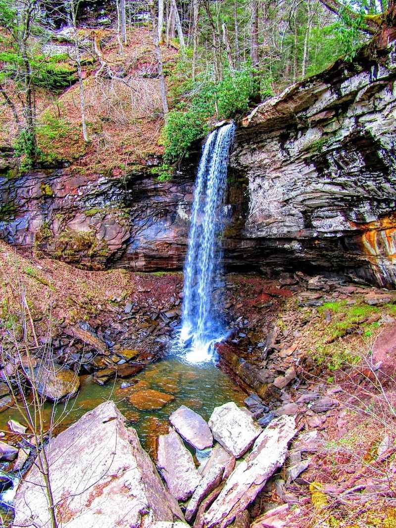
Hidden in a narrow gorge just off the highway, the Falls of Hills Creek offers one of West Virginia’s most spectacular natural shows. Three distinct waterfalls tumble through this rocky canyon, each with its own character and beauty.
The first drops 25 feet in a graceful curtain of water. The second plunges 45 feet with more power and drama.
But the grand finale steals the show with a thundering 63-foot cascade that ranks as the second-highest waterfall in the entire state.
A paved accessible path leads to the upper falls overlook, perfect for those wanting a quick glimpse. However, adventurous souls can tackle the 1.3-mile trail descending into the gorge via numerous stairs.
The unstable layering of shale and sandstone created these waterfalls over millennia, and standing at the base, feeling the mist on your face and hearing the roar echo off the rocks, you’ll understand why this spot alone is worth the drive from Ohio or anywhere else.
This Is The Moment The Drive Starts Feeling Almost Unreal
Spanning 750 acres, the Cranberry Glades Botanical Area presents one of nature’s most fascinating anomalies. This isn’t your typical Appalachian landscape; it’s a piece of Canada transplanted into the heart of West Virginia mountains.
The surrounding peaks of Black, Cranberry, and Kennison Mountains create a natural bowl that traps cool air, forming a unique boreal ecosystem. Plants and animals typically found hundreds of miles north thrive here in this remarkable microclimate.
A universally accessible half-mile boardwalk allows visitors to explore without disturbing the delicate environment. Walking across the spongy ground, you’ll spot rare flora and fauna that make botanists positively giddy.
The glades offer a living laboratory where you can witness ecological diversity that exists nowhere else in the region. It’s the kind of place that makes you appreciate how complex and wonderful nature can be, reminding visitors from places like Ohio that extraordinary ecosystems can exist just a few hours from home.
Just Wait Until You See How Far The Views Stretch
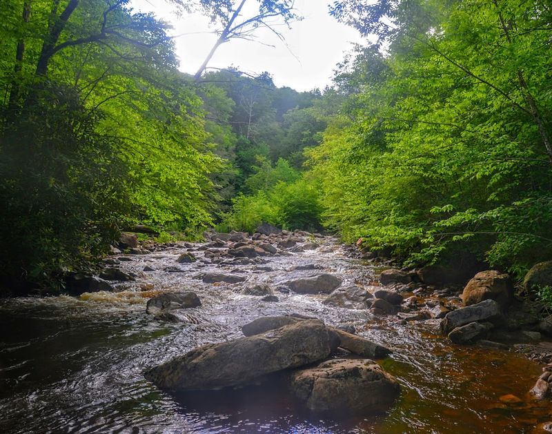
Four developed scenic overlooks punctuate the parkway section, each offering distinct panoramic views of the Allegheny Highlands. These aren’t mere pull-offs; they’re thoughtfully designed rest stops with barrier-free picnic shelters and facilities.
Williams River, Big Spruce, Little Laurel, and Red Lick overlooks each present their own perspective on the rolling mountains and deep valleys below. Big Spruce, sitting at 4,520 feet, features a 600-foot accessible boardwalk with interpretive signs detailing the area’s logging and fire history.
From these elevated perches, you can gaze across seemingly endless ridges rippling toward the horizon. The scale of the Monongahela National Forest becomes clear, a vast wilderness that could make you forget about busy cities just hours away.
I found myself lingering at each overlook, camera in hand, trying to capture vistas that somehow always looked better in person than in any photograph. These spots remind travelers from Ohio and beyond why preserving wild spaces matters.
You Could Spend Hours Choosing Which Trail To Follow
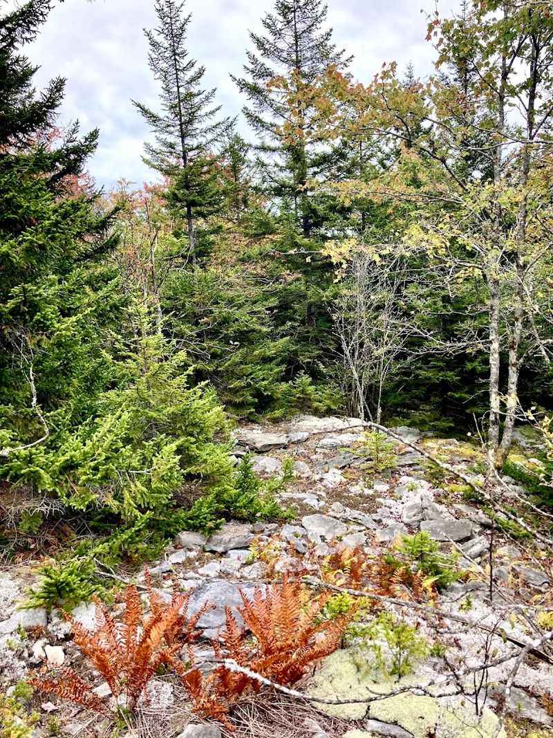
With over 150 miles of trails accessible from the highway, hikers face delightful dilemmas about which path to choose. Options range from gentle quarter-mile strolls to challenging multi-day backpacking adventures through designated wilderness areas.
The Cranberry Glades Overlook trail climbs uphill for a quarter mile, rewarding your effort with bird’s-eye views of the bogs. Honeycomb Rocks offers an accessible interpretive route through unusual geologic formations.
High Rocks Trail stretches three easy miles to striking rock outcroppings.
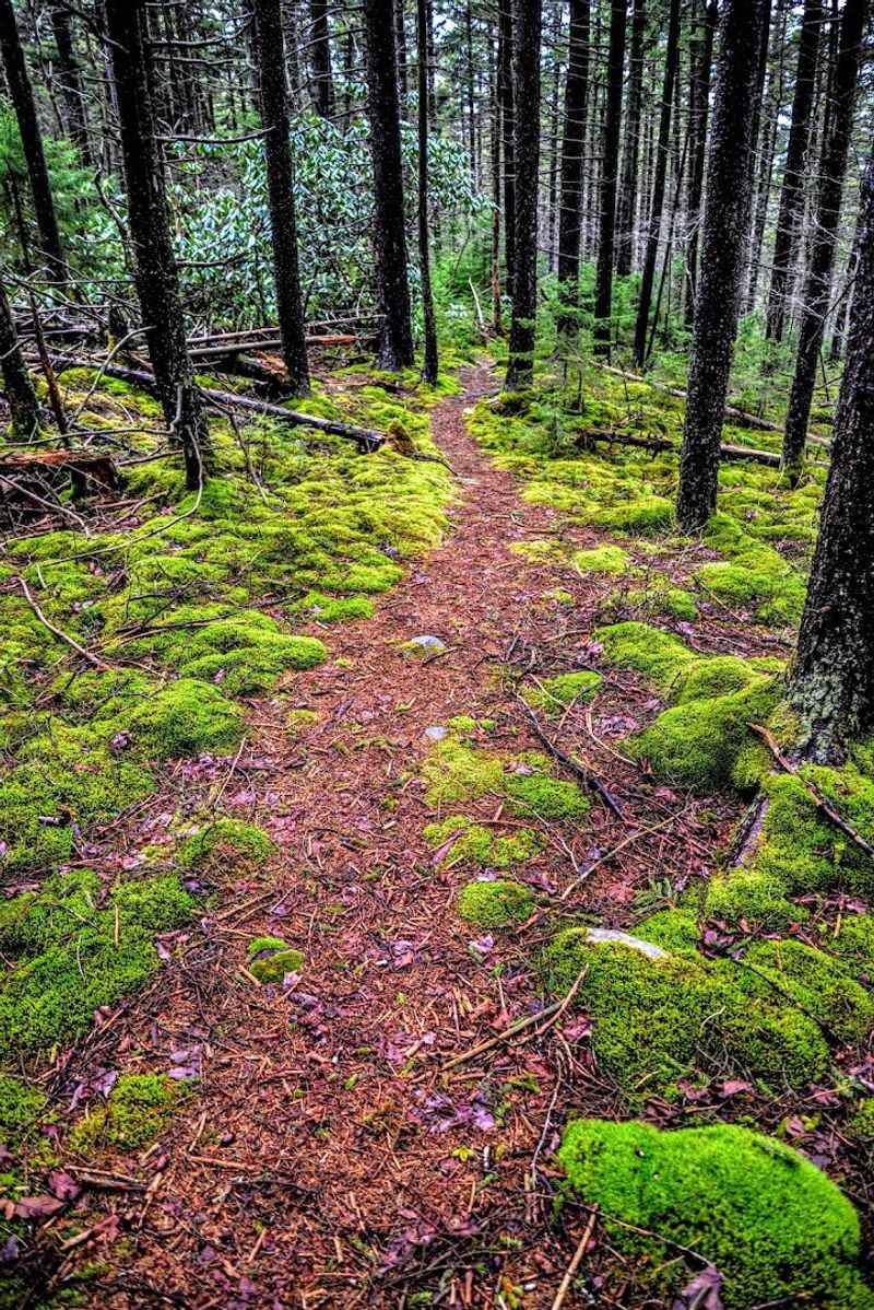
My personal favorite was the Red Spruce Knob Trail, just under a mile and a half, where titular red spruce and thick moss create an enchanted atmosphere. The Black Mountain trail follows an old railroad grade, offering glimpses into the area’s logging past.
Whether you’re a casual walker or serious backpacker, these trails provide intimate encounters with Appalachian wilderness. Just remember bug spray when exploring warmer months, because nature thrives abundantly here in ways that Ohio flatlands rarely match.
The River Makes You Want To Slow Down And Stay Awhile
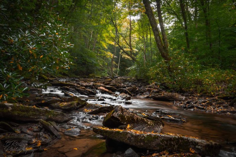
The Williams River, crossed by the highway, offers some of the finest trout fishing in the region. Anglers from across the state and beyond cast their lines into these pristine mountain waters, frequently stocked with various game fish species.
There’s something deeply meditative about standing in a clear mountain stream, the gentle current tugging at your waders while you work your line. The river’s consistent flow and cool temperatures create ideal conditions for trout, making it a favorite destination for both novice and experienced fishermen.
Several access points along the highway make reaching prime fishing spots convenient. The surrounding forest provides shade and keeps water temperatures optimal throughout warmer months.
I’ve found that the rhythm of casting and the anticipation of a strike offers one of life’s most genuine simple pleasures. For visitors from Ohio seeking that perfect fishing getaway, the Williams River delivers an experience that combines technical challenge with stunning natural beauty in equal measure.
The Road Keeps Tempting You Far Beyond The Pavement
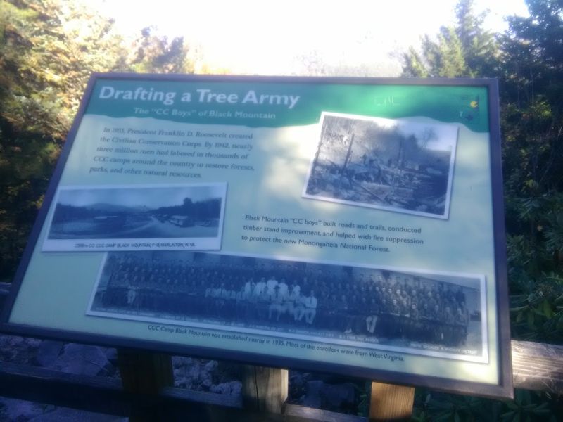
The highway serves as a gateway to broader experiences within the Monongahela National Forest, established in 1920 as one of the most ecologically diverse areas in the United States. From the highway, you can easily access the Cranberry Wilderness and Tea Creek Wilderness for true backcountry experiences.
The Cranberry Mountain Nature Center provides helpful information, maps, and exhibits detailing local ecology. Regional attractions include the historic Cass Scenic Railroad, the Greenbrier River Trail, and even the birthplace of Nobel laureate Pearl S.
Buck.
Whether you’re interested in cultural heritage, outdoor recreation, or charming small town experiences in Richwood or Marlinton, the highway places you in the heart of West Virginia’s “Almost Heaven.” The forest encompasses hundreds of thousands of acres of protected wilderness, offering solitude and raw nature for those willing to venture beyond the pavement. For visitors from Ohio seeking authentic Appalachian experiences, this gateway opens doors to adventures that can fill days or weeks with unforgettable memories and stories worth sharing.
You Have Not Really Seen This Place Until The Stars Come Out
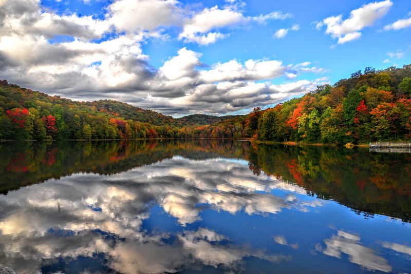
Numerous camping opportunities dot the landscape along the highway, allowing visitors to extend their stay and truly immerse themselves in the natural beauty. Summit Lake offers a tranquil campground where you can pitch your tent against the stunning forest backdrop.
Designated campgrounds like Tea Creek and Day Run provide amenities for comfortable stays, while limited primitive campsites along the Williams River appeal to those seeking more rustic experiences. The choice depends on your comfort level and desire for solitude.
What strikes me most about camping here is the profound quietude. Far removed from the constant hum of civilization, nights unfold under blankets of stars rarely visible in populated areas.
The sounds of nocturnal wildlife and rustling leaves replace traffic noise. Morning fog drifting through valleys creates ethereal scenes that make waking up before dawn worthwhile.
For families from Ohio or elsewhere looking to reconnect with nature and each other, these campgrounds offer restorative experiences that linger in memory long after tents are packed away.
Every Season Gives You A Completely Different Drive
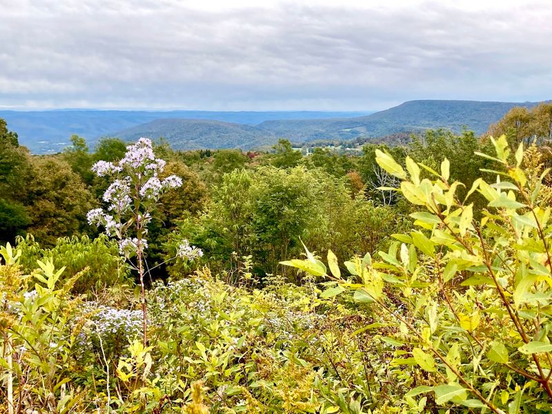
Each season offers different charms along the highway. Spring brings new life and wildflowers carpeting the forest floor.
Summer provides lush greenery and pleasant temperatures perfect for hiking and camping. Autumn transforms the landscape into riots of reds, oranges, and golds, with peak foliage typically occurring late September into early October.
However, a crucial planning tip: the Parkway section isn’t maintained for winter travel and often becomes impassable from November through April due to heavy snow. During colder months, cross-country skiing and snowshoeing become popular activities, with a small trail system and warming hut available near the US 219 intersection.
Speed limits hold at a leisurely 45 mph on the parkway, encouraging travelers to take their time and absorb the views. I always recommend packing maps, checking road conditions beforehand, and contacting the Gauley District Richwood Office at 932 Northfork Cherry Road, Richwood, WV 26261, or calling (304) 846-2695 during business hours with questions.
Visitors from Ohio and beyond find that proper preparation ensures smooth, spectacular journeys.