
This 44-Mile Mississippi Rail Trail Runs Through Six Parks And Five Small Towns
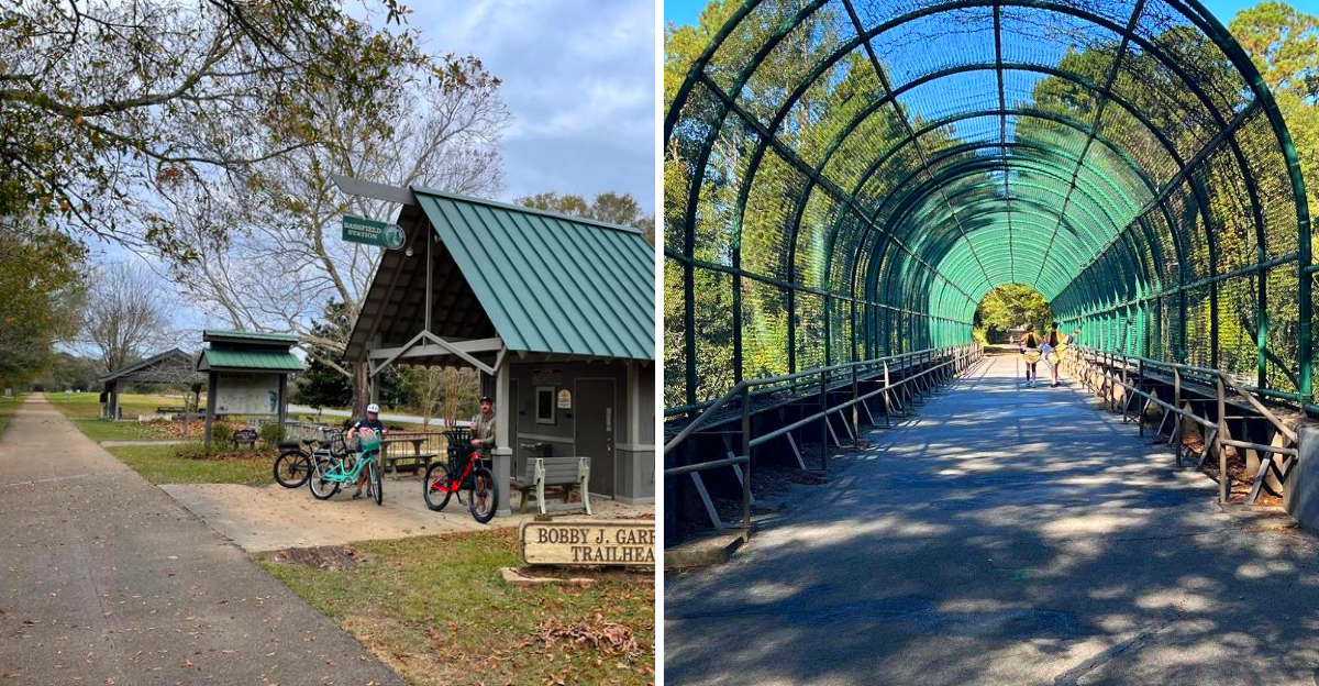
Forty-four miles is a long way to walk, bike, or ride a horse. It is also, conveniently, long enough to pass through six parks and five small towns without ever getting on a highway.
That’s the arrangement on one Mississippi rail trail, built on old railroad grade that runs flat and steady the whole way.
You can take the entire thing over a couple days or bite off a few miles at a time, ducking into a different town for lunch depending on where you started.
Pine woods give way to a Main Street, then back to trees again, then another town with a bench and somebody willing to point you toward the nearest slice of pie. Not many trails let you cover that much ground while barely breaking a sweat on the climbs.
A Railroad Reborn Under A Canopy Of Pines
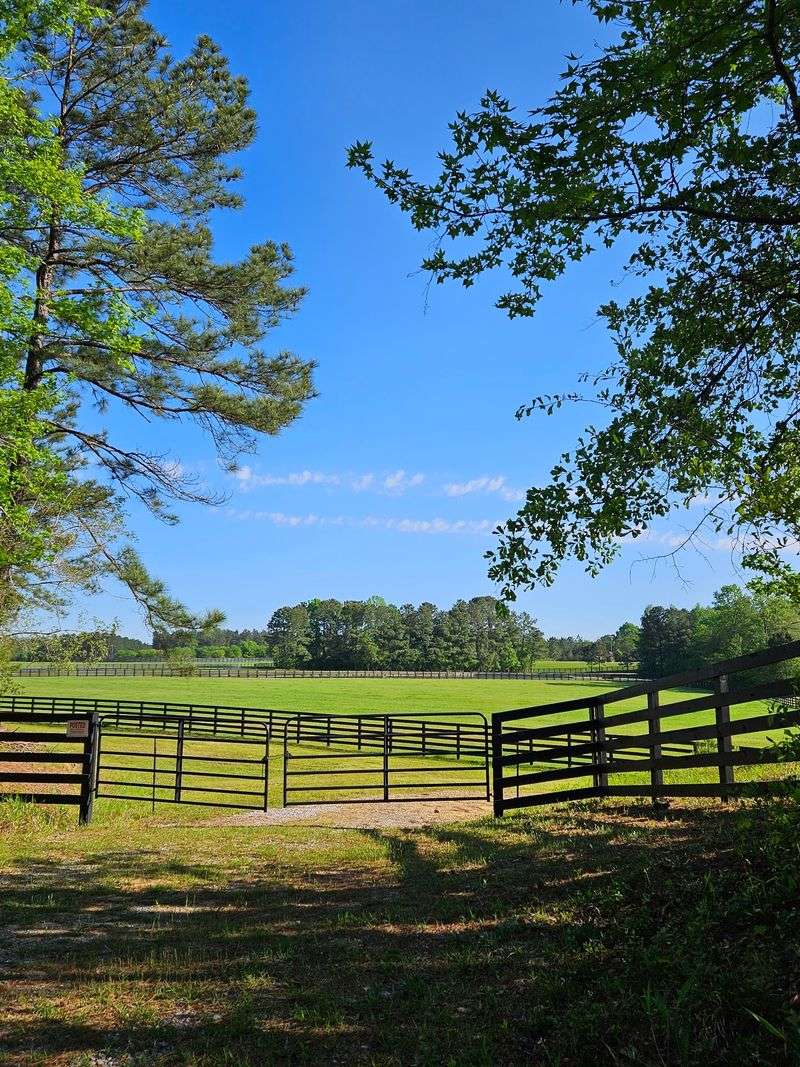
Trains once rumbled through here hauling longleaf timber toward hungry sawmills. The rails came up, the crossties went away, and a smooth ribbon of asphalt took their place in 2000.
What remains is a corridor so gently graded that beginners barely notice they are climbing. Railroads hated hills, and riders today reap the reward.
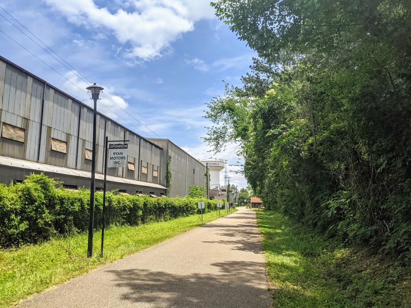
Trees crowd both shoulders for much of the route, throwing shade across the pavement even during a sticky Mississippi August. That green ceiling is the secret weapon here, and locals will tell you so within about thirty seconds of meeting you.
The corridor earned a spot in the Rail-Trail Hall of Fame and carries a National Recreation Trail designation. Those honors are not handed out casually.
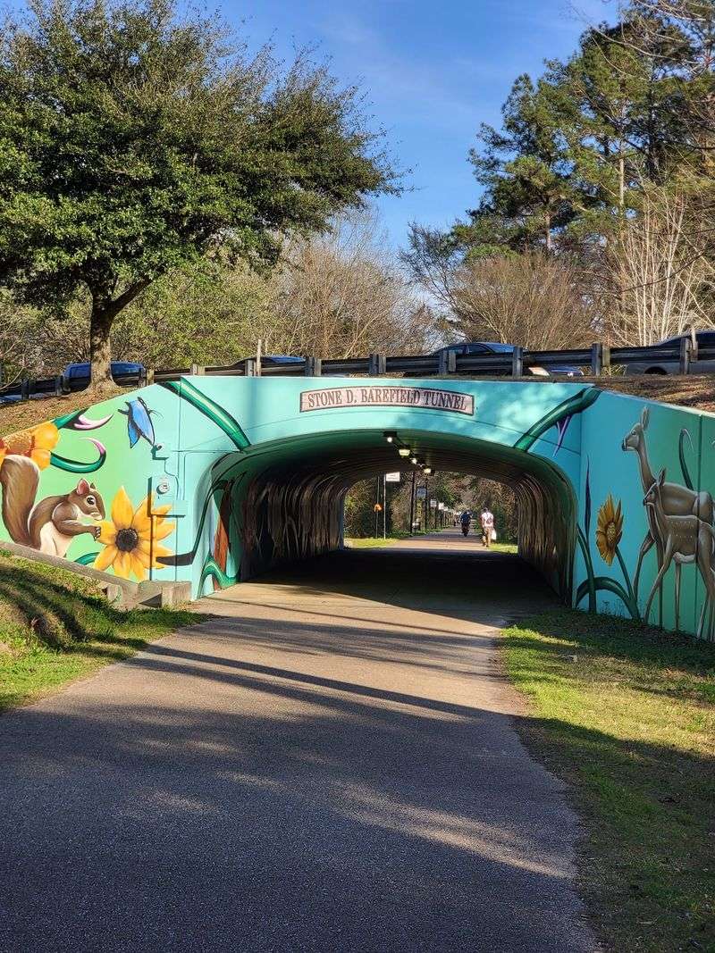
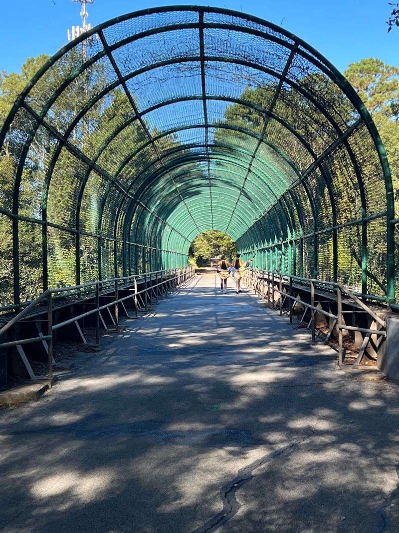
Wetlands appear, then farmland, then pine woods again. Bridges cross slow water, and a painted tunnel adds a splash of color to the ride.
Three counties share the route: Forrest, Lamar, and Jefferson Davis. You cross county lines without any fanfare, just a change in scenery and a new set of birdsong overhead.
Come once and the mileage stops feeling intimidating rather quickly.
Meet The Longleaf Trace And Its Two Front Doors
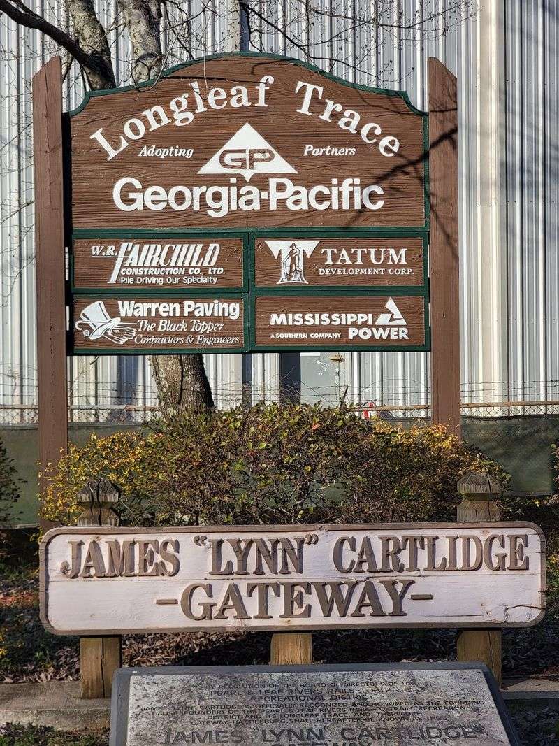
Names matter, and the Longleaf Trace wears its heritage plainly. Longleaf pines built the fortunes of this region, and the Trace follows the old Mississippi Central line that once served them.
The eastern end waits at Chain Park in Hattiesburg, where East 8th Street meets Chain Park Drive. Head west long enough and you finish at the Carolyn McRaney Gateway at 1001 Front Street in Prentiss.
Most riders, though, start at the middle gateway beside the University of Southern Mississippi campus. That hub keeps regular hours, opening at 6 in the morning and closing at 8 in the evening, seven days a week.
Bike rentals are available at the James Lynn Cartlidge Gateway, which helps if you flew in or simply did not want to wrestle a bike rack.
Parking is free at the trailheads, and the lots handle everything from sedans to campers.
Call ahead at 601-450-5247 if you want the latest on repaving work.
Dogs are welcome on a leash, which makes the whole thing feel neighborly.
Chain Park Kicks Things Off Beside The Leaf River
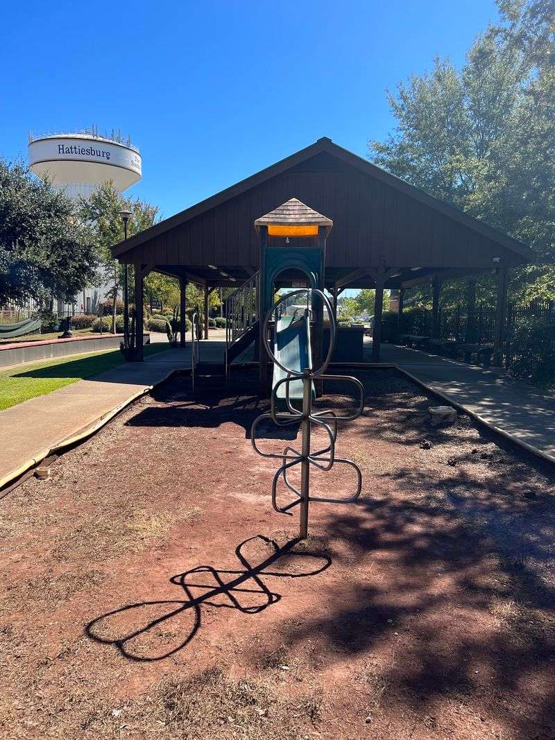
Thirty-seven acres of green space mark the eastern anchor of the whole route. Chain Park spreads along the Leaf River in Hattiesburg, and it feels more like a neighborhood backyard than a formal trailhead.
Walking paths loop through the grounds, and a playground keeps younger travelers occupied while the grownups stretch their calves.
Riverfront parks have a particular hush to them. Water moves, herons stand around looking unimpressed, and the noise of town fades faster than you expect.
Starting here means you tackle the city crossings first, then earn the quiet countryside later. Some folks prefer that order because the reward keeps building.
Bring water before you roll out. Fountains along the corridor come and go depending on maintenance, so self-sufficiency saves the day.
Picnic before or after, since the shade trees here do serious work in summer.
Families often treat this end as a short out-and-back rather than a full expedition. Two or three miles is plenty for small legs.
Mississippi river parks rarely get this much use, and the wear shows in the best way.
Kamper Park And A Zoo Detour Worth Taking
A short spur peels off the main corridor and delivers you to one of Hattiesburg’s most beloved patches of green. Kamper Park holds the Hattiesburg Zoo, along with tennis courts and playgrounds.
Not every rail trail offers a zoo as a rest stop. That alone earns the Trace some bonus points.
Families with restless kids should build this detour into the plan from the start. Riding a few miles, then meeting animals, then riding back turns a workout into an outing.
The spur is short and clearly signed, so you will not need a map app or a sense of adventure to find it.
Tennis players sometimes bike over with rackets strapped to their backs, which is a lovely bit of small-city logic.
Shade blankets much of the park, and benches sit where you want them.
Plan a longer stop than you think you need. Zoos have a way of stretching thirty minutes into two hours, and honestly, nobody complains about that outcome once the popcorn appears.
Check zoo hours separately before you go.
Denbury Beaver Pond Rewards The Patient Watcher
Around mile marker 13, the woods open into something unexpected. Denbury Beaver Pond sits there like a natural amphitheater, complete with still water and the handiwork of very industrious rodents.
Wildlife watchers slow down here on purpose. Turtles sun on logs, wading birds pick through the shallows, and dragonflies patrol the edges.
Primitive camping is permitted at this spot, which opens the door to a proper overnight adventure. Ride out in the afternoon, sleep under the pines, and finish the westward push at dawn.
Morning light on the pond is the payoff for that plan. Mist hangs low, frogs quiet down, and the trail belongs to whoever showed up early.
Pack out everything you carry in. Primitive means primitive, so plan your water and food accordingly.
The pond doubles as an ecological teaching point, showing how beavers reshape a landscape without asking permission.
Insect repellent belongs in your bag. Wetlands are generous with mosquitoes, especially at dusk.
Sit quietly for ten minutes and the pond will show you something worth the stop.
Five Small Towns, One Long Stretch Of Pavement
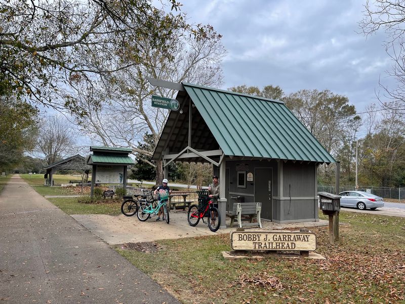
Sumrall, Bassfield, Carson, Prentiss, and Hattiesburg form the chain of communities strung along this corridor. Each one greets riders a little differently.
Sumrall shows up early enough to serve as a lunch target for Hattiesburg riders. Twenty-odd miles round trip and a meal in the middle is a solid Saturday.
Carson is smaller and quieter, the kind of place where a covered bench feels like luxury after a long stretch of farmland.
Bassfield brings you deeper into Jefferson Davis County, with rural views that stretch wide on both sides.
Prentiss caps the western end and has grown accustomed to travelers arriving on two wheels.
Local businesses have felt the difference. Restaurants and short-term rentals near the corridor benefit from the steady flow of visitors, and that economic ripple is a genuine point of pride around here.
Each town offers a park with restroom facilities, though availability can shift. Ask a local if something is closed, and you will probably get directions plus a recommendation for pie.
Small-town Mississippi hospitality travels well at bike speed.
Horses, Hikers, And The Ronnie Shows Nature Center
Hooves get their own lane out here, and that is rarer than it sounds. A 24-mile dirt equestrian trail runs parallel to the pavement between the Clyde Depot trailhead and the Carson Station trailhead.
Riders on horseback share the corridor without competing for space with cyclists. Everybody wins.
The Ronnie Shows Nature Center anchors the western edge of Hattiesburg and serves as a key access point for that equestrian route. Hikers use it too.
Softer ground suits boots better than asphalt does, so walkers looking to save their knees often choose the dirt.
Trail etiquette matters when horses are around. Slow down, speak up so the animal hears a human voice, and pass wide.
Cyclists who follow those simple rules rarely have any trouble at all.
Birdwatchers favor the nature center area for its mix of habitats. Pine woods, edge growth, and open pockets attract a solid variety.
Bring binoculars if that is your thing.
Few rail trails anywhere accommodate this many kinds of travelers at once, and the Trace pulls it off without fuss.
Lakes, State Park Camping, And Making A Weekend Of It
Forty-four miles each way adds up fast, so plenty of visitors turn the Trace into a two-day affair. Two nearby lakes make that easy.
Paul B. Johnson State Park sits roughly twenty minutes from a Trace gateway.
Longleaf pines, dogwoods, and oaks surround Geiger Lake, and camping is available along with a range of outdoor activities.
Lake Jeff Davis covers 100 acres in Jefferson Davis County and offers campsites just minutes from the Prentiss end. Finishing your westward push and pitching a tent beside water is a fine way to close a day.
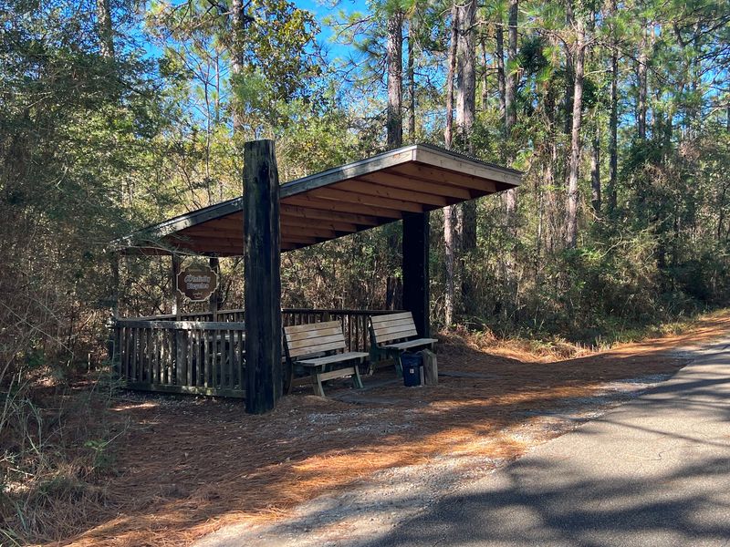
Covered rest areas, restrooms, and three small shelters appear along the corridor, so shelter from a sudden shower is usually within reach.
Spring and fall bring the friendliest temperatures. Summer works too if you start at dawn and lean on that famous shade.
Carry more water than seems reasonable. Amenities can vary, and hydration is not the place to gamble.
Two days, two lakes, five towns, and one very old railroad grade. That is a weekend worth the drive.