
10 Peaceful Tennessee Nature Walks That Give You Big Beauty Without A Hard Hike
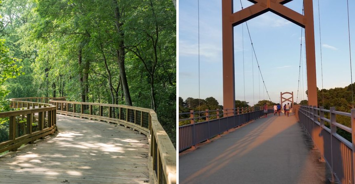
Not every outdoor adventure needs to leave your calves begging for mercy. Sometimes a peaceful path and a great view are more than enough.
Tennessee has an impressive mix of easy walks where the scenery arrives without a punishing climb. One path may follow a quiet river while another winds beside a lake or cuts through a shady patch of woods.
A few barely feel like hikes at all, which is exactly why they are so appealing.
You can take your time here. Stop for a photo, sit near the water, watch birds, or keep walking until you feel ready to turn around.
There is no pressure to chase elevation or race toward a summit.
Tennessee rewards a slower pace beautifully. When you want fresh air, pretty scenery, and an outing that still leaves energy for the rest of the day, these easy walks fit the bill.
1. Couchville Lake Trail, Nashville
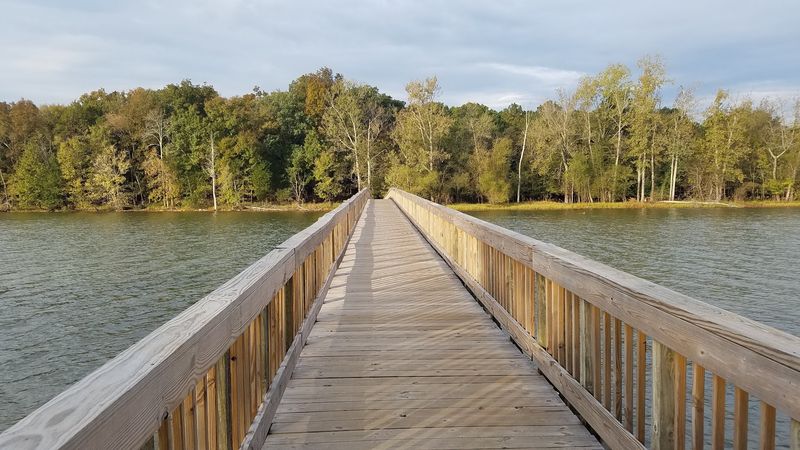
Some lakes are best admired from a canoe. Couchville Lake, sitting inside Long Hunter State Park just outside Nashville, is happy to be admired from a paved loop instead.
The circuit runs about two miles around 110 acres of quiet water. It stays flat, smooth, and mostly shaded by hardwoods, which makes it friendly for strollers and wheelchairs across most sections.
The star of the walk is a 400-foot wooden footbridge stretching across the northern end of the lake. Stop halfway across and the water goes glassy in both directions.
Tree lovers get a bonus here. The route doubles as the Couchville Lake Arboretum, the first state-certified arboretum in a Tennessee state park, established in 2008.
Forty-two labeled species line the path, including oak, hickory, cedar, and elm. Bring the kids and turn it into a low-effort scavenger hunt.
Birdwatchers do well too. Herons, egrets, ducks, and osprey are regulars, while bald eagles and sandhill cranes occasionally make surprise appearances.
Deer and wild turkeys move through the woods nearby. Frogs and turtles gather around the sinkholes and small ponds edging the trail.
Spring brings dogwoods and redbuds in bloom. Autumn flips the whole lakeside forest into warm color.
Benches and overlooks appear often enough that resting never feels like a detour. Come early, walk slowly, and let the lake do the talking.
2. Burchfiel Grove And Arboretum, Sevierville
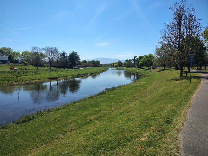
Downtown greenways rarely come with a mountain backdrop. This one does, and it barely asks you to break stride.
Following the banks of the West Fork of the Little Pigeon River in Sevierville, the paved path runs about 2.22 miles. The surface stays even, so jogging, strolling, and dog walking all work equally well.
More than 70 tree species are labeled along the route. It is a quiet education, delivered without a single pop quiz.
Look southward on a clear day and Mount LeConte rises above the treeline. The crest of the Great Smoky Mountains fills in the rest of the horizon.
Waterfowl gather along the river, and patient walkers usually spot something worth photographing. The moving water keeps the soundtrack pleasant even when town traffic hums nearby.
The grove belongs to Sevierville’s growing Memorial Greenway system. City parks and recreation staff maintain it, which explains the tidy edges and readable signage.
Families like it because there is no elevation to negotiate. Visitors staying in the Smokies area like it because it offers mountain scenery without a drive up a winding road.
Morning light hits the river especially well. Evening walks trade sparkle for cooler air and softer mountain outlines.
Bring a water bottle, wear whatever shoes you already own, and treat it as a warmup for the rest of Tennessee.
3. East Rim Overlook Trail, Oneida
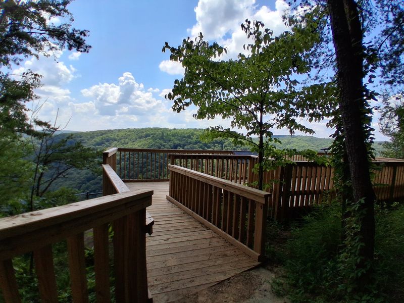
Three hundred feet of pavement. That is the entire price of admission for one of the biggest views in the Cumberland Plateau.
The East Rim Overlook sits inside Big South Fork National River and Recreation Area near Oneida. From the parking area, a short flat path delivers you straight to the railing.
What waits there is a wide gorge carved by the Big South Fork of the Cumberland River. Sandstone formations stack along the rim like natural architecture.
Because the terrain is level, kids and wheelchair users reach the vista just as easily as anyone else. Few overlooks in Tennessee make that promise.
A colorblind viewfinder is installed at the overlook. It helps colorblind visitors see fall foliage in fuller color, which is a thoughtful touch you rarely encounter on a trail.
Access comes off Highway 297, near the Bandy Creek Visitor Center. That makes it an easy stop when you are already exploring the area.
Want a little more walking? An out-and-back option stretches just over two miles, with the forest thinning gradually as you approach the drop-off.
Sunrise and late afternoon both work well for photos. Mist settling into the gorge after rain is worth setting an alarm for.
Pack a snack, claim a spot along the rim, and stay longer than you planned. Nobody ever regrets that here.
4. Sugarland Valley Nature Trail Head, Gatlinburg
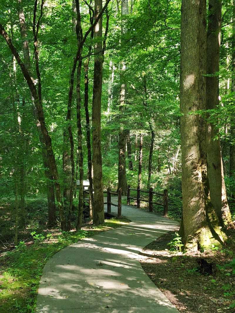
Accessible trails inside national parks are surprisingly rare. Great Smoky Mountains National Park has this one, and it sits a short distance from the Sugarlands Visitor Center near Gatlinburg.
The loop runs half a mile on smooth concrete. Elevation gain lands somewhere around 19 to 23 feet, which is roughly the height of a tall tree.
That gentle design opens the Smokies to families with toddlers, seniors, and anyone using a wheelchair or walker. Benches sit along the way for unhurried breaks.
Forest surrounds the path, tall and green and cool even in summer. The West Prong of the Little Pigeon River runs close by with a steady, calming rush.
History shows up quietly here. Remnants of 1920s homesteads, including chimneys and stone walls, stand among the trees as reminders of the families who once lived in this valley.
Water holes along the river invite wading on warm days. Anglers also come for trout, so do not be surprised by a fly rod passing you on the path.
Deer and wild turkeys wander through regularly. Wildflowers and diverse plant life fill the understory through the growing season.
Since the loop is short, it pairs nicely with a visitor center stop. Read the exhibits, then walk the trail and see the same story outdoors. Quiet, easy, and genuinely beautiful.
5. Gatlinburg Trail Trailhead, Gatlinburg
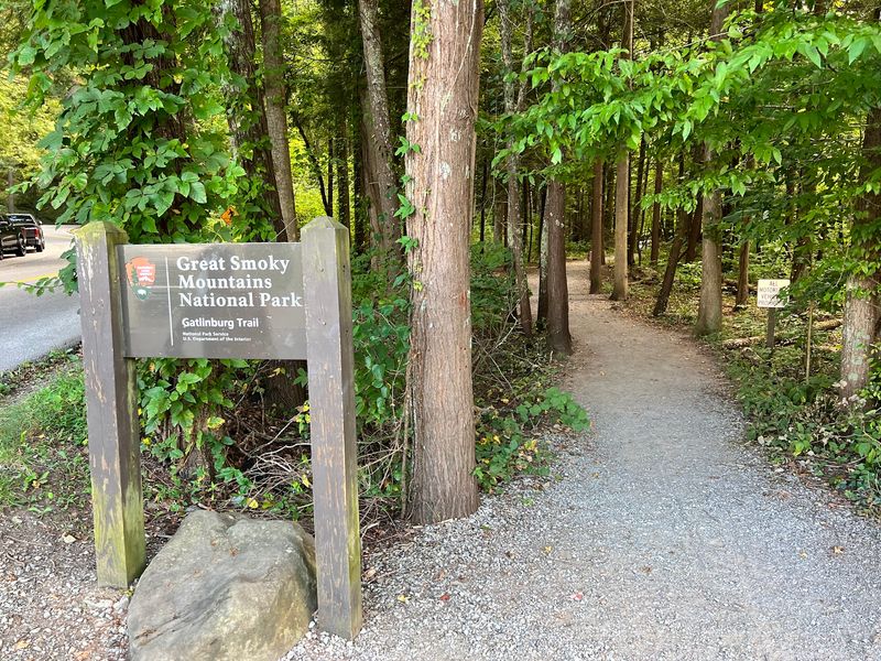
Dogs get turned away from almost every trail in Great Smoky Mountains National Park. Here, leashed pups are welcome, and so are bicycles.
Only two trails in the entire park share that privilege. The Gatlinburg Trail is one of them, which makes it a favorite for visitors traveling with a four-legged companion.
The route runs roughly 3.8 to 4 miles roundtrip, connecting the Sugarlands Visitor Center with River Road near downtown Gatlinburg. Terrain stays mostly flat, with one short climb and around 235 feet of total elevation gain.
Surfaces shift as you go, moving between pavement, concrete sidewalk, packed dirt, and gravel. The West Prong of the Little Pigeon River keeps pace alongside you.
Wading spots appear where the bank flattens out. Over 92 fish species live in these waters, so peering into the shallows is genuinely rewarding.
A long footbridge crosses the river and doubles as the best photo stop on the trail. Stone chimneys and old foundations mark where nineteenth-century Appalachian homesteads once stood.
The forest here is classic cove hardwood, with occasional burn scars from past wildfires still visible. Benches show up when your legs start voting for a rest.
Near the 1.9-mile mark, a side path leads to Cataract Falls, a 25-foot waterfall that roars after rain. Small detour, big payoff.
6. Fighting Creek Nature Trail, Gatlinburg
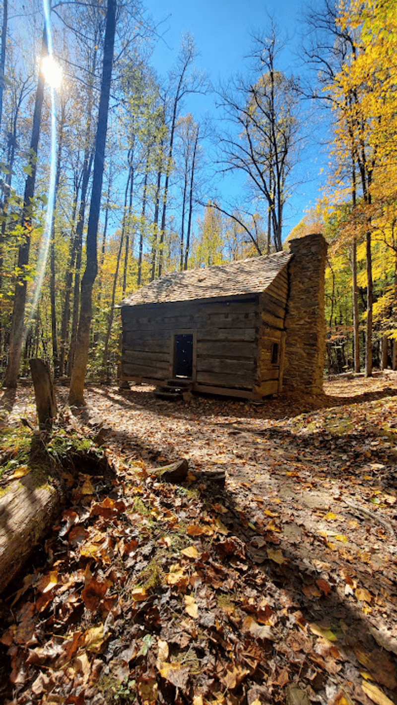
Shade, water sounds, and a log cabin from the 1850s. That is a strong lineup for a walk this short.
Starting near the Sugarlands Visitor Center outside Gatlinburg, the loop runs roughly 1.2 to 2.1 miles roundtrip depending on your route. The path is packed dirt with a few roots and rocks along the way.
Level ground keeps it manageable for nearly all ages and fitness levels. Sturdy sneakers handle it fine.
Fighting Creek, a tributary of the West Prong of the Little Pigeon River, guides most of the walk. Wooden bridges carry you back and forth over the water.
Sycamore and sassafras grow thick through the corridor, keeping the air cool on hot afternoons. Informational plaques explain Smoky Mountain history and ecology, turning the loop into a self-guided tour.
The John Ownby Cabin is the highlight for history fans. Built around 1850 to 1860, it is the last surviving structure from the Forks of the River community, and visitors can look inside at its single room and fireplace.
Black bears are active in this part of the park. Early morning and late afternoon offer the best chance of a respectful, distant sighting.
A short connector leads toward Cataract Falls, a 25-foot cascade that performs best after a good rain. Woodsy, calm, and quietly memorable.
7. Shelby Bottoms Greenway, Nashville
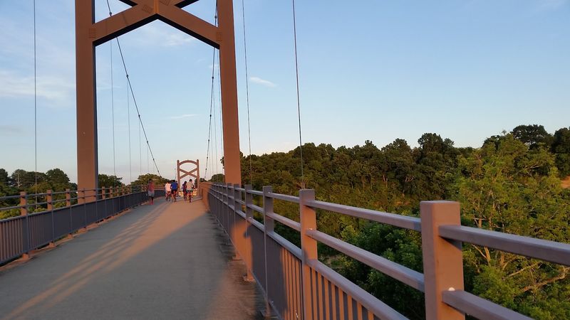
Nine hundred sixty acres of wild space sitting inside East Nashville sounds unlikely. It exists anyway, right beside Shelby Park.
Roughly three miles of Cumberland River frontage anchor the property. Bottomland hardwood forest, open fields, wetlands, and small streams fill in the rest.
More than five miles of paved, ADA-accessible trail run through it. Walkers, cyclists, runners, and skaters all share the pavement comfortably.
Another five-plus miles of primitive trail branch off for slower, quieter wandering. Those paths feel far removed from the city, which is part of the appeal.
The ground stays relatively flat and the routes meander rather than march. River overlooks and an observation platform give you places to pause and study the ecosystem.
Birders treat the area seriously. Woodcocks, towhees, and cedar waxwings turn up here, and the greenway has earned a reputation as sparrow heaven.
Deer and amphibians round out the resident cast. Mornings after rain bring out the frogs in impressive volume.
Connections extend the adventure too. The greenway links to Cornelia Fort Air Park and to a pedestrian bridge over the Cumberland River that joins the Stones River Greenway.
That means you can walk fifteen minutes or spend half a day, using the same trailhead either way. For a city known for music, Tennessee’s capital keeps a remarkably good bird chorus on standby.
8. Richland Creek Greenway, Nashville
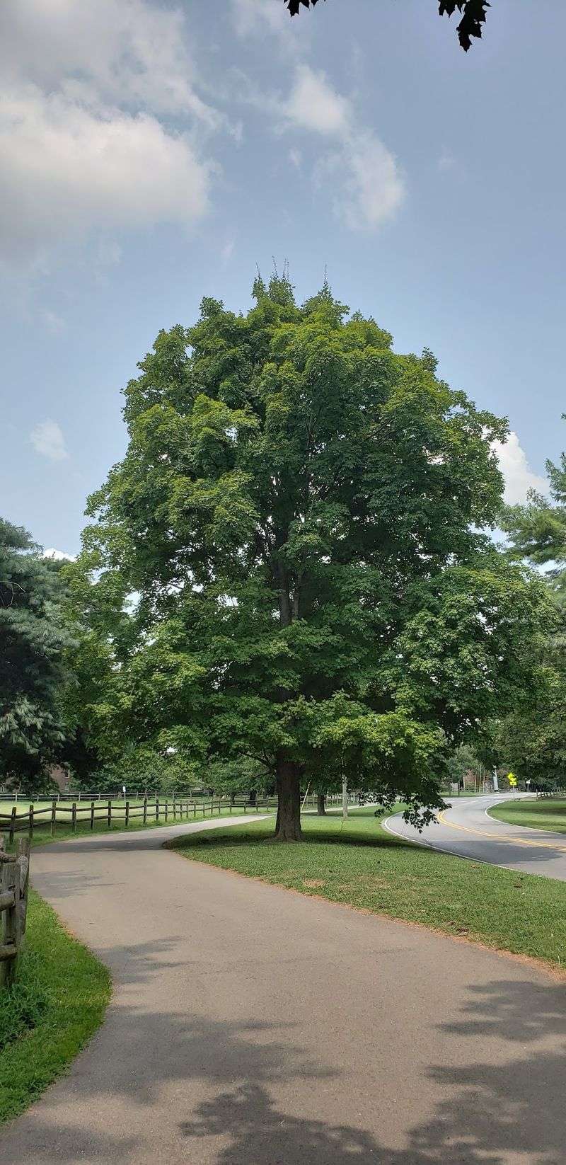
There is a bridge along this trail that regulars call Turtle Bridge. The name is not marketing. The turtles really do show up.
Set in Nashville’s Sylvan Park neighborhood, the greenway offers nearly four miles of paved path. It loops around McCabe Golf Course and crosses Richland Creek several times on attractive bridges.
The creek does most of the emotional work here. Moving water, leafy canopy, and wildflowers combine into something genuinely calming.
Blue herons patrol the shallows with the patience of professionals. Turtles stack themselves on logs whenever the sun cooperates.
Paths are wide, which matters when strollers, dogs, and cyclists all share the route. Most of the surface is flat, though a few gentle rises appear.
Neighborhood connections are a practical perk. The greenway links residential streets with shopping areas and Nashville State Community College, so it functions as both recreation and transportation.
History slips in along a spur trail. A marker there commemorates Dutchman’s Curve, site of a significant 1918 train wreck, and it is worth a respectful pause.
Because it sits inside the city, parking and access are simple. You can squeeze in a loop before dinner without any planning.
Bring binoculars if you own them. Bring bug spray in summer regardless. Easy, green, and reliably peaceful for a trail this close to traffic.
9. Tennessee Riverwalk, Chattanooga
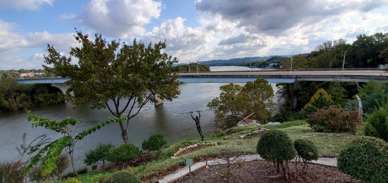
Sixteen miles of riverfront path might sound intimidating. It is not, because you can start anywhere and quit whenever you like.
Known as the Tennessee Riverpark, the route follows the southern banks of the Tennessee River through Chattanooga. Pavement, boardwalks, and bridges keep the waterfront in view nearly the whole way.
Scenery changes as you move. Quiet wetlands at Amnicola Marsh give way to city parks and cultural landmarks without much warning.
Coolidge Park brings fountains and open lawns. The Bluff View Art District adds galleries and gardens, while Ross’s Landing carries deep historical significance and now hosts festivals.
Distance tracking here is charming rather than clinical. Bronze fish mark every half mile and sculptures appear at each full mile.
Facilities are unusually good for a trail. Restrooms, water fountains, and emergency phone stations are spaced along the route, and the path is lit and patrolled.
Fishing piers and overlooks give anglers and wildlife watchers plenty of room. Bass, catfish, and panfish live in the water below.
Pets are welcome, and the flat surface suits walking, jogging, birdwatching, photography, and cycling equally well.
Paddlers use it as an access point too. The Riverwalk also connects directly to the South Chickamauga Creek Greenway for a much longer outing. Sunset over the river remains the main event.
10. S Chickamauga Creek Greenway, Chattanooga
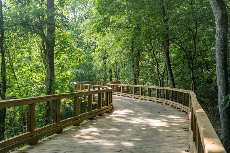
Boardwalks change everything. Lift a trail a few feet above a wetland and suddenly you are looking down into a world you would normally miss.
Running through East Chattanooga alongside wooded South Chickamauga Creek, this greenway stretches roughly 12 to 13.7 miles. Paved surface and elevated boardwalk sections carry you the whole way.
Traffic is almost entirely absent. Covered walkways guide the path beneath highways and railroad bridges, keeping the route continuous.
Landscapes shift constantly. Oak-hickory forest gives way to marsh, then rolling farmland, then quiet residential streets.
Migrating songbirds and waterfowl use the adjacent wetlands as stopover habitat. Spring and fall bring the most activity, so binoculars earn their spot in your bag.
Paddlers have options here as well. Canoe and kayak launches include Sterchi Farm Park and Camp Jordan, making it easy to trade shoes for a boat.
Interpretive signs along the newest sections explain what you are seeing. Dogs are welcome throughout.
The greenway ties the Tennessee Riverpark to Camp Jordan, a large sports complex, creating one long connected corridor across this part of Tennessee.
One planning note before you go. A 1.5-mile stretch between the Camp Jordan access point and the Brainerd Road trailhead is closed for construction until summer 2027. Plan around it, pick a trailhead, and enjoy the boardwalks.