Wisconsin’s Most Underrated Fishing Lake Has 233 Miles Of Shoreline And A World Record Musky
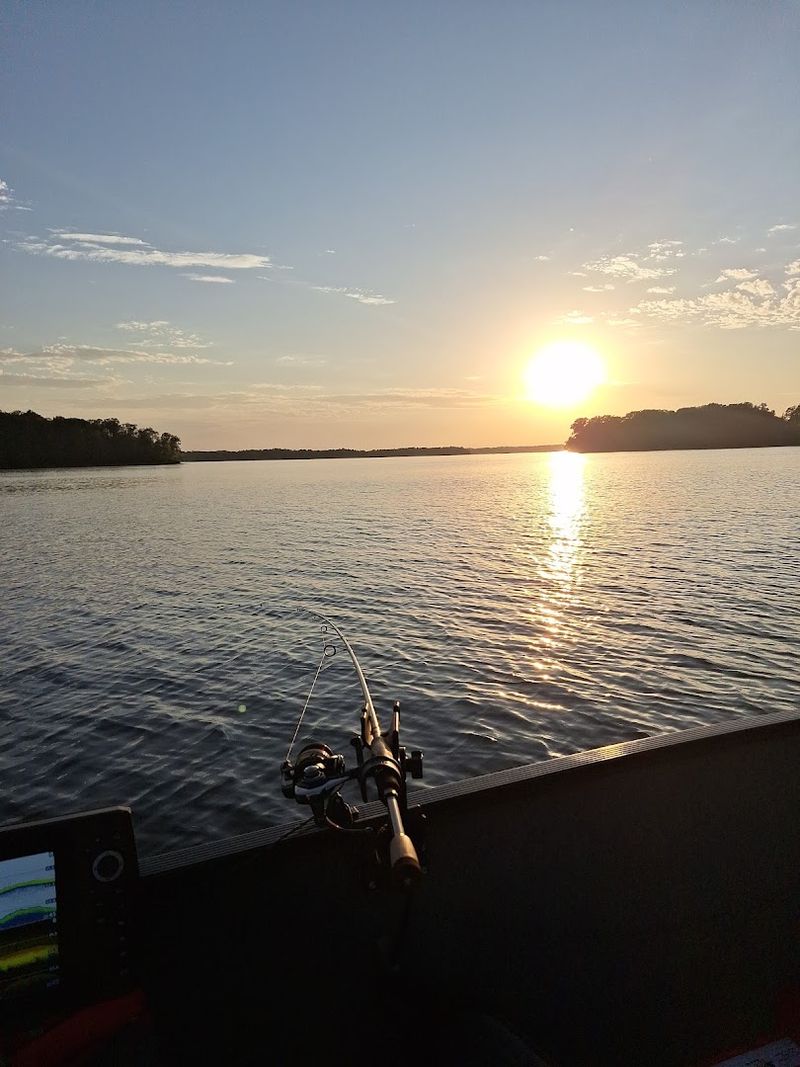
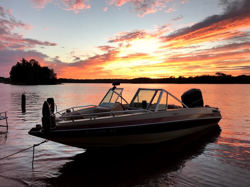
Most fishing trips do not need crowds, boat traffic, or shoulder-to-shoulder docks to feel legendary. Fifteen miles east of Hayward, a vast Wisconsin reservoir spreads into bays, channels, islands, and quiet pockets made for people who would rather hear loons than loud motors.
Anglers come for musky stories, including one record-setting fish tale that still gives the water serious bragging rights. Paddlers and cabin seekers get their own reward too, with long stretches of wild shoreline that feel surprisingly removed from the usual lakefront bustle.
Even during busy months, there is room to breathe, cast, drift, and disappear for a while. Bring patience, a good map, and maybe your luckiest lure.
A Massive Northwoods Flowage Spreads Across Nearly 15,000 Acres
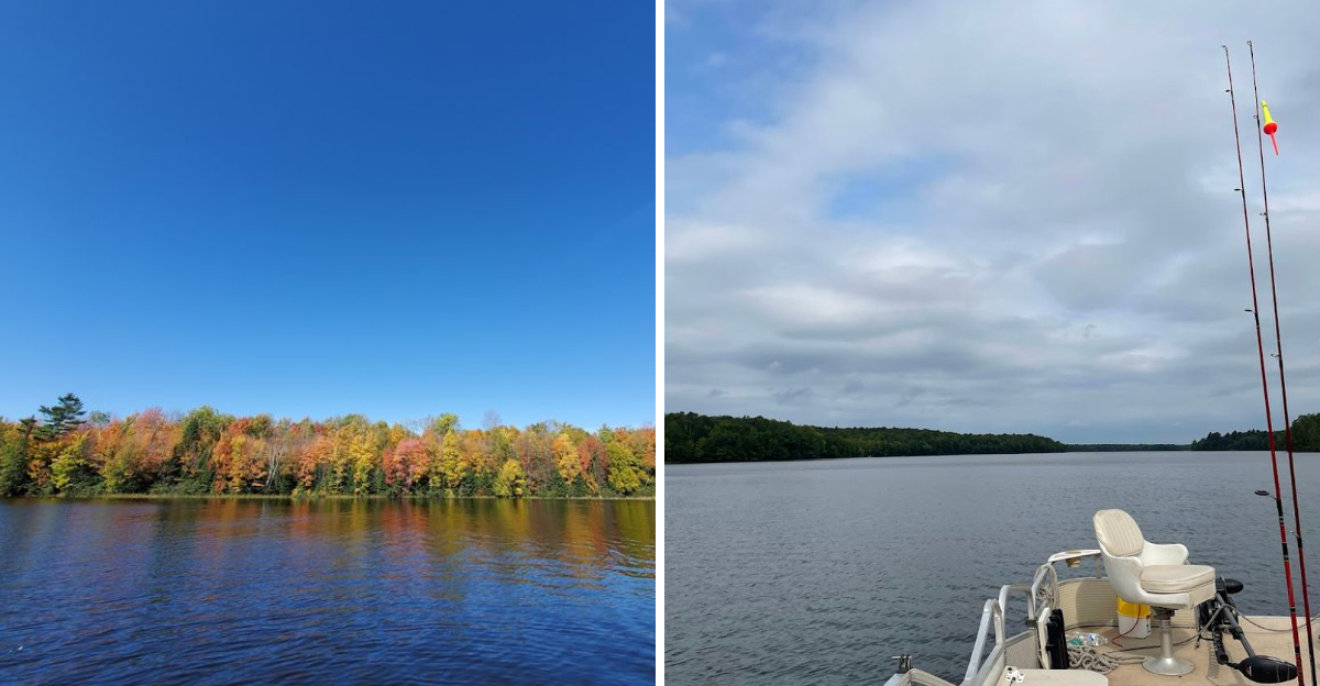
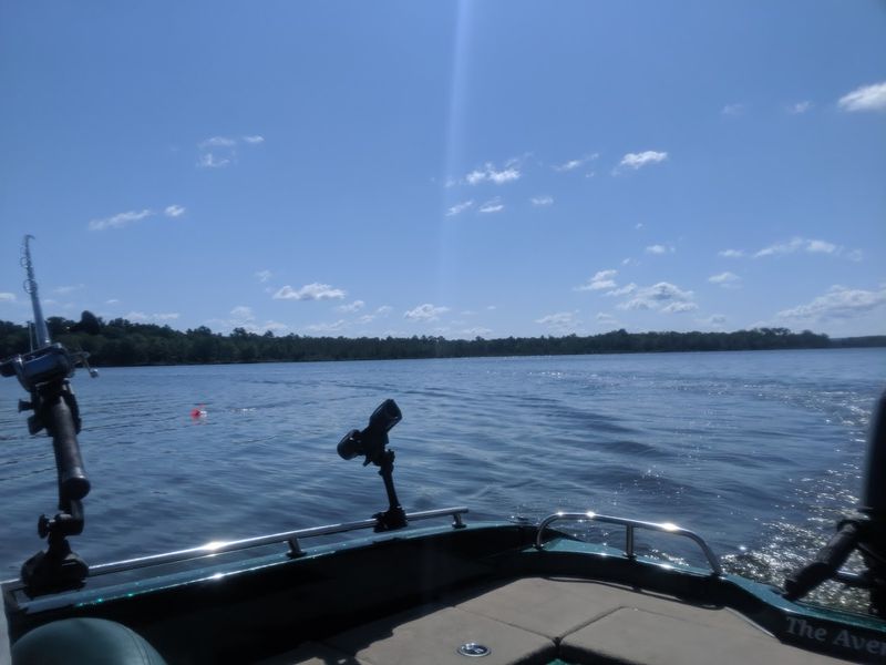
Chippewa Flowage covers 15,300 acres of water surface when measured at full pool, making it one of the largest lakes in Wisconsin by area. The sheer size creates a fishing landscape that changes character from one bay to the next.
Some sections open into broad expanses where wind can build waves, while others narrow into protected channels barely wide enough for two boats to pass.
The acreage tells only part of the story. Water depth varies from shallow weed flats to holes exceeding forty feet, and the bottom composition shifts between sand, gravel, muck, and rock depending on what the original terrain looked like before the dam went in.
Anglers spend years learning the underwater geography because no two areas fish the same way.
Finding solitude on this much water rarely presents a problem even on summer weekends. The lake absorbs pressure better than smaller bodies of water, and most visitors stick to familiar areas near the main boat landings.
A Winding Shoreline Makes The Lake Feel Bigger Than The Map Suggests
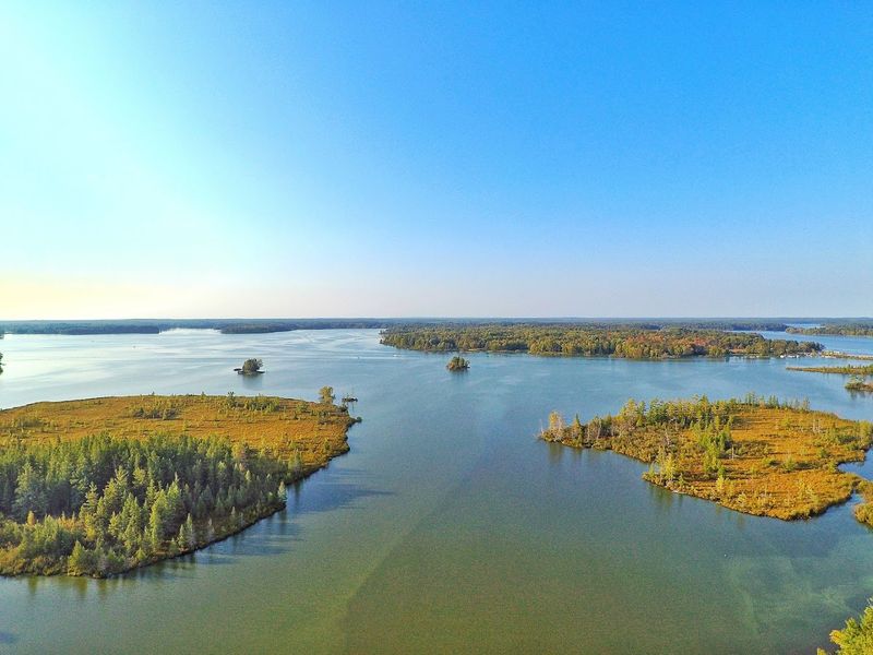
The 233 miles of shoreline at Chippewa Flowage create a labyrinth that can confuse even experienced boaters on their first visit. Bays fold into smaller bays, points jut out at odd angles, and the shoreline doubles back on itself in ways that make navigation challenging without a good map or GPS.
This irregular boundary formed when the dam flooded a network of natural lakes, rivers, and low-lying wetlands.
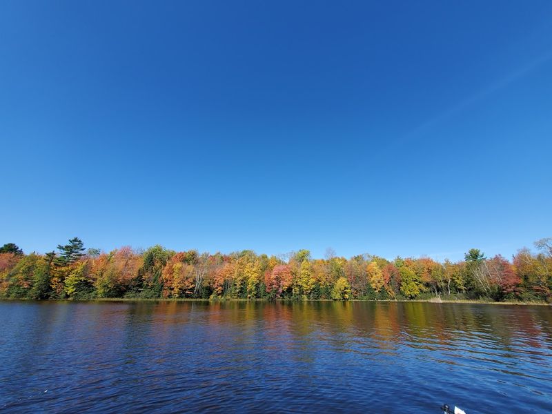
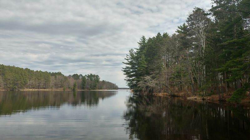
Shoreline development remains minimal by design. State and county ownership protects most of the perimeter from private docks and cleared lots, which means the view from the water looks much as it did decades ago.
Tall pines and mixed hardwoods grow right to the edge in most places, and the lack of development preserves the wild character that serious anglers appreciate.
Exploring the entire shoreline would take days of steady cruising. Each bay holds different structure, and understanding how fish use these areas throughout the season becomes a lifelong study for regulars.
The World Record Musky Still Defines Its Fishing Legacy
Louis Spray caught a 69-pound, 11-ounce musky from Chippewa Flowage on October 20, 1949, and that fish still stands as the largest muskellunge ever taken on rod and reel. The International Game Fish Association recognizes it as the all-tackle world record, a distinction that has held for more than seven decades.
No other musky fishery carries quite the same mystique, and serious trophy hunters still make pilgrimages to these waters hoping to connect with a fish of similar proportions.
The record fish measured 63.5 inches long with a girth of 31.75 inches. Spray was using a Creek Chub Pikie Minnow when the fish struck, and the battle became the stuff of fishing legend.
Photographs of the massive musky circulated widely in outdoor magazines and cemented the flowage’s reputation.
Modern musky fishing here remains excellent even if another world record seems unlikely. The lake produces fish over fifty inches with regularity, and forty-inch fish are common enough that experienced anglers expect multiple follows per day during peak periods.
Louis Spray’s 1949 Catch Turned The Lake Into Musky History
Louis Spray worked as a dentist in Hayward and fished Chippewa Flowage regularly during the late 1940s. His October 1949 outing started like countless others, but the strike he got that day changed musky fishing forever.
The fish hit his lure in relatively shallow water near a weed bed, and the fight lasted long enough to test both his tackle and his nerves before he finally netted the massive musky.
News of the catch spread quickly through the small Northwoods community and then outward through fishing publications. Spray had the fish mounted, and it became a fixture at local establishments where anglers could see the actual size of a true giant.
The mount still exists and occasionally appears at fishing shows and museums.
Spray’s catch put Chippewa Flowage on the map for serious musky anglers. Before 1949, the lake had a local following but lacked national recognition.
The world record changed that permanently, and the flowage has been a destination fishery ever since.
Walleye Crappie Bluegill And Bass Keep Anglers Busy All Season
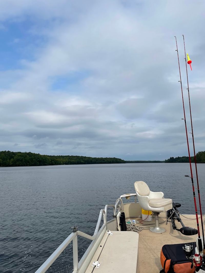
Walleye populations in Chippewa Flowage provide consistent action from ice-out through fall, with fish ranging from eater size to legitimate trophies over ten pounds. Spring finds them concentrated near spawning areas and moving shallows, while summer pushes them to deeper structure and weed edges.
Jigging and trolling both produce, and the lake’s size means anglers can usually find active fish somewhere on the system.
Crappie fishing peaks during spring when fish move into shallow bays to spawn. The flowage holds both black and white crappie, and schools can be large enough to keep anglers busy for hours once located.
Bluegills reach impressive sizes in certain areas, particularly around deeper weed beds and rock piles where they feed on aquatic insects.
Smallmouth and largemouth bass both thrive here, with smallmouth preferring rocky points and gravel bars while largemouth hold in weedy bays and around fallen timber. The diversity means anglers can target different species throughout the day depending on conditions and personal preference.
Public Boat Landings Make This Huge Lake Surprisingly Accessible
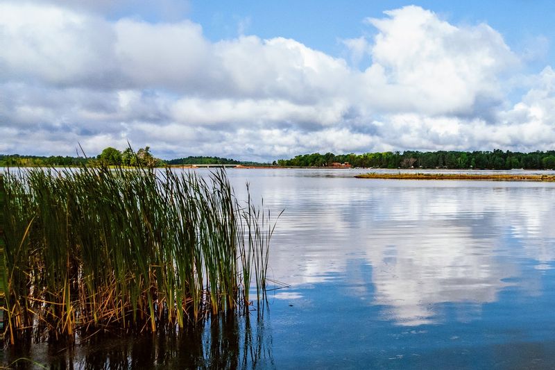
Multiple public boat landings provide access points around Chippewa Flowage, eliminating the need for private property or resort access. The main landing near Winter offers a concrete ramp with ample parking and can handle busy weekend traffic without excessive delays.
Additional landings at various points around the lake allow anglers to launch closer to their intended fishing areas and reduce running time on the water.
Most landings include basic facilities like parking areas and vault toilets, though amenities vary by location. The ramps themselves stay well-maintained by county and state authorities, and launch fees remain reasonable.
Boaters should carry a detailed map since some landings sit at the end of gravel roads that can be tricky to find on a first visit.
The distribution of access points means no single area gets overwhelmed with boat traffic. Anglers can spread out across the flowage, and those willing to run a bit farther from the main landings often find themselves fishing alone even during prime times.
The 1924 Dam Created A Lake From Natural Lakes Rivers And Streams
Construction of the Chippewa Flowage dam began in 1923 as part of a hydroelectric project, and when completed in 1924, the structure backed up water across a vast area of lowland forest, natural lakes, and river channels. The Chippewa River provided the main water source, but numerous smaller streams and several existing lakes merged into one continuous body of water.
Engineers designed the dam to generate electricity while creating flood control benefits downstream.
The flooding transformed the landscape permanently. Timber companies harvested valuable trees before the water rose, but stumps and standing dead timber remained in many areas.
Over time these rotted away or became submerged structure that fish now use as habitat. The irregular bottom created by flooding existing terrain gives the flowage its complex depth contours.
Water levels fluctuate based on dam operations and seasonal rainfall, though the flowage maintains a relatively stable pool compared to some reservoirs. The dam still generates power, and the flowage serves its original purposes while providing recreational opportunities that planners in 1924 probably never imagined.
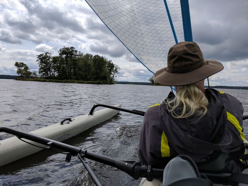
Island Camping Turns A Fishing Trip Into A Northwoods Overnight Adventure
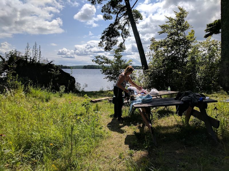
Chippewa Flowage contains over 200 islands ranging from tiny rock outcrops to substantial landmasses with mature timber. Many of these islands offer primitive camping opportunities managed by the Wisconsin DNR, allowing anglers to extend day trips into multi-day adventures.
Paddling or motoring to an island campsite and setting up for the night brings a wilderness experience rare on Wisconsin lakes.
Island camps typically include a fire ring and cleared tent pad but lack running water, electricity, or other modern conveniences. Campers must pack in all supplies and pack out all trash.
The isolation appeals to those seeking genuine solitude, and waking up on an island with nothing but water between you and the mainland provides a perspective that shoreline camping cannot match.
Reservations are required for some popular island sites during peak season, while others operate on a first-come basis. The camping adds a dimension to fishing trips that keeps people coming back, and many regulars have favorite islands they return to year after year.
Floating Bogs Give The Water One Of Its Strangest Natural Features
Floating bogs drift across portions of Chippewa Flowage like small vegetated rafts, some large enough to support shrubs and small trees. These unusual features form when peat mats break free from shoreline wetlands and float independently, driven by wind and current.
The bogs create hazards for boaters who mistake them for solid ground and also provide unique fish habitat that attracts both predators and prey species.
The vegetation on floating bogs looks deceptively stable from a distance. Grasses, sedges, and even tag alders grow on the thicker mats, but stepping onto one reveals the spongy, unstable surface beneath.
The edges often undercut below the waterline, creating shade and cover where panfish and bass hold during bright conditions.
Anglers learn to fish around the bogs carefully, casting to the edges where the mat meets open water. The constantly shifting positions mean a productive bog location one week might be empty the next after wind pushes the mat to a different part of the lake.
The Lake Still Feels Wild Because So Much Of The Shoreline Stays Forested
Shoreline development restrictions at Chippewa Flowage limit private ownership to roughly ten percent of the total perimeter, leaving the vast majority in public hands and natural condition. The Chippewa Flowage Reserve, managed by Sawyer County, protects thousands of acres of forest surrounding the water.
This preservation policy keeps the lake looking wild and maintains habitat quality for both fish and wildlife.
Boating around the flowage reveals mile after mile of unbroken forest with no visible structures, cleared lots, or manicured lawns. The natural shoreline supports healthy aquatic vegetation, provides fallen timber for fish cover, and maintains the aesthetic quality that attracts people seeking escape from developed areas.
Eagles, ospreys, and loons nest along these protected shores.
The wildness comes with tradeoffs. Conveniences like gas docks and waterfront restaurants exist only in limited locations, and cell phone service remains spotty across much of the lake.
Most visitors consider these limitations features rather than bugs, preferring the authentic Northwoods experience over modern resort amenities.