
This Easy Wisconsin Trail Ends At A Waterfall That Feels Far More Remote
A great waterfall hike should not leave your legs filing a complaint. Sometimes the best payoff comes after a short walk, a little shade, and just enough trail to make the view feel earned.
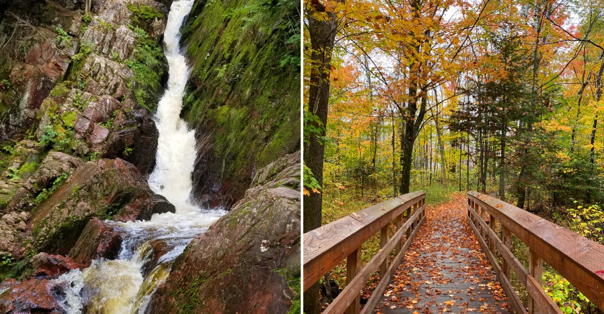
That is exactly the kind of escape waiting in northern Wisconsin. A creek drops over a broad wall of ancient rock, then disappears into a cool gorge wrapped in moss and forest.
The walk takes roughly twenty minutes. That is barely enough time to settle into the trail before the sound of rushing water starts pulling you forward. No exhausting climb. No all-day commitment. Just a quick adventure with scenery that feels much bigger than the effort required.
Bring the camera. Take your time near the falls. Listen to the water echo through the trees. This is the kind of easy outdoor detour that can completely steal the afternoon.
A Short Walk That Ends In Big Scenery
Some trails make you work for hours before they show you anything memorable, and this one flips that idea completely. The walk to the waterfall runs roughly 1.2 to 1.6 miles round trip. You can finish the whole round trip in well under an hour.
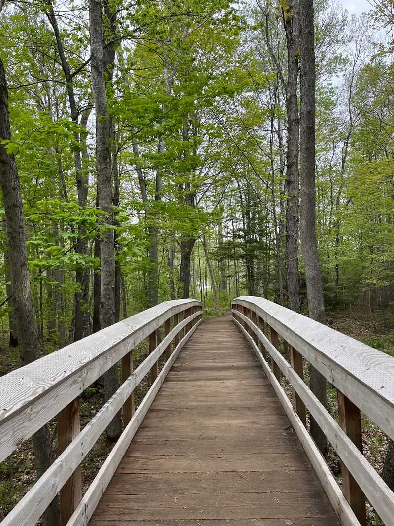
Kids handle it, grandparents handle it, and you will not need special gear or hiking experience. The path stays mostly level at first, with a gentle rise and a few rocky steps near the water. A small footbridge and creek views break up the walk and give you something to look at.
What surprises most people is the payoff. The scenery shifts from quiet northern forest to a rocky gorge in a matter of minutes. Hemlocks lean over the creek, moss covers the boulders, and the sound of falling water reaches you before you see anything.
Short does not mean boring here. Northern Wisconsin has plenty of long, demanding routes, yet this one packs the same feeling of wilderness into a stroll. You get the reward without the burn in your legs, which makes it easy to bring along people who normally skip hiking.
Finding The Trailhead Deep In The National Forest
Getting there takes a little planning, and that is part of why the falls stay so peaceful. The final stretch runs on gravel forest roads, so you should take it slow and watch for potholes.
The trailhead for Morgan Falls Trail sits in the Chequamegon-Nicolet National Forest near Marengo, reached by way of County Highway E and Forest Road 199.
Look for the Morgan Falls Trailhead along Ashland-Bayfield Road, also known as County Line Road or FR 199, before you leave home, since phone signal fades once you are in the woods. A printed map or an offline map saves you frustration.
A gravel parking area marks the start, along with a trail sign and a vault toilet. Spaces fill on summer weekends, so arriving early in the morning gives you both a spot and a quieter walk.
Mellen and Ashland are the closest towns for gas and food, and both sit within an easy drive. Once you leave the pavement, you feel how far north you are. That drive through tall timber sets the tone for everything that follows.
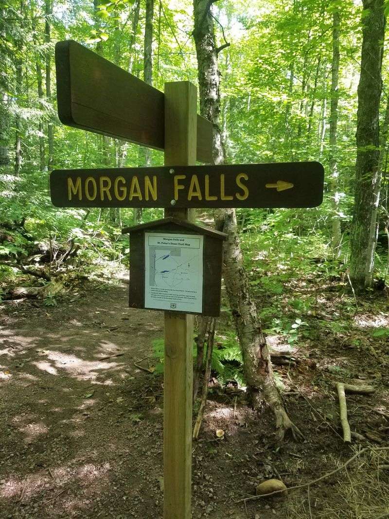
Signs at the junction point clearly toward the falls, so route finding stays simple. Take a photo of the trailhead map as a backup.
What The Path Feels Like Under Your Feet
Hiking boots help, but sneakers with decent tread do the job on most days.
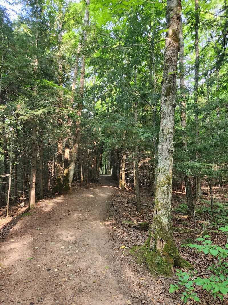
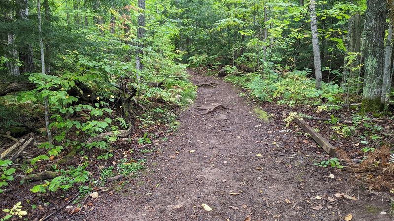
The Morgan Falls Trail follows an improved, hard-packed surface, with gravel, boardwalks, and bridges helping hikers across wetter sections. Closer to the falls, rocks around the water can become slick, especially after rain.
Wet weather changes things. Rain leaves slick spots on the rocks near the water, and spring melt can leave shallow mud along low sections. Trekking poles are not required, though they give you extra confidence on the short descent.
Shade covers nearly the whole route, which keeps the air cool even during warm Wisconsin afternoons. Ferns crowd the edges of the path in summer, and small wooden bridges carry you over trickles of water.
The improved trail makes the waterfall easier to reach than many backcountry falls, though wet conditions can still affect footing. Dogs on leash manage the terrain easily.
Plan on roughly twenty minutes of walking each way at a relaxed pace, plus however long you linger at the bottom. Most people linger longer than they expect.
That First Look At The 70-Foot Cascade
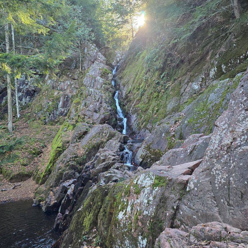
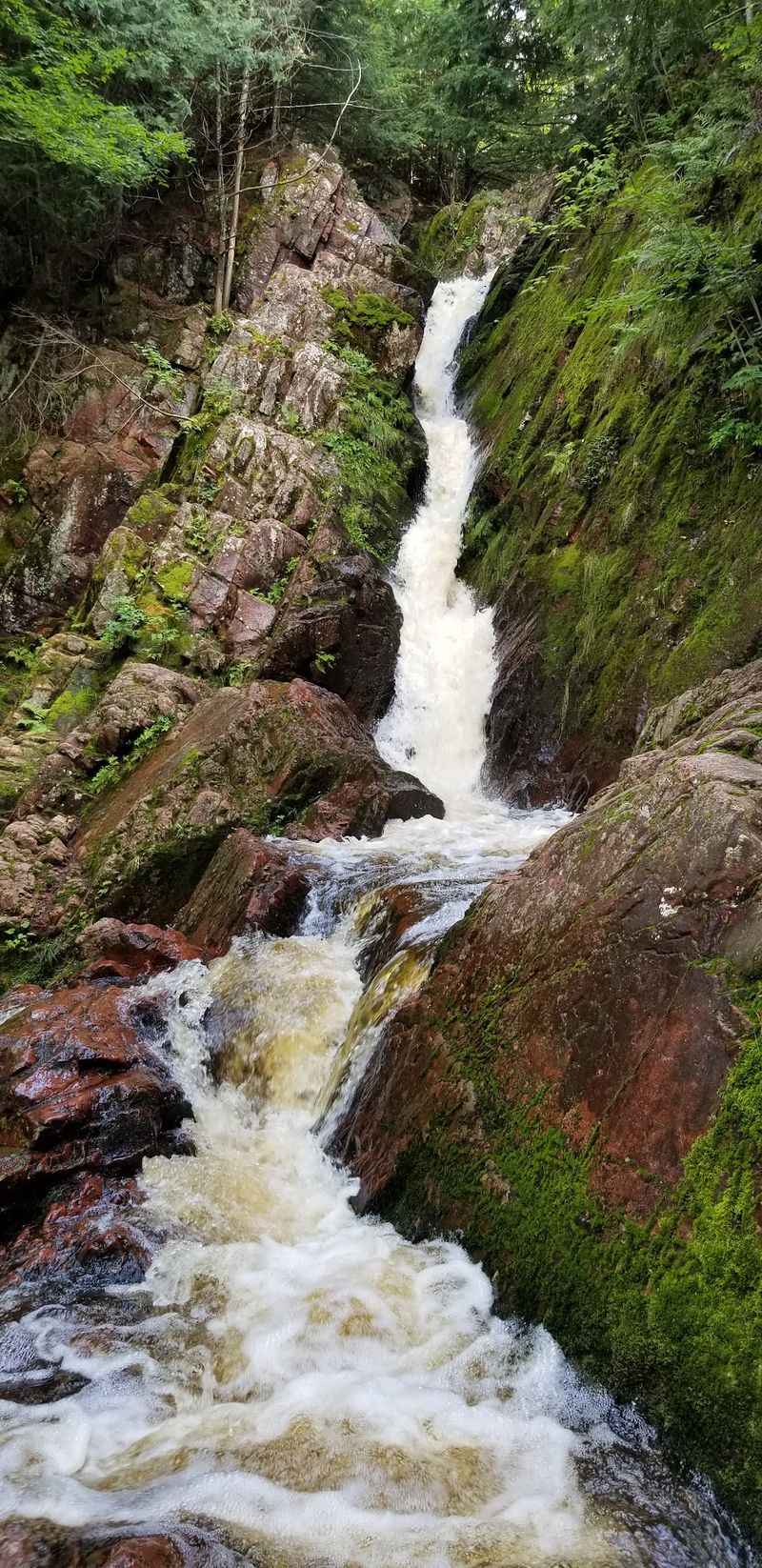
Seventy feet of water sliding down layered rock waits at the end of the walk. An unnamed tributary of Morgan Creek tumbles over a broad face of ancient stone, fanning out in ribbons rather than crashing in one heavy chute. The effect feels delicate, almost like lace across the cliff.
Spring runoff turns up the volume, while late summer thins it into strands. You can stand at the base on flat rock and look straight up. Mist drifts off the falls and cools the air nearby, which feels wonderful in July. Photographers usually set up low and wide to catch the full drop.
Climbing on the wet rock is a bad idea, and the view from the bottom of Morgan Falls Trail is the best one anyway. Give yourself time to sit. The gorge blocks out road noise completely, so all you hear is water, wind, and birds.
That quiet is why people describe the spot as feeling deep in the backcountry even though the parking lot is minutes away. Fall color frames the cliff in gold and orange, and winter ice sculpts it into pale blue columns. Each season gives you a different waterfall.
Adding The Climb To St. Peter’s Dome
Here is where you can turn a quick outing into a real hike.
From the falls, the same trail system continues about 1.8 miles to St. Peter’s Dome, a bald granite knob rising near 1,565 feet. The climb gains steady elevation and gets rocky toward the top, making it a considerably more demanding hike than the waterfall trail.
The reward is a wide open view across miles of forest, with Chequamegon Bay and Lake Superior visible on clear days. On hazy afternoons you still see ridgelines rolling toward the horizon.
Budget three to four hours for the full round trip from the Morgan Falls Trail parking area. Carry water, because there is nowhere to refill along the way. Snacks make the summit break much better.
Blueberries grow in the open rock areas in midsummer, a small bonus for anyone who times it right. Wind can be strong up there, so a light layer helps even on warm days.
You can absolutely skip the dome and just visit the waterfall. Many visitors do exactly that. Still, if your legs feel good, the combination makes for one of the finest half days of walking in northern Wisconsin.
Picking The Right Season For Your Visit
Timing shapes this trip more than most people expect. Late April through early June brings the strongest flow, when snowmelt and spring rain push extra water over the ledge. Wildflowers appear along the lower path, and bugs have not fully arrived yet.
Conditions can be muddy, so waterproof footwear pays off.
Summer offers warm air, a full green canopy, and the easiest driving on the forest roads. Mosquitoes and black flies show up in June and July, so bring repellent.
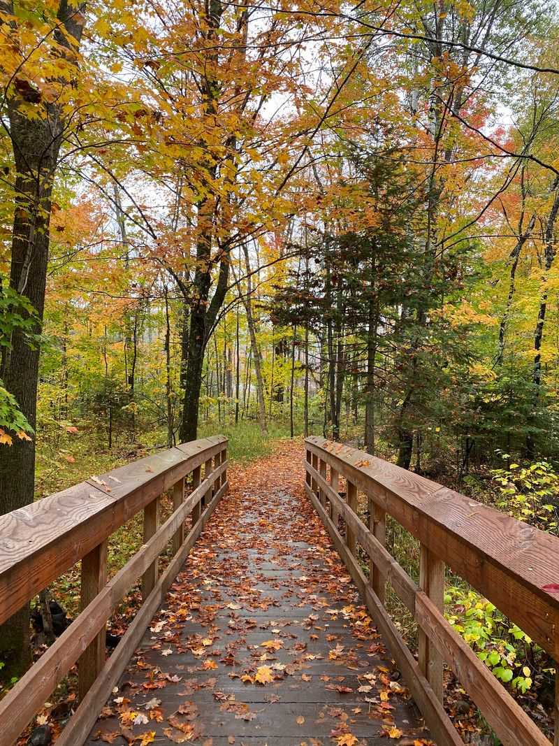
September and early October may be the sweet spot. Cool temperatures, dry footing, and maple and birch color turn the walk along Morgan Falls Trail into something worth the drive on its own. Crowds also thin out after Labor Day.
Winter can make access more difficult, so check current road conditions before heading out to see the frozen falls. That version looks incredible but takes real preparation. Weekday mornings stay quietest in any season. If you want the gorge to yourself, aim early.
Rain a day or two before your visit gives you a fuller waterfall. Check road conditions with the forest office if you are unsure.
Smart Packing For A Backcountry Style Day
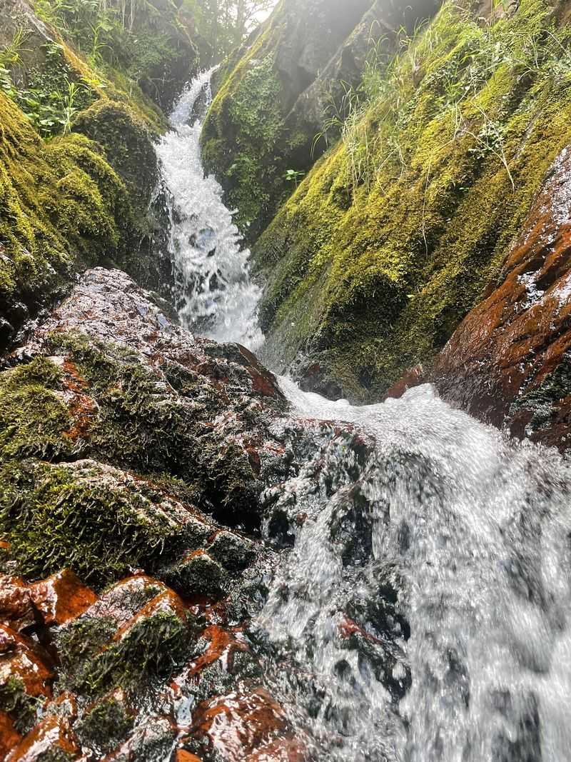
A little preparation turns a good hike into an easy one. Water tops the list, at least a liter per person, since no drinking water exists at the trailhead. Bug spray matters in early summer, and sunscreen helps on the exposed granite if you continue past the falls.
Shoes with grip beat fashion here. The rocks near the creek stay damp most of the year, and smooth soles slide. Pack out everything you carry in, including fruit peels. Morgan Falls Trail has no trash service, and the forest stays clean because visitors take responsibility.
Download your map before leaving cell coverage and tell someone your plan. A small first aid kit, a headlamp, and a light rain shell fit easily in a daypack and cover most surprises.
Services are thin out there, so fuel up and grab lunch in one of the nearby towns beforehand. A picnic at the parking area works nicely after the hike.
Leashes keep dogs safe around the drop offs. Bring a towel if your pup wades in the creek, because wet fur and car seats do not mix. Simple planning keeps the whole day relaxed.
Why The Quiet Stays With You Afterward
Few places give you this much wilderness feeling for so little effort.
The drive, the gravel road, the shaded path, and the sudden sound of water all add up to something that lingers. You walk maybe forty minutes total and come away feeling like you visited somewhere truly remote.
That contrast is the magic of Morgan Falls Trail. Big scenery sits within reach of anyone willing to make the turn off the highway. Families, solo walkers, and photographers all find something to love here.
Wisconsin holds hundreds of waterfalls, yet this one keeps drawing people back because it stays unhurried and calm. The forest around it feels older than the roads that brought you there.
You should plan a full day if you can, pairing the falls with the climb to the dome or a stop along the Lake Superior shore. Or keep it simple and let the waterfall be the whole point.
Either way, bring your camera, bring patience for the gravel, and bring someone who needs a break from screens. Places like this reward slow visits. Go once and you will start planning the next trip before you reach your car.