
Fall Colors Make This Colorado Trail A Dream For Hikers And Walkers
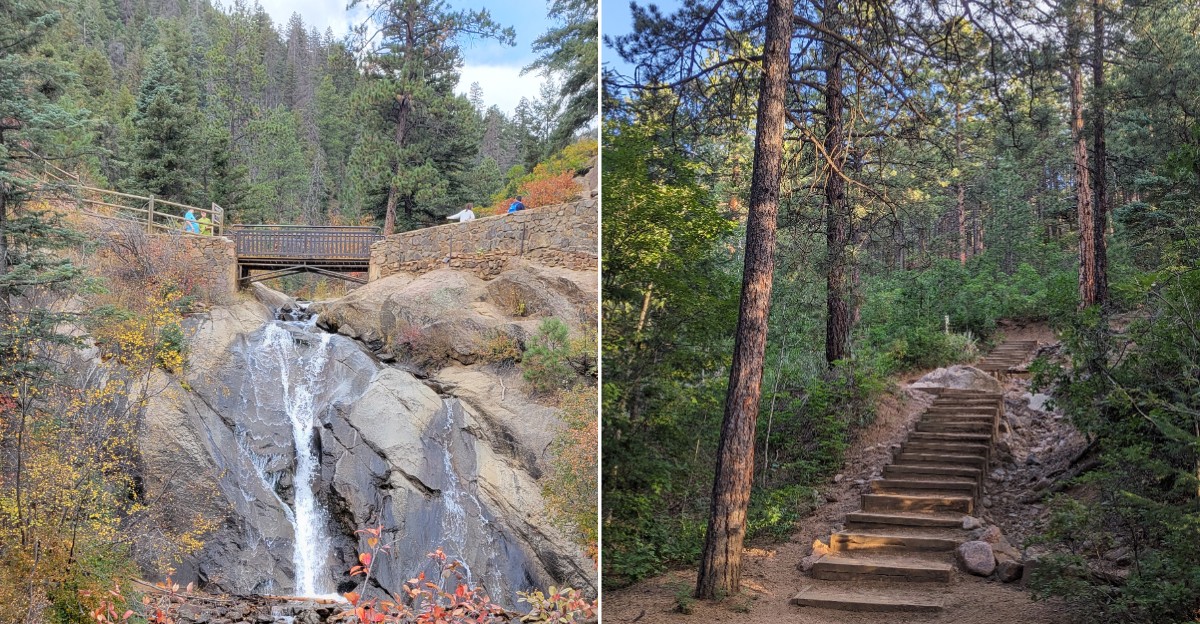
Seven wooden bridges hop back and forth over one rushing creek on a single short hike. That alone made me stop scrolling.
The path climbs through a shaded canyon packed with evergreens, granite walls, and aspen groves. In autumn, those aspens and the creekside plants turn bright yellow and orange.
I like how the water stays with you the whole way up. It works like a soundtrack you never have to switch on.
I believe that’s why this Colorado trail feels so calming, even on a moderate climb.
The route also follows an old water pipeline and part of a 1901 railroad bed. So every step mixes history, falling leaves, and splashing water.
How many bridges do you think a kid can count before asking for a snack?
Seven Crossings Turn A Simple Hike Into A Fun Little Game
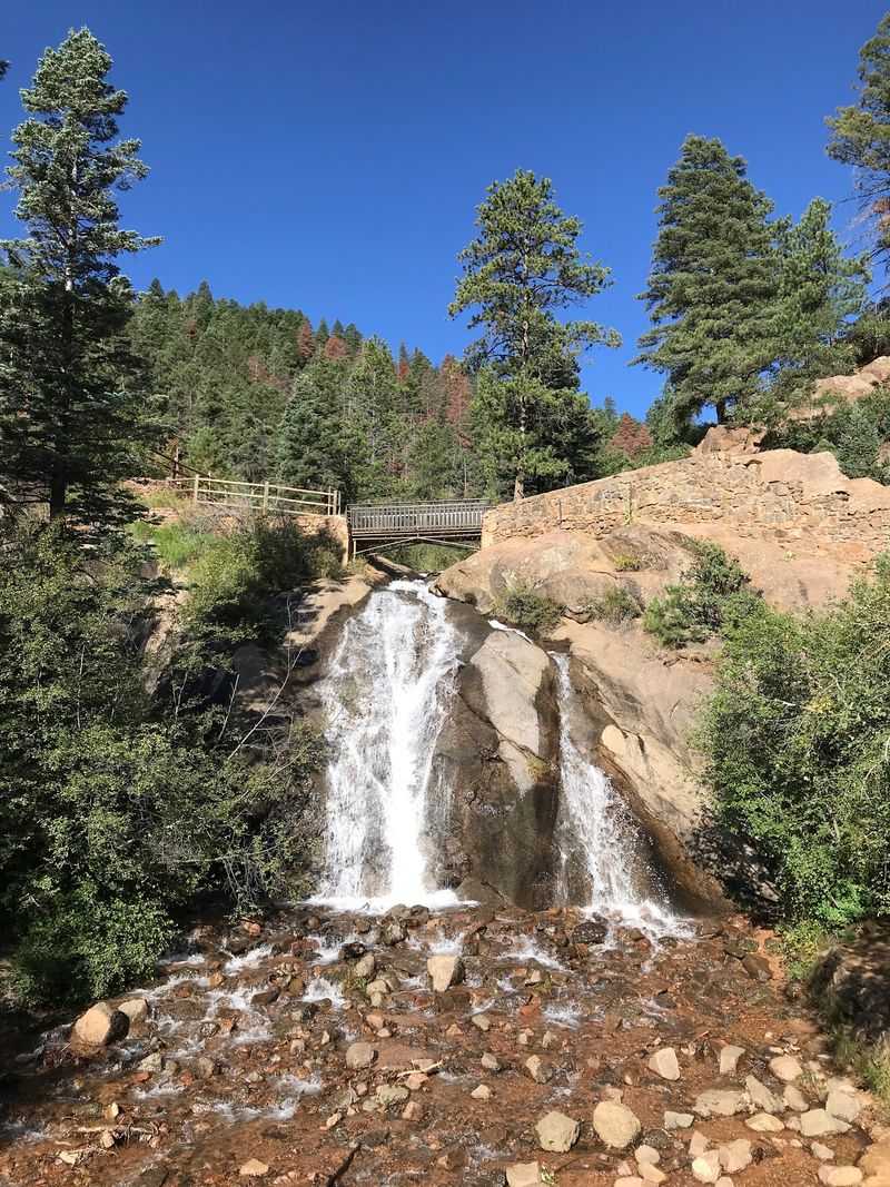
Counting to seven has never felt this scenic. The Seven Bridges Trail, also called Forest Service Trail #622, crosses North Cheyenne Creek again and again as you climb.
Each crossing is a rustic wooden bridge over clear, moving water. That gives every stretch of the hike a tiny goal to reach.
Kids especially love this setup. Hunting for the next bridge keeps little legs moving without much coaxing.
Adults get the same reward, just with fewer excited shouts. Okay, maybe not fewer.
One thing to know before you start is that Bridge #1 was removed after a washout. A detour now sends hikers from the start of Buckhorn Trail #776 straight over to Bridge #2.
So your count might begin at two this season. Call it a head start and keep going.
The bridges sit close to the creek, so you’ll hear rushing water at almost every turn. Fall adds yellow and orange leaves drifting along the banks.
Those crossings also make natural resting spots. Pause, snap a photo, and catch your breath before the next climb.
Plan your hike with the bridges as checkpoints. They help you measure progress without staring at a map.
Bring a phone or camera with a full battery. Seven bridges framed by autumn color means plenty of photo chances.
Remember that cell service can be spotty in the canyon. Download a trail map before you leave town.
Golden Aspens Steal The Show From Mid-September Onward
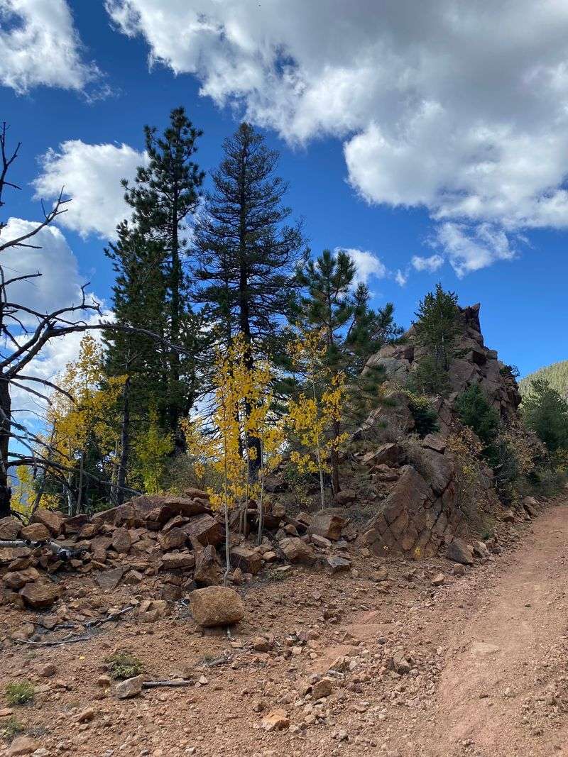
Autumn in the Pikes Peak region runs on a schedule, and it’s a colorful one. Peak fall color here usually lands between mid-September and mid-October.
Elevation shapes the timing. Higher areas often turn first, around mid to late September.
Lower spots closer to town tend to peak later. They can glow into the first couple of weeks of October.
That spread works in your favor on this Colorado trail. You can catch color low along the creek and higher up in the aspen groves.
The creekside plants on the lower sections often show yellow and orange hues early in the season. So the show can start before the big aspens fully flip.
Above the bridges, aspens mix with pines and evergreens. Gold leaves against dark green needles make a seriously striking combo.
Want the best shot at peak color? Check local fall foliage updates in September before you head out.
Weekday mornings bring soft, golden light. That’s perfect for slow walking and lots of photos.
Pack layers, since canyon mornings can feel crisp in fall. A light jacket and gloves go a long way.
Leaves on the ground can hide roots and rocks. Wear shoes with solid grip and watch your footing.
Most of all, take your time. Fall color doesn’t last forever, so soak it in while it’s here.
The Creek Plays Background Music The Whole Way Up
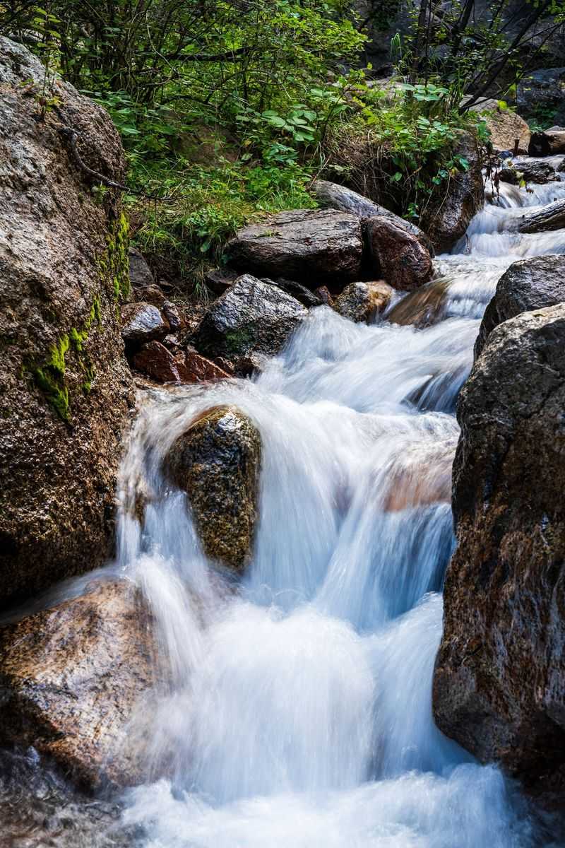
North Cheyenne Creek never takes a break. It splashes and tumbles beside you for nearly the whole hike.
The steady sound feels almost meditative. Your busy brain gets a chance to slow down.
Along the way, the water slips over rocks and forms small waterfalls. Granite walls rise around the canyon and frame the scene.
In fall, leaves gather on stones and float through the current. It looks like the creek is carrying confetti downstream.
Shade from tall evergreens keeps much of the path cool. That makes the climb more comfortable on sunny autumn afternoons.
Kids often love finding spots to watch the water. Keep a close eye on them near the banks, since rocks can be slick.
Thirsty? Skip using water straight from the stream.
Potable water isn’t readily available at the trail. Any creek water should be treated before you use it.
Bring more water than you think you’ll need. The climb gains roughly 900 to 1,000 feet, and you’ll feel it.
A small filter bottle makes a smart backup. It gives you peace of mind on longer outings past the bridges.
Find a flat rock, sit for a few minutes, and just listen. That might become your favorite part of the whole day.
Old Gold Rush Rails Hide Under Your Hiking Boots
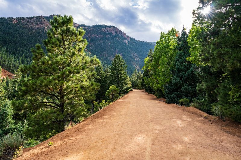
Here’s a fun fact to share at your next snack break. Part of this route follows a standard-gauge railroad bed completed in 1901.
That railroad hauled gold ores from Cripple Creek to Colorado Springs. Today you walk where heavy loads once rumbled through the mountains.
The history doesn’t stop there. The Seven Bridges Trail also traces an old pipeline route from the early 20th century.
That pipeline carried water into Colorado Springs. The wooden bridges were first built to keep access along it.
So those charming crossings started as practical work tools. Now they’re the stars of the show.
Knowing this changes how the hike feels. You’re not just chasing leaves, you’re walking through a piece of local history.
Kids might enjoy this angle too. Tell them they’re following a real gold rush path and watch their pace pick up.
The wide approach along Gold Camp Road reflects that railroad past. It’s a smooth, steady warm-up before the creekside section begins.
Take a moment to look at the canyon walls along the way. Picturing trains rolling through here makes the scenery even more impressive.
History lovers can pair this hike with a little reading beforehand. A quick look at the old Gold Camp line adds extra meaning to every step.
Moderate Miles Make It A Sweet Spot For Most Hikers
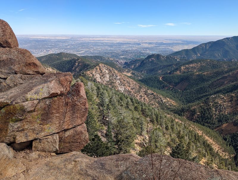
Not too easy, not too brutal. The Seven Bridges Trail lands in that friendly moderate zone many hikers love.
It’s an out-and-back route of about 3.7 miles round trip from the trailhead. Elevation gain runs roughly 900 to 1,000 feet.
Some estimates put the full outing between 3 and 6 miles. It depends on your starting point and how far you push.
The early stretch heads along Gold Camp Road past a metal gate. Look for the signposted Trail #622 to start the creekside fun.
Once you’re on the real trail, things get shady and wooded. The path winds close to the water as it climbs.
Families with older kids often handle it well. Rocky, uneven spots mean sturdy shoes matter more than fancy gear.
The final stretch near the seventh bridge gets steeper. Slow down, use your hands when needed, and enjoy the effort.
Mountain bikers are allowed on some sections. Stay alert and share the path with a friendly wave.
Leashed dogs are welcome too. Bring bags and a water bowl for your four-legged hiking buddy.
Give yourself a few relaxed hours. Rushing through fall color seems like a real waste of a beautiful day.
Keep Climbing Past Bridge Seven For Bonus Adventure
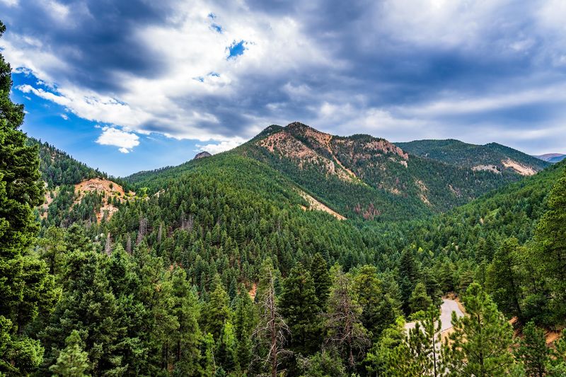
Bridge seven isn’t really the end. It’s more like a door to the higher country.
After the last crossing, the path gets steeper and keeps going. From here, hikers can connect to Jones Park, Mount Rosa, or Trail 622A.
Jones Park is the big fall prize for many explorers. Its meadow can show off aspens in autumn and wildflowers in spring.
Picturing a gold-rimmed meadow after all that climbing? That’s a strong reason to pack an extra sandwich.
These longer routes ask more of your legs. Plan your time well so you’re back before the 9:00 p.m. closing.
Bring a map, extra layers, and plenty of water. Weather in the Colorado high country can shift quickly.
Cell service is unreliable in the canyon. Tell someone your plan before you leave the trailhead.
Not ready for the full push? Simply turn around at bridge seven and enjoy the descent.
Going back down gives you a whole new view of the creek. The light changes, and the leaves seem to glow differently.
Either choice wins. Short loop or long haul, you’ll head home with color-filled memories.
Furry And Feathered Locals Share The Canyon
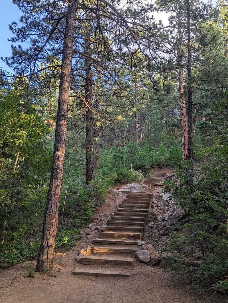
You might have company on this hike, and not just other walkers. The canyon is home to mule deer and plenty of songbirds.
Black bears occasionally roam the area too. Fall is busy season for wildlife getting ready for winter.
Keep your eyes open near the creek and forest edges. Deer can blend right into golden leaves and brown brush.
Songbirds bring their own soundtrack. Their calls mix with the rushing water for a very peaceful vibe.
Always watch animals from a respectful distance. Never feed them, even if they seem calm.
Pack out all your snacks and wrappers. Trash receptacles sit at the trailhead, so keep food sealed until then.
If you bring a dog, keep it on a leash. That rule protects your pup and the wildlife.
Small binoculars are a great addition to your daypack. They turn a distant flutter into a close-up surprise.
Morning hours can be a lovely time for spotting animals. The trail feels calmer, and the light is soft.
Campfires are not allowed here. Leave the area just as wild as you found it so everyone can enjoy it.
Getting There Early Turns A Good Day Into A Great One
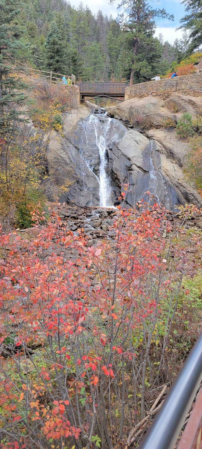
Good news for early birds. The trail opens daily at 5:00 a.m. and stays open until 9:00 p.m.
It’s a year-round spot, though fall might be its flashiest season. Early mornings bring soft light and cool canyon air.
Head up North Cheyenne Canyon Road to where it meets Gold Camp Road. Trailhead parking sits at Lot #18 off Gold Camp Road.
The main park entrance is at 2120 S. Cheyenne Canon Road.
From there, the upper parking lot is about three miles farther.
Restrooms, a scenic overlook, shaded areas, and trail signs are near the trailhead. Bring your own toilet paper just in case.
Trail conditions can change after heavy rain. Check for updates before your trip, especially in stormy weeks.
Pack water, snacks, layers, and shoes with good grip. Ice cleats help in colder months when shady spots get slick.
The Seven Bridges Trail sits in North Cheyenne Cañon Park, a fantastic escape just minutes from the city. It’s an easy pick for a spontaneous autumn outing.
Ready to count bridges and chase golden leaves? You’ll find the trail at 4415-4580 Gold Camp Rd, Colorado Springs, CO 80906.