You can start pedaling near the Statue of Liberty and keep going until you reach the Canadian border. That’s not a road trip.
It’s a connected 750-mile trail network with three major branches, including a roughly 400-mile route between Manhattan and the Canadian border.
The route forms a sideways T across New York. One arm runs north from Lower Manhattan toward Lake Champlain. The other follows an old canal from Buffalo to Albany.
I love that the trail welcomes more than bikes. People walk it, run it, and even cross-country ski it once winter shows up. Many stretches are wide, flat, and gently graded.
I’d happily take it one small town at a time. Waterfalls, old forts, and canal locks wait along the way. So how far would you go before turning around?
The Longest Multi-Use Trail In America Starts Right In Manhattan
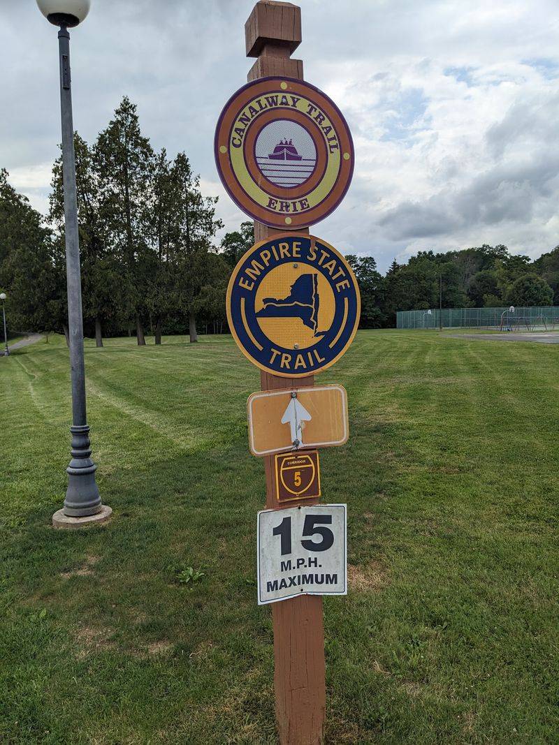
Bragging rights come built in here. The Empire State Trail is the longest multi-use trail system in the United States, covering about 750 miles.
New York officially finished it in December 2020. Governor Andrew Cuomo first announced the plan in January 2017, so the build moved surprisingly fast.
Crews didn’t start from scratch, though. They built more than 180 miles of new off-road trails and improved approximately 170 miles of on-road routes, connecting roughly 400 miles of existing trails.
That work came from somewhere between 40 and 60 separate projects. The state budget for 2017-18 set aside major funding to pull it all together.
The southern end sits in Battery Park City in Lower Manhattan. From there, the route heads north through the Hudson Valley and keeps going.
The result touches 20 counties and hundreds of communities across New York. Big cities, tiny villages, farmland, and forests all share the same path.
I appreciate that it stays open all year. Summer cyclists, fall leaf chasers, and winter skiers can all claim a turn.
Planning starts with picking a section, not the whole thing. Even a short out-and-back ride counts as a piece of something huge.
The Hudson Valley Stretch Makes Leaving The City Feel Easy
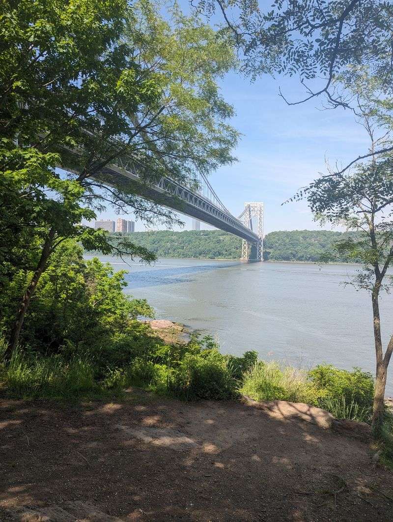
Skyscrapers give way to river cliffs faster than you’d expect. The Hudson Valley Greenway Trail runs about 200 miles from Lower Manhattan to Albany.
Much of this segment is paved and off-road. Some on-road pieces do pop up, especially between Kingston and Hudson.
The biggest showstopper is the Walkway Over the Hudson. This old railroad bridge now carries walkers and cyclists high above the river.
Good luck rushing across that one. The views up and down the Hudson practically demand a few photo stops.
Lower Manhattan offers its own starting perks. Battery Park sits near the southern end, and the Staten Island Ferry gives you views of the Statue of Liberty.
The valley also brushes up against the Catskill Park region. Hikers can link to bigger adventures, including connections toward the Appalachian Trail.
My advice? Treat this stretch like a sampler platter of New York scenery.
Ride a bit, stop in a river town, and grab lunch. The trail passes plenty of places to eat, so packing a feast isn’t required.
Experienced riders should stay alert on the road sections. Traffic shares those miles with you.
Flat Canal Miles Are Basically A Gift To Your Legs
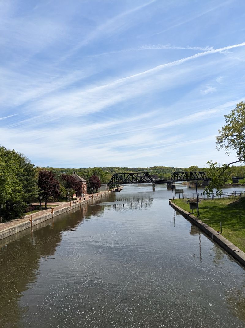
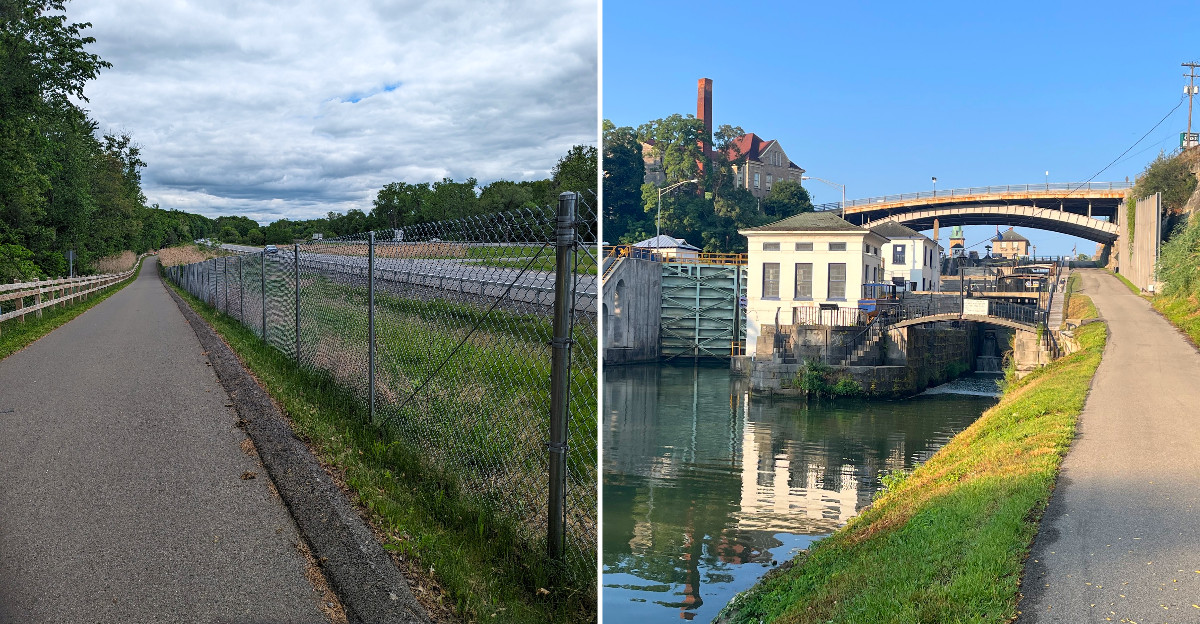
Hills are optional on the longest piece of this route. The Erie Canalway Trail runs approximately 360 miles from Buffalo to Albany.
It follows the historic Erie Canal, and canals don’t like slopes. That means the profile stays generally flat with minimal elevation changes.
About 85 percent of this segment is off-road. Surfaces switch between pavement and crushed stone dust.
Stone dust works fine for all kinds of bikes. Skinny road bike tires, though, will feel happier on the paved parts.
The canal itself keeps things interesting. Boats, locks, and towpath history show up mile after mile.
Families and newer riders should love this part. Gentle grades make longer days feel doable without turning into a leg workout from start to finish.
Plan for a few road connections too. Some short stretches join local streets, and signs help guide the way through busier towns.
Wide shoulders and bike lanes help on many of those pieces. Still, a downloaded map is a smart sidekick.
I’d call this the friendliest long ride in New York. Flat ground has a sneaky way of making 30 miles seem casual.
Canal Locks And Old Forts Turn A Ride Into A History Lesson
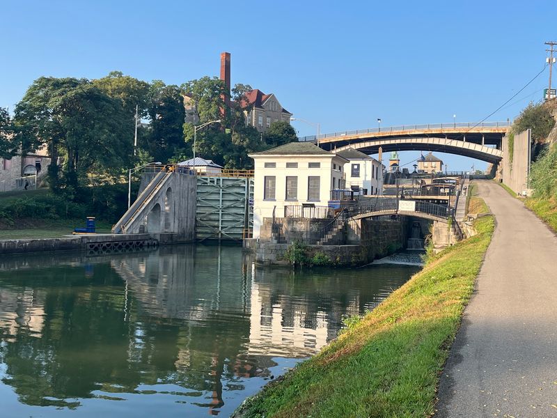
History class never had a soundtrack like rolling tires. Along the Empire State Trail, old landmarks show up right where you need a break.
Lockport is a fun one. The Lockport Locks and Erie Canal Cruises let you see how boats climb and drop along the canal.
Farther east, Fort Stanwix sits near the route in Rome. It’s a reconstructed Revolutionary-era fort that makes a great leg-stretching stop.
Up north, Fort Ticonderoga guards the Lake Champlain area. It ranks among the best-known historic sites near the trail.
Albany adds another layer, since it’s the state capital. The trail’s two main arms meet near this city, so it works well as a hub.
Peebles Island State Park sits close by too. Rivers meet there, and walking paths offer a calmer side of the region.
I like mixing a big ride with one historic stop per day. It breaks up the miles without stealing the whole afternoon.
Check museum hours before you go. Seasonal schedules can change, and nobody enjoys pedaling up to a locked gate.
Niagara Falls Waits Near The Western End
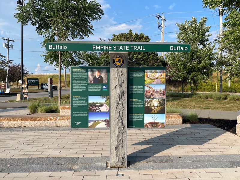
Niagara Falls makes a memorable side trip from the Empire State Trail’s western endpoint at Buffalo Harbor State Park. The western leg of the Empire State Trail starts at Buffalo Harbor State Park in Buffalo.
Niagara Falls sits nearby, making it one of the trail’s headline attractions. Few bike routes can promise a finale this loud.
Buffalo itself is a fine kickoff spot. The waterfront setting gives the canal journey a big-water opening before the path turns east.
Rochester comes next on the list of bigger stops. Genesee Valley Park sits along the route and connects with other local trails.
Those extra trails can cause a little confusion. Watch for Empire State Trail signs at junctions so you don’t wander off on a bonus loop.
Western New York also links to the Genesee Valley Greenway and the Great Lakes Seaway Trail. Ambitious explorers can stretch a trip in several directions.
Personally, I’d save the falls for the last day. Arriving tired and sweaty at that view feels like a well-earned prize.
Pack a light jacket for mist and lake breezes. Weather near the Great Lakes can change its mind quickly.
The Ride North To Canada Gets Wild And Wide Open
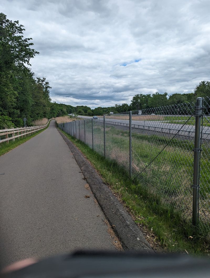
Few trails let you say you biked to another country’s doorstep. The Champlain Valley Trail runs 187 miles from Albany to Rouses Point at the Canadian border.
Rouses Point sits near the northern tip of Lake Champlain. That makes the finish line both scenic and slightly unbelievable.
Know this before you go: much of this segment is on-road. North of Whitehall, it follows State Bike Route 9 for a big chunk.
Road sections are best for experienced riders. You’ll share space with cars, so bright gear and steady confidence matter.
The payoff is serious scenery. The route edges near the Adirondack Park, with lake views and mountain backdrops.
Ausable Chasm is a standout stop along the way. Its deep rock gorge makes a dramatic break from pedaling.
Fort Ticonderoga also lands in this region. History fans can grab two big stops in one northern trip.
I’d plan shorter days here than on the canal. Road riding and rolling terrain can slow your pace.
Arriving at the border deserves a selfie. You earned it.
Bikes Get The Spotlight, But Everyone Is Invited
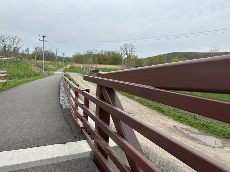
Snow doesn’t shut this trail down. Winter turns parts of the Empire State Trail into a route for cross-country skiing and snowshoeing.
Warmer months bring a bigger crowd of activities. Biking, walking, running, and hiking all fit right in.
Some sections even allow horseback riding. Check local rules first, since that permission doesn’t apply everywhere.
Informal picnicking works along the way too. A blanket, a sandwich, and a canal view make a solid lunch break.
Accessibility got real attention in the design. Many sections are ADA compliant, wide, and gently graded.
Off-road stretches usually measure 10 to 12 feet wide. That gives strollers, wheelchairs, joggers, and bikes room to share.
About 75 percent of the full trail is off-road. That’s a lot of miles without car noise.
I appreciate how a grandparent and a speedy teen can both enjoy the same path. Everyone picks their own pace.
Courtesy keeps it pleasant. Ring a bell or call out before passing, and nobody gets startled.
State Parks Along The Route Make Perfect Pit Stops
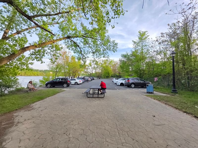
Turquoise water in central New York sounds made up. Green Lakes State Park, near the trail, proves otherwise.
It’s one of several state parks that make great side trips. Old Erie Canal State Park also lines the route with more canal-side miles.
Albany has Skyway Park, another fun stop listed along the trail. Peebles Island State Park sits nearby where rivers meet.
These parks give you shade, scenery, and a reason to slow down. Your legs will thank you.
Overnight plans are easy to build around them. Camping guides exist for the route, so tent fans can map out spots ahead of time.
Prefer a real bed? B&Bs, historic inns, and modern hotels sit near many sections of the trail.
I’d mix both if planning a long trip. Camping one night and showering in a hotel the next sounds like a winning balance.
Reserve ahead during busy summer weekends. Small towns can fill up fast, and pedaling extra miles hunting for a room isn’t fun.
Smart Planning Turns 750 Miles Into Bite-Size Adventures
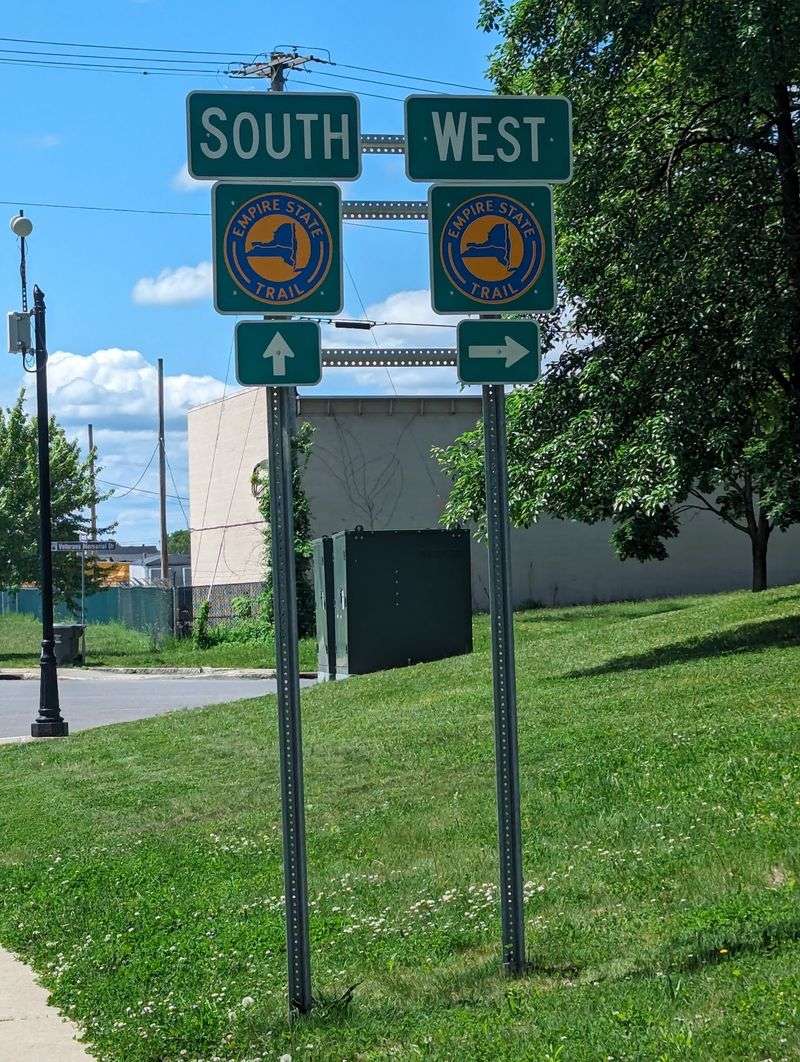
Nobody has to tackle all 750 miles at once. Most people enjoy the Empire State Trail in chunks, and that’s half the fun.
Start by picking a segment that fits your skills. Canal miles suit beginners, while the northern road sections fit seasoned riders.
Trailheads and parking areas are clearly marked. That makes day trips simple from almost anywhere in New York.
Signs are generally helpful, but busy junctions can still be tricky. Cities with lots of connecting trails deserve extra attention.
Bring a phone map as backup. Online maps and planning tools help you find lodging, campsites, and trail access.
Since there’s no single address, choose a terminus to start from. Battery Park City in Lower Manhattan, Buffalo Harbor State Park in Buffalo, or Rouses Point at the Canadian border all work.
Pack water, snacks, a repair kit, and layers. Towns along the route offer food stops, but gaps can feel long.
I’d honestly start with a weekend. Once you taste a few miles, the urge to collect more sections gets hard to ignore.