
This Idaho National Forest Has Trails So Remote You May Not See Another Hiker
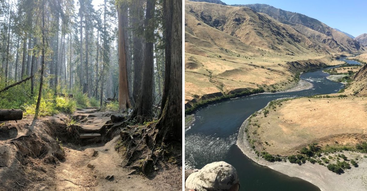
How far would you hike if you knew there was a real chance you would not see another person for hours? In Idaho, there is a forest where that kind of silence is not unusual.
The trails stretch deep into rugged country, and the farther you go, the more the outside world seems to disappear.
What makes this corner of the state so exciting is how wild it still feels. You might hear a creek long before you see it, spot fresh animal tracks in the dirt, or reach a viewpoint with nobody else around to share it.
Idaho is known for wide-open scenery, but this place feels even more remote than most. The state still holds landscapes where a full day on the trail can feel completely your own, and that sense of isolation is exactly what makes the experience so memorable.
A Forest The Size Of Small States
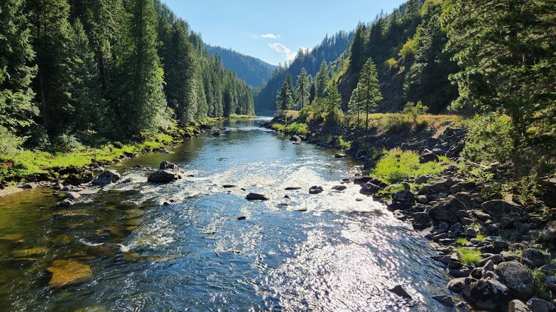
Four million acres is a number that sounds abstract until you drive it. That is roughly the footprint of Nez Perce-Clearwater National Forest, spread across north-central parts of this state.
Headquarters sit at 104 Airport Rd in Grangeville, Idaho, which is a useful starting point for maps. Rangers there can share current road and trail conditions before you commit to a long day.
Scale is exactly why solitude comes easy here. Trail miles run into the thousands, and most people cluster near a handful of famous pullouts.
Step one drainage over and the foot traffic thins to almost nothing. You can hike a full afternoon and meet only squirrels and the occasional elk track.
Elevation swings help too, from river bottoms near 1,000 feet to peaks above 9,000 feet. That range means wildflowers in one place and lingering snow in another during the same week.
Plan generously with time and fuel. Distances on paper shrink slowly on mountain roads.
Selway-Bitterroot Wilderness And Its Quiet Miles
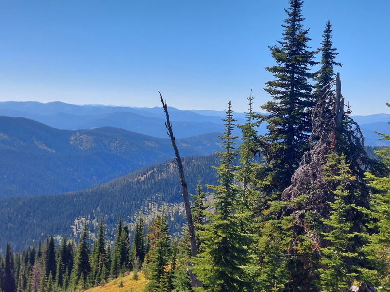
Congress protected the Selway-Bitterroot in 1964 under the original Wilderness Act. That legal shield keeps out roads, motors, and mechanized travel of every kind.
What remains is over a million acres of ridge trail, cedar bottom, and clear water. Much of it sits inside Nez Perce-Clearwater National Forest, sharing a boundary with Montana.
Foot and horse travel are the only ways in. That simple rule filters out casual traffic better than any gate ever could.
The Selway River corridor draws anglers and rafters, yet side canyons stay startlingly empty. Walk two miles up a tributary and the human world falls away completely.
Pack a paper map and compass, since phone service disappears fast. Downed trees are common in spring, so early season hikers should expect slow going.
Bring more food than you think you need. Wilderness rescue takes time when help is many ridges away.
Silence here is the whole point, and it is worth the effort.
Frank Church-River Of No Return Country
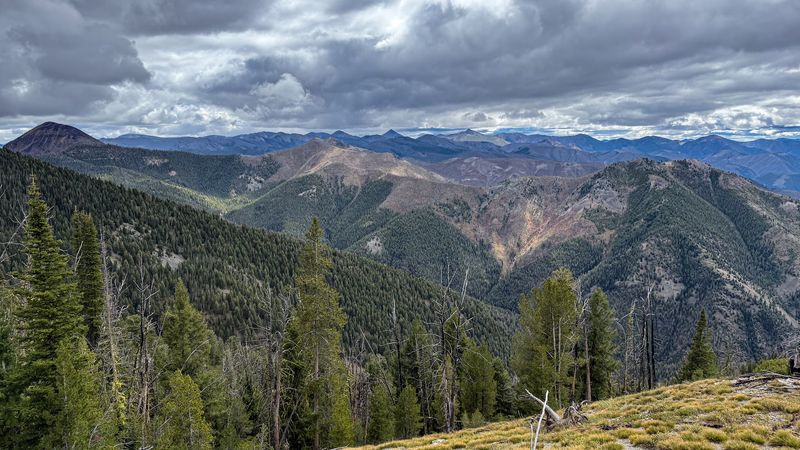
The largest contiguous wilderness in the lower 48 sits partly within this forest. Named the Frank Church-River of No Return, it covers roughly 2.3 million acres.
The southern edge of Nez Perce-Clearwater National Forest reaches into that enormous protected block. Trails here climb hard and reward with views across unbroken country.
Big game moves through in serious numbers. Elk, mule deer, bighorn sheep, and mountain goats all use these slopes.
Summer heat can be intense in the canyon bottoms, so early starts matter. Carry a filter, because reliable water often means dropping to the river.
Access points require patience on gravel roads. High-clearance vehicles handle the approach far better than low sedans.
Hunters and packers know this ground well, though most trails stay quiet outside autumn. Midsummer hikers frequently walk all day without meeting a soul.
Respect the remoteness and it becomes a gift rather than a worry.
The Lolo Motorway, A Ridge Road With History
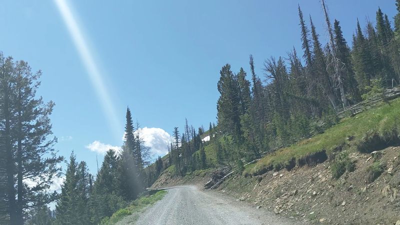
Few roads carry as much story as Forest Road 500. Better known as the Lolo Motorway, it traces ridges near the historic Nez Perce Trail.
Lewis and Clark crossed this rugged high country in 1805 and again in 1806. Their route across the Bitterroots remains one of the hardest stretches of that entire journey.
The road itself is narrow, rough, and slow. Plan on many hours to cover its length, and skip it entirely in a low-clearance vehicle.
Snow lingers into summer, and washouts happen. Check conditions before setting out, because turning around can cost half a day.
Small trailheads branch off along the way, and most see very little use. Those spurs are where the true quiet lives.
Carry a full-size spare tire and extra fuel. Cell coverage is essentially nonexistent along the ridge.
Go slowly, and the drive becomes the destination.
Hot Springs Hidden Along The Lochsa
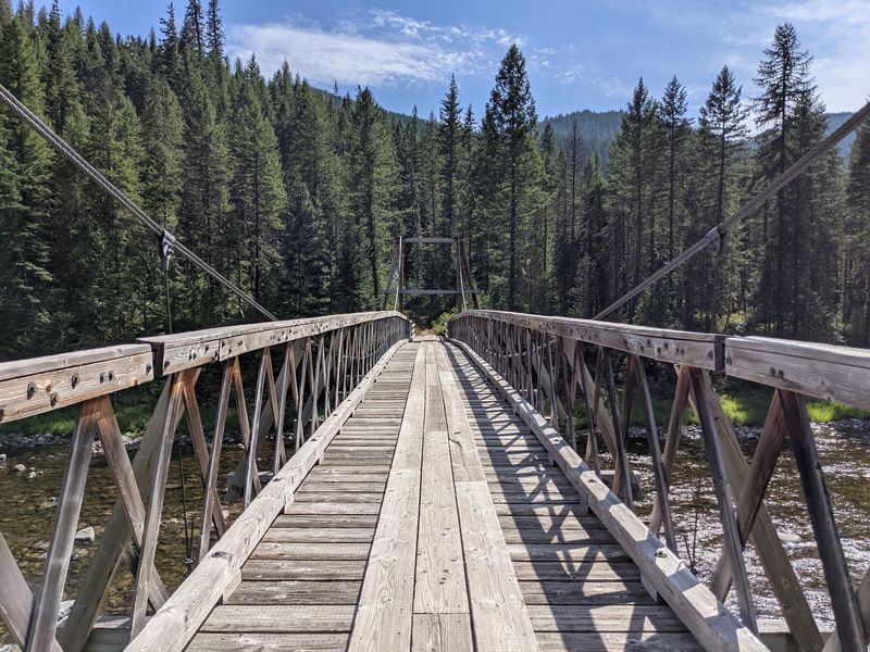
Geothermal water bubbles up in several spots near Highway 12. Jerry Johnson Hot Springs and Weir Creek Hot Springs are the best known of the group.
Both require short hikes rather than a simple roadside stop. Jerry Johnson runs about a mile from the Warm Springs trailhead, crossing a footbridge over the Lochsa River.
Weir Creek is shorter but steeper, with slick footing after rain. Traction devices help enormously during icy winter months.
Soaking pools sit at varying temperatures, so test before stepping in. Rocks near the source can be genuinely hot.
These springs are among the busier corners of Nez Perce-Clearwater National Forest, especially on weekends. Weekday mornings offer a much calmer experience.
No trash cans exist at either site, so pack out everything you bring. Restrooms at trailheads may lack supplies.
Treat the pools gently and future soakers will thank you.
Seven Devils And The Heaven’s Gate Overlook
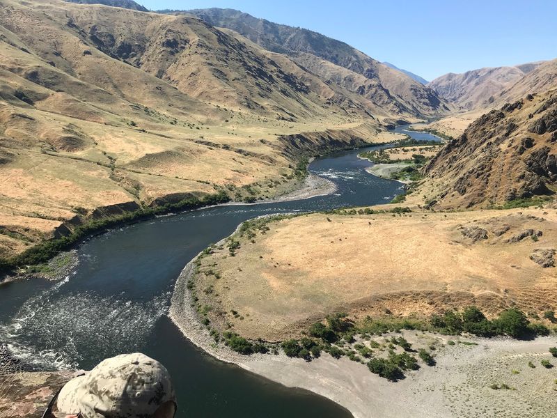
Sharp granite peaks with dramatic names rise above the Snake River country. The Seven Devils include summits like He Devil and She Devil, topping 9,000 feet.
A steep gravel road climbs from Riggins toward the Seven Devils Campground area. The route gains thousands of feet, so brakes and patience both get a workout.
Heaven’s Gate Lookout crowns the drive at roughly 8,400 feet. From the short walk up, you can see across three states on clear days.
Hells Canyon spreads below, the deepest river gorge in North America. Its depth exceeds that of the Grand Canyon by a wide margin.
The Seven Devils Loop trail circles the range for around 27 miles. Alpine lakes dot the route, and many campsites sit far from anyone else.
Snow closes the access road well into July most years. Always confirm opening dates before driving up.
The payoff justifies every rough mile.
Wild Rivers Worth Building A Trip Around
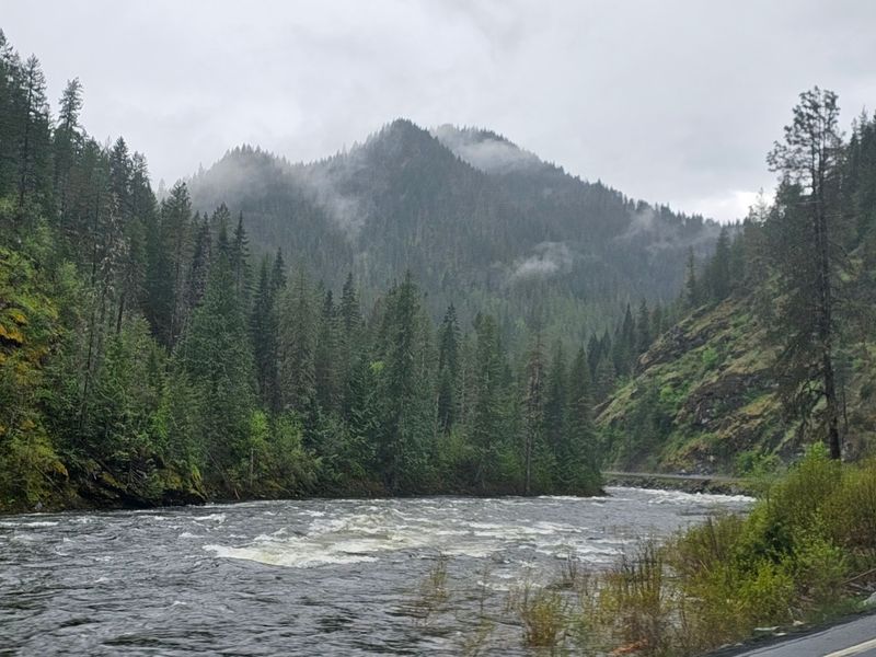
Water shapes almost everything in this landscape. The Lochsa, Selway, Salmon, and Clearwater rivers all flow through or beside the forest.
The Middle Fork Clearwater system earned Wild and Scenic designation in 1968. That status came in the very first group of rivers protected under the law.
Whitewater paddlers treasure the Lochsa for its powerful spring rapids. Snowmelt in May and June turns it into a serious challenge for skilled boaters.
Anglers come for steelhead and native trout, following seasonal rules closely. Regulations change by stretch, so check current rules before casting.
On hot afternoons, shallow gravel bars make excellent swimming spots. Families often park along Highway 12 and wade in near calm eddies.
The North Fork Clearwater draws people who prefer fewer neighbors. Its upper reaches feel wonderfully forgotten.
Bring water shoes, since river rocks are slick and unforgiving.
Moose, Elk, And Neighbors With Fur
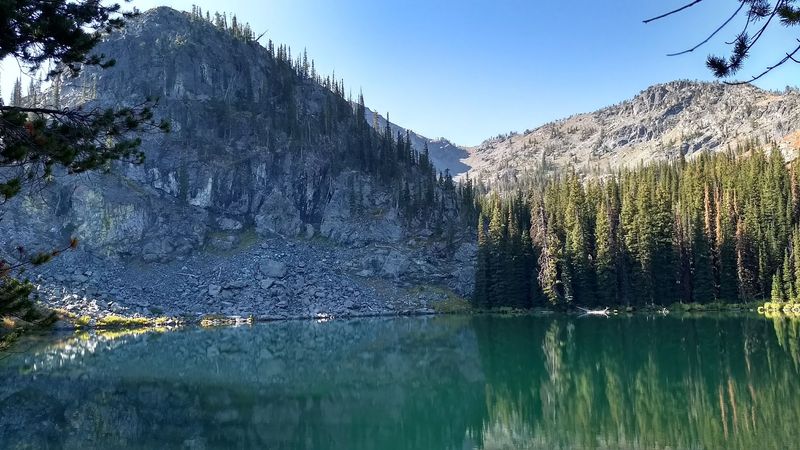
Wildlife sightings happen often enough to feel routine here. Moose show up in willow-lined marshes, usually at dawn or dusk.
Elk herds move between high meadows and lower timber with the seasons. Their bugling in September carries a long way across the canyons.
Black bears roam widely, which means food storage matters. Hang food or use a hard-sided container at every backcountry camp.
Mountain goats cling to cliffs in the higher ranges. Binoculars turn distant white specks into unforgettable moments.
Keep a respectful distance from everything, especially moose with calves. They are far quicker than their bulky frames suggest.
Gray wolves and mountain lions also live within Nez Perce-Clearwater National Forest, though sightings stay rare. Tracks in mud tell the story more often than eyes do.
Birders find pileated woodpeckers, ospreys, and varied thrushes throughout the drainages. Morning walks near water usually produce the longest species lists.
Quiet feet see more than fast ones.
Camping, Cabins, And Sleeping Under Stars
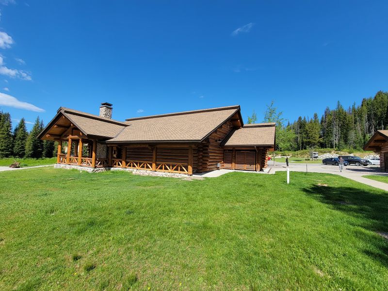
Sleeping options range from bare-bones to genuinely cozy. Dozens of developed campgrounds sit near rivers and along scenic byways.
Historic lookouts and rental cabins can be reserved through the national recreation reservation system. Some perch on ridges with views that stretch for miles.
Dispersed camping is allowed in many areas, which suits people chasing privacy. Follow local rules and camp on durable ground away from water sources.
Fire restrictions change with conditions each summer. Always check the current status before striking a match.
Nights get cold even in July at higher elevations. A warm sleeping bag prevents a long, shivery morning.
Stargazing is exceptional because towns are few and small. On moonless nights the Milky Way looks almost solid.
Mosquitoes peak in early summer near lakes and meadows. Repellent and a head net make evenings far more pleasant.
Reserve popular sites early for holiday weekends.
Smart Preparation For Truly Remote Trails
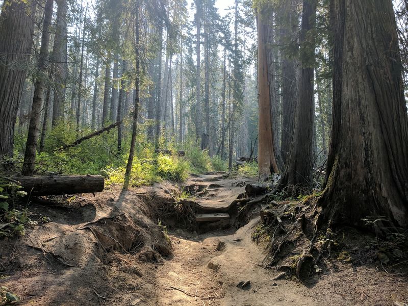
Remoteness is the attraction, and also the responsibility. Help can be many hours away, so self-reliance is essential.
Tell someone your route and expected return time before leaving. A written plan left in a vehicle helps searchers if plans change.
Carry a paper map, compass, headlamp, first aid kit, and extra layers. A satellite messenger adds real peace of mind in dead zones.
Road conditions shift after storms, and landslides do close routes. Confirming access with rangers beforehand saves hours of backtracking.
Pack out every scrap of trash, since bins are absent on trails. A spare bag weighs nothing and keeps places clean.
Ice cleats help on steep, frozen paths during colder months. Summer hikers should watch for afternoon thunderstorms on exposed ridges.
Fuel up in towns like Grangeville, Kooskia, or Orofino before heading in. Stations inside the forest simply do not exist.
Prepare well, then enjoy the rare luxury of an empty trail.