
This 45-Mile Missouri Ozarks Drive Twists Past Waterfalls And Small River Towns That Most People Never Find
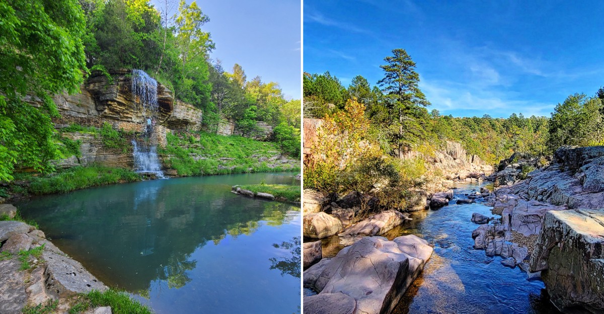
This is a road trip with the perfect balance of nature and small-town charm. This Missouri Ozarks drive winds for miles past waterfalls and river towns most people never actually find.
Scenery shifts constantly along the way, offering views a car window rarely frames this well. Roads wind through areas most travelers wouldn’t otherwise think to explore.
Regulars know exactly which stretches offer the best views depending on the season. Nothing about this drive feels rushed, letting the scenery take center stage the entire way.
Stops along the route reveal small towns worth exploring beyond just the drive itself. This drive proved that sometimes the destination matters less than everything you see getting there.
The Forest That Swallows The Map
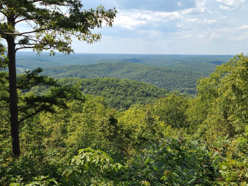
Picture a forest so scattered it shows up on the Missouri map like spilled paint. Mark Twain National Forest covers about 1.5 million acres, broken into sections that stretch from the middle of the state down toward the southwest corner.
The headquarters sits in Rolla, which makes a handy launch point for anyone heading south into the hills. Rangers there deal with everything from trail questions to campground closures, and the forest itself never closes its gates because there really aren’t any.
What surprises most first-timers is the variety packed inside. Oak and hickory ridges give way to rocky glades, then to creek bottoms shaded by sycamores that lean over the water like they’re eavesdropping.
Wildlife shows up constantly if you keep your eyes open. Deer, wild turkeys, armadillos waddling across gravel roads, and hawks riding the thermals above the ridgelines.
One thing worth knowing before setting out is that phone GPS can turn unreliable fast. Signal drops, forest roads wash out after heavy rain, and a few routes loop back on themselves in ways that test your patience.
Paper maps sound old-fashioned until they save your afternoon. Grab one, pack extra water, and bring firewood since stores are scarce out here.
The forest office sits at 401 Fairgrounds Rd, Rolla, MO 65401.
Steelville And Its Floating Reputation
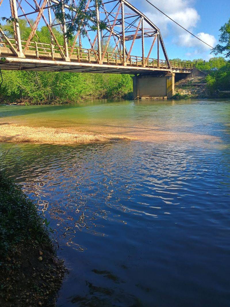
Calling yourself the Floating Capital of Missouri is a bold move for a town of a couple thousand people. Steelville backs it up, though, sitting right where three clear rivers come together on the northern edge of the forest country.
Downtown feels like a movie set nobody bothered to take down. Murals cover several brick walls, storefronts have that worn-in charm, and diners serve pie without any irony about it.
Lange General Store has been doing business since 1908, which means it has outlasted roughly a dozen shopping trends. Old-fashioned candy fills the jars, and the creaky floors do half the storytelling.
The town works best as a starting line. Outfitters here send canoes and kayaks down the Meramec, Huzzah, and Courtois, and the shuttle drivers know every gravel bar by name.
Summer weekends get busy with float traffic, so early mornings are calmer if you prefer quiet. Fall brings a different crowd entirely, mostly leaf watchers and anglers chasing smallmouth bass in cooler water.
Fuel up here before heading deeper south. Gas stations thin out quickly once the road starts climbing into the hills, and the next reliable stop might be thirty miles and several creek crossings away.
Stock up on snacks too. Nobody regrets extra snacks.
Where Three Clear Rivers Tangle Together
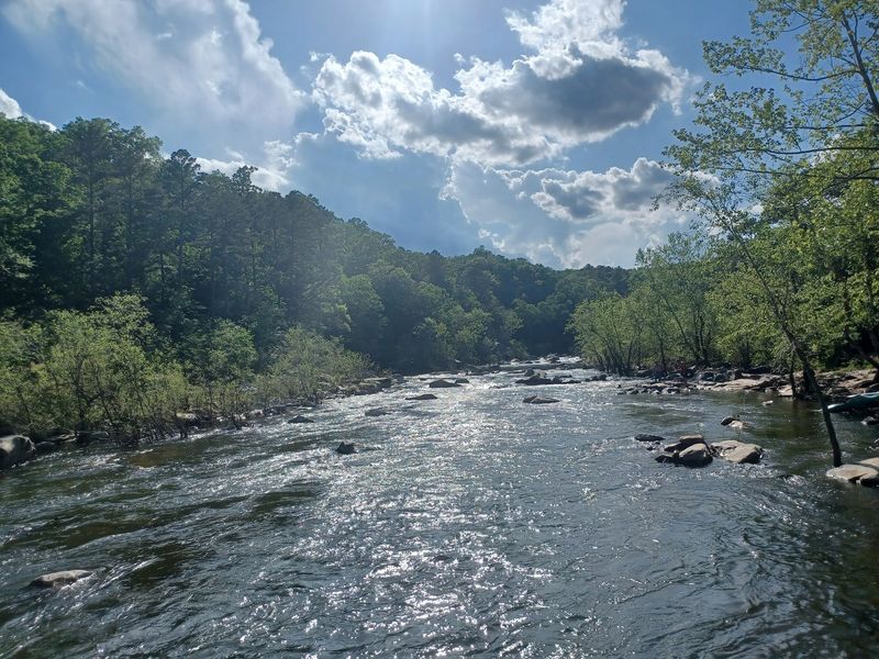
Spring water is the secret ingredient in this whole region. The Meramec, Huzzah Creek, and Courtois Creek all run cold and startlingly clear, fed by underground springs that filter through limestone.
Huzzah Creek moves at a friendly pace, with gentle riffles and long pools that make it a favorite for relaxed paddling. Locals pronounce Courtois as Coat-a-way, and correcting that pronunciation is a quick way to sound like a tourist.
Bluffs rise along both creeks in spots, gray rock faces streaked with moss and hung with cedars that grow out of nothing. The water below is shallow enough in places to walk across.
Fishing runs strong here. Smallmouth bass hold in the deeper pools and behind rocks, and sunfish flash in the shallows where the light hits.
Water levels swing wildly depending on rain. After a storm, these creeks turn fast and muddy, and a float that felt lazy last week suddenly demands attention.
Gravel bars make excellent lunch spots, cooled by moving water and shaded by big sycamores. Herons stalk the edges, occasionally giving travelers a long, judgmental stare before lifting off.
Bring water shoes. The rocks are slick, mossy, and completely indifferent to your balance.
Dillard Mill And Its Hidden Cascade
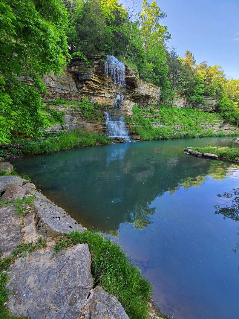
Some buildings photograph themselves. Dillard Mill is one of them, a barn-red water-powered gristmill standing beside Huzzah Creek with its reflection doubling in the pond below.
Built in 1908, the mill still holds much of its original machinery, and a good portion of it can actually run. Gears, belts, and grinding stones sit exactly where millers left them, which makes the inside feel oddly paused.
Here is the part most people miss. Over the years, Huzzah Creek carved its own small waterfall near the mill, a cascade shaped purely by water wearing down rock.
The sound carries. On a quiet morning, moving water is basically the only thing you hear besides birds arguing in the trees.
A short trail called Mill View runs about 1.4 miles and delivers exactly what the name promises. From the high point, the mill, the ponds, and the surrounding hollow all line up in one view.
The trail is easy enough for most walkers, with a few rocky sections that reward decent shoes. Spring wildflowers and October color are the two peak windows.
Photographers tend to linger here longer than planned. Something about red paint against clear water and green woods keeps pulling people back for one more shot.
Caves Carved Beneath The Hills
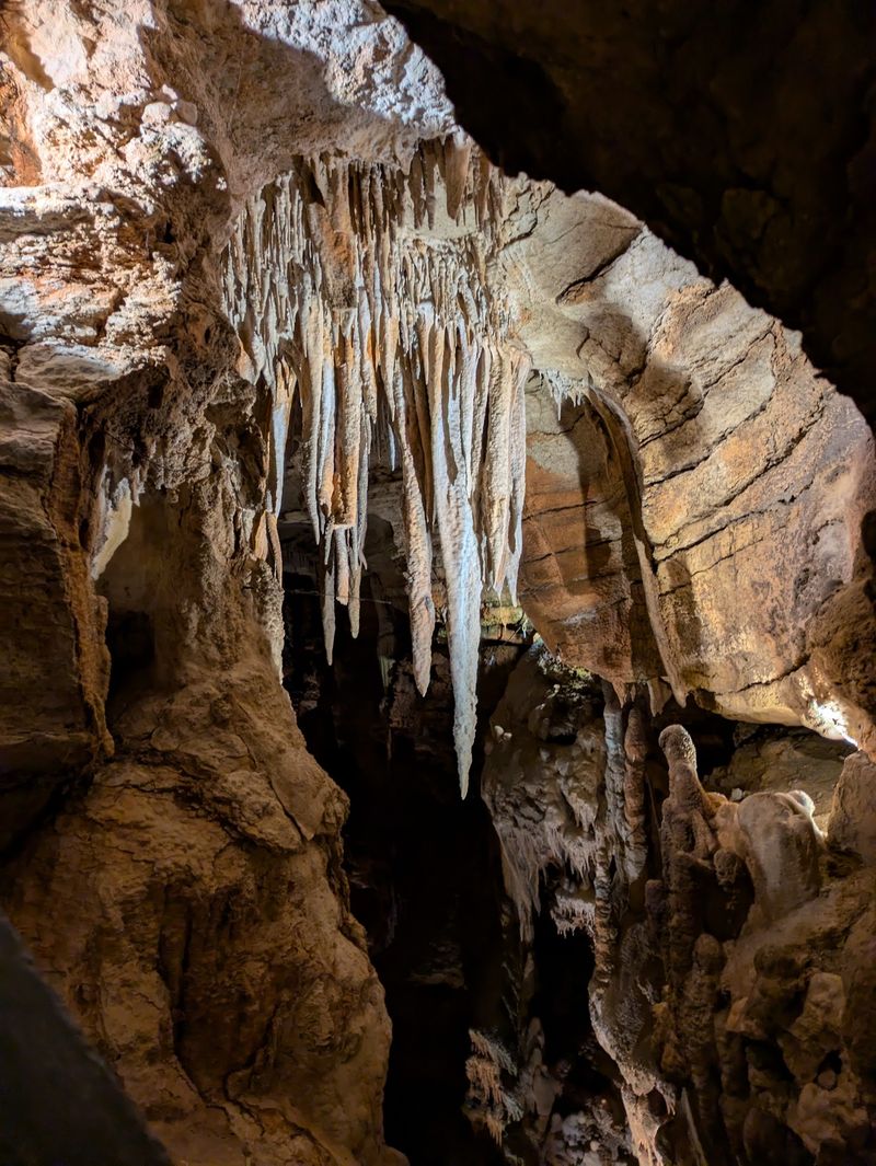
Missouri holds more than 5,000 caves, a statistic that sounds made up until you realize the whole state sits on limestone. Water has been drilling holes through it for millions of years.
Onondaga Cave State Park, near Steelville, shows off the results. Guided tours wind past flowstone that still glistens and grows, drip by patient drip.
Geologists call this landscape karst, which basically means the ground is full of plumbing. Sinkholes swallow rainwater, underground streams carry it for miles, then springs push it back out cold and clear.
That system is why the creeks around here stay so transparent. The water spends its time underground getting filtered through rock instead of running across farm fields.
Cave temperatures hover around the mid-fifties year-round, which makes them a relief in July and a pleasant surprise in January. A light jacket handles it.
Bats live in many of these caves, and protecting them is serious business. Rules about clothing and gear between caves exist because a fungal disease has hit bat populations hard.
Above ground, springs bubble up in the strangest places. Some flow millions of gallons a day, quietly feeding the same rivers you crossed twenty minutes earlier without realizing the connection.
Camping Under Genuinely Dark Skies
City folks sometimes forget how many stars actually exist. Out here, with the nearest streetlight thirty miles away, the Milky Way shows up like someone smeared chalk across the sky.
Campgrounds scatter across the forest, some developed with paved pads and restrooms, others barely more than a clearing beside a creek. Dispersed camping is allowed in much of the forest, which is a rare gift.
Sutton Bluff is one of the better-known spots, reached by a long road that discourages casual traffic. Creekside sites are the prize, though they fill fast on holiday weekends.
Mosquitoes deserve an honest warning. In summer they treat campers like a buffet, so bug spray is not optional.
Check conditions before committing to a remote site. Campgrounds close for water issues, storm damage, or maintenance, and a closed gate after two hours of gravel road stings.
Many roads leading in are narrow with low branches, which large RVs discover the hard way. Smaller rigs and tents fare much better on these routes.
Total darkness also means total quiet, broken only by owls, tree frogs, and the occasional whippoorwill that refuses to shut up. Earplugs or acceptance, your choice.
Caledonia With Its Scottish Streak
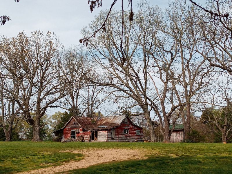
A Missouri village named after the old Latin word for Scotland. Caledonia was founded in 1819, and the Scottish settlers who named it left their mark on the whole place.
The historic district holds a cluster of 19th-century buildings that never got bulldozed for anything modern. Walking the few blocks takes maybe twenty minutes, or two hours if antique shops tempt you.
Old Village Mercantile dates to 1909 and functions as the town’s gravitational center. Hundreds of varieties of old-fashioned candy line the shelves, plus antiques and artisan ice cream that disappears fast in summer.
Craft stores and vintage dealers fill several storefronts, selling the kind of odd treasures you did not know you wanted. Cast-iron skillets, glass bottles, quilts, mystery tools.
The town works as a quiet base for bigger adventures nearby. Elephant Rocks State Park sits close, with its pink granite boulders stacked like a giant abandoned toy set.
Taum Sauk Mountain, the highest point in Missouri, is also within reach. The summit is famously unimpressive, a gentle rise in the woods, which somehow makes it more charming.
Caledonia moves slowly on purpose. After miles of winding forest road, that pace lands just right.
Trails Ridges And The Fine Print
Miles of trail thread through these hills, and most of them are rockier than expected. Ankles roll easily when hikers stop watching their feet, so sturdy boots earn their keep here.
Trail markers exist and are usually clear, but a few stretches hide behind summer growth. Stopping to confirm the next blaze beats backtracking a mile later.
Creeks that look reliable on a map can run bone dry by late summer. Anyone filtering water should carry backup rather than counting on a specific crossing.
Horseback riders share many routes, and mountain bikers use others. Off-road vehicle trails run separately, which keeps the peace reasonably well.
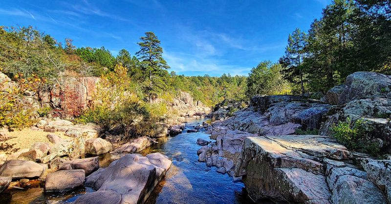
The Castor River section near Fredericktown is worth a detour if time allows. Water there squeezes through pink granite and drops over a small falls, with boulders worn smooth over thousands of years.
Fall color peaks in October, painting the hardwood ridges in rust, gold, and stubborn green. Spring brings redbuds and serviceberry blooming along the roadsides.
Come prepared, because help is far away and signal is spotty. Extra food, a real map, and a full tank turn a risky trip into a great one.