
An Entire Forgotten Oklahoma Town Lies Beneath This Enormous Lake Built Decades Ago
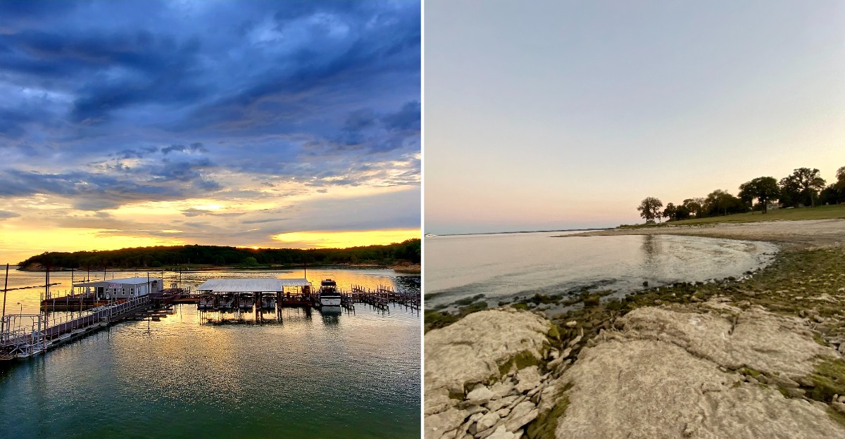
These are the kinds of stories rarely told, about places rarely visited, and that’s exactly why this one deserves a trip. An entire forgotten Oklahoma town lies beneath this enormous lake, built decades ago and flooding what once stood there completely.
Structures occasionally become visible during periods of low water, offering rare glimpses of what disappeared underneath. Nothing about the town feels restored or maintained beyond what nature and the water have already done to it.
Locals share stories about the original town, some details shifting depending on who tells them. Divers and explorers occasionally document what remains, adding new pieces to an otherwise quiet history.
Photography opportunities exist during rare drought years when the water recedes enough to reveal ruins. This lake proved that sometimes entire histories can disappear beneath the surface and still not be forgotten.
The Vanished Town Of Woodville
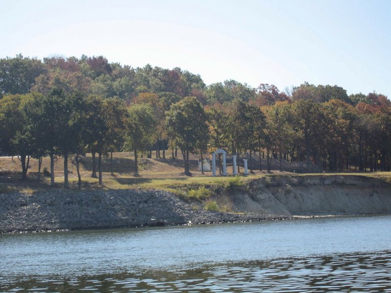
Back in 1944, a farming community in Marshall County counted somewhere between 360 and 364 residents. Its name was Woodville.
The town honored Judge L. Lipscomb Wood, a prominent Chickasaw citizen, and it had the look of a place built to last.
Brick buildings lined the streets, and a public well sat right at the corner of Broadway and Main.
Farmers hauled crops through it. Neighbors gathered at the well.
For decades, it functioned as the beating heart of the surrounding countryside, a genuine crossroads rather than a dot on a map.
What makes the story land harder is how ordinary the place was. Nobody living there in the 1930s imagined the whole thing would one day sit under 80 feet of water, visited only by catfish and the occasional scuba diver.
Families raised kids in those houses. Kids walked those streets to school.
Then the federal government approved a dam downriver, and the clock started ticking on every single building.
The remnants of the original townsite rest in Marshall County, Oklahoma, just across the Red River from what is now the Preston Peninsula, part of Lake Texoma in the United States.
Knowing that changes how the water looks. It stops being just scenery and starts feeling like a lid over something much older.
What Still Rests Beneath The Waters
Water filled in slowly, and then Woodville was gone. Not demolished into nothing, though.
Just covered.
Old roads still run along the lake bottom, disappearing into silt. Bridge pieces, house foundations, and the outlines of businesses remain down there, along with flooded farmland and stands of drowned trees that never rotted away completely.
Then came 2011. Record drought pulled the water down to shocking lows, and pieces of the past came back into daylight.
Headstones from the Woodville Cemetery appeared along the exposed shoreline. Structures buried under decades of mud turned up again, briefly, before the rains returned and tucked everything back under.
Fish absolutely love the setup. All that submerged concrete, timber, and stone works like a freshwater reef, giving bait fish cover and giving bigger predators a reason to hang around.
Scuba divers know about it too. Exploring a sunken townsite in the middle of Oklahoma is not exactly a common weekend activity, which is precisely why some people keep coming back for it.
Visibility varies wildly depending on wind and season, so divers plan carefully. Anyone curious about the submerged history should go with experienced local guides rather than winging it.
The lake keeps its secrets most years. Every so often, it lets a few slip.
How Denison Dam Built A Giant
None of this happens without a dam, and this one has a serious backstory. Congress greenlit it through the Flood Control Act of 1938.
The U.S. Army Corps of Engineers broke ground in August 1939, right as World War II began swallowing the world’s attention and resources.
Construction wrapped up in February 1944.
German prisoners of war contributed labor during the project, which is one of those details that stops conversations cold when you mention it.
Three jobs justified the whole thing. Flood control came first, followed by hydroelectric power and a reliable water supply for the region.
The Red River had a nasty habit of overflowing and wrecking farmland, roads, and entire communities downstream. Engineers wanted it tamed, and the dam was the answer.
When finished, Denison Dam held the title of America’s largest rolled, earth-filled dam. That was not a small brag in 1944.
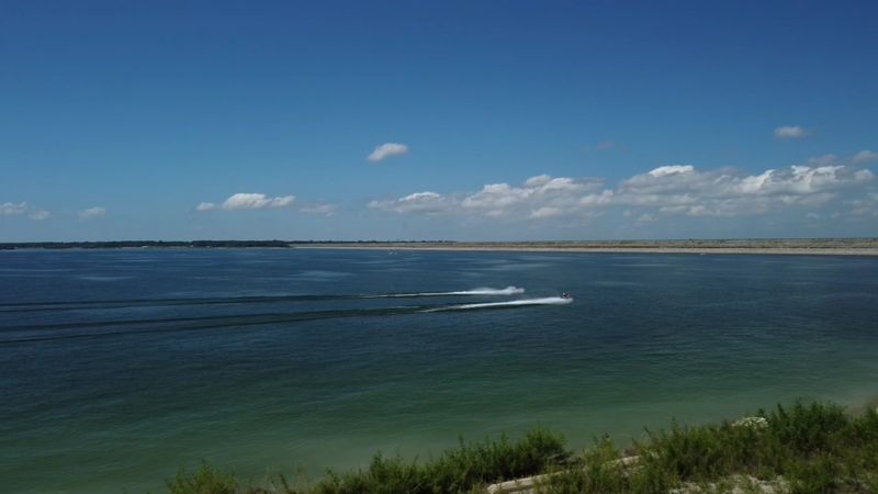
The reservoir behind it became Lake Texoma, straddling Oklahoma and Texas and turning into one of the biggest lakes the Corps manages anywhere in the country.
Anyone who parks near the dam and walks the shoreline can still get a sense of the scale involved. It is a lot of earth, moved by hand and machine, in the middle of a war.
Outlaws Trails And Angry Governors
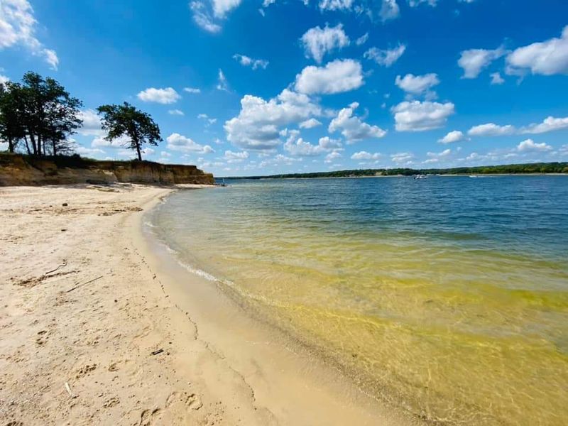
Long before anybody thought about dams, the Red River crossing near Woodville mattered a great deal. The Butterfield Stage Line used it, and so did the Shawnee Cattle Trail.
Herds and mail coaches funneled through the same stretch of riverbank. That kind of traffic turns a spot into a town fast.
The area picked up some rougher stories too. Local accounts say Bonnie and Clyde stopped by old Woodville for chicken fights and camped out near Washita Point.
When relocation began, families scattered but stayed close. A new community rose up and took the name New Woodville, keeping the old identity alive on higher ground.
Cemeteries had to move as well, and those relocations produced some unforgettable tales. One involves coffins tumbling off a horse-drawn cart during the trip.
Not everyone approved of the project either. Oklahoma Governor Leon C.
Phillips, nicknamed Red, threatened a lawsuit to stop the dam entirely.
He lost that fight. Archaeologists had their own concerns, noting the Red River Valley sat in an unusually strategic position along ancient trade routes.
Once the water rose, that research window closed. A significant gap in regional history now sits permanently under the surface, which historians still mention with obvious frustration.
Wide Open Shoreline And Old Fort Ruins
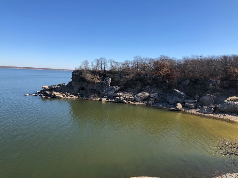
Here is something unusual about this lake. You will not find rows of private mansions hogging the waterfront.
The Corps of Engineers owns the entire shoreline, which means the edges stayed natural instead of getting carved up into lakefront lots. The result feels closer to a park than a subdivision.
Islands dot the open water, and some of them make excellent destinations for a boat picnic or a quiet afternoon with nobody else around.
Rocky cliffs, small caves, and pale sandy beaches show up along different arms of the lake. Fossil hunters do especially well here, with Cretaceous ammonites ranking as the most popular find.
On the north shore of the Washita arm sits Fort Washita, built in 1843 under General Zachary Taylor. Parts of it have been restored, and visitors can walk among the stone ruins.
Nearby wildlife refuges add another layer for anyone who prefers binoculars to fishing rods.
One practical tip worth knowing. Some access points route through private property, so it pays to head for designated public areas and Corps-managed parks instead of trusting the first pin that pops up on a map.
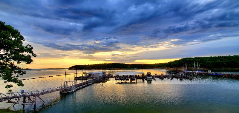
Sunsets over the open water have earned this place a loyal following. People plan whole evenings around them.
Striper Capital Of The World
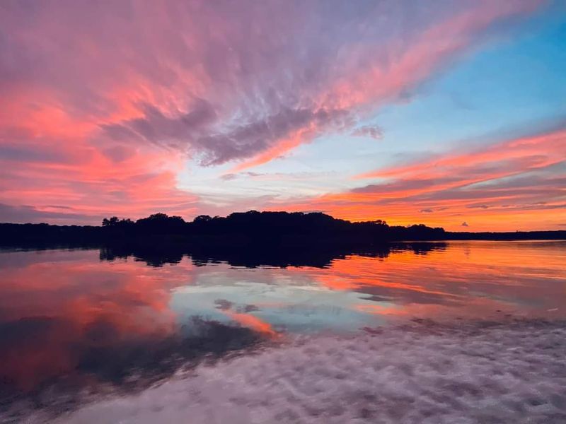
Ask any serious angler in the Southwest about striped bass, and this lake enters the conversation within seconds. The nickname Striper Capital of the World gets thrown around, and it is earned.
Stocking happened between 1969 and 1974. The fish took to the place so well that they now reproduce naturally, which is rare for landlocked stripers.
Catfish and other species keep rods busy too. Plenty of people show up chasing one fish and go home bragging about a different one.
Paddlers get their share of the fun. Kayaks and paddleboards work great in the sheltered coves, while the deeper, windier stretches attract sailors looking for real wind.
On land, trails wander through nearby state parks. Hiking, biking, and equestrian routes all exist, plus nature centers that explain the local habitats without making it feel like homework.
Bird watchers do well during migration seasons. Wildlife viewing here can range from deer to bald eagles depending on the time of year.
Camping runs the full spectrum, from developed campgrounds to simple spots near the water. A full moon over the lake has turned plenty of ordinary weekends into stories families retell for years.
The nickname Playground of the Southwest fits better than most tourism slogans.
Fossils Beaches And Family Traditions
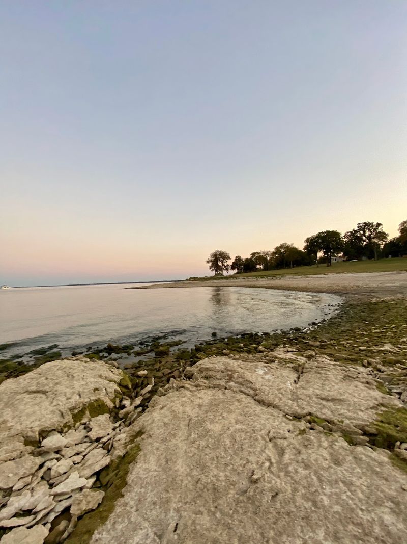
Six million visitors a year is a wild number for a lake, but the crowd makes sense once you see what is on offer. Swimming, boating, camping, and fossil hunting all live in the same place.
Beaches here get a lot of love, especially with families who want shallow water and room to spread out. Sandbars and small islands give kids somewhere to explore.
Fossil collecting might be the most underrated activity going. Ammonites turn up regularly along exposed shorelines, and the stretch near the dam has a reputation for good finds.
Camping options include first-come sites at several Corps campgrounds, which suit spontaneous trips. Cabins and RV hookups exist at various marinas and resorts around the lake.
Day trips from Dallas work easily, and plenty of families treat this as their annual tradition rather than a one-time stop.
A couple of practical notes help. Check the beach area for broken glass before letting kids run barefoot, and bring shade because summer heat here does not negotiate.
What sets the whole experience apart is the layered history. You can spend a morning catching fish above a sunken town and an afternoon picking up shells older than the dinosaurs.
Hard to beat that combination anywhere else in Oklahoma.
Why Sunken History Keeps Pulling People Back
Some lakes are just lakes. This one carries a whole chapter of Oklahoma under it, which changes the mood entirely.
Visitors come for the fishing and the beaches, then hear about Woodville and suddenly start looking at the water differently. Curiosity is a powerful souvenir.
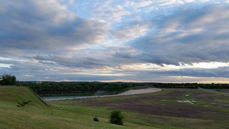
Photographers chase the light here, especially in the evening when the surface turns gold, and the far shore goes hazy. The sunsets are part of the local identity.
Drought years bring a strange kind of visitor traffic. When headstones and foundations reappear, people drive out specifically to look at what the receding water uncovered.
Respect matters in those moments. Old cemetery sites and historic remains deserve to be observed rather than disturbed or collected.
For most trips, the pleasures are simpler. A cooler, a rod, a tent, and a stretch of shoreline with nobody shouting nearby.
The lake straddles two states, so route planning can mean crossing a border for gas or supplies, which surprises first-timers in a fun way.
What lingers afterward is the contrast. Bright water, loud boats, happy kids, and underneath all of it, a quiet town that went to sleep in 1944 and never woke up.
Not many weekend destinations can claim that.