
10 Tennessee Walks Under 2 Miles For People Who Want The Views Without The Tough Hike
Not every outdoor adventure needs to leave your legs begging for mercy.
Tennessee has scenic walks where the distance stays short but the reward still feels impressive. Waterfalls appear after quick forest paths, overlooks open toward rolling mountains, and peaceful trails lead beside rivers and lakes.
None of the routes here stretches beyond two miles.
That makes them easy to work into a weekend drive or a relaxed afternoon outside. You can stop, walk, enjoy the scenery, and move on without turning the outing into an all day endurance test.
Shorter trails also give you more freedom to slow down. Take photos, sit near the water, or spend a few extra minutes at the overlook instead of worrying about miles still ahead.
For anyone who loves Tennessee scenery but would happily skip the exhausting climb, these walks offer a much easier route to the good stuff.
1. Burgess Falls Trail

Four waterfalls on one short walk sounds like an exaggeration. At Burgess Falls State Park, sitting at 4000 Burgess Falls Dr in Sparta, it is simply the schedule.
The Falling Water River drops more than 250 feet through the park in a series of cascades. The main event is a 130-foot plunge into a rugged gorge, and it earns every bit of attention it gets.
Roughly 1.2 miles of walking gets you the whole show, with only modest elevation change along the way. The River Trail carries you past all four falls, while the Ridgetop Trail offers downstream views for a different angle.
Underfoot, expect rocky patches, exposed roots, and damp spots after rain. Sturdy shoes solve most of that problem.
The forest here is a mixed mesophytic community, which is a fancy way of saying it holds a lot of variety. Eastern hemlock, umbrella magnolia, tulip poplar, beech, and hickory all share the same slopes.
Spring brings showy wildflowers along the path. After heavy rain, the river swells and throws up mist thick enough to spin out rainbows.
Sheer bluffs and narrow ridges frame the whole scene, with exposed rock layers older than anything you can imagine. Come early if you want the overlooks to yourself.
2. Falls Overlook Trail At Cummins Falls
Middle Tennessee keeps one of its biggest waterfalls close to a paved path, which feels almost too generous. The Falls Overlook Trail at Cummins Falls State Park, found at 390 Cummins Falls Ln in Cookeville, runs about 0.8 miles round trip.
From the overlook, the view is straight on and completely unobstructed. Cummins Falls tumbles 75 feet in two distinct drops before settling into a calm pool below.
Most of the walking surface is paved, which makes this one of the friendliest routes on the list. It winds through dry creek beds that fill with water after seasonal rain.
Summer foliage can soften the view a little. Winter opens the whole panorama wide, so cold-weather visits have a real advantage here.
The park covers 306 acres of woodland that people have picnicked in for generations. Land along the Blackburn Fork River has belonged to the Cummins family since 1825, which is a long stretch of history for one waterfall.
The gorge itself is rugged and requires permits and different footwear. The overlook trail asks for none of that effort while still delivering the postcard shot.
Bring a camera with a wide lens. This waterfall is broader than most people expect.
3. Cataract Falls Short Route
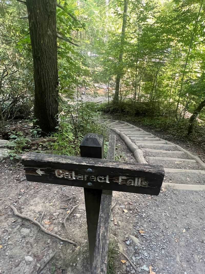
Parking lots and waterfalls rarely sit this close together. Behind the Sugarlands Visitor Center on Cove Mountain Trail in Gatlinburg, a 0.7-mile round trip leads to a 25-foot cascade called Cataract Falls.
The path begins paved, then shifts to gravel. Fighting Creek keeps you company for most of the walk, splashing along at a friendly volume.
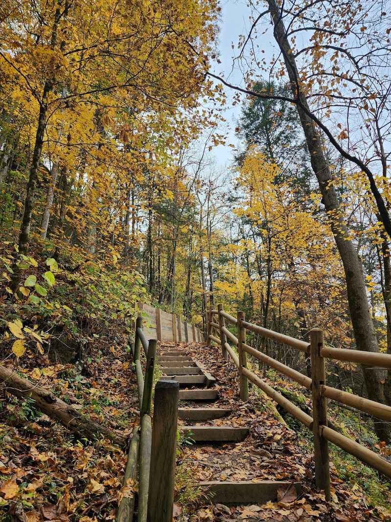
A charming footbridge crosses the creek, followed by a small flight of stairs. That is the extent of the challenge, which is good news for families with short legs in tow.
Informational plaques along the route explain the local plant life. Spring wildflowers appear in bright patches, and colorful fungi cling to older trees year-round.
The falls hide among the trees rather than dominating the view, which gives the spot a quiet, storybook feel. After a solid rain, the flow picks up and the whole scene gets louder.
Because the trailhead sits at a visitor center, restrooms and information are right there. That convenience makes this an easy first stop in the Smokies.
Crowds gather near the visitor center, but many people never notice the trail behind it. Their loss becomes your peaceful morning in the Tennessee mountains.
4. Look Rock Tower Trail
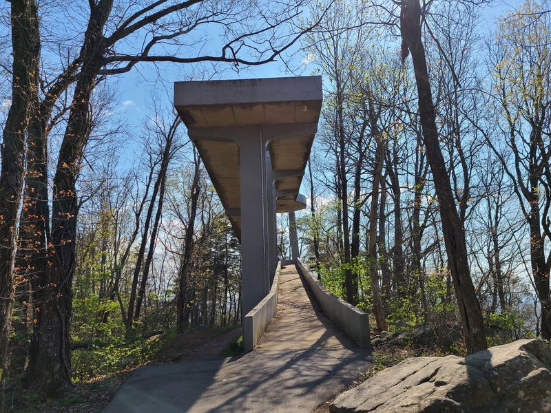
Panoramic views usually cost sweat. On the Look Rock Tower Trail along Foothills Parkway West near Maryville, they cost about 0.8 miles of paved walking.
The trail climbs to an observation tower perched at 2,652 feet, a high point on the Chilhowee Mountain ridge. From the top, the view spins a full 360 degrees.
You can pick out the Great Smoky Mountains, the wide Tennessee River Valley, and the skylines of Maryville and Knoxville. On exceptionally clear days, the Cumberland Plateau shows up in the distance.
Elevation gain sits somewhere around 130 to 170 feet, spread across a gentle uphill grade. Some sections buckle slightly from root growth, so strollers may need a nudge.
Sunrise and sunset both work beautifully here, painting the ridges in layers of gold and blue. Bring a jacket, since the ridge catches wind.
Deer, wild turkeys, and squirrels move through the surrounding woodland, often close enough to hear. The trail tends to be quieter than the famous Smoky Mountain routes.
Autumn leaves can turn the pavement slick, and winter ice sometimes coats the tower ramp. Choose your footwear accordingly and the reward far outweighs the effort.
5. Greeter Falls Loop
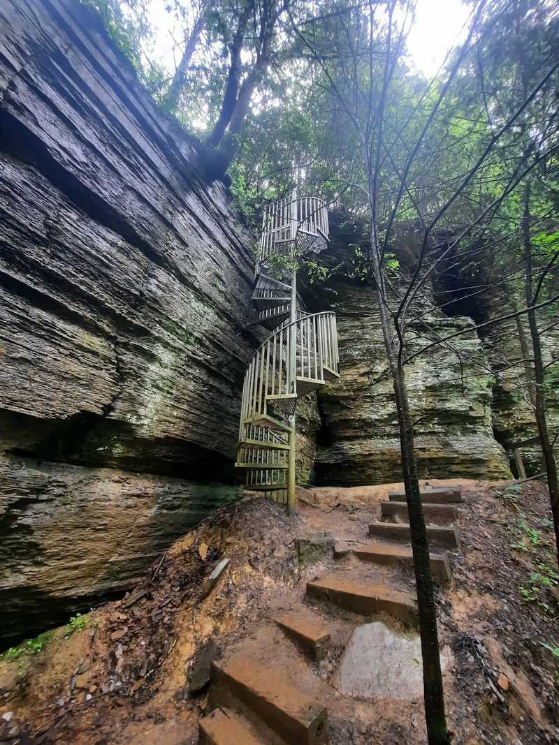
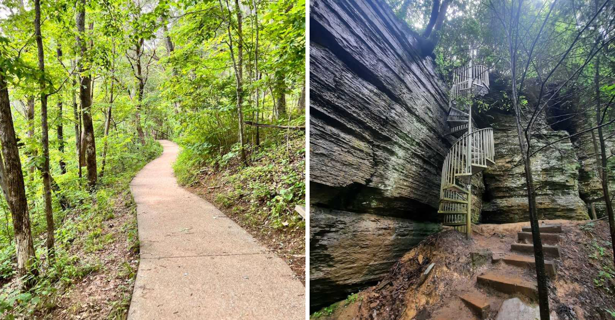
A metal spiral staircase is not something most trails can offer. The Greeter Falls Loop, reached from 550 Greeter Falls Rd in Altamont, includes one, and it is oddly fun to descend.
The 1.1-mile loop sits inside Savage Gulf State Natural Area, part of South Cumberland State Park. Two waterfalls wait along the way.
Upper Falls drops about 15 feet in a tidy little curtain. Lower Falls goes big at 50 feet, crashing into a cold, clear plunge pool that echoes through the gorge.
The first stretch stays mostly flat through shaded forest. Oak, hemlock, poplar, maple, and pine crowd in on both sides.
Then the trail descends into the valley and gets serious. Exposed roots, loose rocks, stone steps, and wooden stairs all appear before that spiral staircase finishes the job.
Mist from the falls keeps the metal steps damp, so grip the handrail and take your time. Careful footing matters more than speed here.
The natural area covers more than 15,000 acres of hardwood forest, creeks, and sandstone cliffs. Ferns, mosses, vines, and wildflowers fill in every gap beneath the canopy.
Short does not mean effortless on this one. It means efficient.
6. Ozone Falls Trail
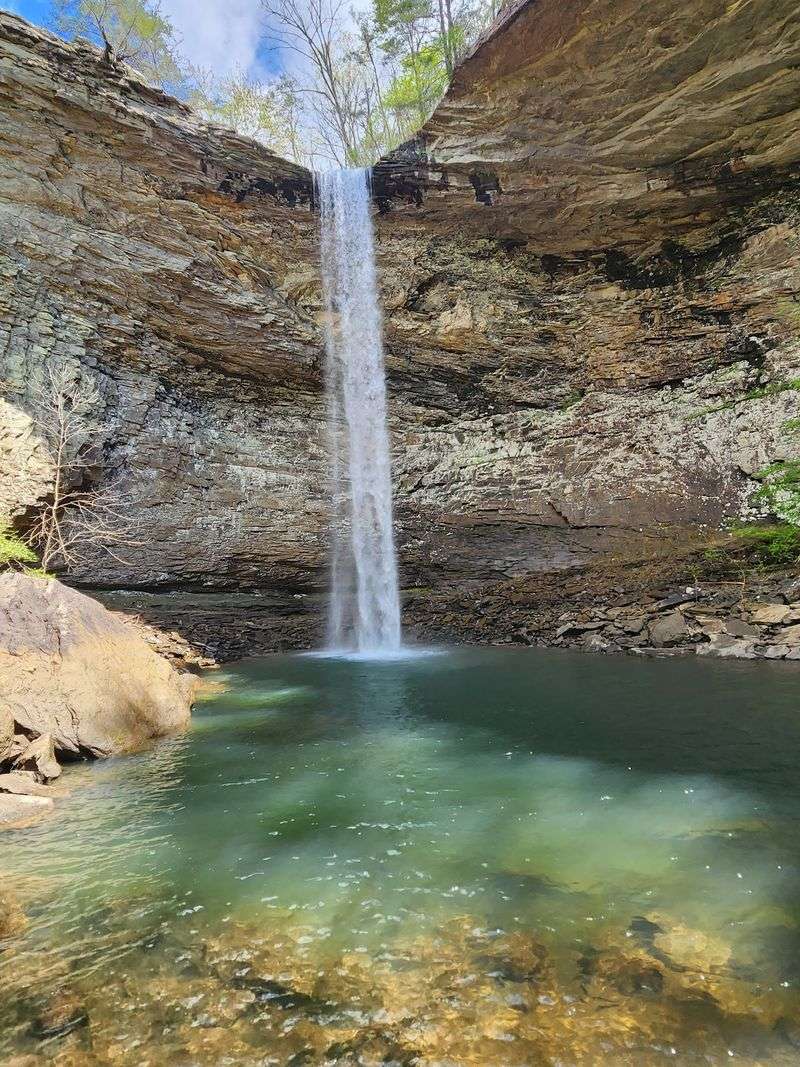
Disney filmed here twice, and once you see it, the reason is obvious. Ozone Falls State Natural Area, off TN-1 at 14563 in Ozone, provided scenes for both the 1994 and 2016 versions of The Jungle Book.
The trail runs just 0.3 miles, which may be the best effort-to-payoff ratio in the state. At the end, a 110-foot waterfall plunges into a deep, rock-strewn pool.
Wind, water, and erosion carved the surrounding rock house into a natural amphitheater. Standing inside it feels like being backstage at something ancient.
The name supposedly comes from the stimulating quality of the air created by mist off the falls. Whether or not that holds up scientifically, the air does feel remarkably fresh.
Fall Creek feeds the waterfall, then slips underground before reappearing downstream. The 43-acre preserve sits on the eastern edge of the Crab Orchard Mountains.
Boulders the size of houses scatter across the gorge floor, with quiet pools between them. An old-growth pocket of hemlock, white pine, magnolia, and yellow birch survives below the falls.
A rougher 0.75-mile route reaches the bluff and gorge for the ambitious. The short path satisfies everyone else.
7. Lost Creek Falls Trail
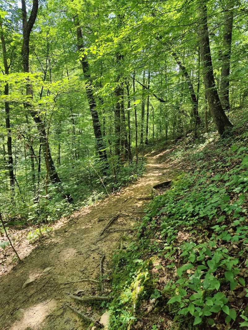
Two-tenths of a mile. That is the entire commitment required to reach Lost Creek Falls at 3990 White’s Cave Rd in Sparta.
Water emerges from a large spring inside a collapsed cave, then spills 60 feet over a cliff. The result looks less like a trail destination and more like a set piece.
Speaking of sets, this was another filming location for the 1994 live-action Jungle Book. Tennessee apparently doubles as a jungle rather convincingly.
The geology is what makes the place unusual. The creek appears, drops over the falls, then vanishes underground again inside a big natural bowl.
Cold air gets trapped in that sink during hot, humid summers. Rich ferns, liverworts, and flowers thrive in the cool pocket, keeping everything intensely green.
Nearby sits the entrance to Lost Creek Cave, one of the larger caves in the state with seven miles of mapped passages. Even from outside, the opening is impressive.
Mixed hardwoods cover the natural area, including butternut, sycamore, sweetgum, hemlock, oak, and hickory. Spring wildflowers show up in generous numbers.
The short path can turn slick after rain, so grippy footwear helps. Otherwise, this walk suits absolutely everyone.
8. Fall Hollow Falls Trail
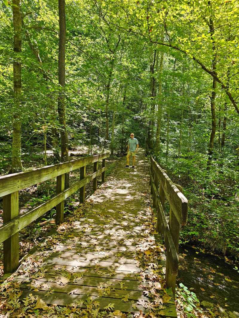
Road trips need good excuses to stop. Fall Hollow Trail near Hohenwald, sitting right off the historic Natchez Trace Parkway, provides one in about 0.4 miles.
The first section is paved and level, ending at an observation deck. From there, the main cascade appears almost immediately, which feels like getting dessert first.
Beyond the deck, the trail turns unpaved and steeper. It also gets more interesting, leading to additional waterfalls tucked deeper into the hollow.
Temperatures drop noticeably as you descend. The forest thickens, the air cools, and the whole space takes on a sheltered, secretive quality.
Look closely at the rock faces near the water. Falling water has carved patterns into the stone over enormous stretches of time, and the grooves tell that story clearly.
The lower path can get slippery, especially after rain. Take small steps and use tree trunks for balance where the grade steepens.
No facilities sit at the trailhead itself, though nearby parkway stops offer amenities. Plan your break accordingly.
Families passing through this part of Tennessee often treat it as a quick leg stretch. Many end up staying far longer than planned, which is exactly the point.
9. Jackson Falls Trail
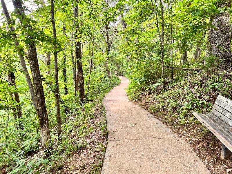
Only two waterfalls are directly accessible from the entire Natchez Trace Parkway. Jackson Falls, near Duck River, is one of them, which makes it something of a celebrity along that scenic road.
The trail measures roughly 0.4 miles and descends toward the water. Going down is easy, and the return climb is short enough to forgive.
What sets this waterfall apart is its shape. Water has sculpted the rock into smooth, layered tiers, so the cascade fans out rather than dropping in a single sheet.
The setting stays peaceful most of the time. Forest surrounds the path, and the sound of moving water replaces traffic noise almost instantly.
Surfaces near the falls can be genuinely slick, so watch where you plant your feet. Wet stone does not care how careful you think you are.
The parkway itself winds through green, rolling country in central Tennessee. Pulling off for this stop breaks up the drive nicely.
Morning light works well here, filtering through the trees onto the rock. Photographers tend to appreciate the layered patterns.
A quick visit fits easily into a longer parkway trip. Just leave a little extra time, because the water is hard to walk away from.
10. Round Bald Via Appalachian Trail
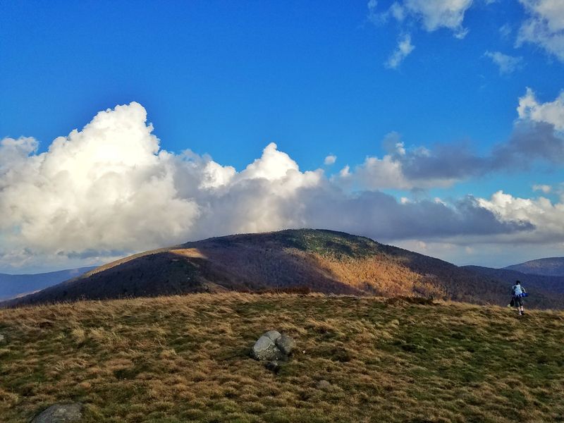
Very few Appalachian Trail sections hand over this much scenery for this little climbing. Round Bald, reached from Carver’s Gap on TN-143 near Roan Mountain, sits about 0.7 miles from the parking area.
Round trip lands around 1.6 miles. The summit delivers full 360-degree views across an ocean of ridgelines.
Grandfather Mountain shows up in the distance, along with layered ranges spilling across Tennessee and North Carolina. Many people call this one of the most scenic stretches of the entire trail.
The route starts through dense conifer forest, dark and fragrant. Then the trees fall away and the open, grassy balds take over, which is a genuinely startling transition.
Wooden steps and rocky tread make the first section steeper than expected. After that, the grade eases into a comfortable stroll.
Warm months bring wildflowers and wild blueberries to the rolling summits. Late spring and early summer light up the slopes with blooming Catawba rhododendron.
Wind sweeps across the balds with nothing to slow it down. A windbreaker turns a chilly visit into a comfortable one.
Parking at Carver’s Gap fills fast on weekends and peak bloom days. Arrive early, and the mountains feel almost private.