
This Enormous Mississippi Lake Was Built Over A Town Destroyed By A Tornado
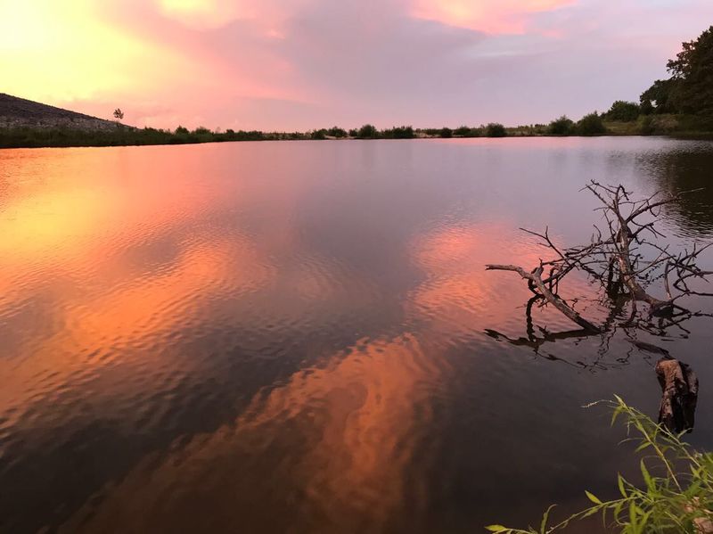
Some places look like nothing more than a nice spot to cast a fishing line, until you learn what sits underneath. In north central Mississippi, a huge lake stretches across the hills, calm and glassy on a summer morning.
Few visitors realize the water hides old roads, home sites, and the memory of a whole community. Its story mixes raging floods, wild storms, and a giant dam that changed the land forever.
1. The Great Flood Of 1927 Sets The Stage
Picture water stretching from one horizon to the other, covering cotton fields, rail lines, and front porches across the South. That was the reality in the spring of 1927, when the Mississippi River and its tributaries spilled over their banks in one of the worst floods in American history.
Hundreds of thousands of people were forced from their homes. Entire farming regions sat underwater for weeks, and the Mississippi Delta took a brutal hit.
Families lost crops, livestock, and nearly everything they owned.
Leaders in Washington realized that patching levees was not enough. The Flood Control Act of 1928 launched a massive federal plan to tame the river system, and smaller rivers feeding the Delta became part of that strategy.
One of those rivers was the Yalobusha, which wound through Grenada County.
Engineers began studying where reservoirs could catch heavy rains before they rushed downstream. Holding back water in the hills, they reasoned, would protect the flat lowlands below.
That idea would eventually reshape a quiet corner of the state.
Without that historic flood, the lake people enjoy today might never have existed. It all started with water that simply had nowhere else to go.
2. Grenada Dam Takes Shape
Construction crews broke ground on Grenada Dam in 1947, just after World War II ended. The U.S.
Army Corps of Engineers led the project, moving mountains of earth to build a long embankment across the Yalobusha River valley.
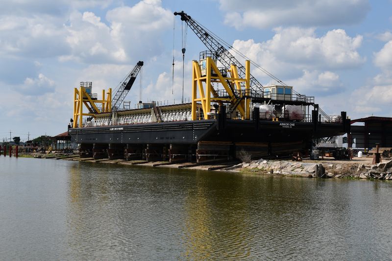
Work went on for years. Bulldozers, trucks, and hardworking crews shaped the dam piece by piece, adding a spillway and outlet works to control how much water flowed downstream.
For people living nearby, the steady rumble of machines became part of daily life.
By January 1954, the dam officially began operating. Its main job was flood control, catching heavy rain in the hills and releasing it slowly so towns and farms in the Delta stayed safer.
The Skuna River also feeds the lake, adding even more water to manage.
Here is a fun detail: the dam is an earthen structure, meaning it is built mostly from packed soil rather than solid concrete. That design is common for large flood control projects because it handles enormous pressure while staying sturdy.
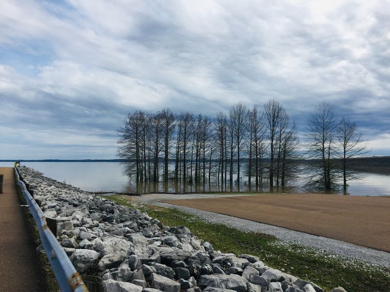
Today, drivers cross the top and take in sweeping views of the water. It feels peaceful now, but every inch of that embankment came from years of planning and labor.
3. The Lost Town Of Williamsville
About 18 miles west of the city of Grenada, close to the county line, once stood a small community called Williamsville. It was the kind of place where neighbors knew each other by name and a trip to the general store doubled as social hour.
When plans for the reservoir moved forward, Williamsville sat right in the path of rising water. Local records describe the town as destroyed when Grenada Lake was built.
Homes, churches, and farms had to be abandoned as the government bought land for the project.
Families packed up and moved to higher ground, carrying memories with them. Some relocated graves and buildings, while other structures were left behind.
For older residents, watching their hometown disappear must have felt deeply strange.
Stories about Williamsville still float around community pages and family gatherings. Grandparents describe the roads they walked as kids and the fields their parents farmed.
Those memories keep the town alive, even though no visitor can stroll its streets anymore.
Williamsville was not the only area affected, either. Scattered homesteads and small settlements across the valley shared a similar fate, quietly fading beneath the water.
4. Tornado History In Grenada County
Storms have always been part of life in Mississippi, and Grenada County has seen some fierce ones. On May 7, 1846, one of the most powerful tornadoes in early state records tore through the city of Grenada.
Historians later rated it as an F5, the strongest category on the old scale. Much of the young town was wrecked, and many buildings were flattened in minutes.
People rebuilt slowly, showing the toughness that runs deep in Southern communities.
So where does the tornado connection with the lake come in? Over generations, tales of storms and lost places have blended together in local memory.
The lake sits in a region shaped by both wind and water, and those two forces often get linked when folks share history around the dinner table.
Available records point to flood control, not a tornado, as the direct reason towns like Williamsville vanished. Still, the dramatic 1846 storm remains a major chapter in county history.
Curious readers can trace these events through old newspapers and tornado archives. Learning how a community bounced back from such a disaster adds real depth to any visit around the lake today.
5. Secrets Beneath The Waterline
Ever wonder what is resting at the bottom of a reservoir? At Grenada Lake, the answer includes old road beds, building foundations, fence lines, and countless tree stumps from forests that once covered the valley.
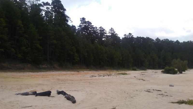
Water levels here rise and fall with the seasons. During winter drawdowns, when the Corps lowers the lake to make room for spring rains, parts of the old landscape sometimes peek out of the mud.
Visitors have spotted traces of former roads and bits of history along exposed shorelines.
Anglers know the underwater stumps well. Those hidden snags create cozy shelter for fish, which helps explain why the lake has such a strong fishing reputation.
A forest that once shaded farm families now shelters crappie instead.
Exploring the exposed lake bed can feel like flipping through an old scrapbook. A crumbling brick or a rusty piece of metal might belong to someone’s long gone farmhouse.
Rules protect historical items, so the best approach is to look, snap a photo, and leave everything in place.
That mix of mystery and nature makes each low water season a little like opening a time capsule that never fully reveals its contents.
6. A Lake Of Remarkable Size
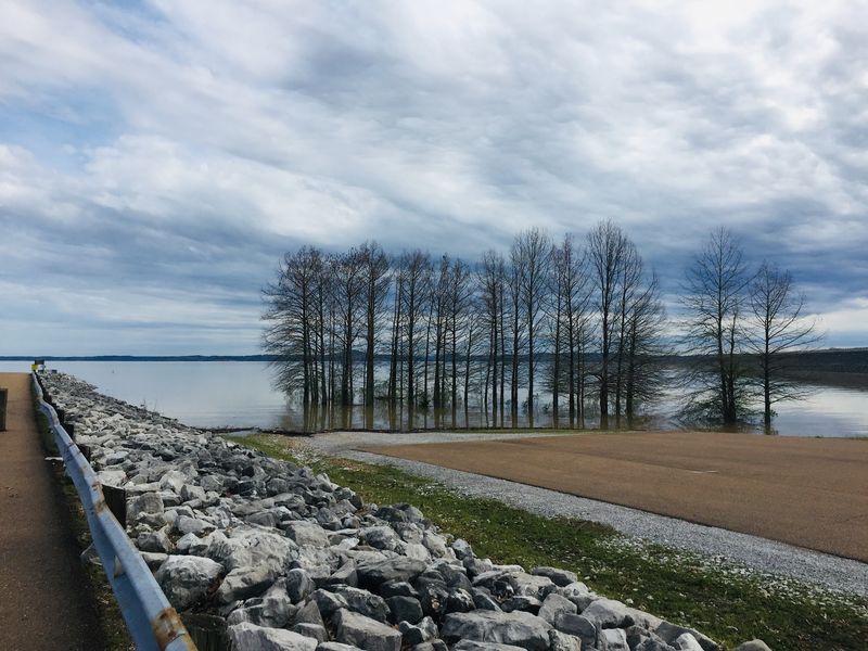
Calling Grenada Lake big almost undersells it. At its normal summer level, the lake covers tens of thousands of acres, and during major flood events the water can spread across an even larger area of the reservoir basin.
That size makes it one of the largest lakes in Mississippi. Long arms of water reach up the Yalobusha and Skuna river valleys, creating winding coves and quiet inlets that seem to go on forever.
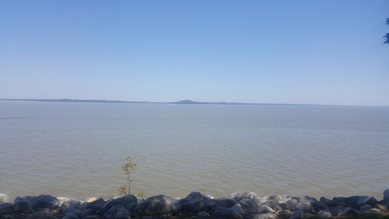
From the dam, the view looks more like an inland sea than a typical lake.
Surrounding the water, the Corps manages a huge stretch of public land. Forests, fields, and wetlands give wildlife plenty of space to roam.
Deer, wild turkeys, waterfowl, and eagles all make appearances, especially in the cooler months.
Size matters for flood control, too. A larger basin can hold more rainwater during big storms, protecting communities downstream in the Delta.
Every acre plays a role in that safety net.
Standing on the shore at sunrise, it is easy to forget the lake was built by people. The scale feels natural, as though the water has always belonged right there.
7. Fishing, Camping, And Outdoor Fun
Crappie fans, listen up. Grenada Lake has earned a reputation as one of the best crappie fishing spots in the country, with big slabs pulled from its stump filled waters every year.
Tournaments draw anglers from far and wide, and local bait shops buzz during spring spawning season. Bass, catfish, and bream also keep fishing lines busy.
Even beginners have a solid shot at landing something worth bragging about.
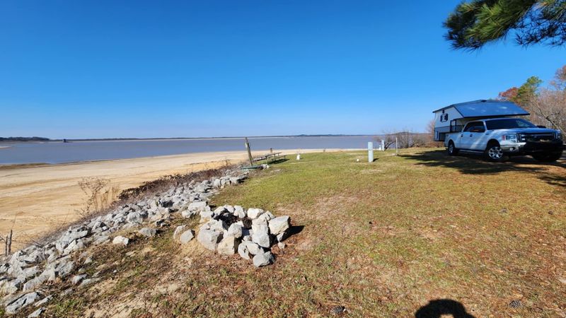
Beyond fishing, the area offers plenty to do. Hugh White State Park sits along the shore with campsites, cabins, and boat ramps.
Corps campgrounds, picnic areas, and swimming beaches spread around the lake, making it easy to spend a whole weekend outdoors.
Hiking trails wind through the woods, and birdwatchers enjoy spotting herons and bald eagles. Hunters use the surrounding public lands in season, following state rules and permits.
Families often return year after year, turning lake trips into tradition. Kids learn to bait hooks, roast marshmallows, and skip rocks across the water.
It is a cheerful twist for a place built from hard history, proving that new memories can grow right on top of old ones.
8. Remembering What The Water Covers
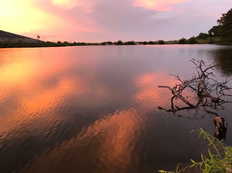
History has a funny way of hiding in plain sight. Boaters gliding across Grenada Lake are floating above places where children once played, farmers once plowed, and neighbors once gathered on Sunday afternoons.
Remembering those communities matters. Families from Williamsville and nearby settlements gave up their land so millions of people downstream could live with less fear of flooding.
That trade shaped the region, and it deserves recognition.
Local historical groups, libraries, and online community pages help keep these stories alive. Old photographs, maps, and family recollections offer glimpses of everyday life before the dam.
Anyone interested can dig into county records or chat with longtime residents who still hold those memories close.
Visiting with that history in mind changes the experience. A quiet cove becomes more than a fishing spot; it becomes a link to people who came before.
Even a simple picnic feels richer when you know the backstory.
Wind, floods, and human effort all left marks on this corner of Mississippi. The lake stands as a reminder that landscapes carry stories, and sometimes the most interesting ones lie just below the surface, waiting for curious minds to notice.