
This 70-Mile Pennsylvania Trail Leads To Ridge Views Most Hikers Never See
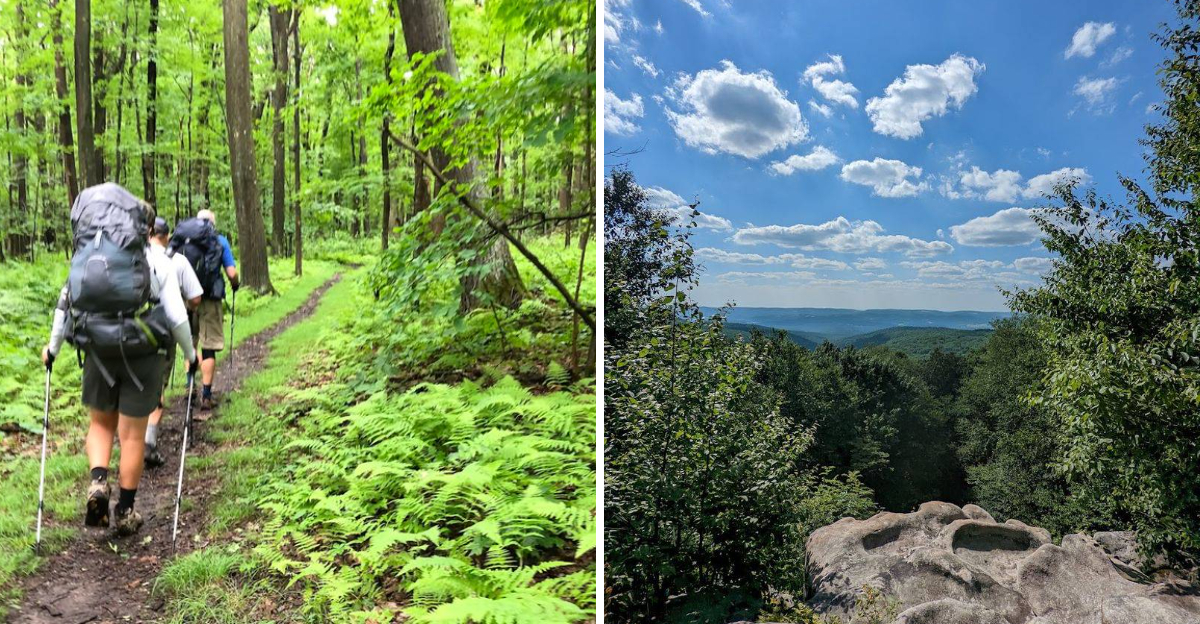
Seventy miles is a serious commitment, but the reward begins long before the final marker. This Pennsylvania trail climbs high above river valleys, cuts through deep forest, and reaches ridge views many hikers never know exist.
You will not find crowds waiting at every overlook. Long stretches feel wonderfully remote, with only yellow blazes, rocky climbs, and the sound of wind moving through the trees.
Shelters appear along the route, giving backpackers a chance to rest before another demanding section begins. The trail crosses some of the wildest terrain in the state, where steep hills and changing weather keep every mile interesting.
It asks for patience, strong legs, and a little determination. Few long-distance routes in the state deliver this much solitude. For hikers willing to earn the view, the journey offers a side of Pennsylvania that most people only see in photographs.
The Trail Follows Laurel Ridge For 70 Continuous Miles
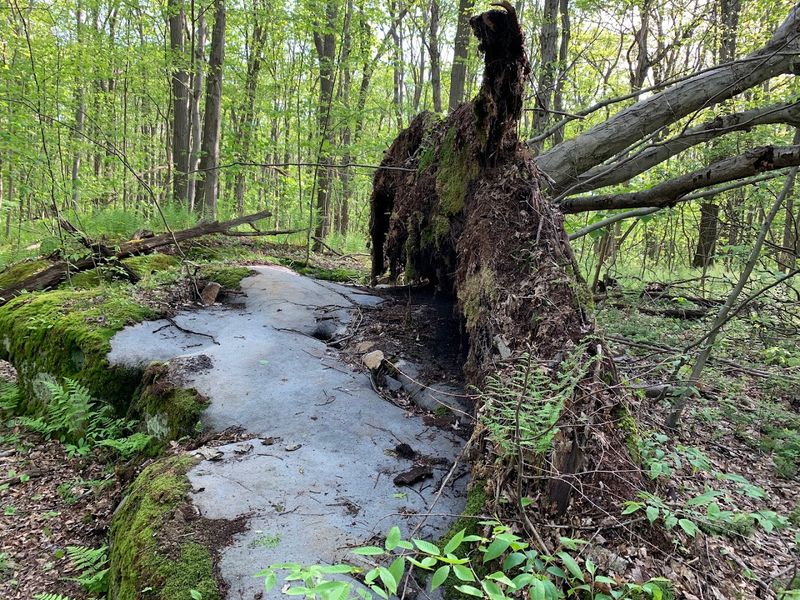
Stretching across 70 uninterrupted miles, the Laurel Highlands Hiking Trail traces the rugged backbone of Laurel Ridge, a geographic feature also known as Laurel Mountain or Laurel Hill depending on which map you consult.
Walking this path feels less like hopping between destinations and more like committing to a single, sustained conversation with the landscape. The trail weaves through a patchwork of protected lands including state parks, sprawling state forests, vital game lands, and occasional private parcels, each transition subtle yet distinct.
What strikes me most is the ridge’s insistence on staying high. You gain elevation early and maintain it for long stretches, which means the views keep coming without constant climbs.
This continuous nature makes the LHHT ideal for backpackers seeking immersion rather than quick hits of scenery.
Every step reinforces the sense that you’re traversing something ancient and enduring. Hikers from neighboring states, including Ohio, often seek out this unbroken stretch for multi-day trips that test endurance while rewarding patience with Pennsylvania’s finest wilderness vistas.
Ohiopyle Marks The Beginning Of The Journey North
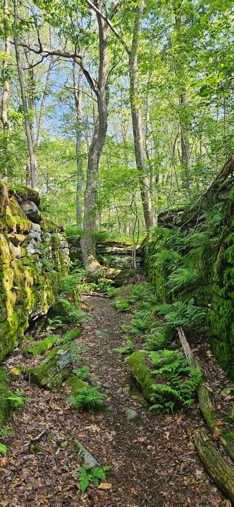
My journey along the Laurel Highlands Hiking Trail began at Ohiopyle State Park, a bustling outdoor hub where the southern terminus sits clearly marked at Mile 0. The park itself hums with energy, whitewater rafters launching into the Youghiogheny River while hikers like me shoulder packs and head toward quieter terrain.
The Ferncliff Natural Area trailhead offers dedicated parking for LHHT trekkers, a small but meaningful detail that signals the start of something serious. From here, the trail officially runs northeast all the way to the Conemaugh Gorge near Johnstown, framing your entire expedition between two distinct Pennsylvania landscapes.
Even before gaining significant mileage, Ohiopyle sets the tone with its blend of accessible amenities and wild character. I appreciated having a chance to top off water bottles and double-check gear before committing to the ridge.
Many hikers traveling from eastern Ohio target Ohiopyle as their gateway, drawn by its reputation and convenience. The trailhead isn’t just a starting line but an integral part of the LHHT story.
The Northern Terminus Sits Near Johnstown And The Conemaugh Gorge
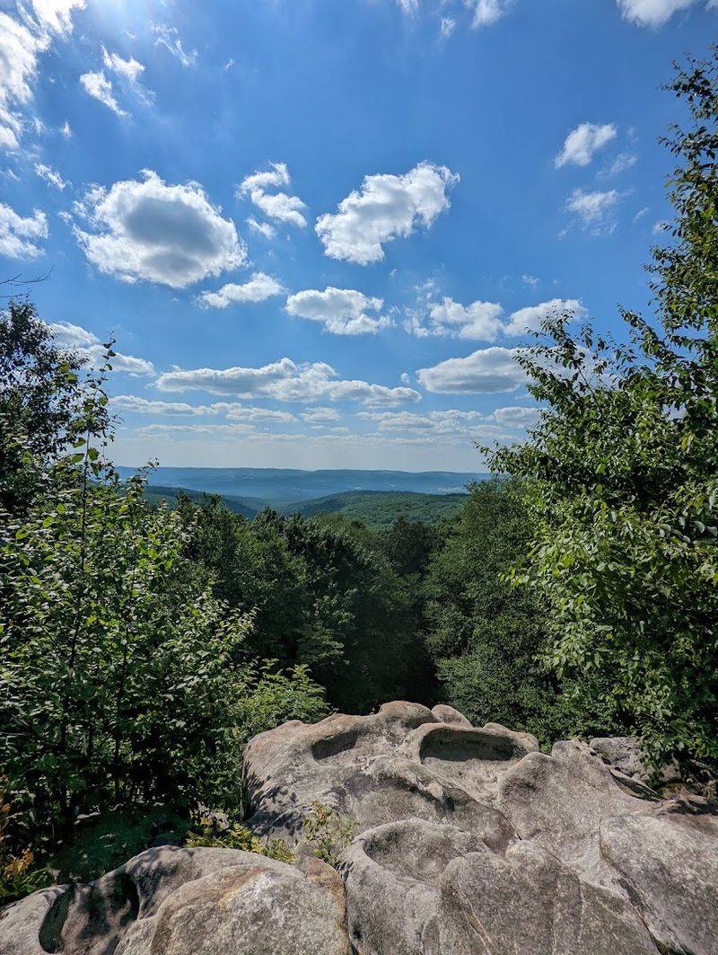
Reaching Mile 70 near Johnstown felt like closing a chapter I didn’t want to end. The northern terminus of the Laurel Highlands Hiking Trail officially concludes at Pennsylvania Route 56, a few miles west of Johnstown or just east of tiny Seward, depending on your reference point.
This endpoint offers more than just closure. The views overlooking the Conemaugh River valley provide a stunning visual crescendo, a final gift after 70 miles of effort.
I stood there longer than planned, tracing the river’s path and reflecting on the ridges I’d crossed.
The geological drama of the Conemaugh Gorge contrasts sharply with the gentler southern sections, adding layers to the trail’s narrative. Unlike the bustling start at Ohiopyle, this northern gateway feels quieter, almost contemplative.
Hikers arriving from places like southern Ohio find the drive to this terminus rewarding in itself, with scenic roads winding through the Alleghenies. The northern end doesn’t shout for attention but instead invites reflection, a fitting conclusion to a trail that demands both grit and gratitude.
The Opening Miles Are Among The Rockiest And Most Demanding
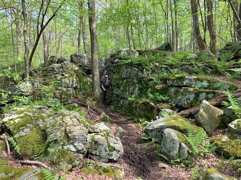
Ohiopyle’s charm vanishes quickly once you hit the trail. The first eight miles through Ohiopyle State Park rank among the LHHT’s toughest, a baptism by elevation that doesn’t ease you in gently.
I remember the relentless ascents and descents, some spanning 500 feet, others punishing me with 1,200-foot climbs that left my legs shaking.
Loose rocks and exposed roots turn every step into a calculated decision. The trail demands full attention here, no daydreaming allowed.
One particularly memorable stretch involves a brutal 2.5-mile, 1,000-foot climb to the Youghiogheny River Overlook, a panoramic reward that requires significant suffering first.
Rocky corridors and intricate stone mazes define these opening miles, beautiful in their ruggedness but unforgiving in their demands. I’ve hiked trails from Vermont to the Midwest, but this southern section stands out for sheer relentlessness.
Even seasoned backpackers from Ohio who’ve conquered other challenging paths find themselves humbled here. These miles test your resolve early, but they also forge a bond with the trail that carries you through the remaining 62 miles with earned confidence.
High Ridges Reveal Sweeping Views Of The Youghiogheny River
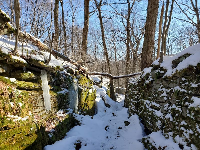
Earning those ridge-top views makes every uphill struggle worthwhile. The Youghiogheny River Overlook near the trail’s southern end stands out as one of the most spectacular vantage points, reached after a grueling thousand-foot ascent from the valley floor.
Standing on that flat-topped rock formation, I watched the river twist through a massive cleft in Laurel Ridge, a geological drama that unfolds in layers of green and blue. Sugarloaf Knob presides over the gorge wall across the way, adding depth to an already stunning composition.
The panorama extends for miles, forested ridges receding into atmospheric haze that shifts with the light. I spent longer here than my itinerary allowed, unable to tear myself away from the view.
These moments of expansive beauty justify the weight of your pack and the ache in your knees.
Photographers find endless inspiration at these overlooks, while contemplative hikers simply sit and absorb the scale. Even visitors accustomed to riverine beauty in places like Ohio pause here, recognizing something special in the Youghiogheny’s dramatic passage through the mountains.
The Conemaugh Valley Rewards Hikers Near The Northern End
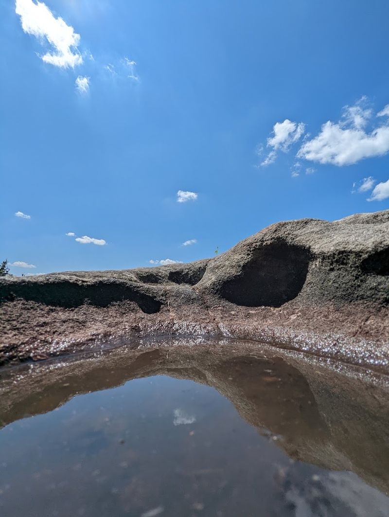
As the trail progresses northward, the character of the landscape shifts noticeably. The Conemaugh Valley emerges as a different kind of reward, trading the southern section’s rugged intensity for expansive, contemplative vistas that stretch toward Johnstown.
From strategic ridge points, I gazed across the Conemaugh River Valley, taking in its dramatic topography of high mountains and scenic gaps carved by ancient water. In the northernmost miles, the trail opens up to reveal valley views and even glimpses of industrial landmarks like the power plant in Seward, a reminder that wilderness and human history coexist here.
These northern vistas provide a powerful sense of conclusion, a visual punctuation mark after days of forest corridors and challenging climbs. The overlooks near Johnstown feel reflective, inviting hikers to pause and consider the journey behind them.
What struck me most was how the valley views contextualize the entire trail, showing where the ridge fits within Pennsylvania’s broader landscape. Hikers from as far west as central Ohio appreciate this transition, finding satisfaction in the way the trail evolves from wild ridge to broader valley perspective.
Yellow Blazes Guide Hikers Along The Point To Point Route
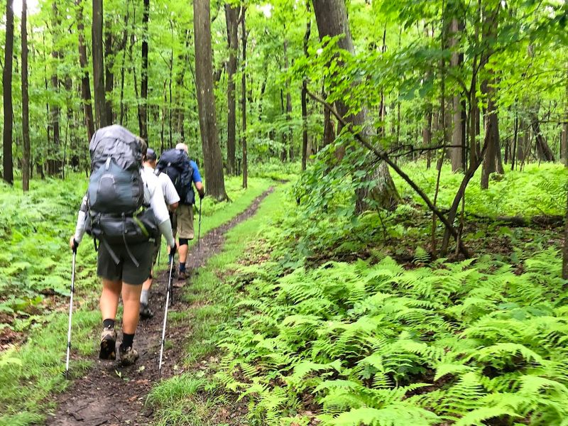
Navigation on the Laurel Highlands Hiking Trail proves refreshingly straightforward thanks to a consistent marking system that eliminates guesswork. Bright yellow blazes measuring 2 inches by 5 inches appear roughly every 100 feet along the entire 70-mile route, serving as reliable visual anchors through dense forest and open ridge alike.
Concrete mileage monuments placed at every mile provide precise progress updates, a detail I grew to appreciate as the days wore on. Knowing exactly where you stand helps with planning water stops, shelter arrivals, and mental pacing.
When connector paths branch off toward trailheads or shelter areas, blue blazes take over, clearly distinguishing these side routes from the main trail. At major road crossings, yellow bands wrapped around trees signal the continuation, preventing confusion at potentially disorienting intersections.
This comprehensive system transforms the point-to-point journey into an accessible experience even for hikers new to long-distance trails. Unlike some poorly marked paths in rural Ohio or elsewhere, the LHHT lets you focus on scenery rather than constant map checking, a gift that enhances the entire experience.
Eight Overnight Areas Break The Trail Into Manageable Sections
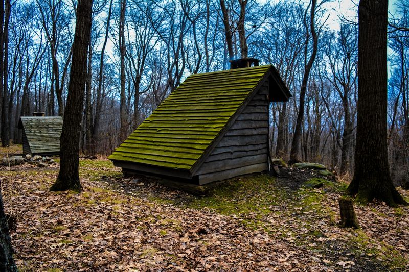
Tackling 70 miles becomes far more manageable thanks to eight thoughtfully placed overnight areas that divide the trail into achievable segments. These aren’t casual clearings but well-planned shelter zones designed specifically for multi-day backpackers.
The spacing varies between roughly 6 and 12 miles, offering flexibility in daily mileage depending on your fitness level and ambitions. I appreciated this variability, adjusting my pace based on terrain difficulty and weather conditions.
Crucially, these sites require advance reservations, a system that manages capacity while preserving wilderness character.
Each overnight area functions as a temporary base camp equipped with essential amenities. The reservation requirement initially seemed restrictive, but I came to value the predictability it provides, eliminating the nightly scramble for suitable camping spots that plagues some wilderness trails.
These structured stopping points allowed me to focus on the trail’s beauty rather than logistical anxieties. Even hikers traveling from distant locations like western Ohio appreciate knowing exactly where they’ll sleep each night, transforming a potentially stressful multi-day trip into a well-orchestrated adventure with room for spontaneity within a reliable framework.
The Campsites Sit Off The Main Path To Preserve The Wilderness Feeling
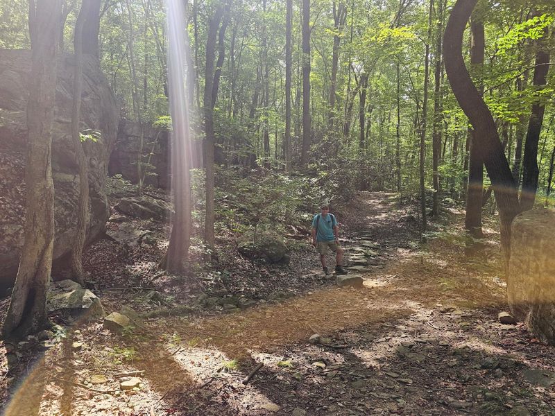
One design choice that elevates the Laurel Highlands Hiking Trail experience is the deliberate placement of campsites and shelters just off the main path. This isn’t accidental but a conscious preservation of the trail’s wild character, keeping the immediate corridor pristine and undeveloped.
By setting overnight areas back from the main route, the trail maintains its raw, untamed feeling. I noticed how this separation allowed full immersion in the natural environment without constant reminders of designated stopping points.
These shelter areas serve backpackers exclusively, ensuring facilities cater directly to multi-day trekkers rather than casual visitors.
While Adirondack shelters provide protected sleeping, each site also offers ample tent camping space. These tent sites aren’t individually numbered, fostering an organic, less structured camping experience.
Hikers with tent reservations simply find an unoccupied spot near designated posts, allowing freedom within established boundaries.
This careful planning ensures essential amenities remain accessible while preserving the overarching sense of deep wilderness. The result is an authentic backcountry experience that stands apart from more developed campgrounds you might encounter closer to populous areas in Ohio or elsewhere, offering genuine escape without sacrificing necessary comfort.